462 results
7th grade geography task card pdfs
Map Skills & Five Themes of Geography Activity Bundle | Unit Activities
My Map Skills & 5 Themes of Geography Activity Bundle | Unit Activities includes four of my activities resources for your unit on map skills and the five themes of geography at a discounted rate.★ You may also want to check out my "Less Mess" Map Skills and Geography Interactive Notebook Activities as well. Included resources are:1. The Five Themes of Geography Posters with Mr. HelpSometimes all it takes is something comical, silly, or colorful for students to remember a concept. These poste
Subjects:
Grades:
4th - 7th
Types:
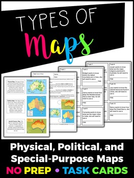
Types of Maps Task Cards
This product includes the following:- Teacher summary of each type of map- Cornell notes format of the types of map notes for students to record critical information- 12 Task cardsIMPORTANT: You will need Adobe Acrobat Reader in order to open and edit the file. You can download the software here.You are welcome to use this for classroom use, but this is not for commercial use. Click here to see more of my products!Thank you!Creative Classroom Activities :)Follow me on Instagram: creative.classro
Grades:
4th - 7th
Types:
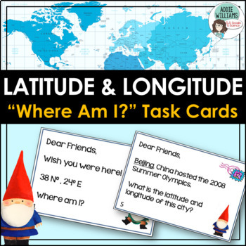
Latitude and Longitude Task Cards - World, US, and Canadian Capital Cities
LATITUDE & LONGITUDE - Three sets of task cards to help students practice finding locations with a set of latitude and longitude coordinates. Using gnomes as a theme (thinking of gnomes who have traveled the world and sent home notes) each task card is written like a postcard. Set 1 - students are given a set of coordinates and must locate the world capital city. (12 cards)Set 2 - students are given a world capital city and must figure out the latitude and longitude of the city. (12 card
Subjects:
Grades:
6th - 9th
Types:
Also included in: Latitude and Longitude Bundle - Activities, Task Cards, & Posters
Task Cards Scoot Activity Weathering, Erosion, Deposition & Earth’s Landforms
Thank you for your interest in this product,
Task Cards and Scoot Activity for Weathering, Erosion, Deposition & Earth’s Landforms!
Two for one low price!
This set of task cards can be used in several ways:
Differentiated Practice (You work with one group, and another group works with the cards)
Scoot Activity
Practice Quiz
Final Test
Center Task Cards
Individual or Small Group Remediation/Acceleration
There are 36 cards for Weathering, Erosion, and Deposition. Each card has 3 answer choi
Subjects:
Grades:
3rd - 7th
Types:
FIND THE MYSTERY COUNTRY • GRADES 5–8 • Great for Early Finishers!
A FUN GEOGRAPHY DETECTIVE GAME FOR COUNTRIES OF THE WORLD • GRADES 5–8 Find the Mystery Country is a set of 28 Task Cards that can be used for a fun, creative detective game about countries around the world. A thief named Theo has stolen extremely valuable, rare diamonds from a museum. He has escaped and eluded the police worldwide. Your students play detective and try to find him by eliminating countries one at a time using clues on Task Cards. The clues present your students with fascinatin
Subjects:
Grades:
6th - 8th
Types:
Southern and Eastern Asia -- Gallery Walk (Task Cards)
This is a fun, interactive way for students to review information that they’ve learned about Southern and Eastern Asia’s geography. You will print and cut out the 35 task cards, and then tape the cards around your classroom and hallway, spacing them out so that they aren’t too close together. During the Gallery Walk, the students will move around the room and answer the questions on the cards. They will write their responses to the task cards on their recording sheet. Task Cards are a fun (and s
Grades:
7th
Types:
Geography Skills Review Centers Activity
Need to review basic Geography skills? Looking for an engaging resource to review those Geography skills?Use this 26 page Geography Skills Review Centers Activity to help your students review the basic Geography skills that are so vital for any Social Studies course. Open the Preview to see the complete product.Set includes 4 skills review cards on each of the following topics:ChartsGraphsMapsInformational TextsEach card provides 5 questions to guide students in the analysis of the informationa
Grades:
3rd - 12th
Types:
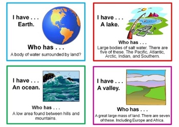
I have . . . Who has . . . - Landforms, Continents, and Oceans
This is a 20 slide presentation that can be used as a review or printed out and used as a game.•As a review, just follow the sequence asking students to answer each question accordingly. •As a game, print out slides and hand one out to each student. Any student can start by stating what he/she has and another students respond when their given card is the answer to someone else’s question. Sounds complicated, but it’s easy once you see the cards. Lookin for more LANDFORMS resources? Look here!Lan
Grades:
1st - 7th
Types:
Africa's Geography -- Gallery Walk (Task Cards)
This is a fun, interactive way for students to review information that they’ve learned about Africa’s geography. You will print and cut out the 30 task cards, and then tape the cards around your classroom, spacing them out so that they aren’t too close together. During the Gallery Walk, the students will move around the room and answer the questions on the cards. They will write their responses to the task cards on their recording sheet. Task Cards are a fun (and sneaky) way of getting students
Subjects:
Grades:
7th
Types:
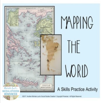
Mapping the World Social Studies Skills Practice Activity
Mapping the World Social Studies Skills Practice ActivityUse this skills practice activity to introduce students to maps and world geography or to review skills at the beginning of a World History course.Introduces students to the skill of cartography and examines the importance of cartographers and cartography for accurate historical understanding.Includes pages (for presentation) to introduce activity, to present vocabulary terms, to wrap up activity, and to overview lesson concepts.Pages incl
Subjects:
Grades:
5th - 10th
Types:
Southwest Asia's Geography -- Gallery Walk (Task Cards)
This is a fun, interactive way for students to review information that they’ve learned about Southwest Asia’s geography. You will print and cut out the 30 task cards, and then tape the cards around your classroom and hallway, spacing them out so that they aren’t too close together. During the Gallery Walk, the students will move around the room and answer the questions on the cards. They will write their responses to the task cards on their recording sheet. Task Cards are a fun (and sneaky) way
Grades:
7th
Types:
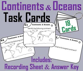
Continents and Oceans Task Cards Activity (World Geography Unit: Map Skills)
These task cards are a great way for students to practice their skills with identifying the continents and oceans.In this activity students are to identify each of the seven continents and five oceans as shown within a map of the world. Other questions are included such as: what continent is the largest?If you enjoyed this product, check out my other Task Cards for Social Studies:Important: All the Task Cards below are in my: Social Studies Bundle (50% OFF!)United States History: Get all 39 (3
Grades:
3rd - 11th
Types:
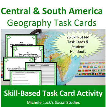
Central and South America Geography Task Cards Activity Latin American
Introduce students to Central and South America with fun and engaging task cards! Address the Geography of Central and South America while practicing skills and learning new and interesting facts about the region!This Task Card Set includes 25 cards to help students investigate the facts and practice geographic skills on the region of Central and South America. Covers topics such as longitude and latitude, physical features, culture, population, and so much more.Includes:25 Task Cards with cont
Grades:
5th - 10th
Types:
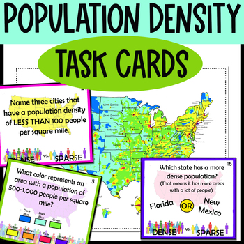
Population Density Map Task Cards - how to read special purpose maps
This is a set of 24 beautiful task cards to help students work on reading a population density map. It also comes with a kid-friendly, colorful map for the kids to work on. Students can write their answers on the task cards or use the included recording sheet. Use these as task cards, for a center, or pass out the pages intact like a packet! It is a very versatile resource. I created this population density map so that students can have a fun, colorful, and easy-to-read map to work on. It is col
Grades:
3rd - 10th
Types:
WHERE IN THE WORLD IS WYATT? • A Geography Game of World Capitals
a Fun, Back-To-School Activity! Where in the World Is Wyatt? is a set of 28 Task Cards that can be used for a fun, creative detective game about capital cities around the world. Wyatt is hiding and your students play detective and try to find him by eliminating capital cities using clues on Task Cards. The clues present your students with fascinating facts so they learn about the various capital cities as they search for Wyatt. Encourage the use of reference materials and maps in solving the c
Subjects:
Grades:
5th - 8th
Types:
Also included in: WHERE IN THE WORLD BUNDLE? • 3 Geography Detective Games
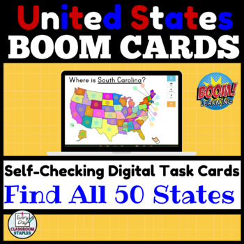
Identify all 50 States Boom Cards™ - United States Map Recognition
Practice finding all 50 states with these interactive task cards hosted on BOOM LEARNING™. On each slide, students see a map of the United States and are asked to find a state. They simply click on a state on the map to see if they are correct. The slides are self-checking and students will see immediately if they are incorrect and can try again. This simple design gives students a chance to practice identifying all of the states again and again while teachers can watch student progress grow as
Grades:
4th - 7th
Types:
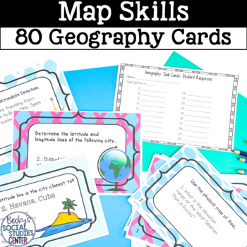
Map Skills Geography Task Cards
Task cards are much more exciting than worksheets and they are an effective teaching tool!Students will have the opportunity to practice their map skills with 80 geography-themed task cards.The following categories are included:1. Compass rose (20 task cards)2. Elevation key (20 task cards)3. Latitude and longitude (20 task cards)4. Important latitude lines and climate regions (20 task cards)Geography questions cover all continents! Task cards, student answer sheet and key are all included. St
Subjects:
Grades:
5th - 7th
Types:
CCSS:
Also included in: Geography Activities, Projects & Task Cards

Latitude and Longitude Mystery Locations
Looking for a fun and engaging way to practice latitude and longitude skills? In this resource, you'll find 3 sets of task cards with coordinates. Students will use those coordinates to find countries around the world. With that information, they will find a mystery location somewhere in the world. 3 sets are included, therefore, 3 mystery locations can be found. The sets are differentiated - the first being the most simple and the third being the longest and most difficult.Included:• 3 sets of
Subjects:
Grades:
4th - 7th
Types:
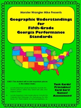
Geographic Understandings for the Fifth-Grade Georgia Performance Standards
44-pages of activities to help meet the Georgia Performance Standards:
SS5G1 The student will locate important places in the United States.
Locate important physical features; include the Grand Canyon, Salton Sea, Great Salt Lake, and Mojave Desert.
Locate important man-made places; include the Chisholm Trail; Pittsburgh, PA; Gettysburg, PA; Kitty Hawk, NC; Pearl Harbor, HI; and Montgomery, AL.
This set includes a 15-page black and white printable "workbook" for locating the places mentioned
Grades:
3rd - 8th
Types:
WHERE'S WENDY? • a Geography Terms Detective Game • GRADES 5–8
• Geography Terms • Two Separate Detective Games for more FUN!Where’s Wendy? • Grades 5–8 is a set of two separate geography games (28 Task Cards each) filled with clues to help your students find where Wendy is hiding. This is a FUN way to teach geographical terms as your students eliminate possible locations using the clues until only one geography term is left – Wendy’s location! • Game #1 has a thin, colored border. • Game #2 has a thicker, patterned border. The Task Card clues provid
Subjects:
Grades:
5th - 8th
Types:
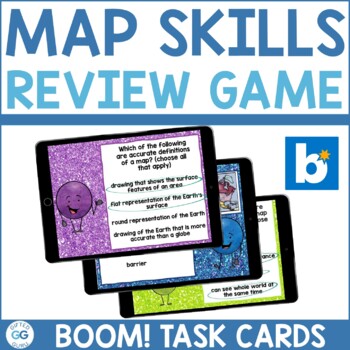
Map Skills Boom Cards™ Review Game | Digital Task Cards | Distance Learning
Looking for a comprehensive map skills review for your students that works for in-class instruction or distance learning?These digital task cards are terrific on laptop computers, desktop computers, Chromebooks, tablets, or mobile devices.They're self-grading and no-prep!***NOTE: Boom Card pricing changes, so make sure you have the account level you need before purchasing. This Map Skills Review Game includes: A link to access all 48 Map Skills Digital Task Cards on Boom Learning™ Notes to show
Subjects:
Grades:
4th - 7th
Types:
NGSS:
4-ESS2-2
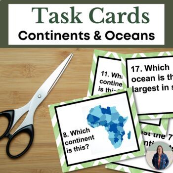
Continents and Oceans Task Cards for Geography and Map Skills for Social Studies
These 18 task cards are perfect for reinforcing geography and map skills. Students will identify and label the continents and oceans in this task cards activity. These 18 task cards include images and questions for each of the 7 continents, questions about the 5 oceans, and labeling a compass rose. Students will also identify cardinal directions (North, East, South, West) in these task cards. This is great for helping all students access grade level content! TEACHERS LIKE YOU SAID…"Great activit
Grades:
6th - 9th
Types:
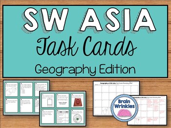
Geography of Southwest Asia Task Cards (SS7G5, SS7G6, SS7G7, SS7G8)
This task card set is the perfect way for your students to review key concepts of Southwest Asia's Geography (as outlined by the Georgia Standard of Excellence: SS7G5, SS7G6, SS7G7, SS7G8). These task cards are a great way to review for a test; they are perfect for a center, fun homework assignment, or even a creative activity to leave with a substitute. They’re a fun (sneaky) way of getting students to answer questions that would normally be on boring, old worksheets! Included in this file: ~
Grades:
7th
Types:
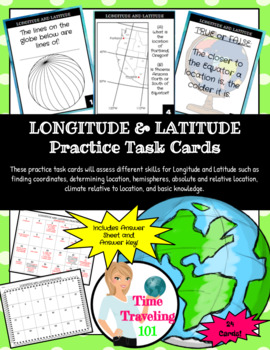
Longitude and Latitude Task Cards
This Longitude and Latitude Task Card set will assess your student's knowledge of Longitude and Latitude by asking them to find coordinates, define terms, study climate and location, review absolute and relative location, etc. all within a quick set of 24 full color cards. These task cards can be used as review, early finisher activities, games of SCOOT, etc. It includes an answer sheet for independent work and the answer key.
Grades:
5th - 7th
Types:
Showing 1-24 of 462 results


