745 results
7th grade geography bulletin board idea pdfs
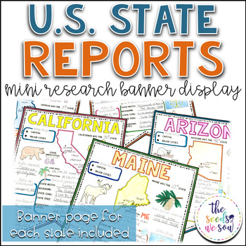
State Report Research and Banner Display Project
If you're looking for an alternative way for your students to research and report on states in the U.S., then look no further. These research banners are not only engaging and educational, they are also visually appealing and provide a great classroom/hallway display.This set includes:● 50 visually appealing state banners● 50 state banners with writing lines (and state flag)● 50 blank state banners for student creativity● Teacher lesson plan page (includes research web sites)● Student recording
Grades:
5th - 8th
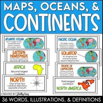
Continents and Oceans Maps and Posters | Geography and Maps Word Wall
Continents and Oceans and Map Skills can be fun to teach, especially when you have this great set of word wall cards. Each card includes the word, definition, and a clear, colorful illustration. Make a great bulletin board in just minutes!Click HERE to save 20% with the Continents, Oceans, and Map Skills BUNDLE!Please click on the PREVIEW above to get a clear picture of everything included.PERFECT for visually reinforcing landform vocabulary!This helpful continents, oceans, and maps word wall se
Grades:
2nd - 8th
Also included in: Maps, Continents and Oceans, Landforms, and Map Skills Bundle
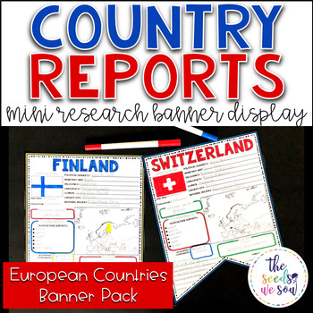
Country Report Research Display: Countries of Europe
If you're looking for an alternative way for your students to research and report on countries of the world, then look no further. These research banners are not only engaging and educational, they are also visually appealing and provide a great classroom/hallway display.This set only includes countries of the European continent (The total number of independent countries/states in Europe is 51. UK countries also included). See the list of countries below.Here's what you'll receive: ● 55 visuall
Grades:
5th - 8th
Also included in: Country Report Research Banner Display Bundle
FRANCOPHONE COUNTRIES FRENCH SPEAKING COUNTRIES ⭐ Videos PPT Google Maps Quizzes
Do you struggle to make Francophone countries culture come alive? Want to bring your students on virtual field trips to all the major French speaking countries without ever leaving your classroom? Want to convince even your most reluctant learners to speak French so they can visit all these beautiful places? This is a whole year of Francophone culture. Hours of lesson plans including 101 Francophone countries video clips, colorful photos, facts, nationality practice, flashcards, a research pr
Subjects:
Grades:
2nd - 12th
Map Skills: Latitude and Longitude
Geography is such an abstract and difficult concept for students, but it is important that they begin to orient themselves as they read, learn and discover more about the world around them. This set has helped my classes make the abstract more concrete.
-Vocabulary Foldable (pages 3-4)
-Vocabulary Cards and picture cards (pages 5-8)
-CLOSE Read about Longitude and Latitude
-An adapted Craftivity (pages 9-12)
-Written Reflection (differentiated) (pages 13-14)
-Performance Task/ Group Challenge
Grades:
3rd - 7th
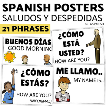
Saludos y Despedidas Classroom Bulletin Board Greetings and Farewells in Spanish
Support your students with this print and hang classroom display! This bulletin board is clear and accessible for your students, and easy for you to use!Print and hang the beautiful posters to give your students a word wall to welcome them into your Spanish classroom. Click here to save on a bundle of resources for Spanish greetings vocabulary!INCLUDED PAGES:21 vocabulary phrasesversions with and without the English supportsPrintable letters for classroom display "Saludos y despedidas"PHRASES IN
Subjects:
Grades:
7th - 11th
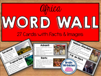
Africa Word Wall
These word wall cards are the perfect way for your students to familiarize themselves with important vocabulary words from the Africa Unit (as outlined by the Georgia Standards of Excellence: SS7G1, SS7G2, SS7G3, SS7G4, SS7CG2 and SS7H1). Please see the preview file for a complete list of the words included. The cards include the vocabulary term, important facts, and images. Just print out the cards, laminate them, and tape them to you wall and you are good to go!
Included in this file:
~Georgi
Grades:
7th
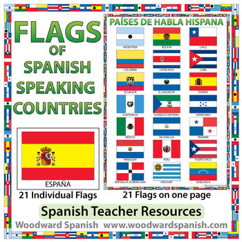
Flags of Spanish-speaking Countries
Flags of the 21 Spanish-speaking countries.
These flags are perfect for decorating the Spanish classroom. You may also want to laminate the flags and use them as large flashcards.
There are 21 individual flags of the following Spanish-speaking countries: Argentina, Bolivia, Chile, Colombia, Costa Rica, Cuba, Ecuador, El Salvador, España, Guatemala, Guinea Ecuatorial, Honduras, México, Nicaragua, Panamá, Paraguay, Perú, Puerto Rico, República Dominicana, Uruguay, Venezuela.
Each flag is on its
Subjects:
Grades:
1st - 12th, Adult Education
Also included in: Spanish Bundle – Spanish-speaking Countries and Capitals
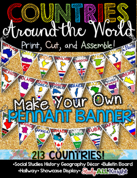
Countries Around the World Classroom Decor Make Your Own Pennant Banner
Worldwide Countries Classroom Decor Make Your Own Pennant BannerGrades K-12 social studies, history, geography, Model UN, global studies, world history Celebrate our world! Teachers can decorate their classrooms, hallway, gymnasium, media center, or anywhere in their building. You'll get 213 pennants to choose from. Pick pennants that represent your student's heritage, ethnicities, backgrounds, ancestry. They are colorful and awesome to look at. The countries pennant will bring enthusiasm and un
Grades:
PreK - 12th, Higher Education, Adult Education, Staff
Also included in: English Teacher Activities and Fun Bundle
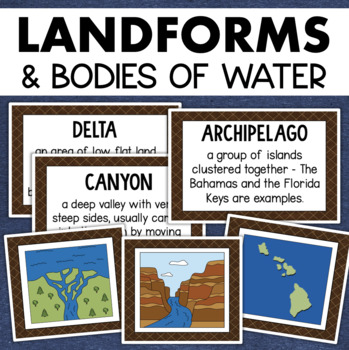
Landforms and Bodies of Water Posters Geography Skills Vocabulary Worksheet
Give your landforms and bodies of water unit a visual boost with this set of illustrated examples! Students will get to SEE what each landform or water body looks like and better understand their features.WHAT YOU WILL GETThis resource contains 24 visuals plus a digital assessment. Each page includes an illustration of the landform or body of water along with the title and definition. Includes:archipelagobaybeachbuttecanalcanyoncavecliffdeltaduneglacierhillislandisthmuslakemesamountainoceanpenin
Grades:
4th - 7th
Also included in: Geography Landforms & Bodies of Water Types of Maps Map Elements Posters
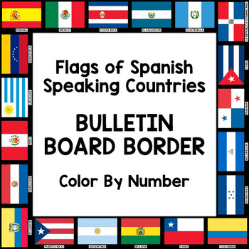
Flags of Spanish-Speaking Countries Bulletin Board Border
Decorate your classroom bulletin boards with these colorful flag borders. Your students will enjoy learning about the 21 flags of the Spanish-speaking world as they follow a color by number key to color in each section of the flags. Only five colors are needed: rojo, amarillo, verde, azul cielo, and azul (red, yellow, green, sky blue, and blue). This is a great activity when learning about the 21 Spanish-speaking countries, Hispanic culture, holidays, or colors.
Includes:
- A set of 3 color by
Subjects:
Grades:
K - 10th
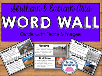
Southern and Eastern Asia Word Wall
These word wall cards are the perfect way for your students to familiarize themselves with important vocabulary words from the Southern and Eastern Asia Unit (as outlined by the Georgia Standards of Excellence: SS7G9, SS7G10, SS7G12, and SS7H3). Please see the preview file for a complete list of the words included. The cards include the vocabulary term, important facts, and images. Just print out the cards, laminate them, and tape them to you wall and you are good to go!Included in this file:~Ge
Grades:
7th
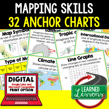
Mapping Skills Anchor Charts (World Geography Anchor Charts), Posters, Google
Mapping Skills Anchor Charts (Great as Bellringers, Word Walls, and Concept Boards), Mapping Skills Posters, Geography Review Pages, Digital Activity via Google Classroom This bundle will take your through the entire Geography curriculum. It will include all components of Geography. This is perfect for traveling around the world in style. THIS IS ALSO PART OF World Geography MEGA BUNDLE, Mapping Skills BUNDLE, Geography ANCHOR CHART BUNDLE Anchor charts are great for representing the topics
Grades:
6th - 12th
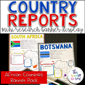
Country Report Research Display: Countries of Africa
If you're looking for an alternative way for your students to research and report on countries of the world, then look no further. These research banners are not only engaging and educational, they are also visually appealing and provide a great classroom/hallway display.This set only includes countries of the African continent (The total number of independent states in Africa is 54). See the list of countries below.Here's what you'll receive: ● 54 visually appealing country banners ● 54 countr
Grades:
5th - 8th
Also included in: Country Report Research Banner Display Bundle
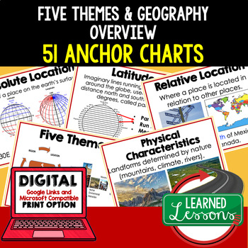
Five Themes of Geography Anchor Charts (World Geography Anchor Charts), Posters
Five Themes and Geography Anchor Charts (Great as Bellringers, Word Walls, and Concept Boards), Five Themes Posters, Geography Review Pages, Google Classroom, Print & Digital Distance Learning This bundle will take your through the entire Geography curriculum. It will include all components of Geography. This is perfect for traveling around the world in style. THIS IS ALSO PART OF World Geography MEGA BUNDLE, Five Themes BUNDLE, Geography ANCHOR CHART BUNDLE Anchor charts are great for
Grades:
6th - 12th
Types:
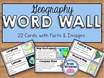
Geography Word Wall
These word wall cards are the perfect way for your students to familiarize themselves with important vocabulary words related to basic geography concepts. Please see the preview file for a complete list of the words included. The cards include the vocabulary term, important facts, and images. Just print out the cards, laminate them, and tape them to you wall and you are good to go!
Included in this file:
~Vocabulary Word List – slide 2
~Geography Word Wall cards (22 total) – slides 3-13
Here a
Subjects:
Grades:
5th - 7th
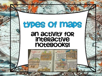
Types of Maps Poster Set AND Interactive Notebook Activity
Make learning about these 6 types of maps FUN with this class poster set with maps that can be used as a whole class sort and an Interactive Notebook Activity where the kids are creating the 6 types of maps pockets and sorting the maps into the correct pocket for safe keeping and to refer back to!
Maps included:
Physical Maps
Political Maps
Thematic Maps
Climate Maps
Resource Maps
Topographic Maps
Don't want to run copies for every student? Print and laminate for an instant center or statio
Grades:
4th - 10th
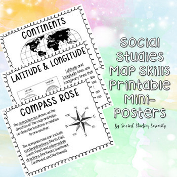
Social Studies Map Skills Posters Printable Bulletin Board Display
These posters (can print on regular 8.5"x11" paper) are great for a social studies bulletin board. These cute mini posters include important map skills such as countries vs. continents, latitude and longitude, map key, map scale, compass rose, and more! Print the mini posters on colorful paper, laminate, add a world map, and you will have a beautiful and informative social studies bulletin board!
Grades:
PreK - 9th
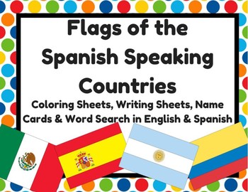
Flags of Spanish Speaking Countries Activities (Banderas paises hispanohablantes
Flags of Spanish Speaking Countries Activities (Banderas de los paises hispanohablantes)2- Sheets with all 21 Spanish speaking countries (small)21- Flag with name of country (English & Spanish versions) 2- Writing sheets that could be copied on the back (10 facts about... & I know a lot about___) (English & Spanish versions) 1- Word search (English & Spanish versions) 1- Flags quiz (students write in name of flag) (English & Spanish versions)
Subjects:
Grades:
K - 12th
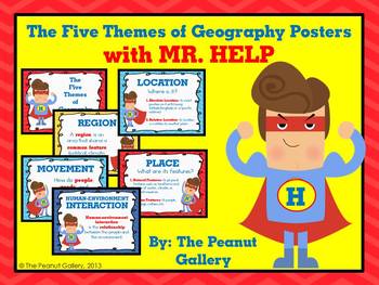
The Five Themes of Geography Posters (with MR. HELP)
{Key Words: Geography; Themes of Geography; Five Themes of Geography; Movement; Region; Human Environment Interaction; Location; Place}Sometimes all it takes is something comical, silly, or colorful for students to remember a concept. These posters for the five themes of geography reinforce concepts to students on posters with colorful, fun graphics that will grab their attention.The set uses the mnemonic device MR. HELP and includes a heading poster and poster for each theme with a very brief d
Grades:
3rd - 7th
Country Research Projects Template | Countries Around the World | Country Report
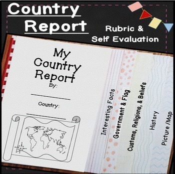
Make learning about other countries exciting with this easy to use country report! Students will explore other cultures around the world with these open-ended research pages and create a 6 page flip book country research project. I've included directions, country report blacklines, a country report rubric, and a student self evaluation. Everything you need to teach and organize country reports is included in this time-saving unit!✅ What's included: ✅interesting factsgovernment and the flagcustom
Subjects:
Grades:
4th - 7th
5 Themes of Geography Interactive Bulletin Board and Note Pages
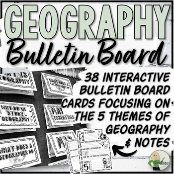
This interactive bulletin board resource for geography and map skills consists of 38 bulletin board cards and 2 accompanying note pages. The bulletin board covers the five themes of geography, including the definition of geography, its importance, the role of a geographer, and map essentials. Students can use the bulletin board, textbook, and teacher-selected websites as reference materials when completing the note worksheets.Just Added:32 half-page bulletin board cards including vocabulary and
Grades:
5th - 10th, Staff
Also included in: Geography Store Growing Bundle
Colombia Culture Readings Classroom Display | Spanish English
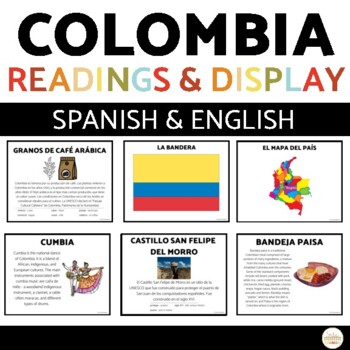
Introduce your students to culture through reading! This printable activity is clear and accessible for your students, and easy for you to use!Students read and complete comprehension activities on the country of Colombia! The readings, graphic organizer, and comprehension questions are included in Spanish and English so you can choose which language best suits your students at their level.Click here to save 20% in a bundle of similar resources!INCLUDED PAGES:13 informational pages in Spanish an
Subjects:
Grades:
7th - 11th

Map Features Types of Maps Map Skills Geography Vocabulary Posters
45 posters in color and black and white versions! Learning about map features, types of maps, and maps skills is easy with this printable poster bundle! This poster bundle contains a wealth of map and geography vocabulary posters that serve as visual references to your students. These charts make for beautiful social studies classroom décor and can be arranged in a word wall, be used as anchor charts, or form the basis for other activities!Each poser contains a key map vocabulary term, a represe
Grades:
5th - 9th
Also included in: World Geography Posters Classroom Decor Social Studies Value Bundle
Showing 1-24 of 745 results


