2,123 results
7th grade geography assessment pdfs
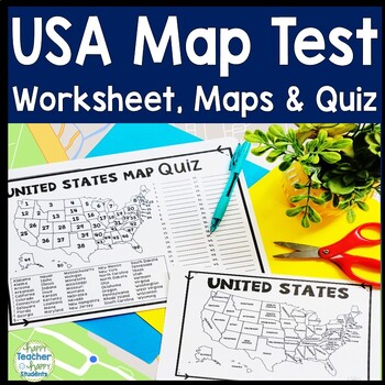
United States Map Quiz & Worksheet, USA Map Test w/ Practice Sheet, US Map Quiz
United States Map Test: Easy-to-read US Map Quiz and Practice Sheet will help students learn to correctly identify and locate all 50 states. This product also includes a labeled USA Map in full & half-page design and blank USA map for practice. Learning how to correctly identify all 50 states on a map of the United States is a critical skill for students of all ages.US Map Quiz (US Map Test) is ready to print-and-go to test knowledge of the USA Map and 50 states. This map of the United State
Grades:
2nd - 8th
Types:
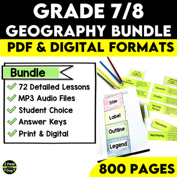
Grade 7 and 8 Geography Bundle Ontario Curriculum
This comprehensive Grade 7/8 Geography Bundle is meticulously designed to empower teachers and captivate students with 72 in-depth and engaging lessons. This bundle is specifically tailored to help educators nurture a deep understanding of essential concepts in both physical and human geography.Through this bundle, your students will embark on a journey exploring various geographical physical patterns, including landforms, water systems, vegetation regions, climate regions, and the challenges po
Subjects:
Grades:
7th - 8th
Types:
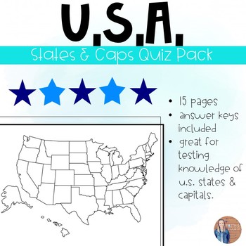
U.S. States and Capitals Quiz Pack
*** Updated 7/8/19U.S.A. States and Capitals Quiz Pack:One of my favorite subject areas to teach are U.S. Regions! My students are tested on the states and capitals throughout the year separated by region. This resource will allow you to test your students knowledge on all 50 U.S.A. states and capitals. Several different quiz options included (all with answer keys).Check out my other regional quiz packs or buy the bundle!Thank you for your consideration!Faith and Fourth
Subjects:
Grades:
3rd - 7th
Types:
Also included in: U.S. States and Capitals BIG Bundle-Quiz Packs AND Flash Cards
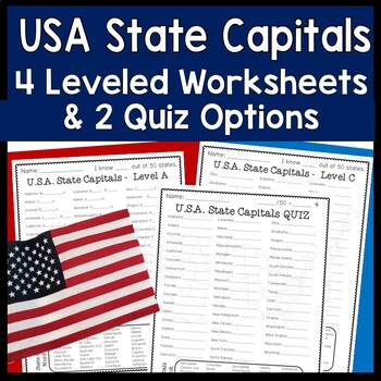
State Capitals | 4 Worksheets & 2 Quiz (Tests) USA States and Capitals Practice
United States Capitals Worksheets and Quiz: 4 Leveled & Differentiated State Capitals Worksheets and 2 US State Capitals Quiz Options with Answer Key. Students can complete each worksheet in order or assign different sheets for different students based on ability. What a great way to easily differentiate! Two quiz options are available to best suit students’ needs.USA State Capitals Leveled Worksheets & Quizzes:Level A: First and last letter of capital city is given to guide students Wor
Grades:
3rd - 8th
Types:

Map Skills: Latitude and Longitude
Geography is such an abstract and difficult concept for students, but it is important that they begin to orient themselves as they read, learn and discover more about the world around them. This set has helped my classes make the abstract more concrete.
-Vocabulary Foldable (pages 3-4)
-Vocabulary Cards and picture cards (pages 5-8)
-CLOSE Read about Longitude and Latitude
-An adapted Craftivity (pages 9-12)
-Written Reflection (differentiated) (pages 13-14)
-Performance Task/ Group Challenge
Grades:
3rd - 7th
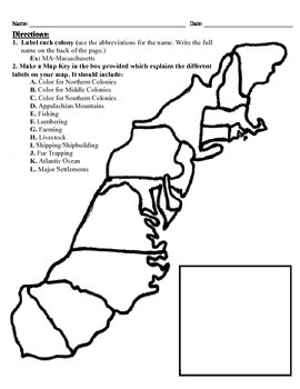
13 Colonies Map Project (8.5x11)
This project has three different differentiated levels for different levels of students, or to have them work up to... This project is set-up to print on 8.5x11 sheets of paper. In the first tier (the easiest), the students are given a map of the thirteen colonies and have to label each colony and then color the Northern/North Eastern Colonies, the Middle Colonies and the Southern Colonies different colors in a map key they create. In the second tier (medium difficulty), the students have to la
Subjects:
Grades:
3rd - 12th
Types:
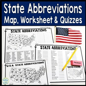
State Abbreviations: Maps, Worksheet & Quiz (Test) with 2 Difficulty Options
US State Abbreviations Maps, Worksheets and Quiz: Two Practice & Quiz options are available to best suit students’ needs. One version requires students to identify the state on a numbered map and also know the abbreviation. The other version only requires students to know the abbreviation for a listed state. Choose the version that best suits your classroom!Looking for more STATE Activities?❤ State Research Organizer❤ United States Map Worksheets and Quiz❤ State Project: Create a Commercial
Grades:
3rd - 8th
Types:
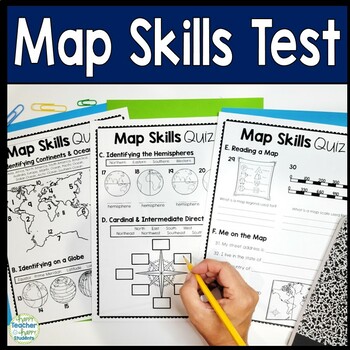
Map Skills Test | 3-Page Mapping Skills Quiz with Answer Key | Map Skills Quiz
Easy-to-read Map Skills Quiz will assess students' understanding of: Oceans & Continents, Latitude & Longitude, Hemispheres, Cardinal & Intermediate Directions, Me on the Map, Equator & Prime Meridian, Map Key & Map Scale. An answer key is included for easy grading. Happy teaching!You may choose to use this test as a Map Skills worksheet for students that need extra practice.This Map Skills test includes:• Oceans• Continents• Latitude & Longitude• Hemispheres• Cardinal &a
Subjects:
Grades:
2nd - 8th
Types:
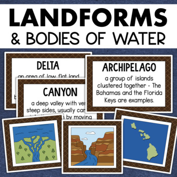
Landforms and Bodies of Water Posters Geography Skills Vocabulary Worksheet
Give your landforms and bodies of water unit a visual boost with this set of illustrated examples! Students will get to SEE what each landform or water body looks like and better understand their features.WHAT YOU WILL GETThis resource contains 24 visuals plus a digital assessment. Each page includes an illustration of the landform or body of water along with the title and definition. Includes:archipelagobaybeachbuttecanalcanyoncavecliffdeltaduneglacierhillislandisthmuslakemesamountainoceanpenin
Grades:
4th - 7th
Also included in: Geography Landforms & Bodies of Water Types of Maps Map Elements Posters
FULL Grade 9 Canadian Geography Course Bundle - Geo Lessons & Assessments
This Grade 9 Canadian Geography Course Bundle has over 1,200 slides of content, 16 quizzes, 12 assessments, and the final exam. The bundle includes 32 slide presentations within 14 Google Drive folders to cover all necessary expectations in CGC1D. Content topics such as: Canadian Political Geography, Natural Disasters, Topographic Maps, Canadian Industries, Resource Management, Population Trends, Exam Review, and more!! 16 Quizzes are included with answer keys to assess student understanding qu
Subjects:
Grades:
7th - 10th
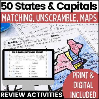
50 States and Capitals Worksheets | Print & Digital Resource
Help your students learn the 50 States and Capitals by region by matching states and capitals, unscrambling, and creating map worksheets. The 50 United States and Capitals Map Activities are print and go easy to use. Update: Digital version is now included! 7/22Click Here to View The United States and Capitals Geography Review Activities and Assessment Bundle (Save 40% when you buy as a bundle)Product includes:Northeast Region Matching States and CapitalsNortheast Region Unscramble States and Ca
Grades:
3rd - 8th
Types:
Also included in: 50 States and Capitals Bundle Map Print & Digital Resource 50% OFF
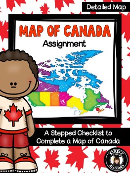
Map of Canada Assignment - Detailed Map
This is a minimal-prep assignment that you can simply photocopy and distribute to students now! The assignment is broken down into 10 steps and is perfect for an applied or academic classroom. The assignment includes a built-in checklist for students to use while completing their maps.
There are two versions of this assignment included in this download – one with and one without the post-it note annotation. There are also two rubrics to reflect both versions of this assignment. You can use the
Subjects:
Grades:
4th - 12th, Higher Education, Adult Education
Types:
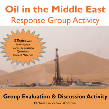
Oil in the Middle East Response Group Activity - Geography
In this response group activity, students learn about the benefits and costs of the Oil in the Middle East. A number of implementation ideas are provided along with the 23 page set to allow students to investigate 5 topics.Content Topics CoveredGeography of the Middle EastThe Processing of OilThe Human ImpactThe Export BusinessWorld ConnectionsAbout this ResourceAll materials are provided and include reading cards for each center, primary sources such as images, charts, and graphs to analyze, a
Grades:
6th - 12th
Types:
Also included in: Modern World History Interactive Lessons Bundle Walking Tours & More
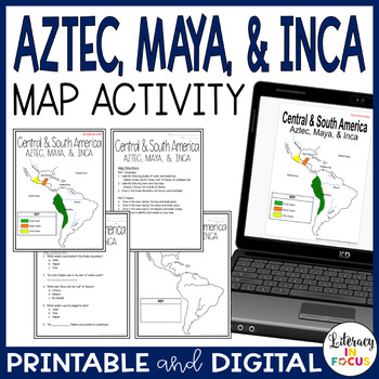
Aztec Maya Inca Map Lesson and Assessment | Google Classroom | Printable
This map lesson focuses on the empires and surrounding geography of the Aztec, Maya, and Inca civilizations. Students will focus on the geography of Central and South America in relation to the empires of the Aztec, Maya, and Inca. Captivate all types of learners using maps! A digital version is included for use in your Google Classroom. **This resource is part of the World History Map Activities Bundle. TEN map lessons and assessments are included at a 20% discount price! Click here to see
Grades:
5th - 8th
Types:
CCSS:
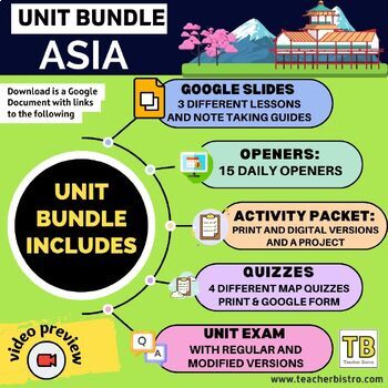
BUNDLE Asia: Slides, map quizzes, openers, note taking guides, activity packet
Give your students a SOLID background in the geography of AsiaCountries in focus: SOUTH ASIABangladeshBhutanIndiaNepalPakistanSri LankaCountries in focus: EAST ASIAChinaJapanMongoliaNorth KoreaSouth KoreaTaiwanCountries in focus: EAST ASIACambodiaIndonesiaLaosMalaysiaMyanmarPhilippinesThailandVietnamSingaporeThis Bundle Includes:3 Google Slides lessons with notetaking guides: South Asia, East Asia and Southeast Asia15 daily openers with student worksheetsActivity packet (print, digital, editable
Grades:
7th - 10th
Types:
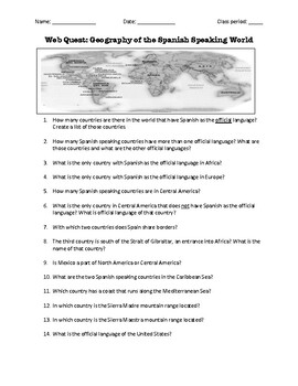
Web Quest: Geography of the Spanish-Speaking World (emergency sub plan)
This activity contains 40 questions in English written in a trivia format. It is excellent if you plan to have a substitute teacher as it will keep your students busy researching answers. The questions can also be useful to motivate class discussion. Includes answer key.
Subjects:
Grades:
5th - 12th, Higher Education, Adult Education
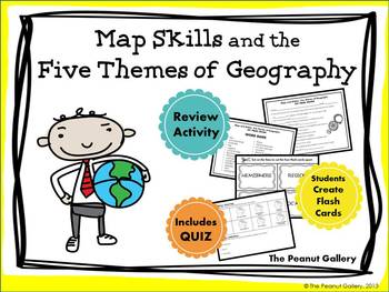
Map Skills and the Five Themes of Geography (Activity and Quiz)
{Key Words: Maps; Map Skills; Map Activities; Geography; Themes of Geography; Five Themes of Geography; Movement; Region; Human Environment Interaction; Location; Place}Here's a resource to help you complete your map skills and five themes of geography unit. Your students will complete a review activity with key terms, create flash cards for study purposes, and complete a quiz.★Please Note: If you want just the quiz without the flash cards at a lower price, you can find it here:Map Skills and Fi
Subjects:
Grades:
3rd - 7th
Types:
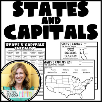
States and Capitals for Upper Graders
Travel the USA with your students and learn about the states, their capitals, and place on the map!This resource contains everything you need to print and go. The materials can be used for an entire year, as states and capitals are broken down by region.Included in this resource:Student state and capital checklist (two sizes)Student state and capital breakdown by region (two sizes)Practice test (with answer key)Blank map to build throughout the year (with answer key)Folder covers (two options)F
Grades:
4th - 7th
Types:
Also included in: State and Capital Studies for the Entire Year
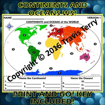
Worksheet: Continents and Oceans of the World
Do you know the continents and oceans of the world? Many of my students that are coming into 6th grade don't! Holy cow! So, I made up this review/quiz that I could give them throughout the year. I give this out during the unit in which I teach Plate Tectonics. Why? Because the majority of the MAJOR tectonic plates are named after the continents! Even after I point this out to students, they have trouble making the connection! It does help out most of the students, though. :-)There are THREE VERS
Subjects:
Grades:
5th - 9th
Types:
Mapping Skills - learn basic map skills and create your own map.
This is a beginning unit for mapping skills.
Students receive a 5 page handout that takes them through all the basic requirements of a map. Their skills are tested as they go along and there is a short quiz at the end.
When completed students are then required to create their own map of an island. They are given a list of requirements for their map and they must used their skills they have gained from the handout. A marking guide is contained in the assignment also.
Ready to print and use im
Subjects:
Grades:
4th - 7th
Types:
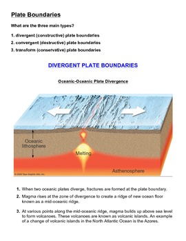
Tectonic Plate Boundaries - Activity and Worksheet
Tectonic Plate Boundaries - Activity and WorksheetIn this activity, students must use their knowledge and understanding of plate tectonics and identify and label each of the correct tectonic plate boundaries. After doing so, students are expected explain, in sentence form, what processes are occurring at each of the respective plate boundaries.An answer key is included.Additional activity:Tectonic Plate Boundaries - Summary Chart with Answer Key
Subjects:
Grades:
7th - 12th
Types:

The Fifty States Printables Unit
This is a Printable Unit for the Fifty States of the United States.
It includes the following printables:
Student Handouts (Abbreviations US Map, Labeled US Map, US Landforms Map, State Abbreviations Handout, State Capitals Handout, State Labeled Maps by Regions)
Student Worksheets (US Abbreviations, US State Capitals Match, Alphabetical Order States, US Map Fill In, Map Clues Fill In, Landform Fill In, State Word Search, 10 State Outline Match Up, State Crossword Puzzle) All these printable
Subjects:
Grades:
3rd - 9th
Types:
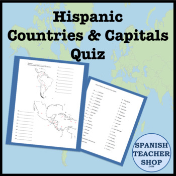
Latin America: Central and South America Country Capital Quiz
Quiz for teaching the capitals and countries of Central and South America. Students label the blank maps of Latin America. Then match the capital to the country. 37 questions. PDF file.
Subjects:
Grades:
5th - 12th
Types:
Also included in: Hispanic Heritage Month Bundle
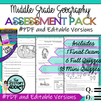
Middle Grade Geography Assessment Pack – Tests & Quizzes ★EDITABLE★
You will find everything you need to assess student understanding of Middle Grade Geography. I’ve included a ready to print PDF and a fully editable version in Google Slides. This unit was designed for grades 5-9. Please see the preview file for an idea of the format, types of questions, and question difficulty. As always, complete answer keys and sample answers are included. These materials were created to complement my Interactive Notebook for Middle Grade Geography and are a part of my Middle
Subjects:
Grades:
5th - 9th
Also included in: Middle Grade Geography Instructional Bundle
Showing 1-24 of 2,123 results


