3,088 results
7th grade geography handout pdfs
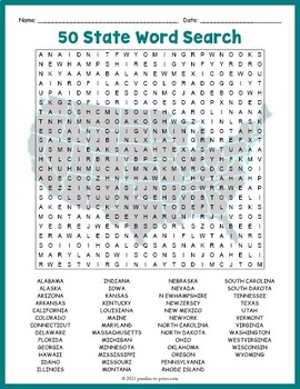
USA GEOGRAPHY Worksheet Activity - All 50 (Fifty) US States Word Search Puzzle
Review United States geography and have your students search for all 50 members of the Union with this challenging worksheet activity. Word search puzzles make great no prep activities for early finishers, bell ringers, morning work, handouts, homework, lesson plan supplements, sponge activities, introductions to new topics, and sub files.We consider this to be a challenging puzzle and it will require quite a bit of time to complete. Students will memorize the names of all fifty states withou
Subjects:
Grades:
4th - 7th
Types:
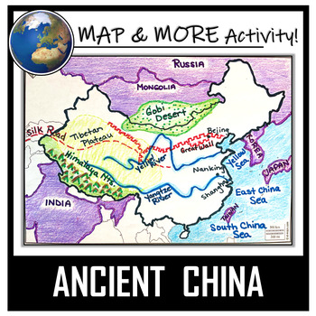
China Map Activity- Ancient China (Label and Color!)
This China Map Coloring & Labeling Activity is a great resource to enhance your unit! Each student will make their own, personalized map of the Chinese Empire, and learn about the geography and landmarks of the region. They will label and color their blank map, and answer follow-up questions related to the geography of China. A fun, 'Make a Travel Brochure' project has also been added. It's a great way of connecting your lesson on China to this map activity! In addition, this activity ha
Grades:
4th - 10th
Types:
CCSS:
Also included in: Ancient Civilizations / World Maps BUNDLE- Color & Label Activities!
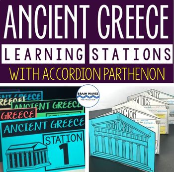
Ancient Greece Stations, Parthenon Accordion Book, Ancient Greece Activities
This resource contains six ancient Greece learning stations that students can rotate through in small groups. Each learning station (or center) is designed to give students engaging and exciting learning experiences to practice, enrich, review, and enhance their learning. Students will visit each station with a small group and complete ancient Greece activities. Here’s the fun part! During the learning stations, students will create an accordion book to showcase their learning. They’ll “build” f
Grades:
5th - 8th
Types:
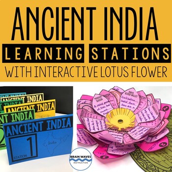
Ancient India Unit with Learning Stations and Interactive Project
This resource contains six ancient India learning stations that students can rotate through in small groups. Each learning station (or ancient history learning center) is designed to give students engaging and exciting learning experiences to practice, enrich, review, and enhance their learning. Students will visit each station with a small group and complete tasks and assignments. Check this out! Students will create a 3-D interactive lotus flower filled with their learning. They’ll add inform
Grades:
4th - 7th
Types:
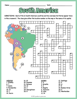
SOUTH AMERICA GEOGRAPHY Crossword Puzzle & Map Worksheet Activity
Help students review and learn the names, locations and capitals of the 12 South American countries and two overseas territories with this crossword worksheet. Each location's name appears twice in the puzzle. The clues give either the location's number as noted on the included map or the name of its capital. Crossword puzzles make great no prep activities for early finishers, bell ringers, morning work, handouts, homework, lesson plan supplements, sponge activities, introductions to new topi
Subjects:
Grades:
4th - 7th
Types:
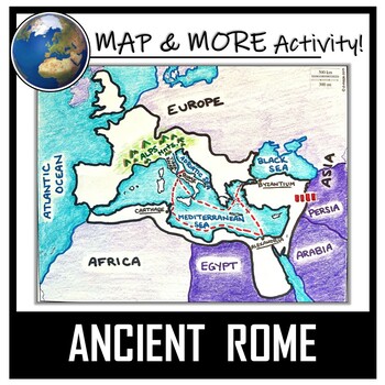
Ancient Rome Map Activity- Roman Empire (Label and Color!)
This Ancient Rome Map Coloring & Labeling Activity is a great resource to enhance your unit! Each student will make their own, personalized map of the Roman Empire, and learn about the geography and landmarks of the region. They will label and color their blank map, and answer follow-up questions related to the geography of Ancient Rome. A fun 'Make a Travel Brochure' project has also been added. It is a great way to connect this map activity to your lesson on Ancient Rome! A link to Goo
Grades:
4th - 11th
Types:
CCSS:
Also included in: Ancient Civilizations / World Maps BUNDLE- Color & Label Activities!
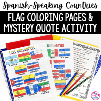
Spanish Speaking Countries Flags Worksheets Spanish Colors Coloring Pages
These coloring pages practice Spanish colors using flags of Spanish-speaking countries. Line versions of each flag have the color in Spanish for each section of the flag (rojo, blanco, azul, etc.) It also includes a mystery phrase activity in basic Spanish using clues about each flag. Ex. La bandera de Colombia es ___, azul, y roja. The answers help solve the secret phrase which is a quote about travel. The answer key for the mystery phrase page is included.These can be copied front and bac
Subjects:
Grades:
4th - 12th
Types:
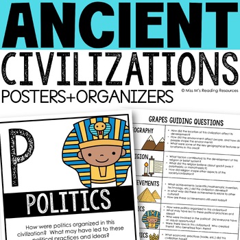
Ancient Civilizations GRAPES Posters Ancient Greece Ancient Rome Ancient China
Help your students learn and organize info about ancient civilizations with these G.R.A.P.E.S. posters, guiding questions, and graphic organizers! The GRAPES Ancient Civilizations Poster and Graphic Organizer Set is an easy acronym to organize information for the basic traits of ancient civilizations. G.R.A.P.E.S. is an acronym for:G- GeographyR- ReligionA- AchievementsP- PoliticsE- EconomicsS- Social StructureGRAPES is an effective way to learn and organize information about different civilizat
Grades:
6th - 8th
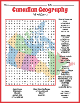
NO PREP CANADIAN GEOGRAPHY - Map of Canada Word Search Worksheet Activity
Reinforce knowledge and review geography while having fun doing a puzzle. This word search puzzle worksheet includes the names of 36 geographical features of Canada. The map that serves as a background to this puzzle adds to the interest. Puzzles make fun no prep activities for early finishers, bell ringers, morning work, handouts, homework, lesson plan supplements, sponge activities, introductions to new topics, classroom themes, and sub files.The categories of Canadian geographical features in
Grades:
4th - 7th
Types:
Also included in: US & WORLD GEOGRAPHY - Word Search Worksheet Mega Bundle
GEOGRAPHY OF AFRICA BUNDLE - 14 Word Search Puzzle Worksheet Activities
Cover many important features of African geography with this informative and entertaining worksheet package. Word search puzzles make great no prep activities for early finishers, bell ringers, morning work, handouts, homework, lesson plan supplements, sponge activities, introductions to new topics, and sub files. This bundle includes a large variety of subjects including biomes, countries, and many geographical features.The topics included are: All 54 African CountriesEgyptGeographical Feature
Grades:
4th - 7th
Types:
Kente Cloth Designs and Meanings
Recently I did an "Art Around the World" Unit and fell in love with Kente Cloth from Ghana. My 3rd graders made Kente Cloth and we used this handout to create their pieces! There are 20 designs featured here and each design's meaning is included as well. Each design and color is full of meaning and symbolism. By the end of the project your students will have Kente Cloth full of meaning. This handout is simple and easy to read. I know your students will love it!
EmilyGlassSC@gmail.com
Subjects:
Grades:
2nd - 7th
Types:
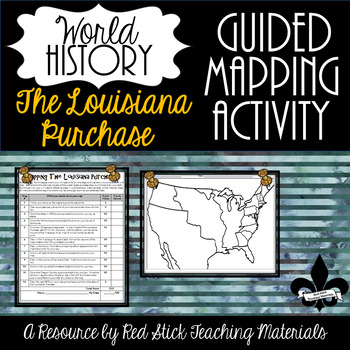
Mapping The Louisiana Purchase--No PREP!
This ready-to-use Mapping the Louisiana Purchase will give students a, 12-step guided mapping activity on the Louisiana Purchase. All students need to complete the assignment is n American History Textbook, Atlas, OR the internet. This is a great activity to leave with a substitute since it requires only a textbook, crayons, and no prep!Included is the 12-step Mapping the Louisiana Purchase handout and the time period-specific Map. The 12-step handout also serves as a grade sheet/checklist
Grades:
7th - 11th
Types:
Also included in: Guided Mapping Growing Bundle for Early American History--NO PREP!
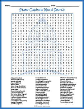
FIFTY (50) US STATE CAPITALS Word Search & Find Worksheet Activity
Challenge your sharp-eyed kids with this printable state capitals word search handout perfect for a fun homework assignment. This worksheet makes a great supplement to U.S. geography lessons and unit plans you may already have. Word search puzzles make great no prep activities for early finishers, bell ringers, morning work, handouts, homework, lesson plan supplements, sponge activities, introductions to new topics, and sub files.Students are given a list of the states along with the capital,
Grades:
4th - 7th
Types:
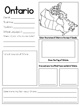
Provinces and Territories of Canada Research Project
Provinces and Territories of Canada Research ProjectUse these blank research templates on the provinces and territories of Canada to have your students participate in the inquiry process in learning about their Country! Also included is a reading that explains what a province and territory is, and the difference between both.The project has students researching:-Important information about each province and territory-Talk about the location of the province and territory-Research the official sym
Grades:
3rd - 8th
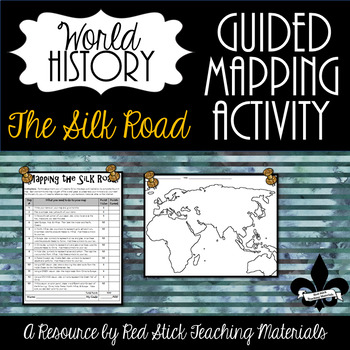
Mapping the Silk Road Activity--No PREP!
This ready-to-use Mapping The Silk Road Activity will give students a 10-step guided mapping activity. All students need to complete the assignment is a World History Textbook, Historical Atlas, OR the internet. This is a great activity to leave with a substitute since it requires only a textbook, crayons, and no prep!Included is the 10-step Mapping the Silk Road handout and a Map of Europe, Africa & Asia. The 10-step handout also serves as a grade sheet/checklist for easy grading and
Grades:
6th - 9th
Types:
Also included in: The Silk Road--Enrichment and Engagement Bundle
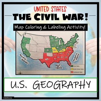
Civil War Map- Label and Color Activity!
This Civil War Map Activity is a great supplemental piece to a unit on the United States Civil War! Students will identify, label, and color the Union states, Border states, and Confederate states, and then color all three regions. Directions for labeling and coloring is provided. A completed and colored map is provided for reference, but this map can be completed using a textbook or online resource as well. This is a creative and engaging way of supplementing lessons on American History! The
Grades:
6th - 11th
Types:
CCSS:
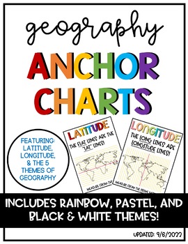
Latitude & Longitude + 5 Themes of Geography Anchor Charts
Latitude and Longitude are tricky concepts to teach! I print mini copies of these out for my students to place in their interactive notebooks and I have large copies hanging in my classroom as a reference guide. I have also included my 5 Themes of Teography reference charts as well.
Grades:
4th - 12th
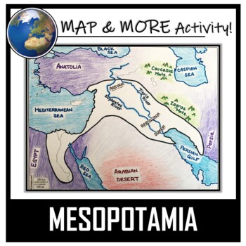
Mesopotamia Map Activity- Fertile Crescent (Assyria, Babylon, Sumer)
This Mesopotamia Coloring & Labeling Activity is a great resource to enhance your unit! Each student will make their own, personalized map of the Fertile Crescent of Mesopotamia, and learn about the geography and landmarks of the region! They will label and color their blank map, and answer follow-up questions related to the geography of Mesopotamia. A link to Google Compatible directions, questions, and a sample map has also been added.Included:- A Blank Map- Map Directions (with suggeste
Grades:
5th - 11th
Types:
CCSS:
Also included in: Ancient Civilizations / World Maps BUNDLE- Color & Label Activities!
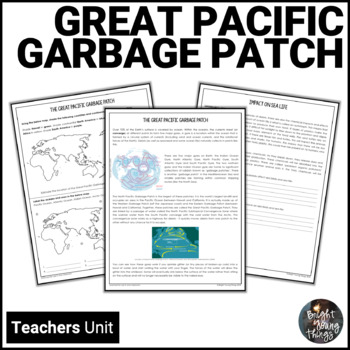
Great Pacific Garbage Patch | Ocean Pollution | Earth Day unit
Are you looking for interesting and unusual ways to learn about human impacts on the environment? Planning for Earth Day, Clean Up Australia Day, Oceans Week, World Environment Day or World Water Day. If your students don't quite understand the importance of recycling, the Great Pacific Garbage Patch will alert them to the real impacts that just one plastic bottle can have.While many people are unaware of the Great Pacific Garbage Patch, it is a major issue affecting global environmental health
Subjects:
Grades:
5th - 8th
Types:
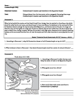
Byzantine Empire - Constantinople Mini DBQ
Resource includes four primary and secondary sources about the role of Constantinople in the Byzantine Empire. The emphasis is on how Constantinople's location made a strategic military and economic asset to the Byzantine Empire. Include a page for brainstorming, outlining, and sentence starters for writing. This resource was originally taught to a 9th grade world history course, and is great for students who are just starting to write DBQs.
Subjects:
Grades:
7th - 10th
Types:
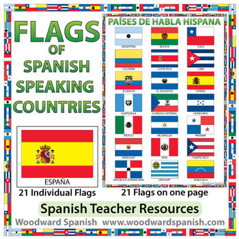
Flags of Spanish-speaking Countries
Flags of the 21 Spanish-speaking countries.
These flags are perfect for decorating the Spanish classroom. You may also want to laminate the flags and use them as large flashcards.
There are 21 individual flags of the following Spanish-speaking countries: Argentina, Bolivia, Chile, Colombia, Costa Rica, Cuba, Ecuador, El Salvador, España, Guatemala, Guinea Ecuatorial, Honduras, México, Nicaragua, Panamá, Paraguay, Perú, Puerto Rico, República Dominicana, Uruguay, Venezuela.
Each flag is on its
Subjects:
Grades:
1st - 12th, Adult Education
Also included in: Spanish Bundle – Spanish-speaking Countries and Capitals
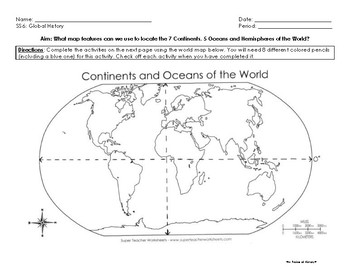
Map Skills Activity: Continents, Oceans and Hemispheres
Students will complete specific map activities designed to introduce them to (or reinforce) the following topics:
- the 7 continents
- 5 oceans
- relative location
- compass rose and cardinal directions
- map scale
- Hemispheres
- Prime Meridian and Equator
Students will need 8 colored pencils for this activity and a post-it note provided by the teacher.
Students will work independently or with a partner to locate or identify specific map features (such as compass rose and map scale
Subjects:
Grades:
6th - 9th
Types:
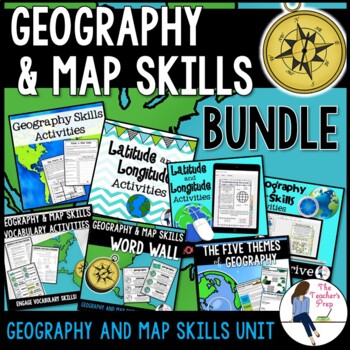
Geography and Map Skills Unit Bundle
Create a highly-engaging unit by using the activities included in this bundle to excite your students as they learn about the basics of geography, latitude and longitude, map skills and the five themes of geography in your classroom! Your students will read informational text, go on a virtual field trip around the globe, complete a video quest, fill in graphic organizers, play vocabulary games and much more all while having access to print and digital versions of activities. To save you even mor
Grades:
3rd - 8th
Types:
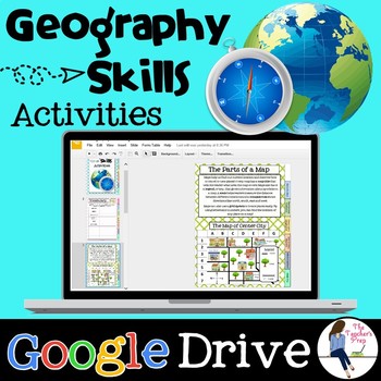
Geography and Map Skills Digital Activities for Google Drive
By using these Geography Skills Digital Activities, your students will learn the basic tools of geography and map skills including cardinal directions, map grids, measuring map scales, the parts of a map, and more!It's a great option for classrooms utilizing technology or off-campus e-learning.Included in this resource:Informational Text and Interactive Student Activities:1. Key Terms and Definitions (students fill in the terms as they read and practice the skills)2. The Parts of a Map3. The Car
Subjects:
Grades:
4th - 7th
Types:
Also included in: Geography and Map Skills Unit Bundle
Showing 1-24 of 3,088 results


