815 results
7th grade geography poster pdfs
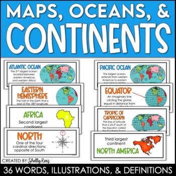
Continents and Oceans Maps and Posters | Geography and Maps Word Wall
Continents and Oceans and Map Skills can be fun to teach, especially when you have this great set of word wall cards. Each card includes the word, definition, and a clear, colorful illustration. Make a great bulletin board in just minutes!Click HERE to save 20% with the Continents, Oceans, and Map Skills BUNDLE!Please click on the PREVIEW above to get a clear picture of everything included.PERFECT for visually reinforcing landform vocabulary!This helpful continents, oceans, and maps word wall se
Grades:
2nd - 8th
Also included in: Maps, Continents and Oceans, Landforms, and Map Skills Bundle
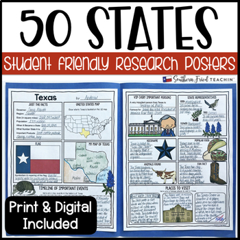
State (United States) Research Project Posters - Printable & Digital
States Research Project Posters are a fun and simple way for your students to research the states. These project posters are student friendly and help guide your students in what exactly to research. These posters are perfect for students to display their state research! And they look fabulous on a bulletin board or hallway display!This is part of my HUGE GROWING BUNDLE OF RESEARCH PROJECT POSTERS. This is includes ALL of my research project posters. Your students could become research experts a
Grades:
3rd - 8th
Types:
Also included in: GROWING BUNDLE Research Project Posters
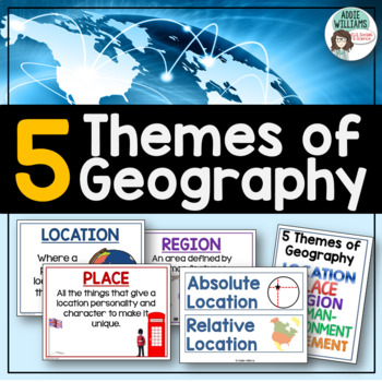
Five Themes of Geography Posters and Word Wall
Five Themes of Geography Poster and Word Wall Set - includes 16 posters and 16 word wall strips! One poster and word wall strip for each of the five themes and their sub-topics! Great way to help students remember and learn to apply the Five Themes!Location - Absolute and RelativePlace - Human and PhysicalRegion - Formal, Functional, and VernacularHuman Environment Interaction - Adapt, Depend, and InteractMovement Also, check out FREE Five Themes of Geography ProjectAddie Williams
Subjects:
Grades:
6th - 10th
Types:
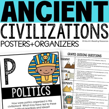
Ancient Civilizations GRAPES Posters Ancient Greece Ancient Rome Ancient China
Help your students learn and organize info about ancient civilizations with these G.R.A.P.E.S. posters, guiding questions, and graphic organizers! The GRAPES Ancient Civilizations Poster and Graphic Organizer Set is an easy acronym to organize information for the basic traits of ancient civilizations. G.R.A.P.E.S. is an acronym for:G- GeographyR- ReligionA- AchievementsP- PoliticsE- EconomicsS- Social StructureGRAPES is an effective way to learn and organize information about different civilizat
Grades:
6th - 8th
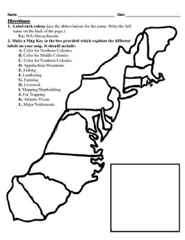
13 Colonies Map Project (8.5x11)
This project has three different differentiated levels for different levels of students, or to have them work up to... This project is set-up to print on 8.5x11 sheets of paper. In the first tier (the easiest), the students are given a map of the thirteen colonies and have to label each colony and then color the Northern/North Eastern Colonies, the Middle Colonies and the Southern Colonies different colors in a map key they create. In the second tier (medium difficulty), the students have to la
Subjects:
Grades:
3rd - 12th
Types:
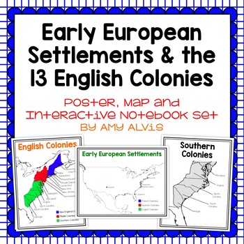
Early European Settlements & 13 English Colonies Poster and INB
This poster, map and interactive notebook INB set covers covers the early American settlements of Santa Fe, St. Augustine, Roanoke Island, Jamestown, Plymouth and Quebec as well as the original 13 colonies.You will get the following:pg. 3: Poster of Early European Settlements (Santa Fe, St. Augustine, Roanoke Island, Jamestown, Plymouth, and Quebec)pg. 4: Map of Early European Settlements where students can map where each settlement was.pg. 5-12: Posters of 13 Coloniespg. 13: Map page for stud
Grades:
5th - 9th
Latitude & Longitude + 5 Themes of Geography Anchor Charts
Latitude and Longitude are tricky concepts to teach! I print mini copies of these out for my students to place in their interactive notebooks and I have large copies hanging in my classroom as a reference guide. I have also included my 5 Themes of Teography reference charts as well.
Grades:
4th - 12th
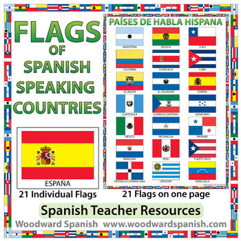
Flags of Spanish-speaking Countries
Flags of the 21 Spanish-speaking countries.
These flags are perfect for decorating the Spanish classroom. You may also want to laminate the flags and use them as large flashcards.
There are 21 individual flags of the following Spanish-speaking countries: Argentina, Bolivia, Chile, Colombia, Costa Rica, Cuba, Ecuador, El Salvador, España, Guatemala, Guinea Ecuatorial, Honduras, México, Nicaragua, Panamá, Paraguay, Perú, Puerto Rico, República Dominicana, Uruguay, Venezuela.
Each flag is on its
Subjects:
Grades:
1st - 12th, Adult Education
Also included in: Spanish Bundle – Spanish-speaking Countries and Capitals
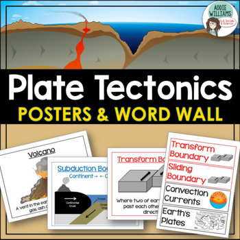
Plate Tectonics Posters - Volcanoes, Plate Boundaries, & Earthquake Faults
Plate Tectonics, Volcanoes, Earthquakes, and More! 24 posters and 30 word-wall strips to use in a plate tectonics unit to help your students learn and review the main concepts.Includes:- Types of volcanoes (Composite/stratovolcano, shield, cinder cone)- Plate Boundaries (Divergent, convergent... posters for each type)- Earthquakes & Faults (Normal, reverse, strike-slip/transform, focus, epicenter)Posters can be printed in black/white or in color! They look great laminated and posted on the w
Subjects:
Grades:
7th - 10th
Types:
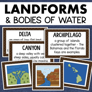
Landforms and Bodies of Water Posters Geography Skills Vocabulary Worksheet
Give your landforms and bodies of water unit a visual boost with this set of illustrated examples! Students will get to SEE what each landform or water body looks like and better understand their features.WHAT YOU WILL GETThis resource contains 24 visuals plus a digital assessment. Each page includes an illustration of the landform or body of water along with the title and definition. Includes:archipelagobaybeachbuttecanalcanyoncavecliffdeltaduneglacierhillislandisthmuslakemesamountainoceanpenin
Grades:
4th - 7th
Also included in: Geography Landforms & Bodies of Water Types of Maps Map Elements Posters
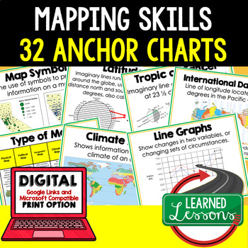
Mapping Skills Anchor Charts (World Geography Anchor Charts), Posters, Google
Mapping Skills Anchor Charts (Great as Bellringers, Word Walls, and Concept Boards), Mapping Skills Posters, Geography Review Pages, Digital Activity via Google Classroom This bundle will take your through the entire Geography curriculum. It will include all components of Geography. This is perfect for traveling around the world in style. THIS IS ALSO PART OF World Geography MEGA BUNDLE, Mapping Skills BUNDLE, Geography ANCHOR CHART BUNDLE Anchor charts are great for representing the topics
Grades:
6th - 12th
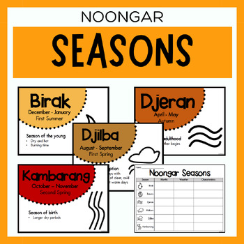
Noongar Australian Aboriginal Seasons Calendar & Worksheet - Nyoongar
✏️ Celebrate the rich cultural heritage of the Noongar Indigenous Aboriginal Australians with our Seasons Calendar & Worksheet! This comprehensive resource includes 7 display posters (with an alternate spelling of Nyoongar) and a worksheet to help students learn about the traditional Noongar seasons. With a link to the Indigenous Weather Map, this resource is an excellent tool to support teaching and learning about Indigenous culture and weather patterns. What's Included?7 Display Posters (+
Subjects:
Grades:
PreK - 12th
Also included in: Noongar Vocabulary Bundle | Aboriginal Language Resource
Early American History Anchor Charts Mega Bundle!
This is a mega bundle of anchor charts that will cover Early American History: Colonialism through Reconstruction, but they can be used by any American History teacher. This bundle currently contains 244 Anchor Charts. This is less than $.25 an anchor chart!Additionally, I am adding Black and White/Grey copies of many of the anchor charts. These are not new charts, but ones that will copy easy and cleanly for student handouts. This is a bonus file for bundle purchasesIf you are not intereste
Grades:
4th - 11th
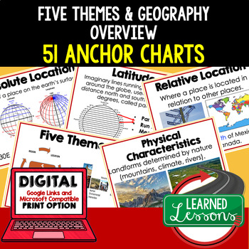
Five Themes of Geography Anchor Charts (World Geography Anchor Charts), Posters
Five Themes and Geography Anchor Charts (Great as Bellringers, Word Walls, and Concept Boards), Five Themes Posters, Geography Review Pages, Google Classroom, Print & Digital Distance Learning This bundle will take your through the entire Geography curriculum. It will include all components of Geography. This is perfect for traveling around the world in style. THIS IS ALSO PART OF World Geography MEGA BUNDLE, Five Themes BUNDLE, Geography ANCHOR CHART BUNDLE Anchor charts are great for
Grades:
6th - 12th
Types:
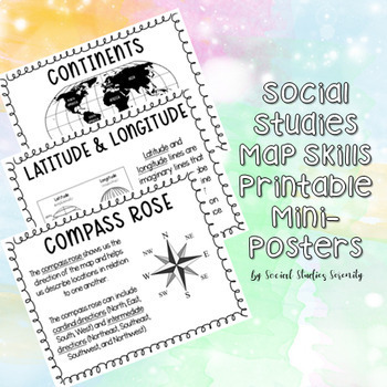
Social Studies Map Skills Posters Printable Bulletin Board Display
These posters (can print on regular 8.5"x11" paper) are great for a social studies bulletin board. These cute mini posters include important map skills such as countries vs. continents, latitude and longitude, map key, map scale, compass rose, and more! Print the mini posters on colorful paper, laminate, add a world map, and you will have a beautiful and informative social studies bulletin board!
Grades:
PreK - 9th
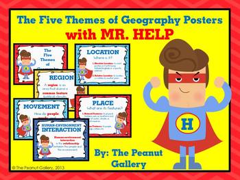
The Five Themes of Geography Posters (with MR. HELP)
{Key Words: Geography; Themes of Geography; Five Themes of Geography; Movement; Region; Human Environment Interaction; Location; Place}Sometimes all it takes is something comical, silly, or colorful for students to remember a concept. These posters for the five themes of geography reinforce concepts to students on posters with colorful, fun graphics that will grab their attention.The set uses the mnemonic device MR. HELP and includes a heading poster and poster for each theme with a very brief d
Grades:
3rd - 7th
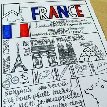
France Graphic Organizer & Coloring Pages - France Country Fact Sheet
Studying France? Don't miss this France graphic organizer and paired coloring pages, which will help your students learn the basics in a creative and engaging way. Perfect for interactive notebooks, bulletin boards, or as a standalone resource, this France country fact sheet provides an interactive and educational experience for your French country study!✔ Check out the preview for a closer look!From learning basic information to coloring icons that showcase the essence of France, this resource
Subjects:
Grades:
2nd - 8th
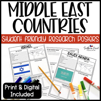
Middle East Country Research Project Posters - Printable & Digital
Middle East Country Research Project Posters are a fun and simple way for your students to research countries in the Middle East. These project posters are student friendly and help guide your students in what exactly to research. These posters are perfect for students to display their research! And they look fabulous on a bulletin board or hallway display!This is part of my Country Research Project Posters Version 2 BUNDLE. There are seven sets included with over 200 countries from all over the
Subjects:
Grades:
3rd - 10th
Types:
Also included in: GROWING BUNDLE Research Project Posters
Ancient Civilizations: Greece, Rome and the Empire of Mali Pack
Not only is this pack full of ready made assessments and teaching tools, it also includes a Unit Plan with links to PowerPoints that will help you teach about the Ancient Civilizations of Greece, Rome and the Empire of Mali!! (not included in the preview)
This pack, that I created based on the VA 3rd grade SOLs, includes the following items:
-Ancient Greece Info Poster
-Ancient Greece Info (half page posters for notebooks- 2 per page)
-Ancient Rome Info Poster
-Ancient Rome Info (half page post
Subjects:
Grades:
3rd - 10th
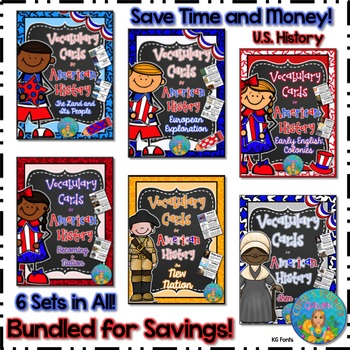
Bundled for Savings Illustrated American History Vocabulary Cards
All 6 sets of my illustrated vocabulary cards are included in this huge bundle! These illustrated vocabulary cards with definitions are designed for upper elementary social studies. However, they may be used with any curriculum that would benefit from visual representations and explanations of key terms related to United States early history or geography. All the cards shown on the thumbnails are included.
197 vocabulary words (with illustrations and definitions) in this set include:
(Unit #
Subjects:
Grades:
3rd - 8th
Types:
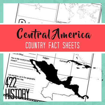
Mexico the Caribbean Central America Country Fact Sheets
Are you looking to quickly introduce the countries of Mexico, the Caribbean, and Central America to your class? This fact sheet set will allow your students to do research on the basic facts of a country of choice in this region. You can then use each page as poster in your classroom or as the foundation for an oral report or research paper. Students will be able to locate online, in their textbook, or through listening skills information about this region’s government, capital, language, religi
Grades:
6th - 9th
Types:
Also included in: Country Fact Sheets Bundle

Map Features Types of Maps Map Skills Geography Vocabulary Posters
45 posters in color and black and white versions! Learning about map features, types of maps, and maps skills is easy with this printable poster bundle! This poster bundle contains a wealth of map and geography vocabulary posters that serve as visual references to your students. These charts make for beautiful social studies classroom décor and can be arranged in a word wall, be used as anchor charts, or form the basis for other activities!Each poser contains a key map vocabulary term, a represe
Grades:
5th - 9th
Also included in: World Geography Posters Classroom Decor Social Studies Value Bundle
Geography: Who's The Boss? Comparing World Government Types (Easel Activity)
Students will have a blast with this assignment! As students put their thoughts together to decide which world government types and systems — democracy, direct democracy absolute monarchy, consituational monarchy, oligarchy, etc — work best in various scenarios, they will become familiar with how government systems work. Encourage your students to think outside the box to problem solve and to do their best! Acquiring higher-level thinking skills is a process and a skill that has to be developed
Grades:
6th - 10th
Also included in: NEW! Geography: Types of World Governments Bundle + FREE RESOURCE
Mini Classroom Decor Pack: Travel Theme
This travel themed mini classroom decor pack includes:
-student tags {can be used for cubbies, door, bulletin boards, etc.}
-a banner that says "Destination: success"
-a where we are sign to post outside the classroom
I also sell this product in Spanish: here is a link to the Spanish version!
Please email me at linsayhumphrey@yahoo.com with questions or suggestions. Thanks :)
Grades:
PreK - 12th
Types:
Showing 1-24 of 815 results


