482 results
7th grade geography flash card pdfs
Early American History Anchor Charts Mega Bundle!
This is a mega bundle of anchor charts that will cover Early American History: Colonialism through Reconstruction, but they can be used by any American History teacher. This bundle currently contains 244 Anchor Charts. This is less than $.25 an anchor chart!Additionally, I am adding Black and White/Grey copies of many of the anchor charts. These are not new charts, but ones that will copy easy and cleanly for student handouts. This is a bonus file for bundle purchasesIf you are not intereste
Grades:
4th - 11th
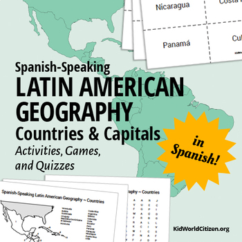
Latin American Countries and Capitals: Geography Activities and Games in Spanish
Latin American Geography for Kids IN SPANISH! Use these games, activities, and quizzes to teach your students the Spanish-speaking Latin American countries and capitals. I always use these at the beginning of the year with all levels of Spanish classes! It is so important for kids to be familiar with the countries were the Spanish language is spoken.
1) Label the map with Spanish-speaking Latin American countries. (with a word bank of countries in Spanish with accents, etc)
2) Label the map w
Subjects:
Grades:
6th - 12th, Adult Education
Types:
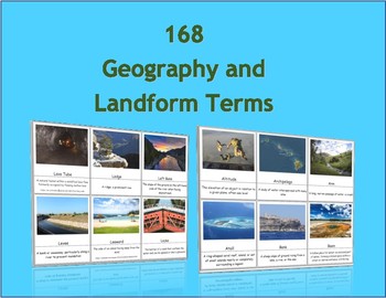
168 Geography and Landform Terms Flash Cards / 3 Part Montessori Cards
These cards align with most state standards and Classical Conversations Challenge A program. Additionally, these cards include terms specifically related to Hawaii's geography features such as windward, lava tube, etc. (Please see list below for a full list of terms.)The cards contained in this packet can be used as traditional flashcards or 3 Part Cards. The 3-Part Cards are Montessori inspired. Rote memorization can be difficult for children with dyslexia. The purpose of these cards is to as
Subjects:
Grades:
3rd - 12th
Also included in: Geography Terms Classical Conversations Aligned Bundle
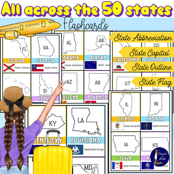
All Across the 50 States Flashcards with Capitals and Abbreviations
All Across the 50 States Flashcards with Capitals and AbbreviationsFun and informative flashcards for ALL 50 states. Each flashcard includes:Name of the stateOutline of stateState abbreviationState capitalState flagStudents will feel their practice more engaging and fun with these flashcards as they try to memorize and review state capitals, abbreviations, and flags.With the use of the index finger students can cover the name of each state capital as they quiz their peers on each state capital.A
Grades:
2nd - 11th
Types:
American Geography - The 50 United States of America Boom Cards Virtual Learning
Let students investigate American Geography and the 50 states with great clues for critical thinking with this task card Boom Cards set! Task Cards are multiple choice and self-correcting, allowing students to continue until getting the correct answer! Trivia questions address significant facts or location features to help students choose the correct answer. Resource Includes50 Boom CardsEach card has 4 multiple choice optionsSelf-correcting & grading**********************************Reason
Grades:
3rd - 8th
Types:
Also included in: American Geography Boom Card Bundle States Capitals Landmarks More!
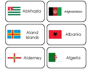
245 World Flags Printable Preschool-Elementary Geography Flashcards.
One set of our Specialty Flash Cards in a single PDF file.Here is what you get!245 World Flags Flashcards. Prints 245 flashcards and 1 title card. Prints 41 pages.Learn and teach about some of the different types of world flags with these new Flashcards.Each card measures 4.25 inches by 2.25 inches after printed and cut out.Please see our other items in our store. We offer full sets of curriculum for preschool aged children.
Subjects:
Grades:
PreK - 8th
Map and Globe Word Wall Vocabulary Cards - geography FREEBIE!
There are 50 map and globe word wall vocabulary cards included in this freebie pack. Words included:atlas, cartographer, compass rose, north, south, east, west, northeast, northwest, southeast, southwest, cardinal, intermediate, globe, northern hemisphere, southern hemisphere, eastern hemispere, western hemisphere, longitude, latitude, grid, coordinates, equator, prime meridian, axis, 0 degrees, scale, key, legend, symbols, North Pole, and South Pole and more. I also included 12 types of maps,
Grades:
2nd - 12th
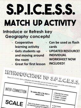
Introduction to Geography Activity - SPICESS Match Up
UPDATED!!! New Individual Worksheets included!! Print, distribute, and have students sort terms, definitions, and examples in their workbook! Great Substitute activity! This is such a fun activity for the first few lessons of your Geography class. It could be used to introduce the Geography concepts of Space, Place, Interconnection, Environment, Scale, and Sustainability OR as a refresher of these concepts. This activity has each student provided with a card at random, each card shows either the
Subjects:
Grades:
5th - 12th
Types:
Also included in: Geography Key Concepts - Match Up Tasks! SPICESS BOLTSS SHEEPT
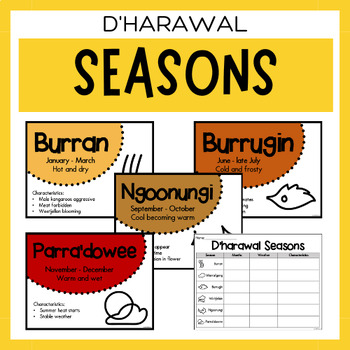
Australian Aboriginal Seasons Calendar & Worksheet - D'harawal
✏️ Celebrate the rich cultural heritage of the D'harawal Indigenous Aboriginal Australians with our Seasons Calendar & Worksheet! This comprehensive resource includes 7 display posters and a worksheet to help students learn about the traditional D'harawal seasons. With a link to the Indigenous Weather Map, this resource is an excellent tool to support teaching and learning about Indigenous culture and weather patterns.What's Included?7 Display PostersWorksheetThe information provided in this
Subjects:
Grades:
PreK - 12th
Types:
Also included in: Dharawal Vocabulary Bundle | Aboriginal Language Resource
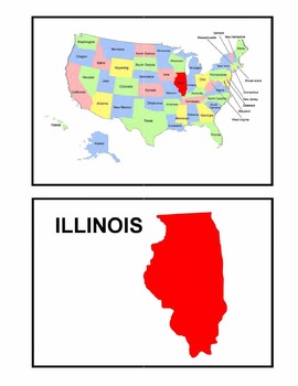
Identifying the 50 States - Visual-Spatial, Size, and Shape Practice
This is a great PDF for Visual-Spatial, Size, and Shape Practice and Refinement of the 50 states. It provides each state individually on a map of the United States, as well as the shape and name of each state. This is perfect for overheads and a great PDF to download to your iBooks to review and identify the geography of the United States.
Subjects:
Grades:
PreK - 12th, Higher Education, Adult Education
Types:
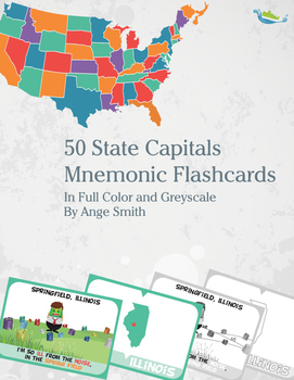
50 State Capitals Mnemonic Flashcards
Students can quickly master the capitals of all 50 states through visual mnemonic flashcards. The pack includes all 50 states, color-coded by region with a front and back card in both color and grey scale. Also includes blank cards in six different colors for students to create their own card.
Subjects:
Grades:
2nd - 8th
Types:
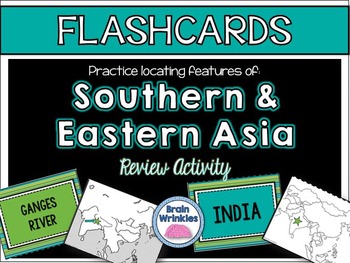
Southern and Eastern Asia's Geography FLASHCARDS
These flashcards are a fun, interactive way for students to review important political and physical features of Southern and Eastern Asia’s geography (as outlined by the Georgia Performance Standard SS7G9). You just need to print and cut out the flash cards, and then tape the cards together. It’s also a good idea to laminate the cards and put them in plastic baggies—you can use them for years to come! Students love working with them, and they are a great way to learn the locations of countries a
Grades:
7th
Types:
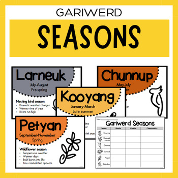
Gariwerd Seasons Australian Aboriginal Weather Calendar & Worksheet
✏️ Celebrate the rich cultural heritage of the Gariwerd Indigenous Aboriginal Australians with our Seasons Calendar & Worksheet! This comprehensive resource includes 7 display posters and a worksheet to help students learn about the traditional Gariwerd seasons. With a link to the Indigenous Weather Map, this resource is an excellent tool to support teaching and learning about Indigenous culture and weather patterns.What's Included?7 Display PostersWorksheetThe information provided in this r
Subjects:
Grades:
PreK - 12th
Types:
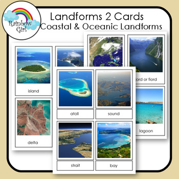
Landforms 2 Cards - Coastal & Oceanic Landforms
There are 20 Coastal & Oceanic Landform cards in this set. They include - island, peninsula, delta, beach, cove, cape, archipelago, isthmus, atoll, sound, strait, bay, gulf, fjord/fiord, estuary, lagoon, tidal pool, coral reef, sea cliff, sea cave.Be sure to check my other landform cards: Landforms 1Landforms 3 - Volcanic Landforms1. Print and use as flash cards / control cards.2. Print out cards and cut the word from the picture and use for matching word to picture.3. Print two sets and u
Subjects:
Grades:
K - 10th
Also included in: Landforms Bundle
North American Birds - North East US Backyard Birds
North American Birds - Backyard Birds of the NortheastThis set, featuring the northeastern United States, has multiple parts:1) Watchlist for the Region2) Birds sorted into the bird families (2 pgs)3) Bird Coloring Pages (2 pgs)4) KWL Chart5) State Bird Pages for each of the states in the northeast (9 pgs)6) Bird Watching Pages - watchlist for checking off birds seen, 2 bird watching journal entry pages7) Fly Away - A 'Go Fish' kind of game featuring the state birds and a couple extras. Each pag
Subjects:
Grades:
3rd - 9th
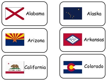
The Flags of the 50 States of the United States of America. States Flash Cards.
One set of our Specialty Flashcards in a single PDF file.Here is what you get!50 Flags of the United States of America Flashcards. Prints 50 flashcards and 1 title card. Prints 9 pages. 6 cards per page.Each card measures 4.25 inches by 2.25 inches after printed and cut out.These materials were designed by Annette Sutherland, owner of Teach At Daycare, Handcrafted Curriculum for all ages.
Grades:
PreK - 12th
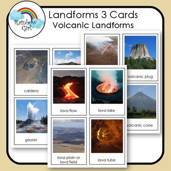
Volcanoes & Volcanic Landforms
There are 16 Volcanic Landform in this set. They include - caldera, crater lake, geyser, lava dome, lava flow, lava lake, lava plain/lava field, lava tube, fissure vent, volcanic plug, volcanic crater, volcanic cone, stratovolcano/composite volcano, shield, volcano, cinder cone volcano, volcano.Be sure to check my other landform cards: Landforms 1Landforms 2 - Coastal & Oceanic Landforms1. Print and use as flash cards / control cards.2. Print out cards and cut the word from the picture and u
Subjects:
Grades:
1st - 10th
Also included in: Landforms Bundle
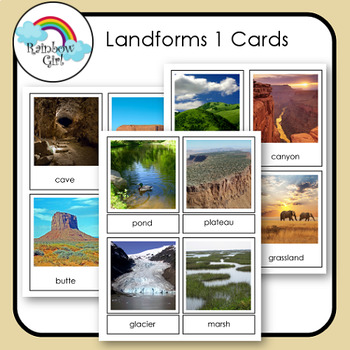
Landforms 1 Cards
There are 24 landform cards in this set. They include - desert, mountain, valley, plain, hills, canyon, forest, grassland, cave, mesa, butte, cliff, dune, oasis, river, lake, pond, plateau, glacier, marsh, swamp, creek/stream, waterfall, rapids.Be sure to check my other landform cards: Landforms 2 - Coastal & Oceanic LandformsLandforms 3 - Volcanic Landforms1. Print and use as flash cards / control cards.2. Print out cards and cut the word from the picture and use for matching word to pictu
Subjects:
Grades:
K - 10th
Also included in: Landforms Bundle
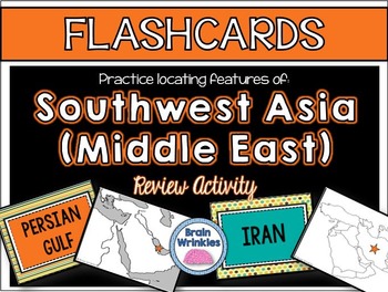
Southwest Asia's Geography FLASHCARDS
These flashcards are a fun, interactive way for students to review important political and physical features of Southwest Asia’s geography (as outlined by the Georgia Performance Standard SS7G5). You just need to print and cut out the flash cards, and then tape the cards together. It’s also a good idea to laminate the cards and put them in plastic baggies—you can use them for years to come! Students love working with them, and they are a great way to learn the locations of countries and physical
Grades:
7th
Types:
GENTILICIOS DE COMUNIDADES Y PROVINCIAS
Para trabajar los gentilicios he elaborado estas tarjetas para agruparlos y unir cada provincia/comunidad con su gentilicio correspondiente. Es una forma lúdica y divertida de aprenderse estos gentilicios, que muchas veces no se parecen al nombre de la provincia o de la comunidad a la que pertenecen. El material está formado por 25 hojas con los gentilicios de todas las provincias y las Comunidades Autónomas, así como las dos Ciudades Autónomas. Archivo PDF no editable.
Subjects:
Grades:
2nd - 10th, Higher Education, Adult Education
Types:
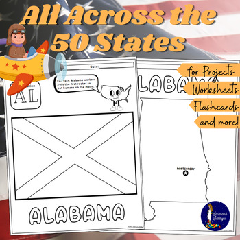
All Across The 50 States Worksheets & Flash Cards
All Across The 50 States Worksheets & Flash CardsThis huge resource includes material for those who are beginning to learn about the beautiful 50 states of America. These worksheets are great to do individually, as a classroom, and/or for those working on projects.The states are in alphabetical order for easy look up.All 50 states have these 3 worksheets pertaining to them.First page: You will see the outline of the state and it's name.Second page: The abbreviation of the state is shown alon
Grades:
2nd - 11th
Types:
Also included in: Learning and Memorizing the United States of America
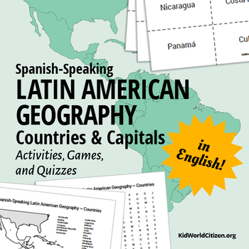
Latin American Countries and Capitals: Geography Activities and Games in English
Latin American Geography for Kids IN ENGLISH! Use these games, activities, and quizzes to teach your students the Spanish-speaking Latin American countries and capitals. I always use these at the beginning of the year with all levels of Spanish classes- but they are also great activities for World History, Geography, Social Studies, and ESL classes! It is so important for kids to be familiar with the countries were the Spanish language is spoken.
1) Label the map with Spanish-speaking Latin Ame
Grades:
6th - 12th, Adult Education
Types:
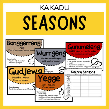
Kakadu Seasons | Australian Aboriginal Seasons Calendar & Worksheet
✏️ Celebrate the rich cultural heritage of the Kakadu Indigenous Aboriginal Australians with our Seasons Calendar & Worksheet! This comprehensive resource includes 7 display posters and a worksheet to help students learn about the traditional Kakadu seasons. With a link to the Indigenous Weather Map, this resource is an excellent tool to support teaching and learning about Indigenous culture and weather patterns.What's Included?7 Display PostersWorksheetThe information provided in this resou
Subjects:
Grades:
PreK - 12th
Types:
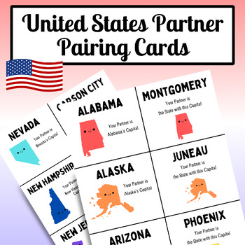
State Capital Partner Pairing Card, United States, Fifty States, Matching Cards
United States Partner Pairing Cards, created so students can meet and work alongside everyone in the classroom and not just the same partner, all while learning their state capitals! The cards are designed where one student has the state and its name, while their partner has the capital, allowing both partners to practice learning them!1 PDF document included, consisting of 17 pages of U.S. Pairing Cards, perfect to be printed out and used in your classroom! There are 25 different pairs, totalin
Subjects:
Grades:
PreK - 8th
Showing 1-24 of 482 results


