330 results
7th grade geography study guide pdfs
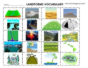
Landforms Cut & Paste Definitions, flash cards, 20 words, centers
Landforms Landforms Landforms!Included in this product are 4 different ways to help kids comprehend and visualize different landforms. 20 landforms are included: Mountain, Hill, Pond, River, Cave, Island, Valley, Lake, Canyon, Beach, Waterfall, Glacier, Plain, Volcano, Meander, Floodplain, Delta, ArchipelagoThis is a great activity to help students visualize the landforms! There are many ways of using this product. • 1st set: (horizontal: 1-3) Give students’ definitions pages and the picture pa
Subjects:
Grades:
3rd - 7th
Types:
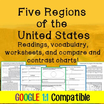
Five Regions of the United States Lesson Plan: Reading, Worksheets, Graphic Org!
Updated as of 5/26/2020 to be google friendlyTrying to find ways to help students understand the five regions of the United States? This lesson plan is an effective way to give the students the information they need in a manner that will get them critically thinking about what they learned. The students will have a detailed reading on each region of the United States with a reading guide worksheet to help them synthesize what they are reading. Students will then be able to compare and contras
Grades:
5th - 8th
Types:
CCSS:
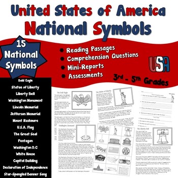
National Symbols of United States Nonfiction Passages
National Symbols of United States Nonfiction Passages includes 15 symbols. These symbols include:Bald EagleStatue of Liberty Liberty BellWashington MonumentLincoln MemorialJefferson MemorialMount RushmoreFlag of the United StatesThe Great SealThe PentagonWashington D.C. The White House The Capitol Building Declaration of Independence Star Spangled Banner Each of the 15 symbols comes with a non-fiction reading passage and a comprehension sheet to answer 10 questions and identify vocabulary. The
Grades:
3rd - 8th
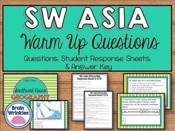
Daily Social Studies Warm-Ups -- Southwest Asia
This file is the perfect way to begin your Social Studies class every day. The students come in, open up their notebooks to the Student Response sheets, and answer the daily warm-up question(s). This file is also excellent for reviewing for final exams and the BIG state test at the end of the year!The warm-up questions are aligned to the Georgia Standards of Excellence for seventh grade social studies (SS7H2, SS7G5, SS7G6, SS7G7, SS7G8, SS7CG3, SS7E4, SS7E5, and SS7E6). There are questions for t
Grades:
7th
Types:
Also included in: Daily Social Studies Warm-Ups BUNDLE -- Africa, Southwest Asia, and Asia
Daily Social Studies Warm-Ups (or Study Guide) -- Southern and Eastern Asia
This 92-page file is the perfect way to begin your Social Studies class every day. The students come in, open up their Interactive Notebooks, and answer the daily question(s). I also use this file to review for final exams and the BIG state test at the end of the year.
*This was file was designed with the Georgia Performance Standards for 7th grade social studies in mind. There are 80 questions (in total) for the following strands: Geographic Understandings of Southern and Eastern Asia, Histor
Grades:
7th
Types:
Also included in: Daily Social Studies Warm-Ups BUNDLE -- Africa, Southwest Asia, and Asia
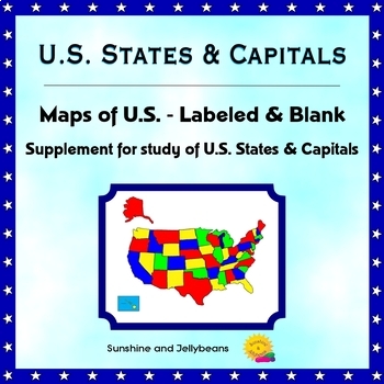
U.S. States & Capitals - Labeled & Blank Maps for Study and Practice - Geography
This set of maps is a perfect supplement to any study of the U.S. states and capitals.The set includes:Color map of the U.S. with states labeledBlack-and-white map with all states and capitals labeledBlack-and-white map with no labels, for student practice.The black-and-white maps can be easily photocopied for classroom use.This set is designed to work with the worksheets, flash cards and activities in my U.S. States & Capitals Bundle: U.S. States & Capitals BundleProducts included in t
Grades:
4th - 7th
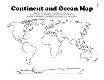
Continent and Ocean Map Worksheet Blank
Continent and Ocean Map worksheet can be used as a worksheet as well as a pretest and post test to assess students knowledge. Student can label and then color the different continents and oceans in order to learn this section of the AKS. Additional Maps - World Maps - Continent, Oceans, Climate Zones and Time Zone MapsUnited States Map Bundle - Political and Physical MapsSouth America Maps - South America Political and Physical MapsLouisiana Purchase MapBe the first to know about new products (a
Subjects:
Grades:
1st - 12th
Types:
Also included in: US History Bundle / Distance Learning
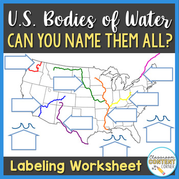
U.S. Bodies of Water Map
Can you name all the bodies of water on this U.S. map? This product can be used as guided notes, homework, or a study guide! Includes 10 Bodies of Water: - Mississippi River- Missouri River- Columbia River- St. Lawrence River- Ohio River- Colorado River- Rio Grande- Gulf of Mexico- Atlantic Ocean- Pacific OceanThis product is aligned with Virginia SOL, U.S. History to 1865, Standard USI.2cThank you for visiting my store! Click to follow me and be the first to learn about new products, sales, and
Subjects:
Grades:
4th - 7th
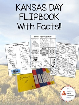
Kansas Day Symbol Flipbook W/ Facts!
http://educators15.blogspot.com/2015/01/kansas-day.html
We used Jayhawk colored construction paper.
How to make the flipbook:
1. Stagger Red, Yellow, and Blue Construction paper with 1/2 inch separation on the right side. Then fold, this should give you 6 tabs.
2. Staple and cut in half. On the upper right hand corner of the flipbook cut the corner to resemble Kansas's shape.
3. There are two ways to set up the tabs.
- One teacher chose to have the symbol title (State Mammal, State Insect,
Grades:
PreK - 12th
Types:
Mini-Guide for Middlers: A Single Shard Workbook
This is a mini-guide (a two-week literature study) for the book titled A Single Shard, by Linda Sue Park. In this book, Tree-ear, an orphan in 12th century Korea, desires to become a potter, but finds obstacles in his way. The guide contains:vocabulary activitiesdiscussion questionsreading activities – Students will: relate stories in their own words, draw a picture, connect similes, create a list, finish a sentence, write journal entries, and draw a sketch. Students will learn about: personi
Subjects:
Grades:
6th - 9th
Types:
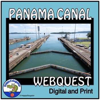
Panama Canal Study Questions Webquest with Digital Easel Activity and Assessment
Explore the Panama Canal with this webquest! Students answer 10 fundamental questions about its location, climate, demographics, and resources. They can complete it as a webquest or conduct independent research. The resource includes an answer key for class discussions. Ideal for homework, homeschool, remote learning, and independent study. 2024 is the hundred and tenth birthday of the Panama Canal. Printable and Digital Resource: Includes an Easel Activity ready for learning with digital tools
Grades:
5th - 8th
Types:
CCSS:
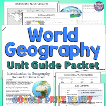
World Geography Unit Packet: Introduction, Worksheets, Maps, & Activities
This thorough worksheet packet on World Geography is a perfect unit guide to help students understand the key concepts of your introductory unit. The 9-page independent work packet includes engaging pages on the major topics of both physical and human geography as well as standards-based Essential Questions to guide your unit! It starts off with a short introductory reading on Geography and the essential questions followed by pages dedicated to each of the following: VocabularyUnderstanding Maps
Subjects:
Grades:
6th - 9th
States Test, Capitals Test, & Presidents Test | Google Forms + Google Classroom
Test your students' knowledge on the 50 states, the United States capitals, and the US Presidents! This bundle of tests are in a Google Forms format for you to easily assign through Google Classroom. Not only will these tests be user friendly for your students, but they are graded automatically for you the teacher! Whether you use these forms as practice tests, formal assessments, or both, you'll love the easy use yet difficult rigor! ⭐️ These states and capitals test forms are also included i
Subjects:
Grades:
4th - 12th
Types:
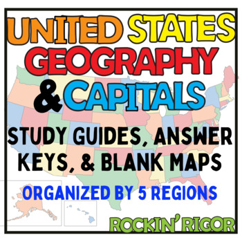
The United States - Geography and State Capitals
Teach the location of all fifty states and state capitals using these blank maps and study guides! Maps and study guides are broken up into five regions: Northeast, Southeast, Midwest, West and Southwest. This product also includes three maps of The United States (a blank map, a map students can color, and a labeled map of all the states). Students will learn the location of each state and state capitals in no time with this pack!
Grades:
3rd - 8th
Types:
Middle East Map Set
This map set includes everything you need for a geography or map study, review, and assessment of the Middle East. You will find blank study maps, maps to be used for review and assessment, crossword puzzles to learn the countries and capitals, as well as a variety of assessments for the countries and capitals of the Middle East. With this map set, all of the work is done for you! Just print & go!
Bonus: This Map Set includes maps for the physical geography of the Middle East, in addition t
Subjects:
Grades:
7th - 10th
Also included in: Geography Maps of the World Assessment Bundle
Western Europe Map Set
This map set includes everything you need for the study, review, and assessment of Western Europe maps. You will find blank study maps, maps to be used for review and assessment, crossword puzzles to learn the countries and capitals, as well as a variety of assessments for the countries and capitals of Western Europe. With this map set, twenty-two pages of the work is done for you! Just print & go!
The Western Europe Map Set includes:
• Blank Map
• Word Bank
• Map for labeling & Key
• M
Subjects:
Grades:
5th - 12th
Also included in: Geography Maps of the World Assessment Bundle
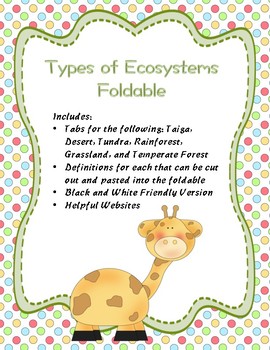
Types of Ecosystems Foldable
This foldable includes tabs for the ecosystems rainforest, tundra, grasslands, desert, temperate forest, and taiga. Although designed for
use in an interactive notebook, the foldable can also be used
alone. It’s a great tool for introducing Ecosystems! Students
write the definition of each, draw pictures, or list examples to
remember what they mean. Then students can use it later to review.
Includes a black and white friendly version, definitions that students can paste into the foldable, plus
Subjects:
Grades:
1st - 11th
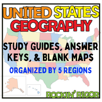
America's Fifty States - Maps and Study Guides!
Teach the location of all fifty states using these blank maps and study guides! Maps and study guides are broken up into five regions: Northeast, Southeast, Midwest, West and Southwest. This product also includes three maps of The United States (a blank map, a map students can color, and a labeled map of all the states). Each region ALSO includes a page for students to jot down tricks/tips that they can use to remember the state's location! Some tricks are given to students as helpful reminders
Grades:
2nd - 8th
Types:

Southwest Asia & North Africa Sketch Notes Sheet
This sketch notes sheet gives the summary of the major content to know for a Southwest Asia (Middle East) & North Africa geography unit. The information aligns with the Virginia SOL standards, but can be used for Common Core standards.The sketch notes sheet can be used in multiple ways: as a review guide for students, as a coloring sheet, or example for students to make their own review guide similar to this.
From the feedback students and teachers have given me, this is a very helpful tool
Subjects:
Grades:
6th - 12th
Types:
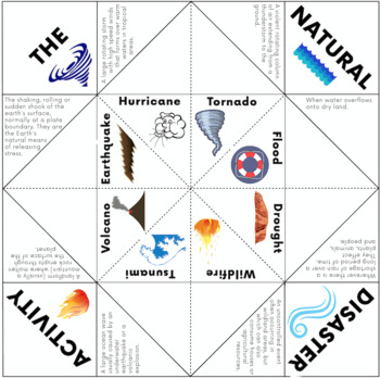
Natural Disaster Activity - Cootie Catcher Game
This activity is a cootie catcher (or fortune teller) for learning or revising natural disasters. It’s a great way to have students review their vocabulary of the topic and not even realise that they are learning! They will be engaged and excited with this addictive activity (as I am sure you will be too!).This pack includes a complete cootie catcher where they need to figure out the definition, another where they need to figure out the natural disaster, and another where they must complete the
Subjects:
Grades:
3rd - 7th
Types:
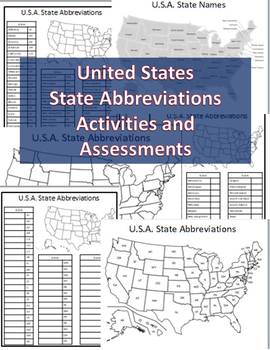
State Abbreviations Activities & Assessments State Abbreviations List & Practice
This is a set includes a list of U.S.A. states and their abbreviations, a map of the United States with the states as their full name, a map with the abbreviations, a blank outline map that you can have your students fill in, a "complete the chart" list of the states without their abbreviations, and a "complete the chart" list with the abbreviations without the state name that students can fill in. The list can be printed as a handout for your students to use as a study guide and/or reference to
Subjects:
Grades:
3rd - 9th
Types:

Map of Canada - Scavenger Hunt
This resource is an awesome follow up activity to students coloring and labeling a map of Canada. Students use their map, or an Atlas, to correctly answer the questions in the scavenger hunt. Students must also use their knowledge of a compass rose to complete this assignment. This acts as a great study guide before a mapping quiz of Canada as well!
My students love this assignment!
Subjects:
Grades:
4th - 7th
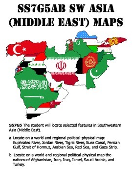
SS7G5ab Southwest Asia (Middle East) Map Pack
UPDATED TO REFLECT THE NEW STANDARDS!
This pack contains all of the maps you will need for the NEW 7th grade Social Studies Standards SS7G5ab.
Inside you will find: blank political and physical maps, study guides, quizzes, and tests (two types), test answer sheets, and keys for each item.
This set is also included in my Georgia 7th Grade Social Studies Map Pack, which includes ALL of the maps that would need for 7th grade Social Studies, plus a Comprehensive Map pack.
SS7G5 The student will
Subjects:
Grades:
6th - 8th
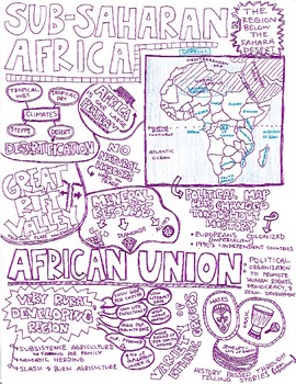
Sub-Saharan Africa Sketch Notes Sheet
This sketch notes sheet gives the summary of the major content to know for a Sub-Saharan Africa geography unit. The information aligns with the Virginia SOL standards, but can be used for Common Core standards.The sketch notes sheet can be used in multiple ways: as a review guide for students, as a coloring sheet, or example for students to make their own review guide similar to this.
From the feedback students and teachers have given me, this is a very helpful tool for reviewing content, chunk
Subjects:
Grades:
6th - 12th
Types:
Showing 1-24 of 330 results


