35 results
Geography printable interactive whiteboards
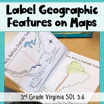
3rd Grade Geography - Label Continent Maps with Geographic Features - SOL 3.6
Need maps that focus on third grade Virginia standards? Look no further! These printable and digital maps focus exclusively on the geographic features third graders in Virginia need to know in North America, South America, Europe, Asia, and Africa. Use these maps for instruction, whole group practice, student notes, or assessment. Keep reading to get all the details!Printable Maps: Students will follow the directions on each page to add geographic features to the maps. For example, "Draw a blue
Subjects:
Grades:
3rd
Also included in: Geographic Features BUNDLE - 3rd Grade Geography Unit - VA SOL 3.6
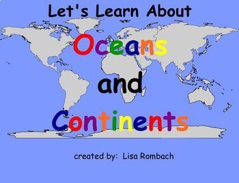
Oceans & Continents Social Studies SmartBoard Lesson Primary Grades
This lesson follows my lesson on THE GLOBE. Your students will learn about the continents and oceans through interactive pages (click and reveal), website links, video link and a printable book for students to color / write in and keep. A teacher's notes page is included describing how to use the lesson. Have fun learning about the world with this fun SmartBoard Lesson! Lisa Rombach(This is a .notebook file and requires Notebook software to open.)Some other social studies smartboard lessons
Subjects:
Grades:
K - 2nd
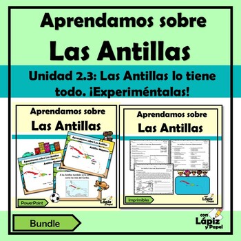
Aprendamos sobre las Antillas | Las Antillas lo tiene todo. ¡Experiméntalas!
¿Estás buscando actividades diversas y lúdicas sobre la Unidad 2.3: Las Antillas lo tiene todo. ¡Experiméntalas! del currículo de segundo grado de Puerto Rico? Este bundle es perfecto para trabajarlo. A tus estudiantes les encantará esta forma de aprender sobre Las Antillas.Este bundle posee una presentación en PowerPoint (No editable) y un recurso imprimible (No editable) donde se exponen brevemente información sobre Las Antillas (Antillas Mayores y Antillas Menores en forma general). Sin embar
Subjects:
Grades:
2nd
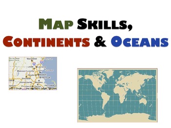
Geography Unit & Student Workbooks - Grades 1 & 2
This is a huge unit with 5 presentations and 3 student worksheets.
The unit covers:
Map skills:
- What is a map?
- Cardinal directions(north, south, east, west)
- Equator, north pole, south pole
Continents:
- 7 continents
- size order
- land
- animals
- facts
- location
Oceans
- 5 oceans
- names
- locations
The 3 student workbooks include activities for all topics above such as:
- fill-ins
- cut and paste names onto maps
- writing and identifying names of continents and oceans
-
Grades:
PreK - 2nd
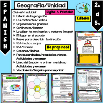
Mi planeta Continentes Oceanos Rosa de los vientos Primer Meridiano Editable
Cuando descargue el documento va a encontrar diferentes PowerPoints y un PDF:1- Editable y PDF (hojas de trabajo) listas para imprimir.2- No editable sin que puedan mover las imágenes3- Totalmente editable (para que lo ajuste a sus necesidades).¿Qué está incluído?Estudio de la geografíaLos continentes/HechosOrganizadores gráficosContinentes/ExamenLocalizar los continentes y océanos (mapa)Mi lugar en el espacioPasos para describir tu direcciónUSA-Hechos, mapaUSA/ExamenOcéanos/HechosPuntos cardin
Grades:
2nd - 4th
Social Studies Standards 5th grade
Great social studies standard cards for 5th grade teachers. Each card includes standard, picture, benchmark, and/or description. Won't take up too much space on your board. You can easily laminate and add a magnet to the back of them. No more staying late at school or getting there an hour early to prepare your board. Please note that these are aligned to the Florida Sunshine State Standards.
Enjoy!
Subjects:
Grades:
3rd - 8th
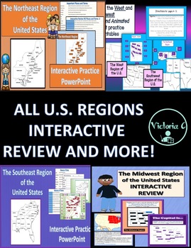
Animated Interactive BUNDLE FOR all 5 U.S. Regions Editable PPT
U.S. REGIONS4 Animated and INTERACTIVE PowerPoints:This was created to help students learn the states with their locations, of each U.S. region as well as important places, such as the capitals, along with key content vocabulary terms/ definitions. I created these for my 4th grade social studies classes but can be used across elementary grade levels. Included:1. Northeast Region - Fun, interactive practice and review PowerPoint for the NE Region of the U.S - includes 27 Vocabulary Terms/ places
Subjects:
Grades:
3rd - 5th
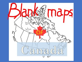
Blank Maps of Canada
PDF files in landscape and portrait.Versatile and useful in numerous waysIncludes maps with and without provinces labeledYou may also like:New French Regions maps of FranceBlank maps of Mexico
Subjects:
Grades:
3rd - 11th
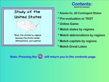
Learn the States - state names, capitals, abbreviations (Smartboard activities)
This product allows you to teach the different states within the United States in a FUN way!
Students are able to drag the states' names, capitals, or abbreviations to the appropriate location on the map. Correct answers will respond but incorrect answers will bounce back into the list. (Allows immediate evaluation of the students' knowledge of the material)
The SMARTboard activities teach/reinforce the states within different regions of the continent. By working with only a few states at a
Grades:
3rd - 6th
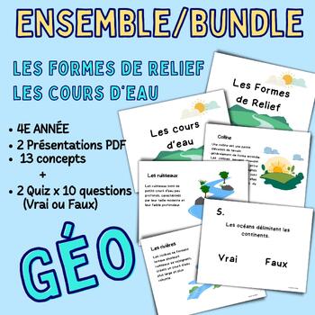
Landforms and Bodies of water- Geography 4th Grade Bundle
Landforms and Bodies of water- Geography 4th Grade This set includes 2 PDF presentations in landscape format: • Landforms - Tectonic Plates, Mountains, Hills, Plains, Valleys, and Plateaus. • Bodies of Water - Stream, River, Lake, River, Sea, and Ocean. It covers the most important definitions of these two topics, serving as a valuable complement to your teaching material. Designed for 4th-grade students, this resource is suitable for teachers and parents engaged in homeschooling. Each resource
Subjects:
Grades:
4th
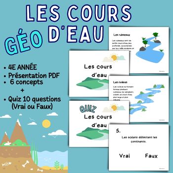
Bodies of water French Resource for 4th Grade
Bodies of water French Resource for 4th Grade4th-grade French classroom “Bodies of water “ resource! This landscape-format PDF presentation is designed to provide a clear and engaging understanding of essential bodies of water concepts: Ruisseau, Rivière, Lac, Fleuve, Mer and Océan. It covers the most important definitions of Bodies of water, making it a valuable addition to your teaching materials. Designed for 4th-grade students, this resource is perfect for both teachers and homeschooling par
Subjects:
Grades:
4th
Also included in: Landforms and Bodies of water- Geography 4th Grade Bundle
Year 1 HASS/Geog: Natural,Managed & Constructed Features PowerPoint & worksheets
This printable interactive and engaging slideshow and activity sheets are made to cater to the Year 1-2 Australian Curriculum HASS & Geography curriculums. Each feature is clearly explained and is age appropriate. I do, We Do, You Do. Each provides an opportunity to for class interaction and developing inquiry process & fine motor skills to discover the features of a place. Easy to use on the whiteboard or smart board. Download and print this resource for students.
Subjects:
Grades:
K - 2nd
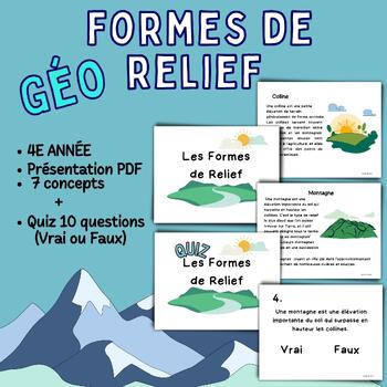
Landforms French Resource for 4th Grade
Landforms French Resource for 4th Grade4th-grade French classroom "Landforms" resource! This landscape-format PDF presentation is designed to provide a clear and engaging understanding of essential landform concepts: Plaques Tectoniques, Montagnes, Collines, Plaines, Vallées, and Plateaux.It covers the most important definitions of these landforms, making it a valuable addition to your teaching materials. Designed for 4th-grade students, this resource is perfect for both teachers and homescho
Subjects:
Grades:
4th
Also included in: Landforms and Bodies of water- Geography 4th Grade Bundle
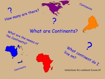
Introduction to the seven continents.
Introduction to the seven continents on earth. The smart board activity consist of definition of continents and a fact about each continent,labeling the continents by touching the board in the proper place to show labels of names of continents, position placement on a global map, a puzzle activity, making a book to color and to write the name of each continent and answering questions to help in a writing activity. Print out for students at end of smart board lesson.
Zip file contains Smart
Subjects:
Grades:
1st - 3rd
United States Geography and Regions - A Fourth Grade SMARTBoard Introduction
United States Geography and Regions – A Fourth Grade SMARTBoard Introduction is a SMARTBoard 4th grade level instructional presentation
It includes: Two SMARTBoard presentations (merged into one presentation) of the text along with one fully interactive presentation slides that are also available in PDF format to print and issue as classwork, homework, or attach/incorporate into an interactive notebook (after matching definitions with pictures, definitions may be secured to interactive notebook
Subjects:
Grades:
3rd - 5th
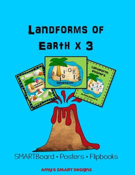
Landforms of Earth SMART Board Bundle
Save time and money with this landform bundle trio which includes a 40 page SMART Board Lesson that shows the following landforms and definitions: basin,bay, canyon, cape, cave, desert, hills, glacier, isthmus,island, mesa, lake, mountain, peninsula, plateau, river, valley, and volcano. There is also a US map on each definition page for students to mark landforms as they find them during the year if you are studying US Regions. Great meaningful research activity.
*Bundle includes these print
Subjects:
Grades:
2nd - 4th
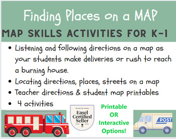
MAP SKILLS - Reading MAPS (K-2) PRINTABLE OR INTERACTIVE
Guide your students through 4 fun activities.There are 4 different maps with teacher directions included. Students follow your directions to find places on each map.You can give each student a printed copy of the map for each activity or you can use the interactive maps included.
Subjects:
Grades:
K - 2nd
Geography of the United States - A Fifth Grade SMARTBoard Introduction
Geography of the United States – A Fifth Grade SMARTBoard Introduction is a SMARTBoard 5th grade level instructional presentation
It includes a SMARTBoard presentation of the text along with two fully interactive presentation slides that are also available in PDF format to print and issue as classwork, homework, or attach/incorporate into an interactive notebook. Students can also complete the activities during the presentation as reinforcement of the presentation.
The presentation includes:
•
Subjects:
Grades:
4th - 6th
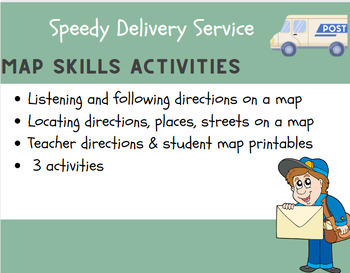
MAP SKILLS - Reading MAPS (K-2)
Guide your students through 3 fun activities. There are 3 different maps with teacher directions included. Students follow your directions to find places on each map.I gave each of my students a printed copy of the map for each activity plus I displayed one on my interactive board so I could model how to follow the directions to locate places on the map.
Grades:
K - 2nd
South Carolina River Systems Activity - Promethean Flipchart, Activity, Song
Looking for a new way to teach an old skill? Look no further than this Promethean Board led activity. Students will learn about South Carolina's 4 major river systems (Pee Dee, Santee, Edisto, and Savannah) through an interactive white board lesson, original rap song, and craftivity. I like to use 4 different colors of yarn during the craft time but you can use marker or even glitter glue!
This activity covers content from South Carolina's Social Studies standard 3-1.2 (3-1.2: Describe the loca
Grades:
2nd - 3rd
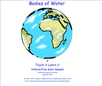
Bodies of Water - a Touch it Learn it Interactive Mini-lesson
Touch it Learn it Interactive Mini-lessons are designed to increase student engagement by using the Smartboard multimedia device. This is the 1st in a series of products that teachers will be able to purchase from my store. Students will be able to distinguish between sources of saltwater and freshwater using the reveal and vortex sort features of Smart Notebook. This file also contains printables that students can cut and paste to create their own Venn diagram.
Note: This product is a .zip f
Subjects:
Grades:
2nd - 4th
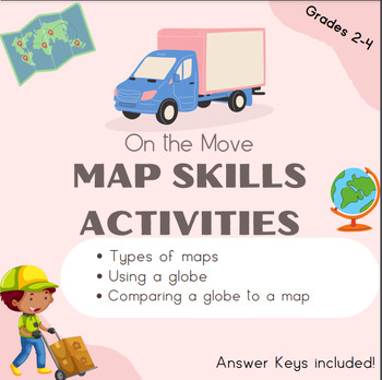
Map Skills (using maps and globes) Grades 2-4
Explore types of maps and the globe with Matt the Mover!Includes printables, interactive options, group project and answer keys!Skills:Types of maps Using a globeComparing a globe to a map (group project)
Grades:
2nd - 4th
Also included in: Map Skills (types of maps, using a globe, hemispheres, map vocabulary)
Animal Habitats Virtual trip:Digital trip with videos, stories, songs & passport
⭐ Interactive Google Slides (71 pages)⭐ 6 animal habitats⭐ 7 virtual trips around the world ⭐ printable passport⭐ 360°videos, stories, songs___________________________________________________________ANIMAL HABITATS Children will discover 6 animal habitats through engaging videos, catchy songs and, read-aloud stories. Head out on 7 trips around the world by visiting different countries and their habitats. You will learn what makes each habitat characteristic, what animals live there and what plan
Subjects:
Grades:
K - 2nd
Blank Maps of Mexico
PDF files in landscape and portrait.Versatile and useful in numerous waysIncludes maps without labelsYou may also like:New Regions Maps of FranceBlank Maps of Canada
Subjects:
Grades:
Not Grade Specific
Showing 1-24 of 35 results


