40 results
Geography task card interactive whiteboards
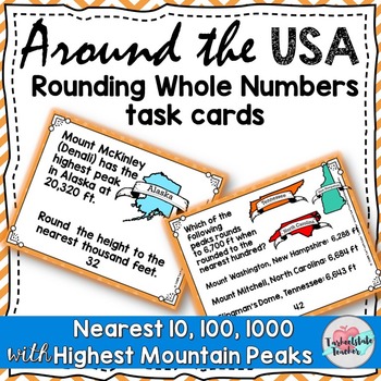
Rounding to Nearest 10 and 100, 1000 Round Tens, Hundreds, Thousands Task Cards
Go around the USA with these Number and Operations in Base 10 task cards that have students rounding the highest mountain peaks in each state. Students round to the nearest 10, round to the nearest 100, or round to the nearest 1,000 to practice 3.NBT.1 using word problems and engaging real-world math connections.My themed sets of word problems use real world themes that you can use year-round, no matter the season or holiday around the corner! (These would also be great during test-prep season
Subjects:
Grades:
3rd - 4th
Also included in: Understanding Place Value Number Operations in Base 10 Task Cards BUNDLE
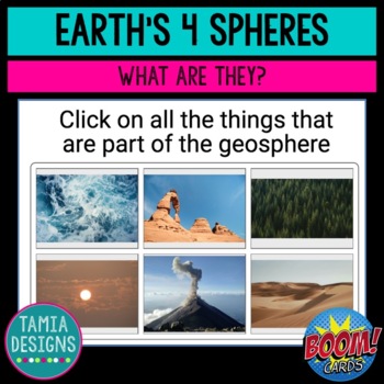
Four spheres of Earth - Boom Cards online no-print activity
A good introductory activity for NGSS.5-ESS2-1, this online, self-checking, activity starts by introducing the four spheres of Earth: geosphere, hydrosphere, atmosphere, and biosphere. Students then identify which sphere can be seen in a series of photos, answer multiple choice and fill-in-the-gap questions based on the information they've been given, as well as stretch their vocabulary by identifying the meanings of other words using the same prefixes. Far more colorful and engaging than a phot
Subjects:
Grades:
5th
NGSS:
5-ESS2-1
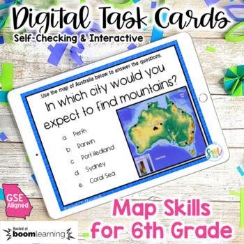
Map Skills for 6th Grade DIGITAL Task Cards | DISTANCE LEARNING | GSE Aligned
Review your unit using digital task cards! They're versatile and super easy. Just assign and go! Your students will LOVE reviewing 6th grade map and globe skills with this digital task card set! These task cards are interactive. This allows students to self-check! With a paid subscription, you even have the ability to track their progress! Included: • Link to a digital Boom Cards Deck with 38 Interactive Task Cards (online activity)• Print Version (must be printed in color) with answer key❮❮❮CLI
Subjects:
Grades:
6th
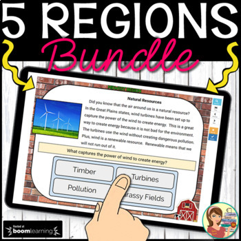
5 U.S. Regions Digital Boom Cards BUNDLE
These interactive digital task cards on the BOOM Learning website cover all 50 states in the five regions of the United States. WHAT IS INCLUDED WITH EACH REGION? Students label the states using a drag and drop map. Non-fiction informational text cards explore the region’s history, climate, land, economy, natural resources and landmarks with reading comprehension questions using multiple choice answers.Students name each state's capital with multiple choice options. Students list each state's
Grades:
3rd - 5th
CCSS:
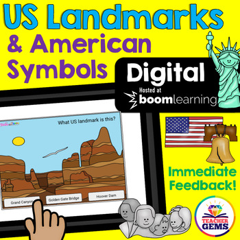
US Landmarks and American Symbols Digital Boom Cards™ Distance Learning
Students will learn to identify famous US landmarks and American Symbols with these fun interactive digital Boom Cards™. Students are given three pictures and asked to identify the correct landmark or symbol. There are 24 boom cards included in this product.Also included in this download is a "Getting Started with Boom Cards Quick Guide Tutorial" that will walk you through how to set up an account, how to set up a classroom, how to assign decks to students, how to play decks and how to monitor s
Grades:
3rd - 5th
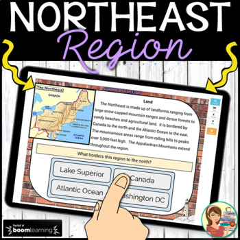
Northeast Region Digital Boom Cards
These 37 interactive digital task cards on the BOOM Learning website cover the eleven states in the Northeast region of the United States. WHAT IS INCLUDED? Students label the states using a drag and drop map. Non-fiction informational text cards explore the region’s history, climate, land, economy, natural resources and landmarks with reading comprehension questions using multiple choice answers. (13 cards) Students name each state's capital with multiple choice options. (11 cards) Student
Grades:
3rd - 5th
CCSS:
Also included in: 5 U.S. Regions Digital Boom Cards BUNDLE
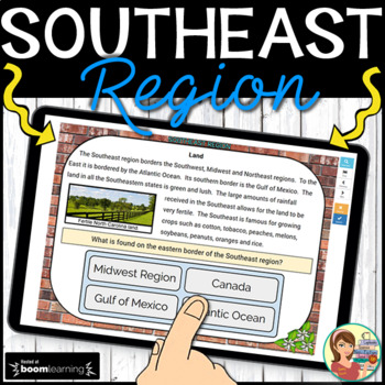
Southeast Region Digital Boom Cards
These 38 interactive digital task cards on the BOOM Learning website cover the twelve states in the Southeast region of the United States. WHAT IS INCLUDED? Students label the states using a drag and drop map. Non-fiction informational text cards explore the region’s history, climate, land, economy, natural resources and landmarks with reading comprehension questions using multiple choice answers. (12 cards) Students name each state's capital with multiple choice options. (12 cards) Student
Grades:
3rd - 5th
CCSS:
Also included in: 5 U.S. Regions Digital Boom Cards BUNDLE
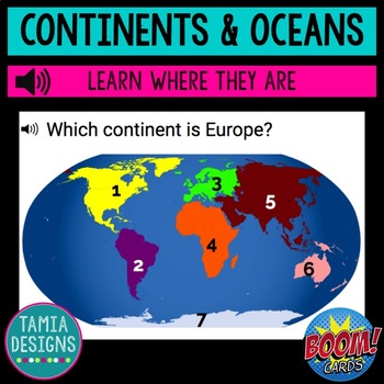
Continents and Oceans Boom Cards no-print digital activity
Looking for a geography activity that goes beyond writing continent and ocean names on a map? This NO PREP, self-checking, digital social studies activity hosted at Boom Learning starts by reviewing the names of the continents and oceans. Students hear the names as well as read them. Then your students will build their geography knowledge by identifying the continents (North America, South America, Africa, Asia, Australia, Antarctica, Europe) and oceans (Atlantic, Pacific, Indian, Arctic, Southe
Subjects:
Grades:
1st - 3rd
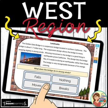
West Region Digital Boom Cards
These 39 interactive digital task cards on the BOOM Learning website cover the eleven states in the West region of the United States. WHAT IS INCLUDED? Students label the states using a drag and drop map. Non-fiction informational text cards explore the region’s history, climate, land, economy, natural resources and landmarks with reading comprehension questions using multiple choice answers. (15 cards) Students name each state's capital with multiple choice options. (11 cards) Students lis
Grades:
3rd - 5th
CCSS:
Also included in: 5 U.S. Regions Digital Boom Cards BUNDLE
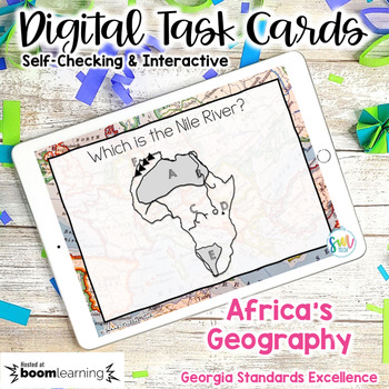
Geography in Africa DIGITAL Task Cards SS7G1, SS7G1a, SS7G1 | DISTANCE LEARNING
Review your year using digital task cards! They're versatile and super easy. Just assign and go! Your students will LOVE reviewing geography in Africa. (aligned in Georgia's Standards of Excellence) with this digital task card set! These task cards are interactive. This allows students to self-check! With a paid subscription, you even have the ability to track their progress! Included: • Link to a Boom Cards Deck with 25 Task Cards ❮❮❮CLICK HERE TO PLAY A PREVIEW GAME! ❯❯❯►Need an Interactive Go
Subjects:
Grades:
7th
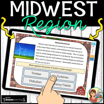
Midwest Region Digital Boom Cards
These 37 interactive digital task cards on the BOOM Learning website cover the twelve states in the Midwest region of the United States. WHAT IS INCLUDED? Students label the states using a drag and drop map. Non-fiction informational text cards explore the region’s history, climate, land, economy, natural resources and landmarks with reading comprehension questions using multiple choice answers. (11 cards) Students name each state's capital with multiple choice options. (12 cards) Students
Grades:
3rd - 5th
CCSS:
Also included in: 5 U.S. Regions Digital Boom Cards BUNDLE
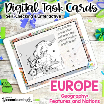
Geography in Europe DIGITAL Task Cards SS6G7, SS6G7a, SS6G7b | DISTANCE LEARNING
Review your year using digital task cards! They're versatile and super easy. Just assign and go! Your students will LOVE reviewing geography in Europe. (aligned in Georgia's Standards of Excellence) with this digital task card set! These task cards are interactive. This allows students to self-check! With a paid subscription, you even have the ability to track their progress! Included: • Link to a Boom Cards Deck with 23 Task Cards ❮❮❮CLICK HERE TO PLAY A PREVIEW GAME! ❯❯❯►Need an Interactive Go
Subjects:
Grades:
6th
Geography Warm Ups and Task Cards
Daily warm ups are a great way to get kids working the second they enter your classroom. These 50 task cards can be displayed on your smart board as daily geography practice. The task cards can also be used as a center activity for students to practice their world geography skills or can be placed around the room for students to answer in a gallery walk. You choose!
Grades:
5th - 8th
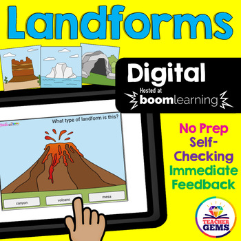
Landforms Digital Boom Cards™ Distance Learning
Students will learn to identify landforms with these fun interactive digital task cards. Students are shown a landform and asked to identify it by selecting from one of three written choices. Also included in this download is a "Getting Started with Boom Cards™ Quick Guide Tutorial" that will walk you through how to set up an account, how to set up a classroom, how to assign decks to students, how to play decks and how to monitor student progress.Landforms Include:•bay•beach•butte•canal•canyon•c
Grades:
3rd - 5th
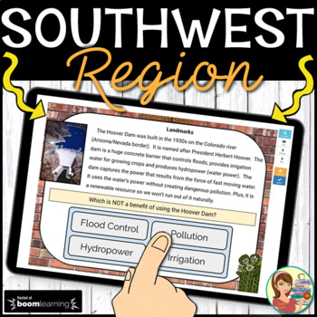
Southwest Region Digital Boom Cards
These 23 interactive digital task cards on the BOOM Learning website cover the four states in the Southwest region of the United States. WHAT IS INCLUDED? Students label the states using a drag and drop map. Non-fiction informational text cards explore the region’s history, climate, land, economy, natural resources and landmarks with reading comprehension questions using multiple choice answers. (13 cards) Students name each state's capital with multiple choice options. (4 cards) Students l
Grades:
3rd - 5th
CCSS:
Also included in: 5 U.S. Regions Digital Boom Cards BUNDLE
Geography Quiz Maps and Globes- Boom Cards
Map reading and understanding globes is an important lifelong skill! This set of self-grading interactive cards features multiple choice, true and false, and fill-in-the-blank questions to test basic knowledge of globes and maps. How do I play my cards?When you purchase this set you will download a PDF that includes a link to your purchased task cards on Boom Learning℠. More About Boom Learning℠To use Boom Cards, you must be connected to the Internet. Boom Cards play on modern browsers (Chrome,
Grades:
2nd - 4th
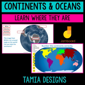
Continents and Oceans Jamboard digital learning no print activity
This Jamboard geography activity helps students build their geography knowledge by identifying the continents and oceans using both shape and location. Ideal for follow-up to the traditional coloring and labeling of a paper map if students need extra practice, for a no-print or distance-learning activity, or assessment. This is a shorter version of my Boomcards activity on the same topic. The Boomcards include audio so that students can hear the names pronounced, as well as being self-checking.
Subjects:
Grades:
1st - 3rd
Geography for Beginners| K, 1, 2, 3 | Social Studies | with Audio
Geography for Beginners| K, 1, 2, 3 | Social Studies | Speech Therapy | Special Education | Includes Audio ClipsGeography for Beginners Boom Cards are a fun way to learn basic geography.Anybody can get a quick review of basic geographic terms by using this deck.With this deck of 53 cards, kids learn a lot of basic concepts in geography likeWhat is Geography?Founders of GeographyTypes of GeographyContinents & OceansLayers of the EarthContinental DriftLife on EarthBiomes & TypesLatitudes &
Subjects:
Grades:
K - 2nd
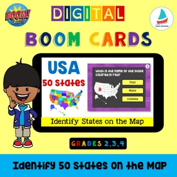
USA 50 States - Identify by Location on the Map | Map Skills | USA Map Geography
USA 50 States - USA Map Geography Social StudiesUSA 50 States - Identify by Location on the Map Boom Cards Set is a great tool to develop Map skills in Geography for 2nd, 3rd and 4th grade kids.This deck includes 50 cards with maps of the 50 states of USA. Students identify the states by their location on the map of USA and click on the correct state name. Prepare yourself. Your students will BEG for more BOOM Card time! They're gonna love it! You can use this resource via Google Classroom,
Subjects:
Grades:
2nd - 5th
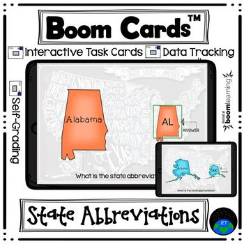
Boom Cards State Abbreviations
Product Description:Board the plane and take a tour of the United States! This set of 50 cards will have students looking at a map of each of the United States and identifying the state abbreviation - also help to reinforcing the shape of each state and state names. This deck is Fill-in-the-Blank and students will type in the state abbreviation.These digital task cards would be great on a laptop, desktop, Chromebook, tablet, or any other mobile device that can access the internet. They can even
Subjects:
Grades:
Not Grade Specific
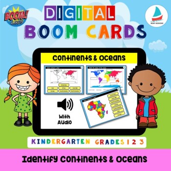
Continents & Oceans| K, 1, 2| Social Studies, Geography, Maps
Continents & Oceans | K, 1, 2 | Social Studies, Geography, Maps Continents & Oceans Boom Cards are a fun way to learn to identify Continents & Oceans. With this deck of 16 cards, kids learn to identify the 7 continents by their position on the world map and by the shape and position of the 5 oceans.This deck of 16 cards can be used for social studies classes K-2 for review, classroom, or distance learning purposes.Prepare yourself. Your students will BEG for more BOOM Card time! They
Grades:
K - 1st
Renewable and Nonrenewable Resources - Boom Cards - Digital Task Cards
Use Boom cards for a fun and engaging way to learn practice differentiating between renewable and nonrenewable resources! Students will read a resource example and decide if it is a renewable or nonrenewable resource. Students will then choose renewable or nonrenewable with immediate feedback. There are 36 digital task cards included in this set.Boom cards are digital task cards that provide immediate feedback as students interact with them. These cards are easy to upload and can be used on chr
Subjects:
Grades:
3rd - 5th
Geography Boom Cards and Map Skills - United States and North America
Students learn directions and locations of states in the United States and capitals, states, provinces, and territories in North America with these engaging BOOM Card activities. In what direction would you travel if you were going from Ohio to California? From Edmonton, Alberta to Juneau, Alaska? Can you locate Kansas on a map? Find out by playing with these BOOM decks. BOOM cards are engaging, self-paced, self-grading, and super-fun! Students get immediate feedback and you see their res
Subjects:
Grades:
4th - 8th
CCSS:
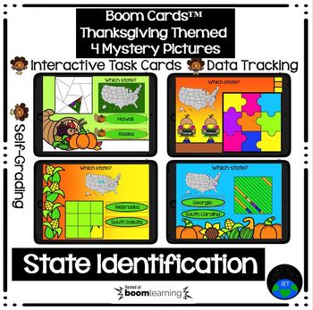
Boom Cards State Identification Thanksgiving Mystery Pictures
Product Description: Take a tour of the United States! This set of 50 cards will have students looking at a map of the United States and identifying the highlighted state - reinforcing the location of each of the 50 states, the shape of each state, state names, states that surround each state, etc. Students will select the correct Multiple Choice answer (two choices). Correct responses will have a green circle and incorrect responses will have a red circle and a line. There are 4 sets of Myster
Subjects:
Grades:
Not Grade Specific
Showing 1-24 of 40 results


