160 results
Geography lesson interactive whiteboards
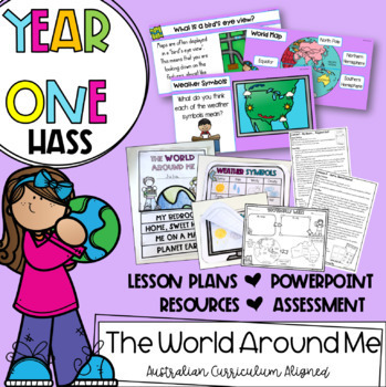
Year One HASS: 'The World Around Me' | Australian Curriculum Geography |
| FREE review/update to V9 Australian Curriculum, landing first half of '24. Buy in now to beat the price increase and get the updates free |This unit includes everything you need to teach a 'Geography: The World Around Me' unit for Year 1 HASS...for the entire term! Paired with my 'Places and Spaces' unit, it is all of your geography content covered. This particular unit focuses on exploring the world around us. Students investigate their location in terms of suburb, city and country, as well a
Grades:
1st
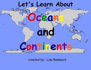
Oceans & Continents Social Studies SmartBoard Lesson Primary Grades
This lesson follows my lesson on THE GLOBE. Your students will learn about the continents and oceans through interactive pages (click and reveal), website links, video link and a printable book for students to color / write in and keep. A teacher's notes page is included describing how to use the lesson. Have fun learning about the world with this fun SmartBoard Lesson! Lisa Rombach(This is a .notebook file and requires Notebook software to open.)Some other social studies smartboard lessons
Subjects:
Grades:
K - 2nd
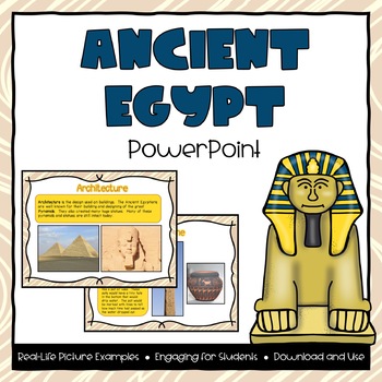
Ancient Egypt Powerpoint
**Please Note: this product is also part of the Ancient Egypt Bundle. If you have already purchased that product then you do not need to purchase this one. Bundle and Save!This file includes a 20-page powerpoint presentation featured around the topic of Ancient Egypt. Topics included are:- Where is Egypt?- Land in Egypt- Human Resources- Architecture- Government- Beliefs- Inventions- Adaptations- Contributions- Changes over time (from beginning, greatest period of influence, and today)Many pictu
Grades:
2nd - 4th
Also included in: Ancient Egypt PowerPoint & Interactive Notebook Bundle
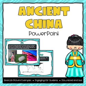
Ancient China Powerpoint
**Please Note: this product is also part of the Ancient China Bundle. If you have already purchased that product then you do not need to purchase this one. Bundle and Save!This file includes a 20-page powerpoint presentation featured around the topic of Ancient China. Topics included are:- Where is China?- Land in China- Human Resources- Architecture- Inventions- Adaptations- Contributions- Changes over time (from beginning, greatest period of influence, and today)Many pictures and examples are
Grades:
2nd - 4th
Also included in: Ancient China PowerPoint & Interactive Notebook Bundle
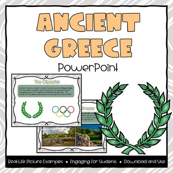
Ancient Greece Powerpoint
**Please Note: this product is also part of the Ancient Greece Bundle. If you have already purchased that product then you do not need to purchase this one. Bundle and Save!This file includes a 18-page powerpoint presentation featured around the topic of Ancient Greece. Topics included are:- Where is Greece?- Land in Greece- Human Resources- Architecture- Government- Beliefs- Olympics- Adaptations- Contributions- Changes over time (from beginning, greatest period of influence, and today)Many pic
Grades:
2nd - 4th
Also included in: Ancient Greece PowerPoint & Interactive Notebook Bundle
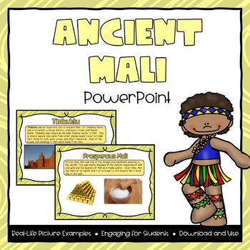
Ancient Mali Powerpoint
**Please Note: this product is also part of the Ancient Mali Bundle. If you have already purchased that product then you do not need to purchase this one. This file includes a 15-page powerpoint presentation featured around the topic of Ancient Mali. Topics included are:- Where is Mali?- Land in Mali- Human Resources- Timbuktu- Government (Kings)- Griots- Adaptations- Gold and Salt- Changes over time (from beginning, greatest period of influence, and today)Many pictures and examples are included
Grades:
2nd - 4th
Also included in: Ancient Mali PowerPoint & Interactive Notebook Bundle
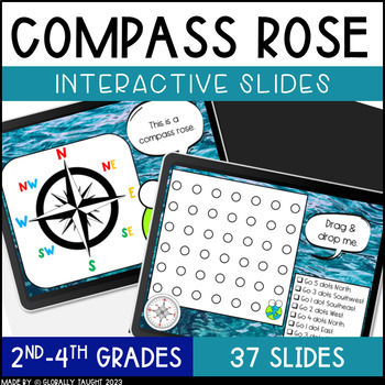
Digital Compass Rose Activities with Cardinal and Intermediate Directions Game
Explore the Compass Rose, Cardinal Directions, and Intermediate Directions with this ENGAGING and INTERACTIVE digital lesson. Practice using a compass with fun activities. These digital slides include short readings, engaging videos, and interactive activities for a highly-engaging lesson on the Compass Rose.Try the Seasons & Hemispheres Digital Slides too!Product Details:37 Interactive SlidesAuthentic Images and Examples of Compasses Quick Interactive Learning Checks (Turn & Talks, Dra
Grades:
1st - 3rd
Also included in: Geography Digital Slides Bundle - Compass and Hemispheres Google Slides
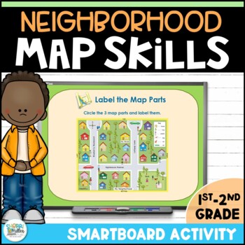
Neighborhood Map Skills SMARTboard Lesson
In this fun, interactive Smartboard lesson, students will learn about parts of a map and digitally use a map key and compass rose to create a neighborhood map! This introduction to map skills includes information and activities to learn about the map title, map key or legend and the compass rose. You must have Smart Notebook software to open this file. Correlated to Virginia Social Studies SOL 2.6. You may also be interested in these other resources:Map Skills Task Cards - QR Code Scoot Game B
Subjects:
Grades:
1st - 2nd
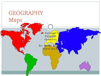
Geography - Maps (Physical, Political, Thematic)...and Their Elements
Physical Maps, Political Maps, and Thematic Maps are described along with an image for students to see the differences between the types of maps. In addition to a brief introduction to these three maps, students are introduced to map elements, such as The Alpha-Numeric Grid, Titles, The Compass Rose, Map Keys, Symbols, and Scales...through a brief description and image. The presentation concludes with some videos and games that will test your students' knowledge of maps.
If you like this produc
Subjects:
Grades:
2nd - 4th
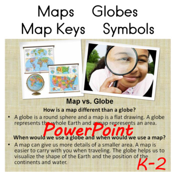
Maps, Globes, Map Keys and Symbols PowerPoint
Maps, Globes, Map Keys and Symbols PowerPoint PresentationFor full interactivity, if you don't have access to PowerPoint, try this free online version: https://www.office.com/launch/powerpoint20 slidesK-2
Subjects:
Grades:
K - 2nd
Using Geocaching to Illustrate Latitude and Longitude in the Classroom
Get your students moving and actually applying latitude and longitude through geocaching. Incorporating GPS technology, computer websites, and basic geography, this lesson gets students excited about learning geography, maps, and the new game of geocaching. This lesson was used with fourth grade students but can be adapted for middle school and high school students as well. This lesson also ties in well with space history, science and satellites technology. by Susan R. Wagner
Using Geocaching t
Subjects:
Grades:
4th - 8th

Ancient China PowerPoint
Ancient China PowerPoint
Includes the following topics:
Map of China
The Yangtze River
The Yellow River (Huang He)
Gobi Desert
The Great Wall of China
Work Traditions
Chinese Village
Tea Growing
Wok
Herders
Chinese Inventions
Chinese Characters
Youtube video
Subjects:
Grades:
2nd - 4th
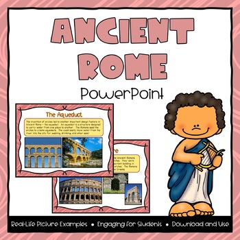
Ancient Rome Powerpoint
**Please Note: this product is also part of the Ancient Rome Bundle. If you have already purchased that product then you do not need to purchase this one. This file includes a 18-page powerpoint presentation featured around the topic of Ancient Rome. Topics included are:- Where is Rome?- Land in Rome- Human Resources- Architecture- Government- Roads- Aqueducts- Adaptations- Contributions- Changes over time (from beginning, greatest period of influence, and today)Many pictures and examples are in
Grades:
2nd - 4th
Also included in: Ancient Rome PowerPoint & Interactive Notebook Bundle
SMARTboard: Introduction to Maps & Directions
This 8 slide SMARTboard Lesson serves to give an introduction, overview and some practice using maps, a compass rose, and following directions.
The specific slides are:
- Map vs. Globe Information
- Finding our Location on a Map
- What is a Compass Rose?
- Where in the World Are We?
- Facts about the Compass Rose
- Following Directions on a Map
- Using a Map Key
All 8 slides are fully interactive with numerous clickable items which fade away to reveal answers to questions.
This lesson is spec
Grades:
1st - 2nd
Learn about Cultures, Africa, SmartBoard Lesson for Primary Grades
Your students will enjoy learning about the culture of Africa with my 18 page smartboard lesson. The file includes a teacher's notes page, interactive pages, links to websites, link to video, and a printable. Students will learn about the location of Africa, its countries and some of their flags. They will listen to a nation anthem of an African country, learn about African animals and watch a traditional African dance. Finally, they will learn about Kwanzaa through a website story and a vid
Subjects:
Grades:
1st - 3rd
Learn about Cultures, China, Smart Board Lesson for Primary Grades
Introduce your students to the culture of China with my SmartBoard lesson! They will learn about the location of China on the map, view the flag, listen to the national anthem (link to youtube), learn about the Giant Panda through a video link, learn about the Chinese New Year through a website link and a video link, watch a video taken at the Great Wall (link), view and learn about ancient Chinese writing and a printable is included for your students to write about what they learned. Have fun
Subjects:
Grades:
1st - 2nd
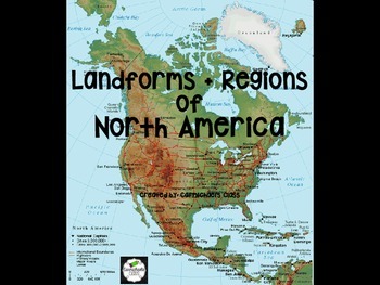
Landforms and North American Regions
This product is a wonderful visual aid and explanation for teaching Landforms and North American Regions. Each slide focuses on a different landform or region and offers a clear description, photos, and a map (when appropriate). Use this resource to supplement instruction with various units in science and/or social studies, as a review for test prep, or even as a starting point for group projects!!
This work is licensed under a Creative Commons Attribution-NonCommercial-NoDerivatives 4.0 Inte
Subjects:
Grades:
3rd - 5th
Learn about Cultures, Mexico SmartBoard Lesson for Primary Grades
Your students will enjoy learning about the culture of Mexico with this SmartBoard lesson! Lesson includes a lesson plan, interactive pages, website links, youtube videos and a student response sheet. Open the preview to see all the pages in this resource.(Note: this is a .notebook file and requires Notebook software to open.) Lisa RombachOther culture lessons you may like:Learn about Cultures, China SmartBoard lesson for Primary GradesLearn about Cultures, Australia SmartBoard Lesson for Pri
Subjects:
Grades:
1st - 3rd
The Globe Social Studies SmartBoard Lesson Primary Grades
Time for a geography lesson! Your students will love learning about the earth and it's model, the globe. This lesson includes a teacher's notes page, 2 graphs, link to interactive website that allows you to unwrap the globe, links to videos (size of earth, moon, sun, how a globe is made) and finally, a cloze writing activity to review the concepts from the lesson. Students will learn about the size of the earth, that the globe is a model of the earth, that the earth has more water than land,
Subjects:
Grades:
1st - 3rd
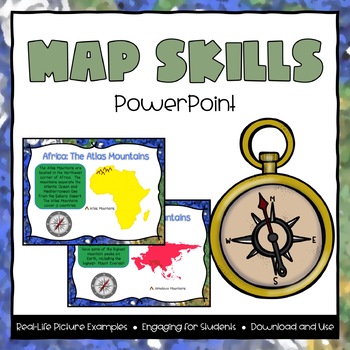
Map Skills Powerpoint
**Please Note: this product is also part of the Map Skills Bundle. If you have already purchased that product then you do not need to purchase this one. Bundle and Save!This file includes a 36-page powerpoint presentation featured around the topic of Map Skills. Topics included are:- Map of the World - locating 7 continents and 5 oceans- Important features in Africa: Atlas Mountains, Nile River, Sahara Desert- Important features in Europe: Italian Peninsula, Mediterranean Sea, Alps Mountains- Im
Grades:
2nd - 4th
Also included in: Map Skills PowerPoint & Interactive Notebook Bundle
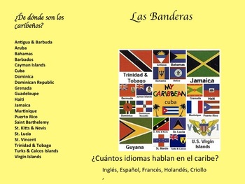
La Música Afro-Caribeña y La Historia de Su Evolución
Descripción:
En esta unidad los estudiantes van a aprender de la geografía, la historia, y la música de Cuba, La República Dominicana, y Puerto Rico. Van a escuchar ejemplos de música de los tres países para tener un mejor entendimiento de la presencia africana adentro de la cultura Caribeña. Primero tendrán una introducción a la geografía y historia del caribe. Luego, van a enterarse como la música cuenta la historia de la gente y la vida cotidiana. También buscarán como la música ayud
Subjects:
Grades:
7th - 10th
Early Map Skills
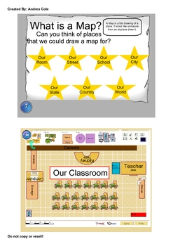
This UNIT contains Smartboard lessons that are geared towards children who are just learning basic map skills. Some key concepts covered are the following.
Introduction to a variety of maps, Early maps, Parts of Maps, Directions (N,S,E,W), Compass Rose, Map Symbols, Map Keys, Scale, Standard and Metric Scale Measurements, Map Titles, Map Labels, Types of Maps, Globes, The Equator, Hemispheres, Landforms, Relief Maps, Product Quilts. This Unit also includes printable worksheets available in PDF
Grades:
1st - 4th
United States Regions Presentations Bundle
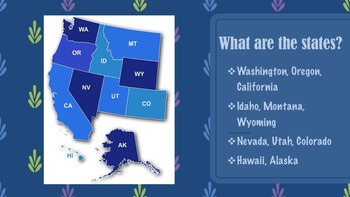
This product gives information about each region of the United States, including maps, photographs, & information pertaining to each state of each region. There are five presentation files included for each region along with descriptions of each state. If you like this product, please go to my "It's A Vaughnderful Classroom" to check out other creative products or download a FREEBIE of the Northeast region to preview.
Grades:
2nd - 7th
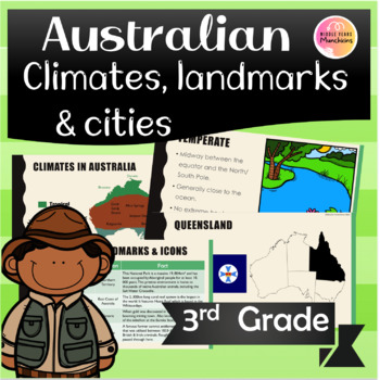
Australian Icon, City, State and Climates Information PowerPoint
An interactive PowerPoint about location of capital cities and states and territories of Australia. Information on the 3 the main climates within Australia (tropical, dry, temperate) and their location as well as famous landmarks. A fun way to learn about the Australian basics!This product is not editable. There is one page that is editable to allow some extra landmarks to be included. Made for a Year 3 unit of work I completed, but content is suitable for grades 2-4.Included in this Product:-
Grades:
2nd - 4th
Also included in: Australian Icon, City, State and Climates BUNDLE
Showing 1-24 of 160 results


