3,822 results
4th grade geography resources for Microsoft Word
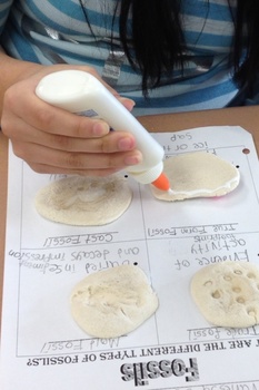
Types of Fossils Activity
Different types of fossils. True form, cast, mold, and trace fossils. Students will replicate each type of fossil and glue it to the handout.
Subjects:
Grades:
1st - 10th
Types:
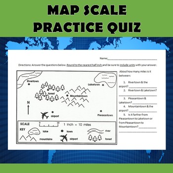
Map Scale Practice Quiz
Check out my other $1 sale here: Latitude and Longitude BattleshipI use this simple quiz as an introduction to using map scale. It can be used as a pre-assessment, post-assessment, or as an instructional tool. The quiz can be used in many different grade levels depending on how much practice your students have had with using scale. We do these five simple questions together as a class, and then I give them an additional scale worksheet that students complete on their own. This particular file is
Grades:
4th - 7th
Types:
Also included in: Map Scale Bundle
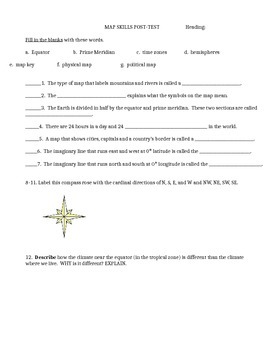
Map skills quiz includes continents, oceans, scale, time zones, latitude & more
This is a social studies assessment for basic map skills for late elementary and middle school students. Skills included are:Map skills vocabulary: equator, prime meridian, times zones, hemisphere, physical map, political map, map keyLabel compass rose and latitude and longitude lines. Matching continents and oceans. Interpret maps-- latitude and longitude, time zones, and grid map. It could also be used as a group activity rather than a test. Feel free to adapt it to your own needs. Answer
Subjects:
Grades:
4th - 9th
Types:
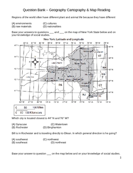
Middle School Social Studies Question Bank - Geography & Maps
This 30+ page document is a collection of both multiple-choice and extended written response questions that require students to demonstrate their knowledge of geography and map interpretation. Latitude/longitude , directional compasses, and interpreting maps are a major focus of this question bank. Use this question bank to design your own graded do nows, quizzes, and tests for your intermediate classroom (grades 4 - 8).
latitude, longitude, geography, maps, climate, region, city, town, settl
Subjects:
Grades:
4th - 8th
Types:
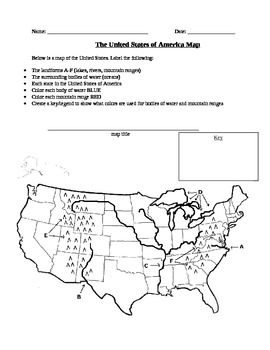
Geography: United States Map Exercise
This activity is a map of the United States containing some landforms and physical features as well as political state lines. Students are asked to label landforms like mountain ranges, rivers, lakes, and bodies of water as well as the state names. Students are also asked to create a map title and a legend to show what colors they used to color in bodies of water and mountain ranges.
Subjects:
Grades:
3rd - 12th, Higher Education
Types:
Road Trip Adventure PROJECT BASED LEARNING for GATE and 3rd - 8th Grades
Come along on a fun project-based adventure as students practice different forms of writing, geography skills, computer and internet technology skills, engineering and design skills, math skills, public speaking, creativity, and art.
Here is your Gold Medal Standard project based learning unit ready to go. Because this project-based unit relies heavily on student creativity and invention, the key knowledge, understanding, and success skills can be scaffolded across many grade levels. This un
Grades:
3rd - 8th
Types:
Also included in: SIMULATIONS Real-World Projects GATE Bundle Gifted
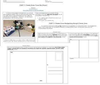
Climate Zones Tissue Box Project
This project is for students to research and create climate zones out of tissue boxes that will be displayed in the classroom for the remainder of the school year!Part 1: Creation of tissue box climate zone.Part 2: Students will "backpack" through their classmates climate zones and describe their experiences!Enjoy!
Subjects:
Grades:
4th - 8th
Types:
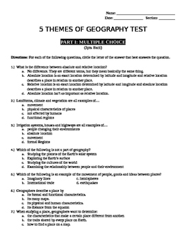
5 Themes of Geography Test
Comprehensive unit test for 5 Themes of Geography. Included are multiple choice questions, short answer, fill in the box and true/false questions as well as an answer key.
Subjects:
Grades:
4th - 7th
Types:
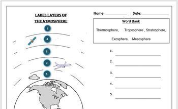
Earth Science Worksheet: Label the layers of the Atmosphere
Earth Science Worksheet: Label the layers of the atmosphereStudents have to label the layers of the atmosphere by looking at the numbers Students can color in the worksheet once they are doneWorksheet aimed at primary level/ high school levelAnswer key included on page 2
Subjects:
Grades:
K - 8th
Types:
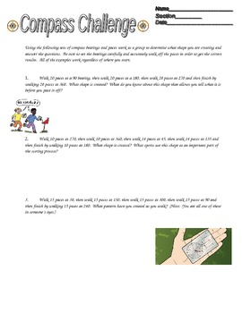
Compass Challenge -- Orienteering Activity
Students practice their orienteering skills. Using a compass and the directions on this sheet, students create designs (if they do the activity correctly!). Students enjoy this activity because they can work in groups (or individually if you choose) and they get outside the classroom!
Subjects:
Grades:
3rd - 12th
Types:
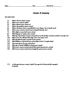
Create A Country Activity ( Great End of the Year Activity )
In this activity, students will "create their own country". Students will answer a variety of detailed questions regarding their country as well as draw out their country's flag & draw a map of their country. Assignment should take 60-130 minutes depending on student ability levels. Color pencils/crayons are required.
Grades:
4th - 12th, Higher Education
Types:
Silk Road in 5 Minutes Video Worksheet
This video worksheet allows students learn about the impact of trade and travel along the Silk Road. The video clip is only five minutes long, but it is packed full of information that will keep your students engaged.This video worksheet works great as a “Do Now Activity” or as a complement to any lecture or lesson plan on the Silk Road. The worksheet helps students understand how the Silk Road changed the world. The video is great for visual learners and helps break up class time so students ar
Grades:
4th - 12th
Types:
Also included in: Mongols and Mongol Empire Lesson Plan
Iqbal by Franceso D'Adamo Workbook
This is an 18 page workbook to use while reading Iqbal by Francesco D'Adamo. The book includes reading comprehension questions that range in difficulty, higher order thinking questions on issues of child labor and social justice, suggestions for ways to get involved in the issue of child labor and a related reading list.
Subjects:
Grades:
4th - 9th
Types:
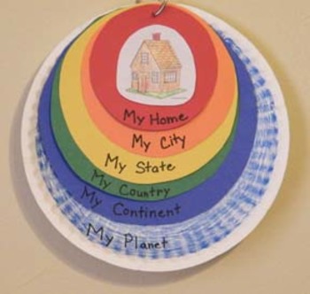
Me On the Map Craftivity Templates
A colorful hands-on craft that helps a child understand their place on the planet: from smallest to greatest sizes - home, city, state, country, continent, and planet. This packet includes all of the templates and each of the 50 states.
Grades:
K - 4th
Types:

Five Themes of Geography Review Guide and Assessment Social Studies
This word document contains two files: A Five Themes of Geography Review Guide and Assessment for the students. The 5 Themes of Geography focuses on Location, Region, Place/Land, Human Environment Interaction, and Movement. These are all important concepts whenever you are learning about any part of the world. Don't miss out on this basic knowledge that students should have.
Subjects:
Grades:
4th - 7th
Types:
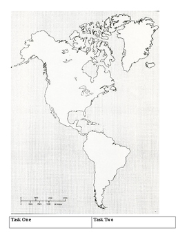
Western Hemisphere Map Hunt
This can be used as an interactive notebook page or as a game. (I use it as both). The students will label a map and answer low level questions about the map.
Usually, I later have them color it. I use the map and questions in our discussion about natural resources, place, and location.
Subjects:
Grades:
4th - 9th
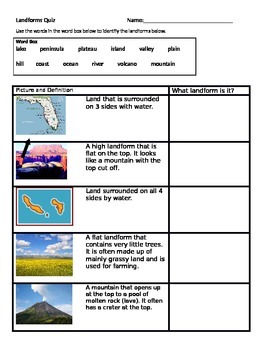
Landforms quiz that is ELL friendly
This is a landform quiz that not only provides the definition of landforms, but pictures as well. This makes is great for ELL learners as well as low level learners who may not be able to read the definition, but can identify the landform by looking at a photograph. This quiz assesses the following landforms: lake, peninsula, plateau, island, valley, plain, hill, coast, ocean, river, volcano, and mountain.
Subjects:
Grades:
2nd - 4th
Types:
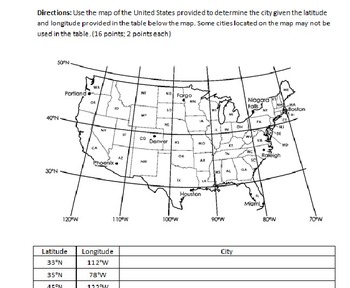
Latitude and Longitude Test (with Study Guide and Answer Key)
Test over latitude and longitude. Study guide includes questions, number of and types of questions on the test. Answer key included. Test itself is three pages, study guide is one page and answer key is three pages.
Subjects:
Grades:
4th - 8th
Types:
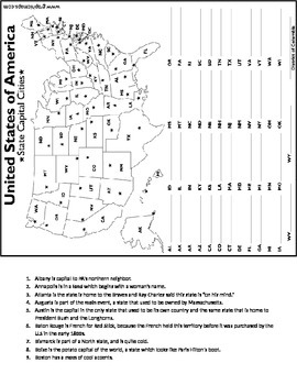
Emergency Substitute Plan 2 - States and Capitals Find
This could prove to be somewhat difficult for an elementary student, but it is very challenging and something very engaging for students of just about any age. Allow them to work in partners after a while.
Grades:
3rd - 12th
Types:
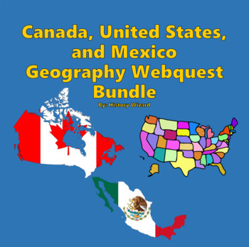
Canada, United States, and Mexico Webquest Bundle
This bundle will help you teach the geography and history of Canada, United States, and Mexico through using a bundle of three webquests. These three webquests are sure to improve any geography or history unit related to North America.Click here to view the website.Each webquest contains at least 20 questions and is a great way for students to learn more about the following topics related to Canada, United States, and Mexico:Important and Fun FactsGeographyPeople and CultureNatureGovernment and
Grades:
4th - 9th
USA States & Capitals Map Activity / Worksheet - Geography / Civics / US History
The USA States and Capitals Map activity is a worksheet for students to practice their states and capitals. The student must label the map with the correct state name and its capital. State names and capitals are listed on the worksheet, in alphabetical order, for student to use while completing the activity.Enjoy!SharhanStop by enagelearnability.com for more resources.Follow Engage Learnability on social media.Facebook: facebook.com/EngageLearnabilityInstagram: instagram.com/EngageLearnabili
Subjects:
Grades:
3rd - 12th
Types:
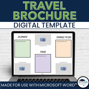
Travel Brochure Digital Writing Template Activity - No-Prep for Microsoft Word
Engage students' curiosity about the world with the Travel Brochure template. They can easily add their research and information to this template, print, and share their information in brochure form! Great addition for a Ontario Grade 2 Social Studies - Global Communities unit.What is included:Microsoft Word editable templateCategory boxes: Climate, Food, Things To Do, LocationAdditional space to include pictures, maps and additional textGet both Microsoft WORD AND Google SLIDES version in this
Grades:
1st - 5th
Types:
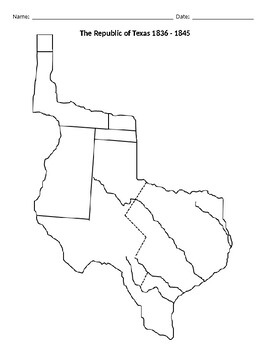
The Republic of Texas 1836 - 1845
This document is a blank outline map of The Republic of Texas from 1836 to 1845. Teachers can go into this editable document and add their own directions.*** ANSWER KEY PROVIDED IS A POSSIBLE KEY. The answers will be determined by how the teacher assigns the map. ***Now available as an EASEL Activity! I'm a certified Easel Seller!
Subjects:
Grades:
4th - 12th
Types:
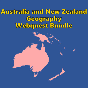
Australia and New Zealand Geography Webquest Bundle
This collection will help you teach the geography and history of Australia and New Zealand through 3 wequests. This bundle is sure to improve any geography or history unit related to Australia and New Zealand.The webquests contain 16 to 36 questions and are a great way for students to learn more about the following topics related to Australia and New Zealand:Important and Fun FactsGeographyPeople and CultureNatureGovernment and EconomyHistoryAnswer sheets are included for the teacher. QR codes a
Grades:
4th - 8th
Showing 1-24 of 3,822 results


