6,409 results
12th grade geography resources for Microsoft Word
Central America and the Caribbean Mapping Activity
This product is a mapping activity on the region of Central America and the Caribbean. Students will label and color 26 different countries and territories as well as draw and label major physical features. When students have completed the map they will then answer 10 questions based on their map.This product also contains a blackline political maps of the region. I typically make the map a 11x17 making it easier for students to label countries and physical features.This is a rigorous map projec
Grades:
6th - 12th
Types:
Also included in: Geography Mapping Activities BUNDLE
Latin America Mapping Activity
This product is a mapping activity on the region of Latin America. Students will label and color 24 different Latin American Nations as well as draw and label major physical features. When students have completed the map they will then answer 9 questions based on their map.This product also contains a blackline political map of Latin America. I typically make the map a 11x17 making it easier for students to label countries and physical features.This is a rigorous map project that makes the stude
Grades:
6th - 12th
Types:
Also included in: Geography Mapping Activities BUNDLE
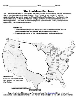
Louisiana Purchase and Lewis and Clark Handout
This is a complete packet on the Louisiana Purchase, and the Lewis and Clark expedition, with attached question worksheet. Students color in a map of the Louisiana Purchase, read background information, and answer questions relating to it. Students also read about the Lewis and Clark expedition, and answer questions for that as well.
Grades:
6th - 12th
Types:
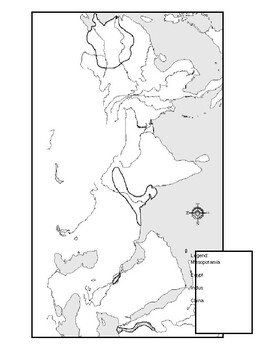
Ancient River Valley Civilizations Mapping Activity Worksheet
This mapping activity is on the Ancient River Valley Civilizations. Ancient River Valley Civilizations Mapping Activity includes explicit instructions on how to complete the map as well as questions based on the map along with knowledge based questions Ancient River Valley Civilizations.Students will label and color different aspects of Ancient River Valley Civilizations such as; cities, seas, important physical features and shade the area for each of the four main River Civilizations. This map
Subjects:
Grades:
6th - 12th
Types:
Also included in: Historical Mapping Activities BUNDLE
Israel-Palestine Conflict in Ten Minutes Video Worksheet
This video worksheet allows students learn about the origins and the continued conflict between Israel and Palestine. The video clip is only ten minutes long, but it is packed full of information that will keep your students engaged.This video worksheet works great as a “Do Now Activity” or as a complement to any lecture or lesson plan on current events, terrorism, or the Middle East. The worksheet helps students understand the current conflict in the Middle East. The video is great for visual l
Grades:
7th - 12th
Types:
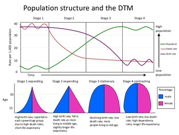
Demographic Transition Model (DTM) Lesson
This product will teach students the basics of how to read, understand and analyze the Demographic Transition Model or DTM. The product has a student note piece along with an activity/worksheet that can be used as an individual assignment or as a cooperative group activity. After students learn how to read the Demographic Transition Model they will answer questions to show their understanding of DTM and how population pyramids work with the DTM.This activity is great tool to introduce or review
Subjects:
Grades:
6th - 12th
Types:
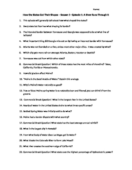
How the States Got Their Shapes Season 1 Episodes 1-10 Video Guides
How the States Got Their Shapes Season 1 Episodes 1-10 Video Guides
The History Channel presents How the States Got Their Shapes. This entertaining video series looks at the United States of America, its history and specifically how each state got its unique shape.
This package contains video guides from episodes 1 through 10 from the series. Buying this package saves your 20% instead of buying all the video guides individually. You can find individual information on each of the episodes belo
Subjects:
Grades:
7th - 12th
Types:
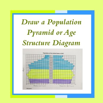
Age Structure Diagram for Biology, APES and Geography-Distance Learning
This quick and easy activity helps students make their own population pyramid (also called an age-structure diagram) using data provided. Creating a pyramid allows students to more easily interpret pyramids/diagrams on exams or assessments. An answer key is included.
Subjects:
Grades:
9th - 12th, Higher Education
Types:
Also included in: AP Environmental Science Unit 3 Bundle
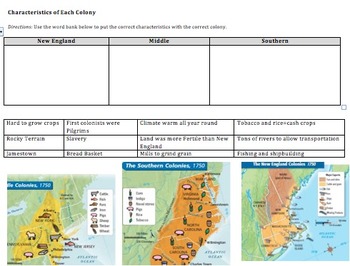
Compare&Contrast 13 Colonies (New England, Southern, & Middle) Pamphlet Project
This is an amazing lesson/project to help students differentiate between the 3 groups of colonies--New England, Middle, and Southern. Student's final project will be a pamphlet where each fold explains a different group of colonies.
Included in this lesson:
1) Do now--naming the 13 colonies on a map, latitude and longitude fill in the blank, and a determining century question.
2) Graphic organizer where students have to put 12 different characteristics into the correct box (New England, South
Grades:
6th - 12th
Types:
CCSS:
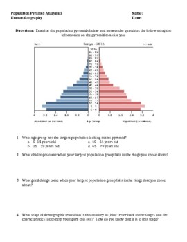
Population Pyramid Analysis Activity (Demographic Transition Model) Version 2.0
I use this activity after teaching both the Demographic Transition Model (stages of demographic transition) and the basics of population pyramids. Taking data from the CIA world fact book site, I have located 4 very different population pyramids that students analyze, answer questions about and make predictions into the future understanding much can be told about a nation looking at population demographics. This document could be used as a formative or summative assessment. Additionally, this
Grades:
8th - 12th
Types:
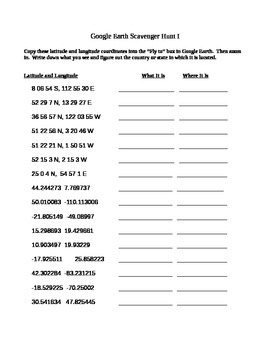
Google Earth Scavenger Hunt
This is a fairly straightforward Scavenger Hunt to use with Google Earth. Students simply type in the coordinates and record their findings. This is a fun thing to do if a student is done with their work early or for a fun Friday activity. This usually takes students about 30 mins to complete. Now comes with key!
If you do not have Google Earth installed, you can now download a free plug-in for Chrome here:
https://www.google.com/earth/explore/products/plugin.html
UPDATE: As Google begins
Grades:
6th - 12th
North Africa, Southwest Asia & Central Asia Mapping Activity
This product is a mapping activity on the regions of North Africa, Southwest Asia & Central Asia. Students will label and color 26 different nations as well as draw and label major physical features. When students have completed the map they will then answer 10 questions based on their map.This product also contains a blackline political map of of the region. I typically make the map a 11x17 making it easier for students to label countries and physical features.This is a rigorous map project
Grades:
6th - 12th
Types:
Also included in: Geography Mapping Activities BUNDLE
United States Mapping Activity
This product is a mapping activity over the United States of America. Students will label the 50 states as well as draw and label major physical features. When students have completed the map they will then answer 6 questions based on their map.This product also contains a blackline political map of the United States of America. I typically make the map 11x17 making it easier for students to label and draw the physical features.This is a rigorous map project that makes the students learn the 50
Grades:
6th - 12th
Types:
Also included in: Geography Mapping Activities BUNDLE
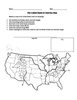
Geography: United States Map Exercise
This activity is a map of the United States containing some landforms and physical features as well as political state lines. Students are asked to label landforms like mountain ranges, rivers, lakes, and bodies of water as well as the state names. Students are also asked to create a map title and a legend to show what colors they used to color in bodies of water and mountain ranges.
Subjects:
Grades:
3rd - 12th, Higher Education
Types:
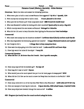
Panama Canal Video Review: Modern Marvels
This assignment has students watch Modern Marvels (Panama Canal) and answer questions on the video.
There is also an answer sheet that goes along with the video.
This video is great for Middle and High School.
Grades:
6th - 12th
Types:

Human Population Virtual Lab with updated links
For AP Environmental Science, AP Human Geography and Biology classes.Students use two ESRI websites with interactive maps to discover trends in population size, population density, infant mortality, life expectancy, age structure diagrams (population pyramids), doubling time and population growth.Many answers are open-ended which prevents copying of work as student choose countries in the world as examples from the data.4 pages for student worksheets. 5 pages for answer key.
Subjects:
Grades:
9th - 12th, Higher Education
Types:
Also included in: AP Environmental Science Unit 3 Bundle
The Kite Runner - Movie Guide
This movie guide is made up of 45 questions which will help your students to stay focused and better comprehend the film "The Kite Runner." The film chronicles the history of Afghanistan from the invasion of the Soviets to contemporary times.
Grades:
7th - 12th
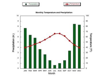
Climographs Lesson and Activity
This product teaches students how to read and analyze climographs. Then this product has students create their own climograph from the data provided. Finally, students analyze three climographs to answer questions. This is a create lesson that can be taught in one period and/or used for homework.Check out the preview to see this excellent product.Thanks for stopping by!You may also be interested in these lessons:Population Pyramids Lesson and ActivityDemographic Transition Model (DTM) Lesson
Grades:
6th - 12th
Types:
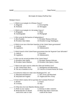
8th Grade US History Pretest/Posttest
This is a pretest for US History until the 20th century. It is a 50 question, multiple choice test and includes an answer key. If you would like to give this test through Google Forms, let me know and I will share it with you!
Subjects:
Grades:
7th - 12th
Types:

AP Human Geography Unit Slides and Exams Bundle
Created by an AP Human Geography teacher. This resource is designed as an overview of the 7 units from CollegeBoard's AP Human Geography course with slides and an unit exam.This resource includes the following products for each of the 7 units from the updated Course and Exam Description (2020):PowerPointCan be used for new teachers looking to grasp the concepts of a new curriculum, for seasoned teachers to review content prior to the exam, or even for students and parents to have as a visual rev
Grades:
9th - 12th
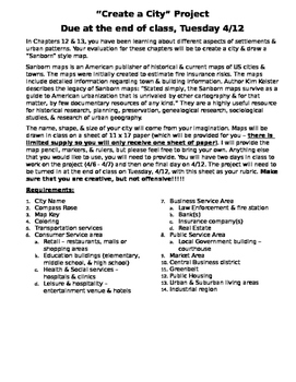
AP Human Geography - Create a City Project
Project correlates to Services and the Urban & Rural Land Use Chapters. Students are instructed to create their own city map and include elements of different service sectors. (Due Date information and work time in class has been left in the assignment, but this can be updated to your needs
Grades:
9th - 12th
Types:
Create Population Pyramids!
OverviewStudents will understand how to read a population pyramid by creating one! This activity includes two templates to help your students create their own population pyramids, as well as population data for four countries from the U.S. Census Bureau's International Database. The activity includes blank cards if you or your students would like to create additional or specific population pyramids. Instructions are included to help navigate the U.S. Census Bureau's website in order to obtain th
Grades:
6th - 12th
Types:
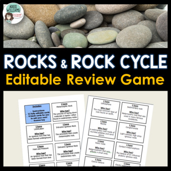
Rocks & Rock Cycle Review Activity (Editable)
TYPES OF ROCKS and THE ROCK CYCLE - A fun and engaging activity to review the concepts related to the Rock Cycle and Igneous, Sedimentary, and Metamorphic Rocks. Although often used with elementary students, my middle school and high-school-aged students have just as much fun playing "I Have, Who Has"! Includes 32 game cards, instructions, and a template for you to add your own terms and concepts. Includes a full answer key. This document CAN be EDITED in MS WORD.**This item is also included
Subjects:
Grades:
6th - 12th
Types:
Also included in: Rocks and Minerals - Types of Rocks, Rock Cycle, Minerals and More!
Israel Palestine Conflict Complete BUNDLE
Enrich your students' understanding of this complex geopolitical issue with 19 resources. The Israel-Palestine Conflict Resource Bundle provides history lessons, current events materials, multimedia analyses, and more to teach about all perspectives in a balanced way.BONUS: Includes Unit Guide to Organize Resources.This bundle includes:History Slideshow Lesson, 900 BCE to 2023: A 16-slide history of the region.2023 Current War Slideshow Lesson: A 24-slide lesson briefly covering the history of t
Grades:
9th - 12th
Types:
Showing 1-24 of 6,409 results


