756 results
4th grade geography interactive whiteboards
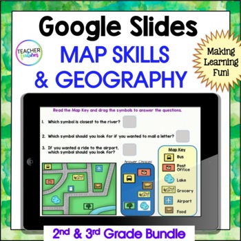
MAP SKILLS US Geography GOOGLE SLIDES & BOOM CARDS 2nd & 3rd Grade Bundle
Are you a 2nd or 3rd grade teacher looking for an exciting way to teach and review map skills & geography? This interactive bundle includes both Google Slides and Boom Cards, so there are plenty of activities to keep them entertained. They’ll learn all about landforms, the equator, the prime meridian, hemispheres, latitude and longitude, continents, U.S. regions, world oceans, the compass rose, cardinal directions - all with lots of vocabulary thrown into the mix. If you want to excite your
Grades:
2nd - 4th
7 Continents Geography Unit BUNDLE for Upper Elementary
This geography unit is both fun and meaningful for the end of the year! Introduce your students to new cultures with the discussion guide, recording packet, suggested crafts, AND teacher lesson plans. Update April 2021: This product has a brand new look AND is now compatible with Google Slides!Your download gets you:1. A 64-page discussion guide in PPT and Google Slides format. The 7 lessons introduce each of the continents with facts, colorful pictures, graphs, and maps.2. A 10-page student rec
Subjects:
Grades:
3rd - 6th
CCSS:
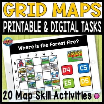
Coordinate Grid Maps Digital Map Skills PRINT and DIGITAL Geography Activities
Students will practice reading and finding locations on community maps using Coordinate Grid Maps. These map skill teaching and learning activities are fun NO PREP DIGITAL and PRINTABLE activities that give you a quick way to check for understanding after teaching how to read coordinate grid map skills. You DO NOT have to have a Boom Learning Account to use this resource!Click on PREVIEW to try this deck out on the Boom Learning Site!This Resource Includes:20 Printable TpT Easel Ready Task Cards
Grades:
2nd - 4th
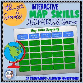
Map Skills Jeopardy Game (intermediate grades)
Engage students in a fun and interactive Jeopardy game reviewing key map skills in the area of 4th grade Geography found in the new Social Studies learning standards! 25 questions covering relative direction, types of maps, map scale, map key, compass rose, continents and oceans and much more are arranged in a colorful game board! Topics and point values are linked to corresponding questions and answers in an interactive fashion that is ideal for smart boards, projectors, or even a computer mo
Grades:
3rd - 6th
Types:
Also included in: 4th Grade Social Studies Super Bundle of Units for Ohio Standards
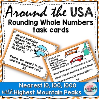
Rounding to Nearest 10 and 100, 1000 Round Tens, Hundreds, Thousands Task Cards
Go around the USA with these Number and Operations in Base 10 task cards that have students rounding the highest mountain peaks in each state. Students round to the nearest 10, round to the nearest 100, or round to the nearest 1,000 to practice 3.NBT.1 using word problems and engaging real-world math connections.My themed sets of word problems use real world themes that you can use year-round, no matter the season or holiday around the corner! (These would also be great during test-prep season
Subjects:
Grades:
3rd - 4th
Also included in: Understanding Place Value Number Operations in Base 10 Task Cards BUNDLE
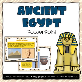
Ancient Egypt Powerpoint
**Please Note: this product is also part of the Ancient Egypt Bundle. If you have already purchased that product then you do not need to purchase this one. Bundle and Save!This file includes a 20-page powerpoint presentation featured around the topic of Ancient Egypt. Topics included are:- Where is Egypt?- Land in Egypt- Human Resources- Architecture- Government- Beliefs- Inventions- Adaptations- Contributions- Changes over time (from beginning, greatest period of influence, and today)Many pictu
Grades:
2nd - 4th
Also included in: Ancient Egypt PowerPoint & Interactive Notebook Bundle
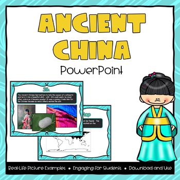
Ancient China Powerpoint
**Please Note: this product is also part of the Ancient China Bundle. If you have already purchased that product then you do not need to purchase this one. Bundle and Save!This file includes a 20-page powerpoint presentation featured around the topic of Ancient China. Topics included are:- Where is China?- Land in China- Human Resources- Architecture- Inventions- Adaptations- Contributions- Changes over time (from beginning, greatest period of influence, and today)Many pictures and examples are
Grades:
2nd - 4th
Also included in: Ancient China PowerPoint & Interactive Notebook Bundle
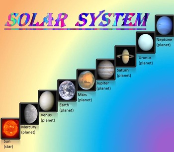
Solar System | Planets | PowerPoint | The Sun | The Moon | Distance Learning
Solar System | Space Quiz | Earth's orbit | Planet ActivitiesThe zip file contains:Solar System - Interactive slide show- inner planets: Mercury, Venus, Earth, and Mars; - outer planets: Jupiter, Saturn, Uranus, Neptune;- Earth's orbit- The Sun- The Moon - Space Quiz- AnswersThis is a beautiful and informative 30 slide PowerPoint presentation and 22 pages PDF.I've given you 4 slides to look at in the Download Preview – take a look! AstronomyPlease note that this package is also part of the bu
Subjects:
Grades:
PreK - 8th
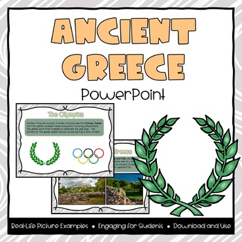
Ancient Greece Powerpoint
**Please Note: this product is also part of the Ancient Greece Bundle. If you have already purchased that product then you do not need to purchase this one. Bundle and Save!This file includes a 18-page powerpoint presentation featured around the topic of Ancient Greece. Topics included are:- Where is Greece?- Land in Greece- Human Resources- Architecture- Government- Beliefs- Olympics- Adaptations- Contributions- Changes over time (from beginning, greatest period of influence, and today)Many pic
Grades:
2nd - 4th
Also included in: Ancient Greece PowerPoint & Interactive Notebook Bundle
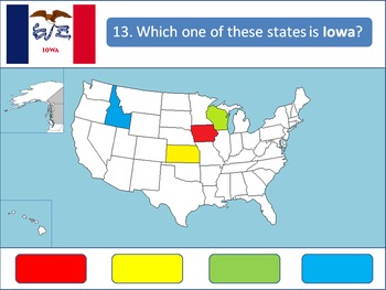
Powerpoint Game: United States Geography
A 50-question, interactive quiz to test your students' knowledge on the fifty states of the United States of America. Simply click on the corresponding color to make your guess! Each of the state's respective flags are shown for additional learning about the USA.This product is designed specifically to be engaging for your students. Your students will love the fun sound effects and the opportunity to get up and walk around in order to tap the on-screen buttons.This product is best used with a Pr
Grades:
4th - 12th, Higher Education
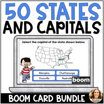
US States and Capitals Boom Cards - All 50 States - Digital Test Prep Activity
These NO PREP Boom Cards will help students practice naming and memorizing the states and capitals of all 50 states. Each card has the state colored in and labeled within the United States map to help students learn the location as well. Boom Cards are my favorite resource for independent practice, test prep, and whole group review. Students love them too. They never complain about having to do Boom Cards! Try a small sample❤️HERE❤️and see why everyone LOVES Boom Cards!Boom Cards are self-checki
Subjects:
Grades:
3rd - 5th
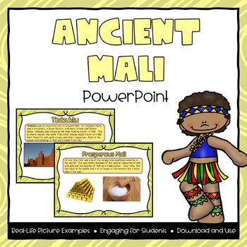
Ancient Mali Powerpoint
**Please Note: this product is also part of the Ancient Mali Bundle. If you have already purchased that product then you do not need to purchase this one. This file includes a 15-page powerpoint presentation featured around the topic of Ancient Mali. Topics included are:- Where is Mali?- Land in Mali- Human Resources- Timbuktu- Government (Kings)- Griots- Adaptations- Gold and Salt- Changes over time (from beginning, greatest period of influence, and today)Many pictures and examples are included
Grades:
2nd - 4th
Also included in: Ancient Mali PowerPoint & Interactive Notebook Bundle
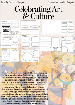
Family Culture Project: Activities, Resources, Google Slides and Lessons
The Family Culture Project offers an engaging exploration of students' ancestral roots, inviting them to delve into the rich tapestry of their family histories and original countries. Through interactive activities and research, elementary and middle school participants embark on a journey of discovery, celebrating cultural diversity and fostering a deeper understanding of their heritage. With hands-on projects and presentations, students not only learn about their own backgrounds but also gain
Subjects:
Grades:
1st - 8th
Types:
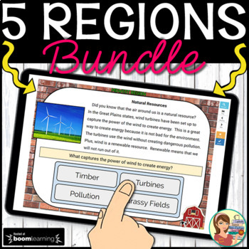
5 U.S. Regions Digital Boom Cards BUNDLE
These interactive digital task cards on the BOOM Learning website cover all 50 states in the five regions of the United States. WHAT IS INCLUDED WITH EACH REGION? Students label the states using a drag and drop map. Non-fiction informational text cards explore the region’s history, climate, land, economy, natural resources and landmarks with reading comprehension questions using multiple choice answers.Students name each state's capital with multiple choice options. Students list each state's
Grades:
3rd - 5th
CCSS:

Coral Reef Powerpoint
Ever get tired of introducing things from a text where the pictures are not big enough for everyone to see... This is the perfect way to solve that problem! Use this as a great supplement to your oceans unit and help introduce the coral reef! With the powerpoint background being black, the colors in the pictures really pop!
Grades:
K - 6th
Map Skill Jeopardy Game using Google Slides
Use Google Drive to access my INTERACTIVE Map Skill Jeopardy Game in Google Slides! This fun & engaging activity will have your 3rd-5th grade students actively reviewing map scale, relative directions, map features, types of maps, continents & oceans, and using the compass rose. This is a great activity that can be used in a face to face classroom on a whiteboard or in a remote classroom via Zoom! What is included?I have used the Google Slide format to create a Jeopardy style game review
Subjects:
Grades:
3rd - 6th
Types:
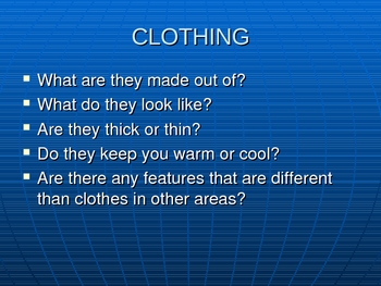
Ways People Adapt to Their Environments
Sixteen slide powerpoint detailing how people adapt to their environments. Covers homes, clothing, and transportation. Shows enviroments such as the desert, tundra, and rainforest. Colorful pictures that will engage the students.
Grades:
K - 8th
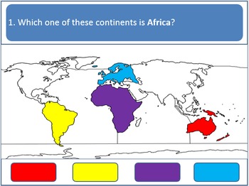
Powerpoint Game - Continents and Oceans (Earth Geography)
A 12-question, interactive quiz to test your students' knowledge on the Earth's continents and oceans. Simply click on the corresponding color to make your guess!
This product is designed specifically to be accommodating and engaging for your students. Your students will love the fun sound effects and the opportunity to get up and walk around in order to tap the on-screen buttons. It is also designed to accommodate students with red/green color blindness.
This product is best used with a Prome
Grades:
K - 5th
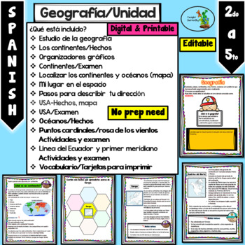
Mi planeta Continentes Oceanos Rosa de los vientos Primer Meridiano Editable
Cuando descargue el documento va a encontrar diferentes PowerPoints y un PDF:1- Editable y PDF (hojas de trabajo) listas para imprimir.2- No editable sin que puedan mover las imágenes3- Totalmente editable (para que lo ajuste a sus necesidades).¿Qué está incluído?Estudio de la geografíaLos continentes/HechosOrganizadores gráficosContinentes/ExamenLocalizar los continentes y océanos (mapa)Mi lugar en el espacioPasos para describir tu direcciónUSA-Hechos, mapaUSA/ExamenOcéanos/HechosPuntos cardin
Grades:
2nd - 4th
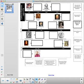
California Explorers Timeline
This hand-out is a cut and paste activity. It covers CA History standards 4.2.2 and 4.2.3. Students cut out descriptions of various European explorers and paste them into a timeline. Explorers include: Christopher Columbus, Hernado Cortes, Juan Rodriguez Cabrillo, Sir Francis Drake, Sebastian Vizcaino, Vitus Bering, Gaspar de Portola, Junipero Serra, and James Cook.
Included with download is a PDF for the cut and paste activity and a Notebook file that can be displayed using a projector or a
Subjects:
Grades:
3rd - 5th
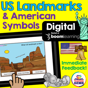
US Landmarks and American Symbols Digital Boom Cards™ Distance Learning
Students will learn to identify famous US landmarks and American Symbols with these fun interactive digital Boom Cards™. Students are given three pictures and asked to identify the correct landmark or symbol. There are 24 boom cards included in this product.Also included in this download is a "Getting Started with Boom Cards Quick Guide Tutorial" that will walk you through how to set up an account, how to set up a classroom, how to assign decks to students, how to play decks and how to monitor s
Grades:
3rd - 5th
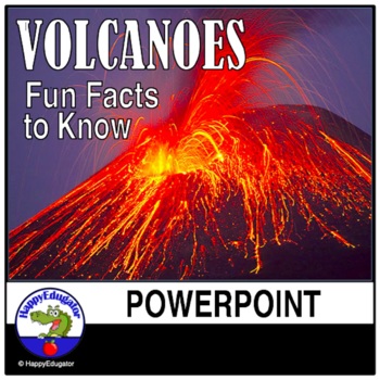
Volcanoes PowerPoint - All About Volcanos Writing Activity and Easel Assessment
Students will enjoy learning about volcanoes with this 30-slide animated PowerPoint. Informative text on volcano types and shapes, how and what is an eruption, how eruptions are measured, the difference between lava and magma, fun facts, famous volcanos, types of igneous rocks, and a vocabulary terms to know reference sheet. Includes photos of volcanos like Mt. Rainier and Mt. Kilauea, which help students understand the difference between a stratovolcano and a shield volcano. Includes a video l
Subjects:
Grades:
3rd - 6th
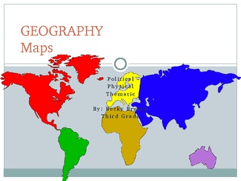
Geography - Maps (Physical, Political, Thematic)...and Their Elements
Physical Maps, Political Maps, and Thematic Maps are described along with an image for students to see the differences between the types of maps. In addition to a brief introduction to these three maps, students are introduced to map elements, such as The Alpha-Numeric Grid, Titles, The Compass Rose, Map Keys, Symbols, and Scales...through a brief description and image. The presentation concludes with some videos and games that will test your students' knowledge of maps.
If you like this produc
Subjects:
Grades:
2nd - 4th
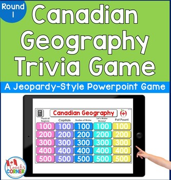
Canadian Geography Trivia Game
Do you need to get your students excited while learning about Canadian provinces, territories, and regions? This 25-question trivia activity is a Jeopardy-style game that lets students work in up to 5 teams as they demonstrate their knowledge of the geography of Canada! Note: This is a PowerPoint activity.How Resource Can Be Used:whole class activityindependent review activityopening activity to your Canada unitreview activity at end of your Canada unitGame Categories:Physical RegionsCapital
Subjects:
Grades:
4th - 7th
Showing 1-24 of 756 results

