25 results
4th grade geography resources for Microsoft Excel

Regions of Texas Poster
This basic poster of the Regions of Texas is editable and can be scaled to fit whatever size you need. Directions for scaling the poster are included. This is a great resource for 4th and 7th grade Texas History classes or any Texas elementary classroom.
Grades:
K - 7th
Types:

Plan a Family Vacation--$5,000 Budget
Students will have fun with this real life budgeting lesson as they plan their very own family vacation. Students must budget for the family members that live in their household, and must stay with a $5,000 limit. There is a Presentation to discuss all the rules and an excel sheet to help with their totals. As they plan their trip students can create a PowerPoint or a Google Slide that documents their itinerary. The presentation needs to include all expenses and their total cost of the trip
Subjects:
Grades:
4th - 12th
Types:
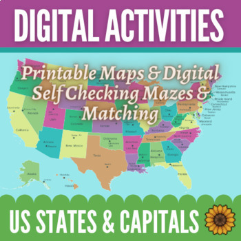
Learning Capital Cities of US by Regions Maps & Activities - Digital and Print
Make learning the states and their capitals easy and fun! This bundle includes 12 printable maps of the entire United States as well as maps of the regions by themselves. There are also 8 digital, self-correcting activities to help your students practice connecting the states with their capitals. Students love the colorful matching and maze activities to learn their capitals! You can use the maps in any way you would like. There are fully labeled maps as well as blank maps with stars in the loca
Subjects:
Grades:
4th - 6th
Types:
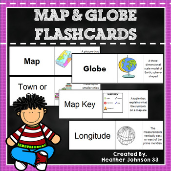
Map and Globe Flash Cards
Thirty-eight Map and Globe flash cards. These flash cards include words such as map, globe, atlas, longitude, latitude, map key, symbol, equator, hemisphere, island, cartographer, capitol, town/city, country, etc. Each definition has a picture (mostly bright and colorful) which makes it fun and helps visual learners. Kids can play memory, match the words/definition with a partner, use it as a center, or work independently. They are in an excel document and can be printed on cardstock or regular
Subjects:
Grades:
1st - 5th
Types:
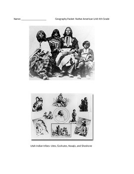
Native American Unit 4th Grade
This packet is focused on the Utah Core Curriculum for geography. It describes each main native american group that was based in Utah. There are questions after each lesson.
In order to print this correctly, you must open the file, then download it. This is an excel document. Once you download it, it will print correctly, and not cut off the pages. If you have questions, please e-mail me.
Subjects:
Grades:
3rd - 5th

The Amazing Race in Microsoft Excel Digital
Students race across the USA using websites to find clues. They use websites also to track mileage, cost, and time to see who can get to the end the fastest! This is a fun way to have students computing totals and averages in Excel.Making Excel fun for Students!Other Excel LessonsSherlock Holmes Mystery in Microsoft Excel-The Race Case Excel Autosum and Sorting – A Powerpoint Presentation Created by CC Fisher
Grades:
3rd - 6th
Types:
Also included in: Microsoft Excel YEARLY Bundle Digital
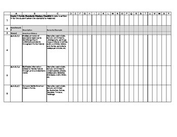
Fourth Grade FL Social Studies Mastery Checklist
Fourth Grade FL Social Studies Standards Mastery Checklist is so you can track which standards you have covered and dates of when your students have mastered those standards. It's an excel spreadsheet and set up to fit 22 students. It contains all the Florida Social Studies Standards and examples for teaching.
Grades:
4th
Types:

US States and Capitals Quiz - Randomly Generated Questions
**Billions of quizzes in one simple and easy to use file!**
A quick and easy way to test knowledge of US States, this Excel file will enable you to instantly produce a quiz containing 20 random questions on US States, their Capital Cities and State Abbreviations.
All you need to do is open the file in Excel and a new quiz will be automatically produced together with an answer sheet, ready for you to print.
If you wish, you can press F9 on your keyboard to refresh the sheet and produce a new s
Subjects:
Grades:
1st - 5th
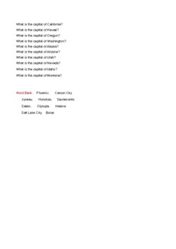
Western States Pixel Art
Here is a Pixel Art activity to help students learn about the 10 Western States- California, Hawaii, Alaska, Oregon, Washington, Idaho, Nevada, Arizona, Montana, and Utah. Students will answer 10 questions, and each correct answer will reveal a part of a drawing that relates to the Western States. This product can be purchased by itself or part of a bundle with a Western States Escape Room activity as well as a Western States Computer Graphics activity. I am offering this product at no cost to s
Subjects:
Grades:
4th - 12th
Types:
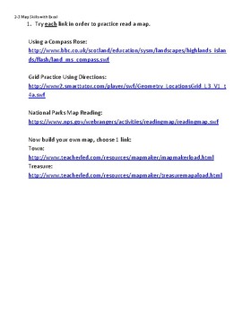
Map Skills Web Quest and Excel Practice: Technology Lesson
Students use Microsoft Excel and selected websites to learn and apply information about the maps. They are able to study social studies while practicing saving documents, formatting cells, copy and paste functions, fill color, grid lines, clip art and clicking a link from a PDF or word document.
I usually project the document for the students to see as I go over each step. To easily access the links and have the directions at the children's fingertips, I also open the document on each scree
Grades:
2nd - 5th
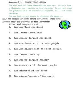
Geography Worksheet
This is a basic geography worksheet for students to discover answers about the world in which they live.
Subjects:
Grades:
3rd - 5th
Types:
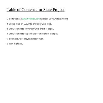
State Projects Excel Tabs
This is an excel state project. There is the first sheet which has instructions for the project, the second thru sixth sheets are various states, VA, CA, NY, TX, and FL. Very easy to copy and paste into new sheets for different states.
Grades:
1st - 6th
Types:

Explorers Process Grid Worksheet
Use this process grid for students to research explorers. They could work in expert groups, partners, or as individuals to research and fill in the grid.
Grades:
4th - 6th
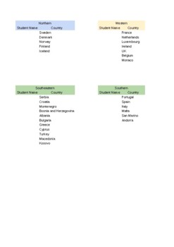
European Research Project-Country Assignments
This document is one part of a research project where students select a country in Europe, research it, and design a shoe that people in that country would want to purchase. This document is for teacher use so students can select their country of choice without overlaps.
Subjects:
Grades:
4th - 9th
Types:
Also included in: European Research Project-Shoe Design Project

State Writing Prompt
Students can write about the state they live in. It can work on expository writing and research. Prompt is set up like a testing writing prompt so students can get used to the testing format.
Subjects:
Grades:
2nd - 6th
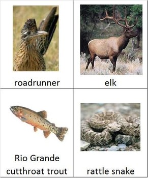
Animal Groups from New Mexico
These 82 cards are of animals typically found in New Mexico, but they are useful for anyone teaching animal groups. The cards can be sorted into: Mammals, Birds, Insects, Amphibians, & Reptiles. Some non examples like a spider and a snail are also included. This document was created by Rachel Fuchs, and prints on 6 pages of paper.
Subjects:
Grades:
2nd - 5th
Types:

Oklahoma 4th Grade Social Studies Standards according to Unit
This is the Oklahoma 4th grade Social Studies Standards.
I have broken the entire year down into 4 Units
1. The Pre-requisite
2. Regions
3. Explorers
4.Native Americans
I put each standard with the corresponding unit and what writing assignments i use in my class.
This has saved me so many times having the standards laid out like this. Hope it helps you and saves you some time.
Subjects:
Grades:
4th

Major U.S Rivers Worksheet and answer key
A worksheet on the placement of the US rivers on a colorfull map. This is done in Exel and can be posted on the Promethean board as well.
Subjects:
Grades:
4th
Types:
U.S. Capitals Student-Created Bingo Board Game
This activity introduces students to a Microsoft Office product that they may never have had experience with. They will follow steps that are outlined in a document to create a 25-space Bingo Board that can then be used for United States Capitals Bingo.
Through a series of carefully outlined steps, students will work with the program Microsoft Excel, and will end up with a product that they can be proud of, and at the same time will have gained some experience with the Excel program.
After s
Grades:
4th - 6th
Types:
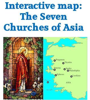
Interactive map of churches in Revelation 2 & 3
Interactive map of the 7 churches named in Revelations 2 and 3.
Mouse over the red triangle next to the circle locating the city and the corresponding scripture reference will pop up.
Mouse over the red triangle at the end of a city name for historical and modern information about that city.
Check out other geography and free products
World Geography: Human Impact Power Pont
Map of Paul's journeys freebie
Andean Mountain Geography 53 slide Power Point
Regions of the U. S. 63 slide Power Point
Subjects:
Grades:
4th - 12th, Adult Education
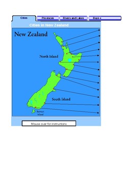
New Zealand Mapping activity
Excel workbook with multiple sheets with maps for cities, lakes, rivers etc. Self marking.
Subjects:
Grades:
2nd - 5th
Types:
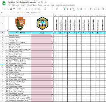
U.S. National Park Reward Tag Organizer
This is the organizer that goes with my National Park reward tags. This google sheet helps keep track of which students have which badges. Instructions on how to set it up is included with the reward tags.The product that this organizer is for is: U.S. National Park Classroom Reward Tags
Subjects:
Grades:
3rd - 7th
Types:
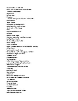
List of 51 Social Studies Websites
51 social studies websites that I have used or want to use in my geography and U.S. history classes. The list includes a brief description of each website.
Subjects:
Grades:
4th - 9th
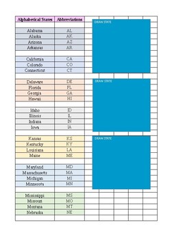
States and Abbreviation Game
Simple way to learn our great 50 States! Cut out and get to work!
Subjects:
Grades:
2nd - 7th
Showing 1-24 of 25 results


