203 results
4th grade geography resources for SMART Notebook
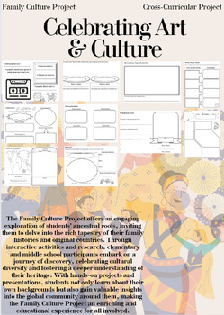
Family Culture Project: Activities, Resources, Google Slides and Lessons
The Family Culture Project offers an engaging exploration of students' ancestral roots, inviting them to delve into the rich tapestry of their family histories and original countries. Through interactive activities and research, elementary and middle school participants embark on a journey of discovery, celebrating cultural diversity and fostering a deeper understanding of their heritage. With hands-on projects and presentations, students not only learn about their own backgrounds but also gain
Subjects:
Grades:
1st - 8th
Types:
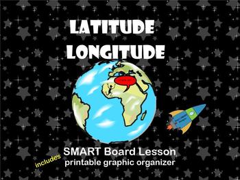
Latitude and Longitude SMARTBoard Lesson
Let Mr. World Traveler teach your students about latitude and longitude in this interactive SMART Board lesson. 20 Pages that includes instruction based on these vocabulary terms: grid, latitude, longitude, degrees, parallels, meridians, hemispheres.
This lesson begins with a review of the seven continents and hemispheres and ends with practicing finding locations of latitude and longitude on a US Map and a 6 question exit quiz.
It also includes a link to location finder, and a graphic organiz
Subjects:
Grades:
2nd - 4th
Types:
US States and Capitals SMARTboard Activities
This SMARTboard unit contains 18 slides. Each of the five US regions has 3 slides: It begins with an introduction page with a US Map and movable states of that region. Next is a scrambled state slide where students arrange the states of that region. The last slide is a click and reveal to practice the capitals.
This unit is great for social studies class and to use in small groups or individually to help students learn their US state and capital.
Subjects:
Grades:
3rd - 5th
Types:
All About Landforms - Complete SMART Notebook Smartboard Lesson
This HUGE lesson has everything you need to teach landforms to your students. It includes over 54 pages of interactivity, along with printable PDFs (embedded) for formative assessment, reinforcement, and extra practice. Tons of voting along with graphic organizers, activity containers, games, and online resources. 16 popular landforms are covered including: river, pond, glacier, mountain, volcano, plain, plateau, island, & more! Colorful & fun!
Be sure to follow my blog for tons of fr
Grades:
2nd - 6th
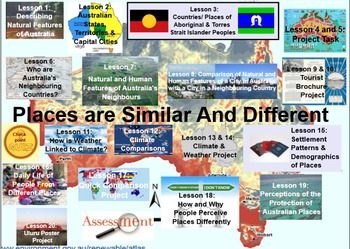
Places Are Similar and Different. Stage 2 Geography- 2 terms plus assessments
My store- The Right Stuff, is primarily stocked with units which are used on the Smart Board. They are SMART NOTEBOOK files, and absolutely REQUIRE you to have this program available to you.This unit covers 2 full terms lesson material strictly adhering to the Australian Curriculum (NSW) outcomes and indicators for this topic. You will find all information, worksheets, and web links included, as well as two written assessments that students can do by simply answering questions from the screen in
Subjects:
Grades:
3rd - 4th
Longitude and Latitude SMART Notebook Activity
Students complete a SMARTboard activity using lines of longitude and latitude. I used this after showing students a clip about what longitude and latitude are in a station. These questions prompt students to use longitude and latitude to find states and continents. Students will need to use maps from an atlas to complete this activity.If you like this activity, check out my Acids and Bases Litmus Lab.Acids and Bases Lab♦ Interested in more of my RuthAnn Lane resources and products?Check out my w
Grades:
3rd - 6th
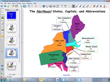
Northeast Region Map and Smartboard Activities
These Smartboard slides were created to help students who are studying the regions of the United States to learn the states, capitals and abbreviations. Students can label the maps. Also, the last slide focuses on key terms of the history, culture, geography, climate, agriculture, and manufactoring of this region.
Subjects:
Grades:
3rd - 6th
Types:
Also included in: REGIONS OF UNITED STATES SMART BOARD SLIDES *BUNDLE/ EDITABLE
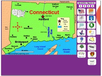
All About Connecticut
PLEASE NOTE: This file needs Notebook Software in order to successfully open. In accordance with TPT policies I am not authorized to issue any refunds.Adobe has discontinued Flash Player and removed all support for Flash in 2020. As a result, Adobe Flash Player is no longer compatible with recent versions of SMART Notebook (version 17 and later for Windows, version 16.2 and later for Mac). Modern versions of web browsers no longer allow Flash objects to be played. Although SMART Notebook autom
Subjects:
Grades:
2nd - 5th
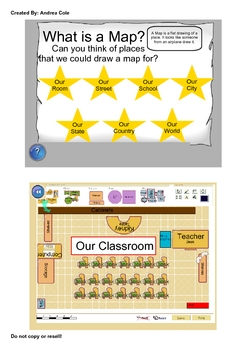
Early Map Skills
This UNIT contains Smartboard lessons that are geared towards children who are just learning basic map skills. Some key concepts covered are the following.
Introduction to a variety of maps, Early maps, Parts of Maps, Directions (N,S,E,W), Compass Rose, Map Symbols, Map Keys, Scale, Standard and Metric Scale Measurements, Map Titles, Map Labels, Types of Maps, Globes, The Equator, Hemispheres, Landforms, Relief Maps, Product Quilts. This Unit also includes printable worksheets available in PDF
Grades:
1st - 4th
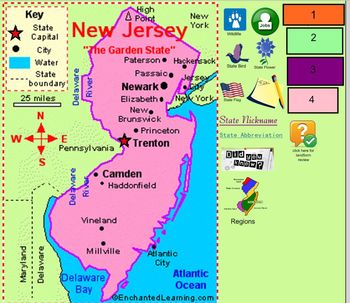
All About New Jersey
This is a smartboard file about New Jersey. It is geared toward lower elementary, 2nd, 3rd, maybe 4th. It gives a basic overview of the state. Information included: state nickname, state abbreviation, wildlife, state bird, state flag, state flower, regions, landforms, fun facts, jobs, state capital, and things to do or see in the state. There are directions on some of the pages. It can be modified to adjust to your needs. It is colorful and simple in its language. It can be used in a study of t
Subjects:
Grades:
2nd - 4th
Types:
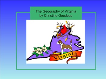
Virginia Studies SMARTboard Lesson - VA Geography - VS.2
**Updated to the NEW Virginia SOLS (2016)**
This is a 26 page instructional SMART Board lesson that covers Virginia Studies SOLs VS.2 a,b,c - the entire Virginia Geography Unit. This lesson is full of interactive activities, video clips, websites, pictures and more!
This SMARTboard usually takes me about 2 -3 weeks to teach. It is aligned perfectly to my interactive notebook on this topic that is also listed here on TPT. You can find it here: https://www.teacherspayteachers.com/Product/Virgin
Grades:
3rd - 8th
Types:
Learn Directions & The Compass Rose SMART Notebook Lesson
With this Smart Notebook lesson, your students will learn where the Cardinal and Intermediate directions are located on a Compass Rose.
This flipchart is highly interactive with containers, interactive games and activities, plus an assessment using your response voters.
Your students will love learning directions with this Smartboard lesson. Enjoy!
YOU MUST HAVE SMART NOTEBOOK SOFTWARE ON YOUR COMPUTER IN ORDER TO USE THIS FILE! Enjoy!
Grades:
1st - 5th

Urban, Rural and Suburban Jeopardy Game
This Jeopardy Game features 5 questions for each of its 4 catoegories- Urban Communities, Rural Communities, Suburban Communities and Communities in general.
Once students have learned about each of these communities, they can have fun testing their knowledge by answering these questions on this interactive SmartBoard Game. Students can come up to the SmartBoard and click on the question that they would like to answer. Questions get more challenging as you go from $100 to $500.
There are 2
Subjects:
Grades:
K - 5th
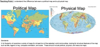
What are Political and Physical Maps? Smartboard Smart Notebook Presentation
This is a Smartboard Presentation that explains what physical and political maps are. There are 10 slides. There are "turn and talk" opportunities for your students. There are several vocabulary words explained. Good resource to begin teaching about the pupose of maps.
Subjects:
Grades:
2nd - 5th
Types:
South Carolina Regions Jeopardy Review Game
This is a fun interactive Jeopardy review style game which covers the regions of South Carolina. I love using it with my students in teams as they tend to get really competetive! It is a great tool to use as review of the unit before a test.
Subjects:
Grades:
3rd - 4th
Types:
Texas Symbols & Jose Antonio Navarro, Houston, Austin - SMARTboard
It's Texas Y'all - SMARTboard Learning Made FUN!!!
Everything you need to teach your kids about Texas on the Smartboard!
This in depth 35 page package includes a variety of slides to suit your students' ability levels. With both highly educational AND fun activities included, you will have everything you need to complete your Texas unit - and best of all - you get to just store the file on your computer for next year rather than trying to keep up with all of the paperwork!
CHECK OUT THE PREVIE
Grades:
PreK - 5th
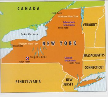
All About New York
PLEASE NOTE: This file needs Notebook Software in order to successfully open. In accordance with TPT policies I am not authorized to issue any refunds.This smart board file is an introduction to the state of New York. It is geared toward lower elementary, 2nd, 3rd, maybe 4th. It gives a basic overview of the state. Information included: state nickname, state abbreviation, wildlife, state bird, state flag, state flower, state song, regions, landforms, fun facts, jobs, weather, state capital, and
Subjects:
Grades:
2nd - 5th
Types:
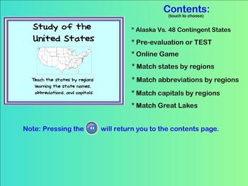
Learn the States - state names, capitals, abbreviations (Smartboard activities)
This product allows you to teach the different states within the United States in a FUN way!
Students are able to drag the states' names, capitals, or abbreviations to the appropriate location on the map. Correct answers will respond but incorrect answers will bounce back into the list. (Allows immediate evaluation of the students' knowledge of the material)
The SMARTboard activities teach/reinforce the states within different regions of the continent. By working with only a few states at a
Grades:
3rd - 6th

Virginia Studies SMARTboard Lesson - Virginia Government & Economy - SOL VS.10
This 16 page instructional SMARTboard unit lesson covers the topic of "Virginia Government and Geography." This lesson covers ALL of the Virginia SOLs VS.10 (updated with NEW SOLs in 2017). This lesson is fun, well organized, and will keep your students' attention! It has tons of pictures, video clips, and interactive parts. Use my SMARTboards in place of a textbook! My interactive notebooks (also featured on TPT) correspond perfectly with the SMARTboards and are a perfect way for your stud
Grades:
3rd - 9th
South Carolina landform regions and river systems
This smartboard slideshow can be used to give students information about SC geography. It is great to use as a close read and can be modified as desired. It gives plenty of visuals and is meant to be used while students have a SC map in front of them! Don't miss out on this presentation with everything students need to know about SC regions and rivers!
Subjects:
Grades:
3rd - 4th
Types:
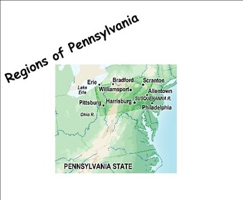
Pennsylvania Regions Research Project (Common Core)
Students in this activity will be in charge of their own learning and then presenting (or teaching) their research to their peers. It ties into the social studies curriculum nicely for 4th grade while also addressing 8 common core standards for language arts. Students will need to create a PowerPoint and a poster to present to the class as part of their requirements. This project can be extended for deeper research for up to two weeks.
Subjects:
Grades:
4th
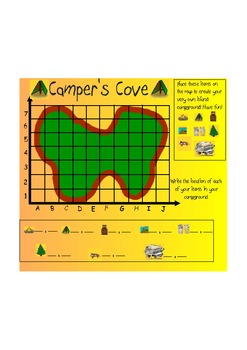
Coordinate & Mapping Skills
This is an introductory lesson about coordinate mapping. It begins by demonstrating the X and Y axis and teaching them how to read them in the correct order. Then it moves into asking the children to identify the location of certain items on the map. Lastly, it asks them to write the locations of the items on the lines on the board. Great thing about Smart, is that if a child is absent, print the pages, and send them home for homework, or great for make-up work! This lesson is aligned with the N
Subjects:
Grades:
3rd - 5th
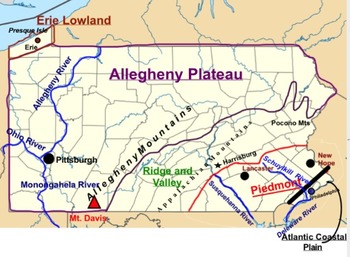
5 Regions of Pennsylvania Map (SMARTboard)
This is a editable SMARTboard map of the 5 regions of Pennsylvania!
Subjects:
Grades:
3rd - 5th
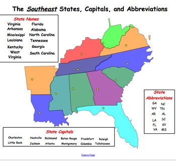
Southeast Region Map and Smartboard Activities
This Smartboard document contains slides of the Southeast region and includes labels for state names, capitals and abbreviations that can be dragged and dropped on the map. In addition, there is a slide which includes key words which can be dragged and dropped into the graphic organizer under the topics of geography, climate, agriculture, manufactoring, history and culture. This is a great activity for a social studies center or whole group instruction.
Subjects:
Grades:
2nd - 8th
Also included in: REGIONS OF UNITED STATES SMART BOARD SLIDES *BUNDLE/ EDITABLE
Showing 1-24 of 203 results


