448 results
Kindergarten geography resources for Microsoft Word
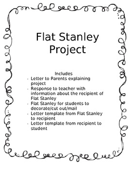
Flat Stanley Project Start to Finish
Includes
- Letter to Parents explaining project
- Response from the parent to the teacher with information about who the recipient of Flat Stanley will be
- Flat Stanley for students to decorate/cut out/mail
- Letter template from Flat Stanley (student) to the recipient
- Letter template from recipient to student
Grades:
K - 3rd
Types:
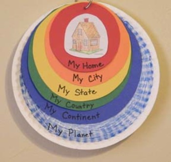
Me On the Map Craftivity Templates
A colorful hands-on craft that helps a child understand their place on the planet: from smallest to greatest sizes - home, city, state, country, continent, and planet. This packet includes all of the templates and each of the 50 states.
Grades:
K - 4th
Types:
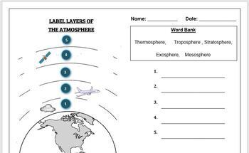
Earth Science Worksheet: Label the layers of the Atmosphere
Earth Science Worksheet: Label the layers of the atmosphereStudents have to label the layers of the atmosphere by looking at the numbers Students can color in the worksheet once they are doneWorksheet aimed at primary level/ high school levelAnswer key included on page 2
Subjects:
Grades:
K - 8th
Types:
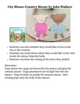
City Mouse Country Mouse Craft
This craft and writing piece is ready for the photocopy machine. Students can vote where they would like to live after listening to the Aesop's Fable version by John Wellner. Then they can make their mouse and draw the setting along with their writing. The final mice crafts can be used as a bulletin board or graphed to compare.
Subjects:
Grades:
PreK - 1st
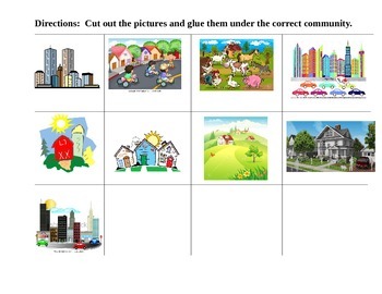
COMMUNITIES CUT and PASTE T-Chart Suburban Rural Urban
This activity is a simple cut, sort and paste for the 3 different communities studied at the primary levels. There are 3 different pictures for each community.
You can use this as classwork, a follow up activity, homework or a simple assessment to check for understanding.
Enjoy!
Grades:
K - 3rd
Types:
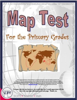
EDITABLE Geography Map Test for the Primary Grades
This ten point EDITABLE pre/post geography map test focuses on map features (rivers, continents, oceans, etc.) and the difference between a globe and a map. It is geared for grades K-2. The questions are based on Bloom’s Taxonomy and incorporate pictures, multiple choice questions, and one short essay question to assess knowledge and comprehension. The essay question may be answered in one of two ways, with written words or by drawing a picture. If necessary, the teacher may read the test orall
Grades:
K - 2nd
Types:
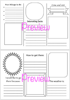
Travel Brochure
A fully editable Word document template for a travel brochure. Great for free time activities, or can be linked to geography studies, book settings for literature, or even planets for a space unit.Print double sided, short edge binding, and fold along the lines.
Subjects:
Grades:
K - 6th
Types:
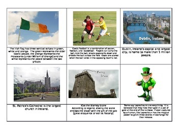
Ireland St. Patrick's Day Montessori Fact cards
This set of 24 cards is a great tool to have in your St. Patrick's day lesson plan. Filled with educational and fun facts about Ireland, your children re sure to enjoy them. Simple print on cardstock, glue onto green paper and laminate. Hope you enjoy them and please leave feedback. :)
Subjects:
Grades:
PreK - 4th
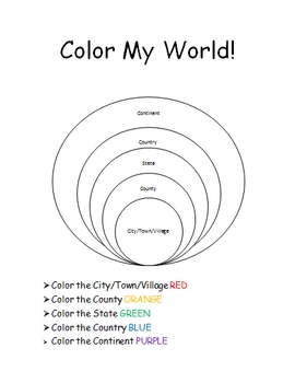
The World Where I Live...
This is a jam-packed, 40 page unit full of multi-sensory and multi-grade-level activities all centering on the relationships between the following concepts: city/town/village, county, state, country, continent, and community helpers. The following mathematical concepts are also explored: range, median, mode, and average (mathematical mean).
The following activities are included in this unit: Key vocabulary exercise, coloring Venn diagram activity, "Greater Than, Less Than" activity page, "My
Subjects:
Grades:
K - 8th
Australian Curriculum Foundation/ Prep Geography Report Card Comments
Prep teachers! Reporting deadlines approaching? Need help writing your Geography report comments?Report card writing has never been easier! Save time and be confident that your comments are well written and designed to align with the Australian Curriculum Geography Achievement Standard. This file contains 35 A - E report card comments for Foundation Level. Suitable for all states and territories, my comments have been used in over 600 Queensland schools.Available in Word format for easy cutting
Subjects:
Grades:
K
Types:
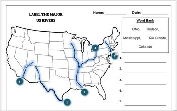
Geography worksheet: Label the Major USA Rivers
Students have to label the major USA rivers (Mississippi, Hudson, Rio Grande, Colorado, Ohio)Word bank providedWorksheet aimed at primary level/ high school levelAnswer key included on the second page
Subjects:
Grades:
K - 10th
Types:
Also included in: Geography worksheets: USA Bundle (10 worksheets, 70%+ off)
Mapping lesson!
This is a lesson on mapping for students with severe disabilities. It is aligned with the MA standards for 9-12th grade but is a 1st-3rd grade lesson.
Subjects:
Grades:
PreK - 3rd
Types:
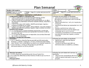
Plan Semanal: Yo vivo en PR
Plan semanal con los Estandares de PR que incluye:EstándaresIndicadoresObjetivosDescripción de actividadesDestrezas y conceptos trabajados:Vocal Iiislaarchipiélagopatriamapafiguras bidimensionalesestaciones del añoestados del tiempofenúmeno atmosférico: huracánciclo del agua
Subjects:
Grades:
K
Types:
Australian Curriculum Foundation/ Prep HASS Report Card Comments
Prep teachers! Reporting deadlines approaching? Need help writing your HASS report comments? Report card writing has never been easier! Save time and be confident that your comments are well written and designed to align with the Australian Curriculum HASS Achievement Standard. Take the pressure out of reporting today!This file contains 55 A - E report card comments for Humanities and Social Sciences - Foundation Level. Suitable for all states and territories, my comments have been used in
Subjects:
Grades:
K
Types:
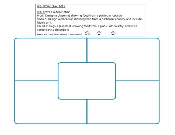
Design a Placemat Template
A placemat template for children to design their own placemat. I used this to celebrate International Day. The children drew their county flag in the centre then drew/wrote facts about their country around it. Includes learning objectives. Fully editable.
Subjects:
Grades:
K - 6th
Types:
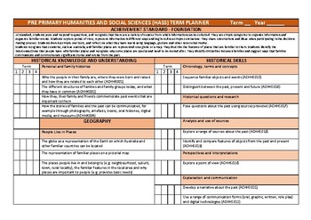
HASS History/Geography Term Planner - Pre Primary Foundation Year
Whole term planning template for Pre Primary (WA) or Foundation year of schooling. Aligned with the Australian Curriculum and Western Australian Curriculum. Completely editable document able to be used in other year levels - just insert your Curriculum Outcomes!Includes a check box for each term that can be highlighted as the topic is covered to provide a year overview.Enjoy and happy teaching!Nyssa Smith@learn.play.laugh
Subjects:
Grades:
PreK - 1st
Types:
Also included in: Pre Primary/ Foundation Year Planning Template Bundle
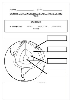
Earth science worksheets: Label the layers of the Earth
Earth science worksheets: Label the layers of the EarthStudents have to labelparts of the earth (crust, mantle, outer core, inner core) Word bank providedStudents can color in the earth once they are doneWorksheet aimed at primary level
Subjects:
Grades:
K - 8th
Types:
Also included in: Primary Space Bundle: (10 worksheets, 60%+ off)
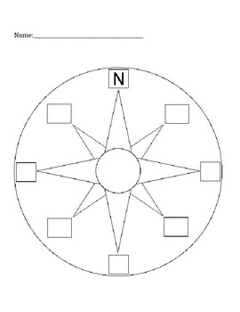
Labeling a Compass Rose- quiz or worksheet
This is a compass rose with blank spots to fill in N, E, S, W, NE, NW, SE, SW. This is great for teaching geography and mapping in first grade.
North, East, South, West, Northeast, Northwest, Southeast, Southwest, cardinal directions
Subjects:
Grades:
K - 3rd
Types:
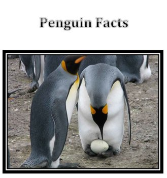
Penguin Facts
Whenever I introduce a lesson, I try to have loads of pictures and information. I felt the my students took well to this Penguin lesson so I thought I'd post it. Since I didn't take the photographs I'm not charging. I did a lesson with my Kinder art classes on drawing habitats and will use the same document to intro a sculpture lesson with my first grades. I love it and I hope you do too!
***********please give a rating :)**************
Subjects:
Grades:
PreK - 2nd
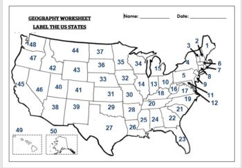
Geography worksheet: Label the 50 USA States
Geography worksheet: Label the 50 USA StatesStudents have to label the 50 U.S.A States by looking at the numbers. Word bank providedStudents can color in the US States once they are finishedAnswer key included on third page
Grades:
K - 7th
Types:
Also included in: Geography worksheet bundle: Label the USA States
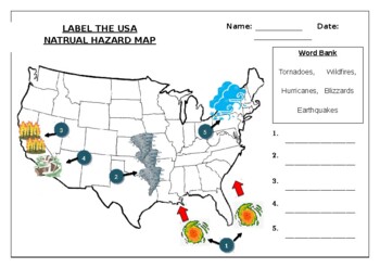
Geography worksheet: Label the USA Natural Hazards Map
Geography worksheet: Label the USA Natural Hazards MapStudents have to label the USA map with natural hazards names which commonly occur in that location (Tornadoes, Wildfires,Hurricanes, Blizzards, Earthquakes)Word bank providedWorksheet aimed at primary level/ high school levelStudents can color in the US map when they are finished
Subjects:
Grades:
K - 10th
Types:
Also included in: Geography worksheets: USA Bundle (10 worksheets, 70%+ off)
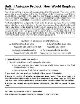
Autopsy: The New World, Part I
The students will be looking into a specific New World Colony and will be researching major themes provided. The students will be depicting this through an autopsy project where the students will be drawing a person him/herself or someone from that time period with the themes surrounding the person. Students have autonomy on who they want to draw as long as it adds to the project. This assignment is created to be fun, creative, and most importantly… informative. The students will be looking int
Subjects:
Grades:
PreK - 12th, Higher Education, Adult Education
Types:
Also included in: Autopsy: The New World
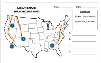
Geography worksheet: Label the Major USA Mountain Ranges
Students have to label the major USA mountain ranges (Cascades, Sierra Nevada, Rockies, Appalachians)Word bank providedWorksheet aimed at primary level/ high school levelAnswer key included on the second page
Subjects:
Grades:
K - 10th
Types:
Also included in: Geography worksheets: USA Bundle (10 worksheets, 70%+ off)
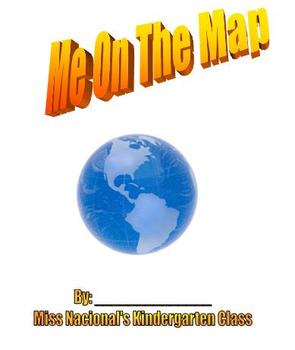
Me on the Map - Kindergarten Social Studies Mapping Skills
This is a template for a student created book to create in Kindergarten for Social Studies mapping skills. After reading the book "Me on the Map" to your class students will make their own version of the book using this template. This is a MS Word document that can be printed as is. Have students draw a picture of themselves doing what they like to do best in school, their town, their state, etc. Students also complete the sentence telling what they're favorite thing to do in each place. For
Subjects:
Grades:
K - 2nd
Types:
Showing 1-24 of 448 results


