12 results
Asian studies posters for Microsoft Word
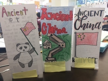
Ancient China Brochure
Students review everything they learned about Ancient China by creating a travel brochure. The lesson includes a brochure template with each labels for each topic to cover. Directions tell them specifically what to include in each section. The entire lesson is editable so you can adapt the topics to fit your textbook.
Grades:
5th - 8th
Types:
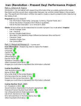
Iran Research Project w/ Poster (Revolution - Present)
Iran research project with poster requirements included. Steps 1-2 are required research. Step 3 has topics for students to choose from to research. Step 4 is the poster requirement. Step 5 is a Gallery walk with questions attached for student feedback.Include examples of finished poster.
Subjects:
Grades:
9th - 10th
Also included in: Geography & History of the World Research Projects (4 Total)
Asian American Pacific Islander Influential Person Profile
During the history of the United States there have been thousands of Asian Americans Pacific Islanders who have been pioneers and ground breakers in different fields including civil rights, education, arts & entertainment, government military, science and sports. Students will create a profile of one influential Asian American Pacific Islander. They can create their profiles on poster board, slideshows or using multimedia platforms. If students create a poster, these can be posted around
Grades:
5th - 8th
Types:
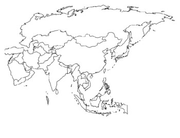
Global/U.S. - Maps Databank - Asia
33 pages of maps related to the continent of Asia. This databank of maps can be used for a variety of purposes depending on your lesson. Some examples of the types of maps included (but not limited to) are:- Political maps- Physical maps- Blank political maps- Vegetation Zone maps- Climate maps- Precipitation Rate maps- Satellite maps- Economic maps- Wealth / GDP maps- Resource / Land Use maps- Religion / language / ethnicity maps- Population density maps- Flag maps- Historical maps related to d
Grades:
1st - 12th, Higher Education, Adult Education, Staff

Arab Spring Project
This is a research, poster and presentation project I did with my 7th grade students when we were talking about conflict and revolution in the Middle East. It requires a lot of interpretation of events so might be better suited for older kids, but my kids enjoyed doing it.
Subjects:
Grades:
7th - 12th
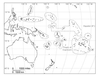
Global/U.S. - Maps Databank - Oceania / Australia
18 pages of maps related to the continent of Oceania / Australia. This databank of maps can be used for a variety of purposes depending on your lesson. Some examples of the types of maps included (but not limited to) are:- Political maps- Physical maps- Blank political maps- Vegetation Zone maps- Climate maps- Precipitation Rate maps- Satellite maps- Economic maps- Wealth / GDP maps- Resource / Land Use maps- Religion / language / ethnicity maps- Population density maps- Flag maps- Historical ma
Grades:
1st - 12th, Higher Education, Adult Education, Staff

Ancient China Invention Project
This is a project where students will research an Ancient Chinese Inventions. The project requires students to create a report, oral presentation, and poster. A rubric for the poster and oral presentation are included.
Subjects:
Grades:
5th - 8th
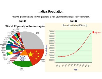
India Scavenger Hunt (Graphs, Maps & Charts)
This is a fun activity made for station work that allows students to move around the room and work in groups. This scavenger hunt focuses on India's demographics, languages, religions, education etc. Students will use graphs, maps and charts to find answers to questions on a separate worksheet sold in my store for $1 (India Scavenger Hunt Worksheet). You could also use this collection of charts and make your own questions to accompany them.I do not own the charts, graphs or maps and to the best
Grades:
6th - 12th
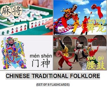
Chinese traditional folklore
Set of nine (9) flashcards illustrating different aspects of the ancient Chinese culture.
Subjects:
Grades:
10th - 12th, Higher Education, Adult Education
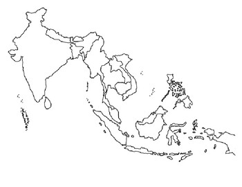
Global/U.S. - Maps Databank - Southeast Asia
11 pages of maps related to the region of Southeast Asia. This databank of maps can be used for a variety of purposes depending on your lesson. Some examples of the types of maps included (but not limited to) are:- Political maps- Physical maps- Blank political maps- Vegetation Zone maps- Climate maps- Precipitation Rate maps- Satellite maps- Economic maps- Wealth / GDP maps- Resource / Land Use maps- Religion / language / ethnicity maps- Population density maps- Flag maps- Historical maps relat
Grades:
1st - 12th, Higher Education, Adult Education, Staff
Types:

Silk Road Project
This is a creative product that helps the students make a silk road. It helps them to really research different states, and see what resources states have. I've done this with 3 different classes and all of them have really enjoyed doing this project.
It goes along really well with my Silk Road PowerPoint.
Subjects:
Grades:
6th
Types:
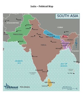
Global/U.S. - Maps Databank - India / Vietnam
15 pages of maps related to the nations of India and Vietnam. This databank of maps can be used for a variety of purposes depending on your lesson. Some examples of the types of maps included (but not limited to) are:- Political maps- Physical maps- Blank political maps- Vegetation Zone maps- Climate maps- Precipitation Rate maps- Satellite maps- Economic maps- Wealth / GDP maps- Resource / Land Use maps- Religion / language / ethnicity maps- Population density maps- Flag maps- Historical maps r
Grades:
1st - 12th, Higher Education, Adult Education, Staff
Types:
Showing 1-12 of 12 results


