26 results
Kindergarten geography graphic organizer microsofts
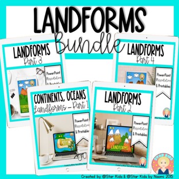
Landforms Bundle for K-1
Activities, posters, printables, powerpoints on PDF files, and much more to learn about landforms and bodies of water! Please check out the preview of each of the resources included.Each section in this pack contains a powerpoint on PDF file and practice to process the new information. It includes beautifully illustrated vocabulary cards with definitions, student worksheets, graphic organizers and writing templates. Please check the preview for additional information on this bundle.Please rat
Subjects:
Grades:
K - 2nd
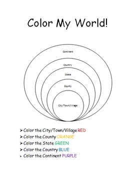
The World Where I Live...
This is a jam-packed, 40 page unit full of multi-sensory and multi-grade-level activities all centering on the relationships between the following concepts: city/town/village, county, state, country, continent, and community helpers. The following mathematical concepts are also explored: range, median, mode, and average (mathematical mean).
The following activities are included in this unit: Key vocabulary exercise, coloring Venn diagram activity, "Greater Than, Less Than" activity page, "My
Subjects:
Grades:
K - 8th
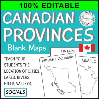
Canadian Province Maps & Canada Map - 100% Editable
This resource is 100% EDITABLE using Microsoft PowerPoint. You can add, subtract, or modify any of the content to suit the needs of your students. Great for differentiation!Make mapping engaging and memorable with these Canadian Provincial Maps.Provincial and Country maps can help students visualize the location of cities, lakes, rivers, hills, and valleys. Students also learn about the correct shape, size and location of the provinces. This resource packages includes all Canadian provinces and
Subjects:
Grades:
PreK - 7th
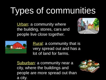
Urban, Suburban, and Rural PowerPoint Lesson with Graphic Organizer
Use this lesson to compare different types of communities.
Objective: The student understands how physical characteristics of places and regions affect people's activities and settlement patterns. The student is expected to: identify the characteristics of different communities, including urban, suburban, and rural, and how they affect activities and settlement patterns.
Subjects:
Grades:
K - 5th
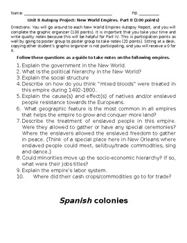
Autopsy: The New World, Part II.
Part II. The Gallery WalkThe students will go around to each New World Empires Autopsy Report, and complete the graphic organizer. It is important that take your time and write quality notes because this will be helpful for Part IV. Also, embedded is a student partner rater as well a reflection on the project itself.
Subjects:
Grades:
PreK - 12th, Higher Education, Adult Education
Also included in: Autopsy: The New World
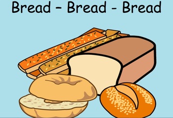
Bread Bread Bread
Bread Bread Bread is just one of the many books Ann Morris has written. In this file you will find graphic organizers, powerpoints, smartnotebooks and more that will allow you to begin your journey of Ann Morris. Her books are photographs that allow for the students to see clearly what is being told to them as well as where the photograph was taken. This book encompasses all content areas.
Subjects:
Grades:
PreK - 4th
Geography: Landforms and geographic influences Texas SS TEK 4
This is a resource for Texas TEK 4. It has Google presentation slides, instructional games, activities, worksheets and craftivities. There are vocabulary slides and riddles. There is a curated book list.It is aligned to the New Social Studies TEKs.
Subjects:
Grades:
PreK - 1st
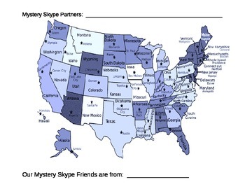
Mystery Skype Maps
This tool can be used as a visual aid when doing a mystery Skype. Cross out the continents, countries and states as questions are answered. For example, if your Mystery Skype partners do not live on the west coast cross out all states on the west coast and see what is left. Continue until only one state is left. Print maps out for partner teams or individually.
Grades:
PreK - 12th, Higher Education

Ohio Powerpoint
This powerpoint is perfect for an introductory lesson for a unit on the beautiful state of Ohio.
This powerpoint includes a KWL chart on the last page for students to list what they know about Ohio, what they want to know, and what they have learned after a possible research project.
Students will see various pictures of places in Ohio. Students are encouraged to make guesses or predict where these pictures were taken. Think how shocked they will be when they find out that all of these unique
Grades:
K - 5th
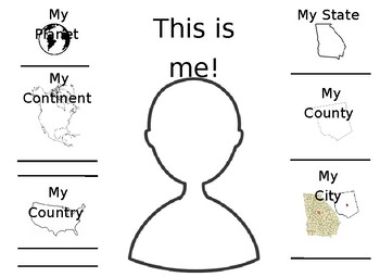
Me On the Map
Great graphic organizer for "Me On the Map" by Joan Sweeney. Completely editable! This was created for my 1st grade students to use to assess their understanding of their place in the world. Aligns perfectly with the Georgia Standards of Excellence. You can typically type your county in on Google Images and find and outline image of it!
Subjects:
Grades:
PreK - 3rd
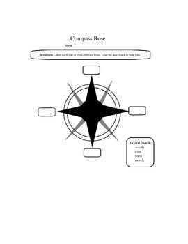
Compass Rose - Maps
Students will label a compass rose using a word bank. This is a great assessment to use in a Geography themed unit,
Subjects:
Grades:
K - 1st
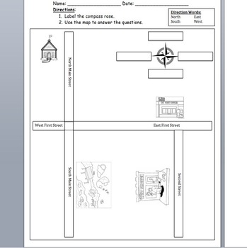
Map Skills
Students can learn to label a map, answer questions about directions, label a compass rose, name map symbols, and make their own maps in this 5 page packet.
Grades:
K - 2nd
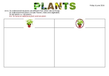
Plant vs Non-Plants
Students are to cut out plants and non-plants and sort them accordingly.
Subjects:
Grades:
PreK - 1st
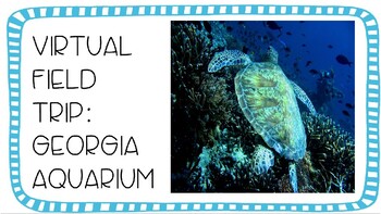
Virtual Aquarium Field Trip
Take your students on a virtual field trip to the Georgia Aquarium!Click the link on the tour guide script pages and it will take you directly to the live webcams in the Georgia Aquarium! In this resource you will find:-tour guide scripts and maps for --Beluga Whale--Southern Sea Otter--Black Spot Piranha--California Sea Lion--African Penguin--Pacific Sea Nettles (jellyfish)--American Alligator-additional activities idea page-compare and contrast graphic organizer-animal needs graphic organizer-
Subjects:
Grades:
K - 4th
NGSS:
1-LS1-1
, 4-LS1-1
, 3-LS4-3
, 2-LS4-1
, K-ESS2-2
...
Address & Phone Book
Editable address and phone book that you can input student photos and print off for classroom. Currently used in dramatic play center and writing center. Students are able to learn their address and phone number while playing with it.
Subjects:
Grades:
PreK - 5th
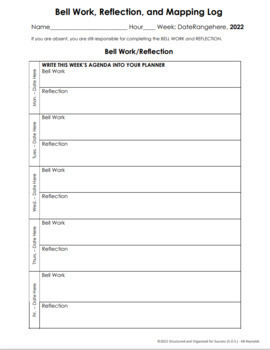
Editable Word Bell Ringers/Work, Exit Ticket/Reflections, and Mapping Worksheet
Assign your students daily Bell Ringers/Bell Work, Reflections/Exit Tickets, and Mapping activities. Providing routine for your classroom is essential! Bell Work/Bell Ringers and Exit Tickets/Reflections are additional ways you can enhance learning and give opportunities for students to show mastery of content.This assignment is an editable Microsoft Word document which will allow for you to assign each student a copy in Microsoft Teams. You may also print/copy for each student in your classroo
Grades:
K - 12th

Globes Vs Maps Venn Diagram
Compare and contrast Globes and Maps. One includes sentence starters and lines for studnets to fill in, while the other is blank.
Subjects:
Grades:
K - 4th
Types:

Map Template
This is a blank grid map that can be used for creating your own map. This would work well for a map of your town or community. Grades k-3 can use this simple map template.
Subjects:
Grades:
K - 3rd

Compare/Contrast Landforms Handout
This handout was made to list the similarities and differences between landforms and waterforms.
Subjects:
Grades:
PreK - 12th, Staff

Marine Mammal or Fish Worksheet
This worksheet is a quick resource to go a long with a unit on ocean life. Students will practice differentiating between marine mammals and fish. A quiz is also supplied on the second page to follow along with the activity. Directions: Using what you now know about sea animals complete this worksheet. Put a blue circle around the animals that are marine mammals. Put a red circle around the animals that are fish.
Subjects:
Grades:
K - 3rd
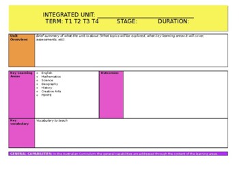
Integrated Unit Program Template
An easy to use unit planner when planning for integrated units of work. Access general capabilities and cross curriculum priorities easily with the QR code attached to this document. Map out your outcomes and formative assessments (assessments for and as learning) to ensure you are meeting all the appropriate outcomes when planning any unit of work. You can also find a tutorial on how to complete this document on my Instagram page @teachme.mrsC
Grades:
K - 6th
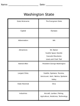
Washington State Fun Facts
I created this to go with a lesson plan for a geography class.
Subjects:
Grades:
K - 5th
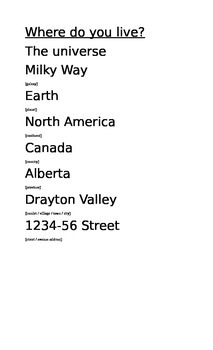
Where do you live?
This is just a simple poster that I like to use with younger grades to help them gain a concept of geographical concepts such as a country, province / state, city, etc. We do this by answering the question, "Where do you live?" in very general (big) ways down to very specific (small) locations. I have also seen this done with circles inside of circles (to show how a country is inside a continent, etc. giving the concept of smaller and bigger places too).
Grades:
K - 3rd
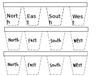
Cardinal Directions Interactive Notebook Flaps.
A great source for students to identify items in the classroom or outside that are N,E,S, or W. Students will describe with words or pictures 1-2 items each that are located north, east south or west. Please enjoy!
Grades:
K - 2nd
Showing 1-24 of 26 results


