224 results
Kindergarten geography printable microsofts
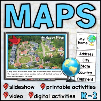
Map Skills Unit with Slideshow– Me on the Map – Maps and Globes - with Digital
This map skills unit for K-2 has all you need to teach your students about maps and globes. With an informational map skills PowerPoint slideshow (also included in video form), vocabulary resources, printable activities and books, and digital activities for Seesaw and Google Slides, this set will get your little geographers making, reading, and talking all about maps! Perfect to use alongside the read-aloud Me on the Map, this maps unit includes an easy-to-assemble “My Home” booklet with version
Subjects:
Grades:
K - 1st
Trip to Mexico Power Point and Activities Pack | Cinco De Mayo Activities
Have a great time learning about Mexico with this fun Power Point and Activities Pack. Both PowerPoint and Google Slides versions are included. It's the perfect activity during Cinco De Mayo, the last week of school, or for some Friday fun! Your class will be introduced to the geography, language, culture, and food in Mexico. The PowerPoint is packed with colorful, real photos. And a variety of activities are included to help your students reflect on what they've learned. Be sure to read the tip
Subjects:
Grades:
K - 6th
"Trip to Hawaii" Power Point & Activities Pack!
This makes for such a fantastic end of year activity! You'll have a great time learning about Hawaii with this fun Power Point and Activities Packet with your students. Read about how I take my class on this exciting adventure below....Check out other products like this!Trip to Mexico BundleTrip to Australia BundleTrip to South AmericaFREE World Travel Student PassportIncluded in this pack... (check out the preview file for a sneak peek!)-47 slide power point on Hawaii where you learn about -
Subjects:
Grades:
K - 6th
Foundation HASS Bundle | Australian Curriculum | Geography & History
This bundle includes all of your Foundation HASS planning for the entire year! These four units explore personal histories and family, personal celebrations, identifying and caring for special places, geographical skills and more! Featuring detailed lesson plans, PowerPoint slides, activity sheets and assessment; it has everything you need!What's included?My Personal & Family History My Personal & Family History PowerPoint 85 + slides.Vocabulary warm-up slidesActivity slides linked to ea
Grades:
K
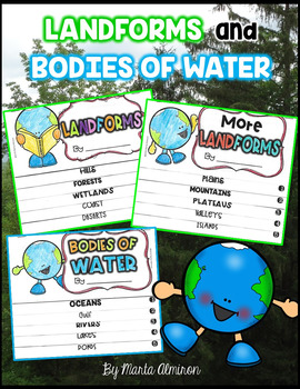
LANDFORMS and BODIES OF WATER {Flipbooks and Presentations}
This is a complete unit to cover Landforms and Bodies of Water.Includes:✔ 2 interactive flipbooks covering the following Landforms: hills, forest, wetlands, coast, deserts, plains, mountains, plateau, valley, and islands.✔ 1 interactive flipbook covering the following Bodies of Water: oceans, gulf, river, lake, and pond.✔ Instructions to assemble flipbooks.✔ Variety of worksheets that can also work as assessments.✔ Presentations with definitions and photographs of all the landforms and bodies of
Subjects:
Grades:
K - 2nd
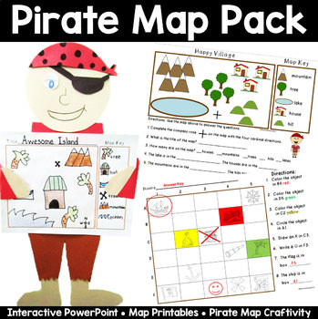
Map Pack: Pirate Theme- Perfect for Talk Like a Pirate Day
Ahoy Mateys! Ye students will shout "Shiver Me Timbers" as they're learning all about basic map skills with this piratey map pack that includes an interactive PowerPoint lesson, practice sheets, and an awesome make your own map craftivity, pirate style!This 33 page packet includes the following:Interactive and fun PowerPoint lesson that introduces the parts of a map- title, map key, symbols, and compass rose, and how to read a map with a grid. A Make Your Own Compass for each student. Two Basic
Grades:
K - 2nd
Also included in: Talk Like a Pirate Day Activities Bundle
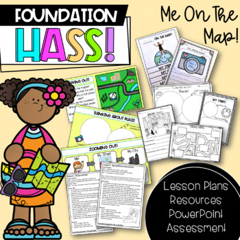
Foundation HASS 'Me on the Map' | Australian Curriculum | Geography
This unit includes everything you need to teach a 'Me on the Map' unit for Foundation & Pre-Primary HASS for the entire term! Paired with my 'Places We Belong' unit, all of your Geography content is covered. This particular unit revisits special places, through exploring local places and places around Australia, before investigating maps and where students are located in terms of street, city, state/territory and country. Important: As this is an Australian resource, the majority of lessons
Subjects:
Grades:
PreK - 1st
Also included in: Foundation HASS Bundle | Australian Curriculum | Geography & History
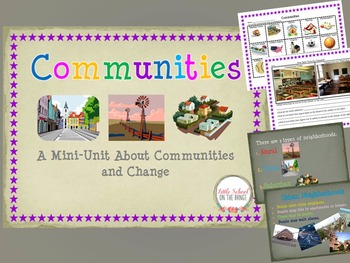
Communities and How They Change Over Time BUNDLE
Communities and How They Change Over Time BUNDLE
This Unit Contains:
• Communities I Belong To
• Types of Communities (Urban, Rural, Suburban)
• Communities Sort (Urban, Rural, Suburban)
• Communities Past and Present (Change)
• Communities Past and Present (Change)
• Technology of the Past and Present Sort
• Schools Past and Present
• Two Pages of Discussion Questions
The sorts and activities are great ways to reach the upper levels of Blooms Taxonomy. Students not only learn about communitie
Subjects:
Grades:
K - 4th

Foundation HASS 'Places We Belong' | Australian Curriculum | Geography
This unit includes everything you need to teach a 'Places We Belong' unit for Foundation & Pre-Primary HASS for the entire term! Paired with my "Me on the Map" Geography unit, all of your content is covered. This particular unit focuses on familiar and special places, such as homes and schools, before moving on to exploring communities. Students investigate what makes these places special, how we can care for them and are introduced to the features of places. Places We Belong Places We Belo
Subjects:
Grades:
PreK - 1st
Also included in: Foundation HASS Bundle | Australian Curriculum | Geography & History
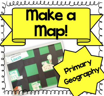
Let's Make a Map! {A Map-Making Activity for Primary Geography Unit}
Product Information: This is a simple, yet effective activity to teach students about maps. It is part of our Social Studies Geography unit. I print this printable, and give each student:-copy of labels (this printable)-a big piece of green construction paper-black strips to make roads-white squares to draw buildings and housesI introduce the lesson by:-showing real maps or online maps-talking about community and what our community looks like-brainstorming what places are by my houseThen the k
Grades:
K - 3rd
Types:
Also included in: Kindergarten Geography Bundle
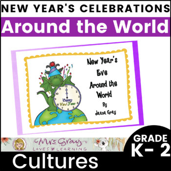
New Years Around the World - Exploring Cultures
Do you want to explore cultures around the world? This is a fun package to explore how different countries celebrate New Year's Eve. The Journey starts in the first country to see the New Year - Samoa. We will follow the sun to see a variety of countries celebrate the New Year. A perfect segue on how time works using the dateline.So grab your passport, so that students can collect a stamp from each country. I give the students a stamp when they read the card for each country or when they can sha
Subjects:
Grades:
K - 2nd
Also included in: Celebrations Around the World - Explore Diverse Cultures Bundle
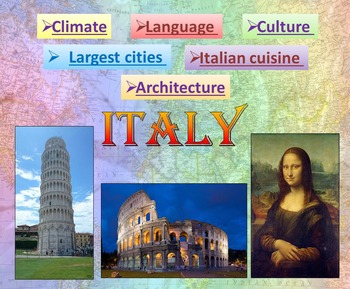
Italy | PowerPoint Presentation | Quiz distance learning (country study)
Italy PowerPoint Presentation Quiz, Art, Culture, Sights and FoodPowerpoint to introduce geographical / cultural / government information of Italy. Awesome as a visual to students.This download now comes with the slideshow in BOTH a PowerPoint and PDF version. Italy - Quiz - Climate - Culture - Language - Architecture - Largest cities - Italian cuisine - Interactive slide showThis is a beautiful and informative 54 slide PowerPoint presentation.This is a super fun slide show. I've given you 4 sli
Grades:
K - 10th
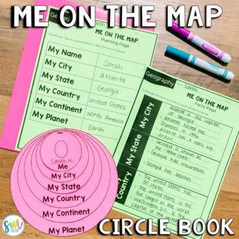
ME ON THE MAP CIRCLE BOOK *EDITABLE* U.S. (ALL STATES) & CANADA! SS1G2
Your students will love learning about "Me on the Map" with this engaging circle book activity! This is perfectly aligned to your social studies curriculum, and it's editable. It not only helps your students visualize the concept of location, but it makes a great bulletin board display! This resource is EDITABLE and is a PowerPoint download (80 slides). Sample to display to studentsEditable planning pagesEditable Fast-Finisher Fact PagesEditable "Me" circleEditable "My City" circleAlso includes:
Subjects:
Grades:
K - 4th
Types:
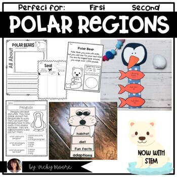
Polar Regions | Arctic and Antarctic Unit | Polar Regions Art Writing Science
Are you studying the polar regions and penguins? This polar region/arctic and Antarctic science unit will be perfect for you if you are learning about Antarctica and the Arctic regions.Included are:* cover/credit page* snack idea page with step by step directions* snack writing page* 2 color by sight word pages* STEM activity and reflection page and photo sample* SCIENCE experiment with directions and reflection page* walrus flip book craftivity*mini book for the kids to read and take home ( in
Subjects:
Grades:
K - 2nd
Types:
Also included in: Animal Habitats Bundle | Art | Writing | Passages | Poems
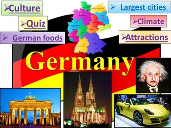
Germany PowerPoint Presentation distance learning
This is a beautiful and informative 60 slide PowerPoint presentation.This is a super fun slide show. Germany - Quiz - Climate - Culture - Largest cities - German food - Interactive slide showIncludes:* Geography * Quiz* German Flag ; Coat * Governance* ClimateLargest German companies German Rivers* Economy * Largest cities BerlinMunichCologneFrankfurtStuttgart* Nobel prize Albert EinsteinGustav Hertz* CultureJohann Sebastian BachGeorge Frideric HandelRichard WagnerJohann Wolfgang von GoetheFried
Grades:
K - 10th
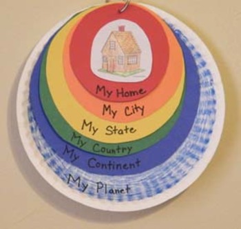
Me On the Map Craftivity Templates
A colorful hands-on craft that helps a child understand their place on the planet: from smallest to greatest sizes - home, city, state, country, continent, and planet. This packet includes all of the templates and each of the 50 states.
Grades:
K - 4th
Types:
Severe Weather Awareness Week
This unit is great for Severe Weather Awareness Week. It contains a 26 page unit as well as a 40 page PowerPoint. * * The PowerPoint has LINKS to VIDEOS! * *Topics Covered:WeatherClimateHow Climate Affects How People Live and DressTornadoesHurricanesBlizzardsIce StormsHow to Prepare for Severe WeatherMeteorologists Unit Includes:* * Passages * * Climate Sorts - - GREAT for formative assessments* * Vocabulary CardsPowerPoint Includes:* * Passages* * Active links to videos of severe weather* * Act
Subjects:
Grades:
K - 2nd
Sun Solar eclipse Science PowerPoint presentation Astronomy distance learning
Sun Solar eclipse Science PowerPoint presentation AstronomyThis is a beautiful and informative 20 slide PowerPoint presentation.-The Sun is the star at the center of the Solar System-The structure of the Sun-Life cycle of the sun-Solar eclipseI've given you 3 slides to look at in the Download Preview – take a look!*********************************************************** -Solar System- / 3 в 1 / ***********************************************************Check out some of my other science po
Subjects:
Grades:
K - 10th
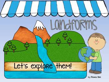
Intro to Landforms Powerpoint - Can be printed as class book
This PowerPoint presentation includes both fun clipart images and real life pictures of 9 different landforms:
-hills
-plateaus
-islands
-peninsulas
-valleys
-lakes
-plains
-rivers
-mountains
Each landform includes a brief description. The end of the presentation includes a screen with all 9 landforms to review them. Students can either name them verbally, or you can have them write them down if you are ready to check their knowledge.
*This also makes a great classroom book when printed!
Grades:
K - 4th
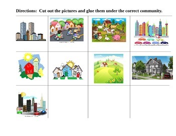
COMMUNITIES CUT and PASTE T-Chart Suburban Rural Urban
This activity is a simple cut, sort and paste for the 3 different communities studied at the primary levels. There are 3 different pictures for each community.
You can use this as classwork, a follow up activity, homework or a simple assessment to check for understanding.
Enjoy!
Grades:
K - 3rd
Types:
Back To School Activities Scavenger Hunt | Discover the Campus
Use this campus hunt at the beginning or end of the year. Students will learn mapping skills, problem-solving, and social skills while being active and finding locations around the school campus. This is an editable PowerPoint so you can edit it for your own class's needs or change the tasks to be appropriate for your age group. This can be used for any grade level. Assign students an adult leader, they find a location using the clue, do the task and the leader gives them a stamp. Students e
Subjects:
Grades:
K - 6th
Types:
Also included in: Kindergarten Back To School SURVIVAL Bundle
EDITABLE Geography Map Test for the Primary Grades
This ten point EDITABLE pre/post geography map test focuses on map features (rivers, continents, oceans, etc.) and the difference between a globe and a map. It is geared for grades K-2. The questions are based on Bloom’s Taxonomy and incorporate pictures, multiple choice questions, and one short essay question to assess knowledge and comprehension. The essay question may be answered in one of two ways, with written words or by drawing a picture. If necessary, the teacher may read the test orall
Grades:
K - 2nd
Types:
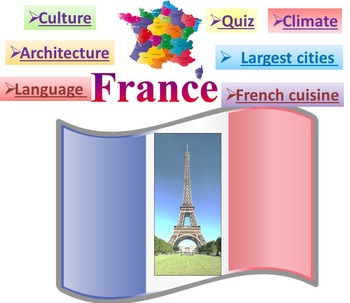
France PowerPoint presentation Quiz distance learning
This is a beautiful and informative 42 slide PowerPoint presentation.This is a super fun slide show. I've given you 4 slides to look at in the Download Preview.Includes:* Geography * Quiz* Flag* Climate* Language * Economy* Architecture Louvre Eiffel Tower Arc de Triomphe Palace of Versailles Disneyland Paris* Largest cities Paris Marseille Lyon Toulouse Nice French Riviera Grenoble* Culture* French cuisine***********************************************************Check out some of
Grades:
PreK - 10th
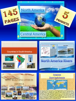
North America South America United States Canada Mexico distance learning
North America South America BUNDLE: 145 pages - Interactive slide showThe zip file contains: 5 products- PPT1.North America- Central AmericaGeography- political map of North AmericaThis is a beautiful and informative 51 slide PowerPoint presentation.*North America- United States- Canada- Greenland- Mexico*Central America- Belize- Costa Rica- El Salvador- Guatemala- Honduras- Nicaragua- Panama*** North America- PowerPoint presentation*************************************************2. North Ameri
Subjects:
Grades:
K - 10th
Showing 1-24 of 224 results


