1,423 results
Geography outline activboard activities
Bubonic Plague The Black Death PowerPoint Slides Outline Notes & YouTube Videos
This was recently re-mastered to be AWESOME! This PowerPoint has some fantastic visuals of the black death/bubonic plague. It also shows the spread of the disease throughout Medieval/Feudal Europe with a great map. There are several key questions that encourage discussion. This PowerPoint is sure to grab your student's attention!The last slide has 2 YouTube links from the History Channel, including a fun song that my class thought was hilarious.We also have an Oh Rats! Black Death storyboard pos
Grades:
5th - 9th
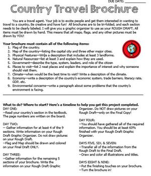
Country Travel Brochure Project
This is a fun project activity where students create a travel brochure for a chosen (or teacher-assigned) country. This project works well because the students know exactly what information that they need and where to put it on the brochure. It makes researching so much easier for everyone! There are directions, a brainstorm sheet, and a rough draft graphic organizer. I like the students to complete the final draft on large white construction paper, but the rough draft graphic organizer could be
Grades:
4th - 12th
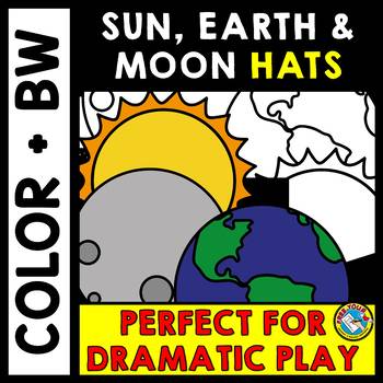
SOLAR & LUNAR ECLIPSE 2024 ACTIVITY KINDERGARTEN HATS CRAFT SUN MOON EARTH CROWN
SOLAR AND LUNAR ECLIPSE CRAFTS: HAT CRAFTS OF THE SUN, EARTH AND MOON IN COLOR AND BLACK AND WHITEAre you looking for fun eclipse activities to engage young learners and help them better understand what goes on during an eclipse? This crafts pack is a must have! It contains three hat templates of the sun, Earth and moon, both in color and bw. These hats/ headbands could also be used throughout the rest of the year for other science lessons!Kids will love making and wearing these hats for ecli
Subjects:
Grades:
PreK - 2nd
Types:
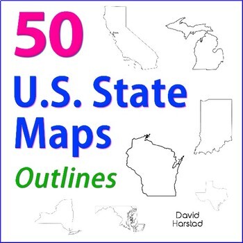
GEOGRAPHY | 50 U.S. State Maps Outlines (K-12)
GEOGRAPHY | 50 U.S. State Maps Outlines (K-12). Map outlines for all American occasions: history, physical, political, or specialty. Ideal for reports, labeling, or patriotic projects. Unfortunately, maps will not create a scaled puzzle. Preview same as Download.About the collection:Files are 8.5" x 11" in PDF & PNG. Product purchase is for organizational services. Maps are compiled from various free online sources and clarity is not always consistent. Please view Preview to see if maps mee
Grades:
K - 12th
Types:
Also included in: Top 20 Best Sellers
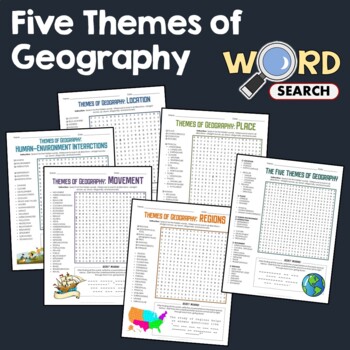
5 Themes of Geography, Terms Word Search Puzzle Activity Bundle Worksheets
This word search puzzle worksheet is perfect if you need something to keep your students occupied. This worksheet will help your students learn more and improve their vocabulary.After searching for the words, your students should be able to solve the secret message by filling out the blanks with the unused letters. The words are hidden in various directions - horizontally across or backward, vertically up or down, diagonally up, down or backward. Some words will also overlap or intersect, which
Grades:
4th - 7th
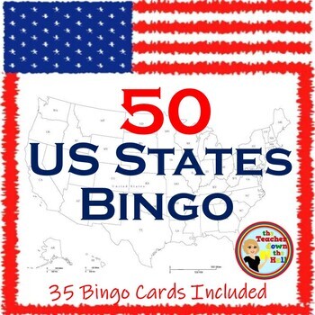
US Bingo I Know the 50 States Group Activity w/ 35 Bingo Cards!
Need a fun way to review the 50 States? Print the Bingo Cards, and show the slides!! Students will see: the shape of each state, where it is located in the US, its state flag, and its state motto.Their job is to identify it and cover it on their Bingo Cards! A great review and there are enough slides to play at least twice. Then play a game where students race each other to identify the states. Both games are great reviews of our US states! **************************************************
Grades:
4th - 7th
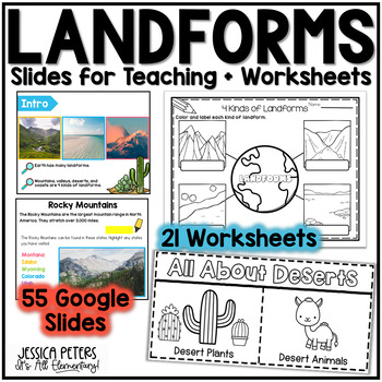
Landforms | Mountains Valleys Deserts Coasts Activities, Slides & Worksheets
Landforms Activities including Flip Books, Google Slides lessons, and worksheets to learn Mountains, Valleys, Deserts, and Coasts - This is an interactive Google Slides Lesson (55 slides) with 21 accompanying B&W printable worksheet activities. Google Slides include the following:14 slides to teach Mountains8 slides to teach Valleys13 slides to teach Deserts15 slides to teach CoastsGraphic Organizer to Show All LandformsThis product includes a Google Slides file that can be used for teaching
Subjects:
Grades:
K - 2nd
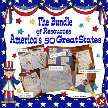
The Bundle of America's 50 Great States
This gigantic bundle is an awesome addition to your US states unit. Five separate resources are all contained in the bundle. Your kids will have fun with the activities, have knowledge of state facts and geography, learn the state capitals, and have a spatial awareness of where states are located on a US map.Most of the bundle is print-and-go with the exception of puzzles that must be cut out. Two map puzzles of the United States are included giving you a choice of two sizes.For a better look a
Subjects:
Grades:
3rd - 6th
Types:
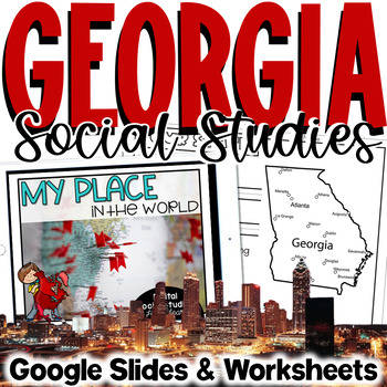
Georgia Social Studies | Me on the Map | City, County, State, Country, Continent
My Place on the Map - lessons for identifying and locating city, county, state, country, and continent - This geography unit is an interactive Google Slides Presentation (76 slides) with 18 accompanying B&W printable worksheet activities.This product is ideal for the early grades. This product includes an interactive Google Slides file that requires no extra materials for students to complete, though I have included black & white printable worksheets to go along with the slides. I plan t
Subjects:
Grades:
K - 3rd
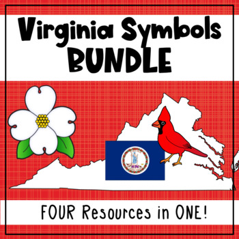
Virginia State Symbols Bundle - Cardinal, Dogwood, Capitol, Flag (SOL 1.12)
Teach your first grade students about Virginia's state symbols: the Virginia capitol building, dogwood (state flower), cardinal (state bird), and the Virginia state flag! This bundle includes printable posters with images and vocabulary, fill-in-the-blank activities, student books, a graphing activity, and an I Spy interactive board activity. 1.12 The student will recognize the symbols and traditional practices that honor the Commonwealth of Virginia by a. identifying the Virginia flag, sta
Grades:
1st
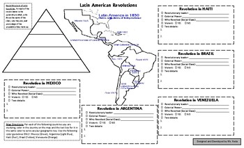
World History: Latin American Revolutions One Page Notes Summary with Map
This is a note-taking strategy that I came up with, designed, and started using this year. It’s what I called a One-Page Summary, and it’s a one page notes template designed to cover ONE topic, chapter, or section at a time. Because it’s one page only, I focus only on the pertinent information that the students must absolutely walk away knowing. This is based on the World History, Patterns of Interaction textbook. Chapter 24, Section 1: Latin American Peoples with Independence. MAP Notes:United
Subjects:
Grades:
9th - 12th
Types:
Also included in: World History Chapter 24 Nationalist Revolutions Sweep the West BUNDLE
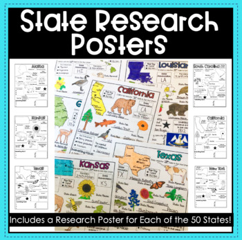
State Research Report Posters - A Template for ALL 50 States!
Get your students excited about learning the 50 states with these amazing report posters! These state research report posters provide your students with an easy to use graphic organizer while they conduct their state research! They can stand alone, be used in conjunction with a larger scale report or project, or used as a decorative display around the classroom! The options are endless!Materials Included:Blank State Research Posters for ALL 50 states
Subjects:
Grades:
4th - 8th
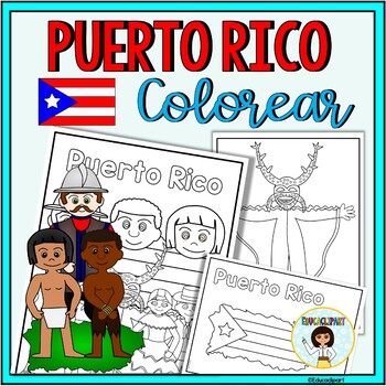
Puerto Rico
This is a .pdf file with 12 coloring pages. It include all pages shown on the preview. The images are:1. Puerto Rico cover coloring page2. Flag - La bandera3. Map - el mapa de Puerto Rico4. Flag in map form - bandera con la forma del mapa5. Race - nuestra raza6. Old San Juan "La garita"7. National flower "La maga" - Flor "La maga"8. Music instruments - instrumentos musicales9. National dance "La plena" dancers10. National dance " La bomba" dancers11. "Vejigante"12. "Vejigante" mask - máscara ve
Subjects:
Grades:
PreK - 12th
Also included in: Puerto Rico Coloring Bundle
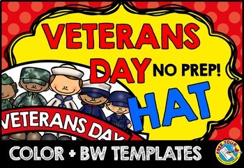
VETERANS DAY CRAFT CROWN ACTIVITY HAT TEMPLATE CRAFTIVITY KINDERGARTEN HEADBAND
VETERANS DAY CRAFT FOR KINDERGARTEN, 1ST GRADE AND MORE (NOVEMBER CRAFT ACTIVITY)Are you looking for fun 'Veterans Day' activities? You've come to the right place! Kids will love making and wearing this hat on 'Veterans Day'! This resource contains a cute hat template, both in color and bw. Simply choose the most adequate template for your class (color/ bw), print and go! Children can look at the colored template to color their own hat. After the kids have colored their hat, cut out and sta
Subjects:
Grades:
PreK - 3rd
Types:
Also included in: MAY CRAFT KINDERGARTEN CROWN HAT ACTIVITY COLORING PAGE HEADBAND ART
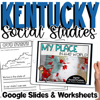
Kentucky Social Studies | Me On the Map |City, County, State, Country, Continent
My Place on the Map - lessons for identifying and locating city, county, state, country, and continent - This is an interactive Google Slides Presentation (76 slides) with 18 accompanying B&W printable worksheet activities.This product is ideal for the early grades. This product includes an interactive Google Slides file that requires no extra materials for students to complete, though I have included black & white printable worksheets to go along with the slides. I plan to teach these l
Subjects:
Grades:
K - 3rd
Dinosaurs Clip Art Commercial use
Cute Dinosaur Clip Art Commercial use/ Dino Clipart includes: fern * dino egg* volcano* Bones with skull Dinosaur* bone *dinosaur skeleton* ankylosaurus* apatosaurus* ichthyosaurus* pterodactyl* stegosaurus* triceratops* tyrannosaur* tyrannosaurus rex *tyrannosaurus rex.Download preview with free clipart inside license included!All18 png files transparent background+jpgand 17 png black-white coloring outlines files+jpgFor personal and small commercial use!!!! See more animals clipartDinosaurs of
Grades:
PreK - 12th, Higher Education, Adult Education, Staff
World Geography End-of-Course (EOC) STAAR Review Guide Study Sheet
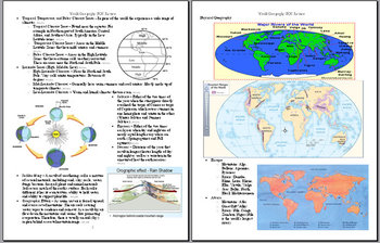
This 19-page, STAAR aligned TEKS, review guide covers most of the basics of physical and human geography. It is an excellent resource in preparation for the World Geography STAAR End-of-course exam which all freshman in the state of Texas will be taking this year.
Grades:
9th
Types:
Latitude and Longitude Map Geography Skills Google Slides Pear Deck
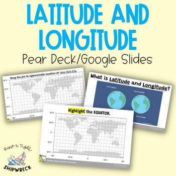
Improve your students' map skills with these interactive and engaging Pear Deck slides! Teach your students how to identify lines of latitude and longitude, the Equator, and the Prime Meridian with ease. These slides are a great addition to your geography lesson plans, and can be used as a formative assessment or review activity. The slides come with a brief video tutorial to explain these concepts, followed by an activity where students will pin and label locations on a map using either Google
Grades:
6th - 8th
Types:
California Regions Research, Writing, Activity Pack
I like to have fun teaching my students about our state regions. We live in California, but this pack could work for other states as well.
What's included in this product:
*Region Questions (2 pages): Students can research the different regions and record information about the climate, seasons, animals, plants, adaptations, famous landmarks, cities, and latitude/longitude.
*Regions Mini Book (5 half pages and one fill in): Students can record 5 fun facts about the regions.
*Region Postcard
Subjects:
Grades:
3rd - 5th
Types:
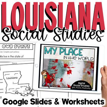
Louisiana Social Studies | Me On the Map | City, Parish, State, Country, Cont
My Place on the Map - lessons for identifying and locating city, parish, state, country, and continent - This is an interactive Google Slides Presentation (76 slides) with 18 accompanying B&W printable worksheet activities.This product is ideal for the early grades. This product includes an interactive Google Slides file that requires no extra materials for students to complete, though I have included black & white printable worksheets to go along with the slides. I plan to teach these l
Subjects:
Grades:
K - 3rd
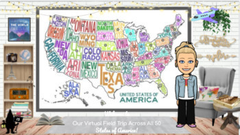
Travel the 50 States: Resources & Activities
This is United States Resource is a visually appealing, highly engaging, and completely editable resource with everything needed to research and study each of the 50 states. All videos are youtube.embeded or video.link so they are safe for students to access independently. This interactive google slide show can be used as a school resource, guided or independent learning or shared with parents to encourage/engage students learning at home. Best of all, this resource will continue to grow as I a
Subjects:
Grades:
K - 5th
Types:
Informational Research Report -- My State
Resources and materials to write a research report about your state! Includes a complete sample report all about Michigan.Includes:Drafting Paper/Illustration PaperA Complete Sample Text (about Michigan)Pre-writing Graphic OrganizersAn internet resource list for kidsOutline Maps for All Fifty States!!**Take a look at the preview to see what is included!!See my other product on Informational Writing:http://www.teacherspayteachers.com/Product/Writing-Informational-Text-Common-Core-AlignedPlease l
Grades:
3rd - 5th
Types:
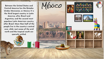
Hispanic Heritage Month~ Virtual Field Trip to Spanish Speaking Countries
I have collected a comprehensive collection of resources, activities, and read alouds intended to celebrate Hispanic Heritage through virtual field trip to each country. These animated Google Slides are great for online, in-person class learning and/or communication. This is an awesome way to keep your audience engaged and allows students of all levels to access. Also a great resource to share with parents to encourage/engage students in reading at home. Currently there are over 50+ resources li
Grades:
PreK - 5th
Types:
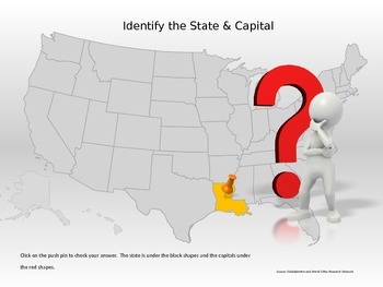
50 States & Capitals Interactive Power Point
Students can practice their 50 states and capitals, locations and abbreviations in this interactive Power Point. If the student does not know the state, they can click to reveal the abbreviation of the state for a second guess.This would be great for a whole class game, small group, or individual practice.
Grades:
4th - 7th
Showing 1-24 of 1,423 results


