5 results
Geography task cards for Easel Assessments
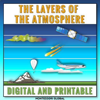
The Layers of the Earth's Atmosphere
The layers of Earth's atmosphere are introduced in printable and digital formats. The layers of Earth's atmosphere Montessori nomenclature cards include definition cards. This product includes a layer of the atmosphere online activity in Boom™ Learning and in TPT Easel. Included:1. Printable layers of Earth’s atmosphere Montessori nomenclature cards 2. Printable layers of Earth’s atmosphere definition cards3. Printable layers of Earth’s atmosphere booklet templates for students4. Self-checking l
Subjects:
Grades:
5th
Types:
NGSS:
5-ESS2-1
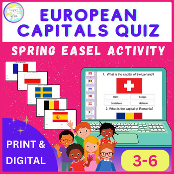
European Capitals Quiz | Spring Easel Activity
Whether used as a standalone activity, a supplement to classroom instruction, or as part of a distance learning curriculum, the European Capitals Quiz Easel Activity offers unparalleled versatility and educational value.Help your students discover Europe's capital cities using this fun and engaging tool, encouraging them to understand and respect different cultures around the world.The countries included in this quiz are: - Switzerland- Romania- Slovenia- Denmark- Spain- Finland- Hungary- Czech
Grades:
3rd - 6th
Types:
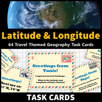
Latitude and Longitude Task Cards Map Skills Activity World and US Cities
Learning about latitude and longitude and is fun and easy with these task cards! 64 travel themed task cards are provided and help your students develop map skills and a stronger understanding of world and U.S. geography. This task card set includes: 20 task cards that include the coordinates of world cities and ask students to identify them20 task cards that feature world cities and ask students to identify their coordinates 12 task cards that include the coordinates of United States cities and
Grades:
5th - 9th
Types:
CCSS:
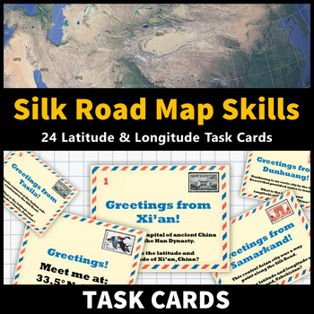
Ancient China Map Skills Activity Silk Road Latitude and Longitude Task Cards
Learning about the Silk Road and Ancient China while improving latitude and longitude map skills is fun and easy with these task cards! 24 tasks cards are provided and feature notable cities along the Silk Road. This activity helps your students develop map skills and a stronger understanding of the geography of the Silk Road! This activity is an excellent way to reinforce your ancient civilizations lessons about the Silk Road and Ancient China. This task card set includes: 12 task cards that fe
Grades:
6th - 9th
Types:
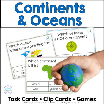
Continents and Oceans - Map Skills - World Geography Activities
Are you looking for an engaging way to practice world geography skills? This set of task cards, clip cards, and games will give your students lots of fun practice with continents and oceans!Here's what's included in this resource!* 30 multiple choice task cards, a supported way to practice identifying the shape of continents and their names, as well as the location of oceans and their names. A student recording page and answer key are provided.* 20 clip cards, again offering the support of provi
Subjects:
Grades:
2nd - 4th
Types:
Showing 1-5 of 5 results


