724 results
7th grade geography lectures

Bubonic Plague The Black Death PowerPoint Slides Outline Notes & YouTube Videos
This was recently re-mastered to be AWESOME! This PowerPoint has some fantastic visuals of the black death/bubonic plague. It also shows the spread of the disease throughout Medieval/Feudal Europe with a great map. There are several key questions that encourage discussion. This PowerPoint is sure to grab your student's attention!The last slide has 2 YouTube links from the History Channel, including a fun song that my class thought was hilarious.We also have an Oh Rats! Black Death storyboard pos
Grades:
5th - 9th
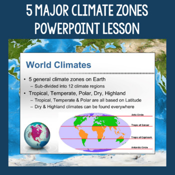
5 Major Climate Zones PowerPoint Slides | Chart and Mapping Activity
This Climate Zones Lesson and Activity includes a full PowerPoint presentation that address the characteristics, general locations, plants, animals, and specific location examples of the 5 major climate zones (polar, temperate, tropical, dry, highland). Students can fill out the included chart as you go over the presentation and a follow-up mapping activity puts their new knowledge of the climate zones to use. A filled out version of the chart, a blank version of the chart, and a blank map are a
Subjects:
Grades:
5th - 12th
Also included in: Geography Skills PowerPoint Lessons Bundle
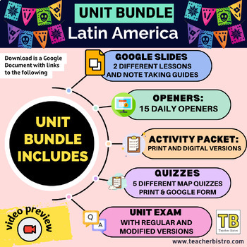
Latin America Geography Bundle (Google Slides, Activity Packet, Quizzes, Opener)
Give your students a SOLID background in the geography of Latin America.This Bundle Includes:2 Google Slides lessons with notetaking guides: Central America and the Caribbean and South America15 daily openers with student worksheetsActivity packet (print, digital, editable, and answers)Intro diagnostic activity5 Map Quizzes: The Caribbean, Central America, Central America and the Caribbean, South America, all of Latin America.Unit test: regular multiple choice, modified version with fewer choice
Subjects:
Grades:
7th - 12th
Types:
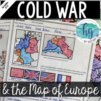
Cold War: The Changing Borders of Europe: 1945-1993
This mini-lesson will help your students understand how Europe's borders changed after World War II, during the Cold War, and after the collapse of the Soviet Union. You can use this as guided notes, station work, homework, in an interactive notebook, and much more! What's Included:*Changing Borders of Europe Reading Packet (7 pages, in color and b&w)*PowerPoint presentation to use instead of the reading packet (32 slides) *added May 2017**Student Handout for notes (7 pages, students will fi
Subjects:
Grades:
6th - 9th
Also included in: Cold War Lesson Bundle for U.S. and World History Units
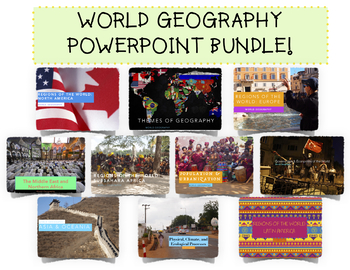
Complete World Geography PowerPoint Bundle!
A $50 Value for $40! Includes TEN World Geography Unit PowerPoints. Details below!(UPDATED AUGUST 2020 as a Google Slide Presentation! Perfect for hybrid, blended, online, or digital learning!)The Themes of Geography PowerPoint allows students to become more familiar with the Five Themes of Geography and introduces them to core geographical foundations. As such the PowerPoint is broken into:1. Five Themes of Geography2. Map Skills (Reading Maps, Relative vs Absolute Location)3. Types of Maps and
Grades:
7th - 12th
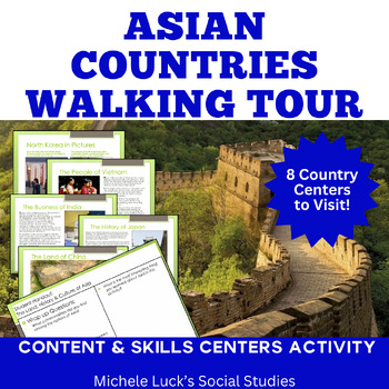
Asia Walking Tour on History, Culture, Physical Geography, Economy More!
Introduce your students to Asia and examine the countries of the continent with an easy to prep and content-filled Walking Tour that will be engaging and fun for your whole class!Investigate one Asian country or region at a time or complete as a multi-day activity where student examine and compare all 8 countries included.Use as a lesson for the Geography of Asia or to introduce the region for a History lesson or Book setting.In this 78+ page Walking Tour or Gallery Walk Activity and Interactive
Subjects:
Grades:
6th - 10th
Types:
Also included in: Modern World History Interactive Lessons Bundle Walking Tours & More
Southern Africa Google Slides World Geography Lesson
Updated:May 2023Google Slides35 Slides: Fully EditableSOUTHERN Africa Geography Google Slides lesson is a great way to teach students about the physical geography, economy, culture, standard of living, and more of the following SOUTHERN African countries: Angola, Zambia, Malawi, Mozambique, Namibia, Botswana, Zimbabwe, South Africa, Lesotho, EswatiniNote Taking GuideThe Google Slides purchase also includes EDITABLE student note-taking guide/graphic organizers (for print and digital notetaking).
Grades:
7th - 10th
Also included in: Sub-Saharan Africa Unit Bundle
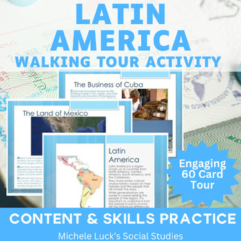
Latin America Walking Tour on History, Culture, Geography, Economy Gallery Walk
Introduce your students to Latin America! With this resource, you can investigate one Latin American country or region at a time or research the entire region as one multi-day activity.Use as a lesson for the Geography of Central and South America or to introduce the region for a History lesson or Book setting.In this 60 page Walking Tour or Gallery Walk Activity and Interactive Lecture on the region of Latin America, your students will be introduced to the region's physical and human geography.
Grades:
6th - 10th
Types:
Also included in: Modern World History Interactive Lessons Bundle Walking Tours & More
The Consequences of Global Climate Change / Global Warming - PowerPoint
A comprehensive, colorful, and engaging 48-slide PowerPoint presentation exploring the various environmental and socio-economic consequences and effects of global climate change. Clear, objective with easy-to-follow text, explanations, photos, and videos.Climate change topics include: rising sea levels, loss of biodiversity, famine, desertification, and even a colder Europe.Students also learn, however, that there may arguably be a few potential benefits associated with global warming such as in
Subjects:
Grades:
7th - 12th, Higher Education
Middle East Geography COMPLETE Unit
Let this complete 15 - 23 day unit for the study of the Middle East in a Geography or other Social Studies course save you time and stress as you prepare engaging and content-filled lessons for your students. And it provides skills practice, too!Includes a unit/lesson plan, student-centered activities, learning centers, online interactives, all student materials, and more.Content Topics CoveredPhysical Geography of Middle EastHuman GeographyRegions of the Middle EastEnvironment of the Middle Eas
Grades:
6th - 12th
Types:
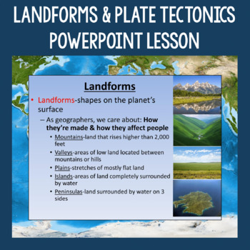
Landforms, Plate Tectonics, and Human-Environment Interaction PowerPoint Slides
This Landforms Lesson includes a full PowerPoint presentation that starts out by defining the term landforms and showing pictures of more common ones such as mountains, valleys, plains, mesas, etc. It goes on to address the topics of why geographers care about landforms, how they're formed by various plate tectonic movement, and how landforms and water features can affect humans. The topics of weathering and erosion are also addressed and students practice identifying each through a series of pi
Subjects:
Grades:
5th - 12th
Also included in: Geography Skills PowerPoint Lessons Bundle
Latin American Independence: A Trip Through Movements
Latin American Independence: A Trip Through Movements can be used as a Centers Activity or as a Response Group Activity in which students gather information from the provided information cards to examine the different movements of the early 19th Century that brought independence to Central and South America. Student handouts and wrap-up questions are provided. Includes many images as well as significant dates, facts, and people of the events. Independence Movements CoveredHaitiMexicoGran Colo
Grades:
7th - 12th, Higher Education
Types:
Also included in: Modern World History Interactive Lessons Bundle Walking Tours & More
13 Colonies:PowerPoint:Slavery in the New World: Trans-Atlantic_Slave_Trade
Animated PowerPoint with transitions
14 slides
Teacher Notes included on PowerPoint
Trans-Atlantic Slave Trade
Slaves
Map
colonies
Africa
Plantations
Raw Materials
Triangular Trade Routes
African Slave Trade
Slave Economy
The Middle Passage
Slave Bill of Sale
c-scope
Cscope
Texas
US History
Coaching History
Grades:
5th - 12th
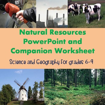
Natural Resources PowerPoint and Worksheet
This lesson addresses renewable resources, non-renewable resources, energy sources, and food sources. There is also a section of maps at the end to help students understand how resources are not spread evenly throughout the world and what effect that may have on various regions.
The zip file includes three files:
1. PowerPoint lecture in pptx format. This is fully editable to suit your teaching preferences. Most slides include my own suggestions for different ways to discuss the material being
Subjects:
Grades:
7th - 9th
Types:
Also included in: Natural Resources Bundle
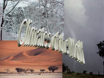
Climate, an Introduction- World Geography
This is a very good introduction to climate and weather. In 26 slides, there is good information on sun/earth relationship, what affects climate, what causes seasons, and the major climates of the world. There are great visuals and information along with directions to create a climate brochure located at the end of the PowerPoint presentation (you would have to create the rubric). This would be perfect in a general science class or world geography.
Grades:
3rd - 11th
Also included in: World Geography (Physical Geograpy) Google Slides
Literacy Rate and Its Impact on the Standard of Living - Notes & Activities
This file is a great way to introduce your students to the concept of "literacy rate" and to show them how it impacts a country's standard of living. The notes include facts, vocabulary, statistics, etc. I use this file when teaching my students' about Europe, so there are 3 slides about UK, Germany, & Russia, but those can be omitted if you are not studying that area of the world. There are also a notes graphic organizer, review questions, engaging activity, and a ticket out the door printa
Grades:
6th - 8th
Types:
Also included in: Economics BUNDLE
World History Bundle!!!
Included in this bundle is the entire semesters worth of curriculum over MESOPOTAMIA, ANCIENT EGYPT AND KUSH, AND ANCIENT GREECE. This material correlates with McGraw Hills' "Discovering our Past A History of the World".YOU DO NOT NEED TO USE THE BOOK TO TEACH THIS RESOURCEI have hand made all of these resources over 4 years, and condensed the chapter. This unit is ideal for Middle School/High School, and can take anywhere from a semester to two depending on the age and level of your students.Al
Grades:
5th - 10th
Types:
World Geography Bundle!
Included in this bundle is the entire semester/year of curriculum which correlates with HMH's "World Geography". YOU DO NOT NEED TO USE THE BOOK TO TEACH THIS RESOURCEI have hand made all of these resources over 4 years, and condensed the chapter. This unit is ideal for Middle School/High School, and can take anywhere from one semester to two depending on the age and level of your students.All of the resources will be shared through Google Drive. To keep access to this file you MUST MAKE A COPY
Grades:
4th - 10th
Types:
Middle East Google Slides World Geography Lesson
Updated:July 2023Google Slides35 Slides: Fully EditableMIDDLE EAST Geography Google Slides lesson is a great way to teach students about the physical geography, economy, culture, standard of living, and more of the following countries in the Middle East: Turkey, Cyprus, Lebanon, Syria, Iraq, Iran, and Afghanistan. Note Taking GuideThe Google Slides purchase also includes EDITABLE student note-taking guide/graphic organizers (for print and digital notetaking). There is also a completed note-takin
Grades:
7th - 10th
Types:
Also included in: Middle East and North Africa Bundle
ISIS (ISIL or IS) Unit with PowerPoint, Notes, & Activities {EDITABLE}
This unit introduces students to ISIS (IS, IL, IS, Daesh). The editable PowerPoint provides the history of the terrorist organization, covers the geographic region of Iraq and Syria, and analyzes the current situation. Everything is editable, so you can continue to revise the files to suit your timeline/age group and as the situation in the Middle East and around the globe evolve. This current event unit is intended for use with middle and high school students.
***Information is current thro
Grades:
7th - 12th

Amazon: Deforestation
Teaching about the Amazon? Deforestation and the Amazon Rainforest can help. This PowerPoint introduces students to deforestation and to the benefits of the Amazon Rainforest for the people who live in Brazil and the other Amazon countries…. and for people around the world. The end of the presentation asks students to consider who is responsible for protecting it. There are many ways to answer this question and it’s a great way to get students to think deeper in a class discussion about solution
Subjects:
Grades:
5th - 8th
Arabian Peninsula Google Slides World Geography Lesson
Updated:June 2023Google Slides35 Slides: Fully EditableARABIAN PENINSULA Geography Google Slides lesson is a great way to teach students about the physical geography, economy, culture, standard of living, and more of the following countries on the Arabian Peninsula: Israel, Palestine, Jordan, Saudi Arabia, Kuwait, Bahrain, Qatar, Oman, Yemen, United Arab Emirates.Note Taking GuideThe Google Slides purchase also includes EDITABLE student note-taking guide/graphic organizers (for print and digital
Grades:
7th - 12th
Types:
Also included in: Middle East and North Africa Bundle
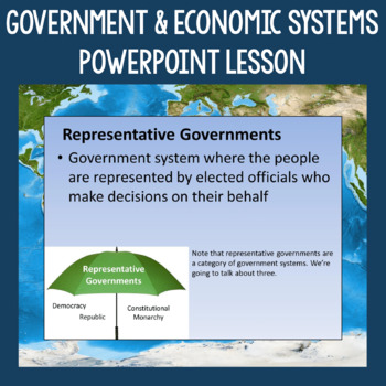
Government and Economic Systems PowerPoint Slides | Developed vs. Developing
This Government and Economic Systems Lesson includes a full PowerPoint presentation addressing many topics. Six different government systems (democracy, republic, constitutional monarchy, absolute monarchy, dictatorship, communism) are explained and the slides include pictures to help students make connections. Economic systems (market and command) are also addressed, including information about the characteristics of each and how supply and demand works. Also in the presentation is the concept
Subjects:
Grades:
5th - 12th
Also included in: Geography Skills PowerPoint Lessons Bundle
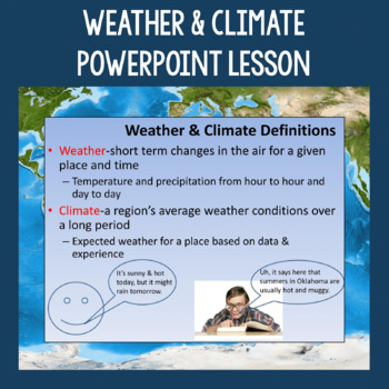
Weather, Climate, and Natural Disasters PowerPoint Slides
This Weather and Climates Lesson includes a full PowerPoint presentation focusing on the differences between weather and climate, the main factors that affect climate, different types of natural disasters, and the impacts natural disasters can have on humans. Throughout the presentation, I've offered suggestions for ways you can incorporate discussion into the lesson. It includes video clips of tornadoes and hurricanes. There is also a suggested assignment on the last slide. The entire file is c
Subjects:
Grades:
5th - 12th
Also included in: Geography Skills PowerPoint Lessons Bundle
Showing 1-24 of 724 results


