Topographic Map Activity and Topographic Map Worksheets Bundle
- Zip
What educators are saying
Products in this Bundle (3)
Description
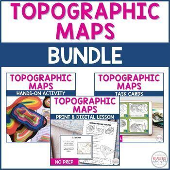
Reading topographic maps is an easy skill to teach with this complete topographic map bundle. You will save hours of planning time with all of the no-prep resources in this digital and print lesson and topographic map activity.
The resources included in this bundle of topographic map activities will teach your students to read contour lines, determine contour intervals, and identify elevation.
The digital version can easily be shared in Google Classroom.
Included in this topographic map activity bundle:
- Topographic Map Presentation
- Differentiated Notes (blank, completed, and fill in)
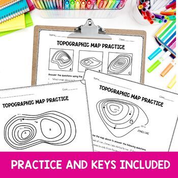
- Reading a Topographic Map Practice Pages
- Differentiated Profile View Practice
- Video Instruction for Drawing Profile View
- Vocabulary Word Wall Cards (color and black and white for easy printing).
- Digital Google Slides Version and PDF
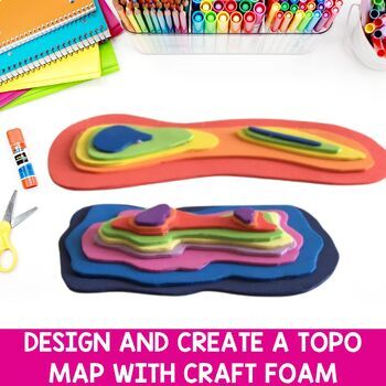
- Topographic Map Project
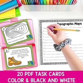
- Topographic Map Task Cards
Teachers like you said:
⭐⭐⭐⭐⭐A great resource for students to take notes and practice Topographic maps but the many worksheets that also accompany this is a great practice for the students.
⭐⭐⭐⭐⭐This unit was a perfect resource to teach this standard!
⭐⭐⭐⭐⭐Very helpful understanding this hard to understand topic!
Why purchase this product?
- No prep, just print and go
- Save HOURS of planning time!
- Answer key included
- Engaging for students
- Tested in my classroom for years
- Aligned to standards
You may also be interested in this related product:
⭐Customer Tip - Submit feedback to earn TPT credit!⭐
Go to your "My Purchases" page. For each purchase, there is a "Provide Feedback" link. Click it to be taken to a page where you can give a quick rating and leave a short comment for the product.
Every time you give feedback, TPT gives you credit that you may use to lower the cost of your future purchases!
Let's Get Connected!!
❥Email - carrie@beakersandink.com
❥Join our Facebook page!
❥Follow me on Pinterest and Instagram
❥Check out our BLOG and get access to the Free Resource Library!


