4,832 results
9th grade geography handouts
5 Themes of Geography Stations Activity | Five Themes of Geography Lesson
In this Five Themes of Geography stations and student activity, students analyze the five themes of geography (location, place, human-environment interaction, movement, and region) to understand how geographers study the world!This best-selling geography resource is included in the massive All Things Geography Bundle, as well as the American or the World History PLUS Curriculum!This lesson begins with students doing an introductory reading and activity on the five themes of geography. Then, stu
Grades:
5th - 9th
Types:
My Ecological Footprint: Fun Online Activity and Worksheet about Climate Change
Take your class to the computer lab for a fun and engaging activity! Students will use an interactive website to find out how their lifestyle determines their ecological footprint and impacts our planet. This activity is the first step in a fun lesson that spans two classes and gets your students learning about the environmental impact of the choices we make every day. This lesson fits perfectly into a unit or course about climate change, environmentalism, geography or world issues. There is lit
Subjects:
Grades:
9th - 12th
Types:
Also included in: Climate Change and Environmental Sustainability Bundle for High School
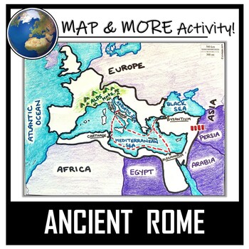
Ancient Rome Map Activity- Roman Empire (Label and Color!)
This Ancient Rome Map Coloring & Labeling Activity is a great resource to enhance your unit! Each student will make their own, personalized map of the Roman Empire, and learn about the geography and landmarks of the region. They will label and color their blank map, and answer follow-up questions related to the geography of Ancient Rome. A fun 'Make a Travel Brochure' project has also been added. It is a great way to connect this map activity to your lesson on Ancient Rome! A link to Goo
Grades:
4th - 11th
Types:
CCSS:
Also included in: Ancient Civilizations / World Maps BUNDLE- Color & Label Activities!
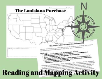
The Louisiana Purchase and Lewis & Clark Mapping Activity
This one day lesson will introduce students to the Louisiana Purchase while incorporating mapping and geography skills.Included in your purchase:1. Summary of Louisiana Purchase and Lewis & Clark expedition.2. Blank Map of the United States3. Directions for coloring and labeling map of the United States using current and historical place names related to the Lousiana Purchase and the Lewis & Clark Expedition.Note Some Additional Supplies Needed:--Colored Pencils--Map resources to help st
Grades:
6th - 10th
Types:
Also included in: Thomas Jefferson, The Louisiana Purchase and Lewis & Clark Lesson Bundle
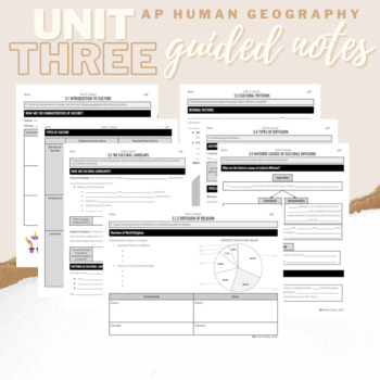
Unit 3: Student Guided Notes - AP Human Geography
Notes pages for each CED topic for Unit Three.Use the guided notes to scaffold your Human Geography lectures or use the notes with my accompanying lecture slideshow! You can find slideshow lectures that correlate directly with EACH CED Topic for AP Human Geography Unit 3 here.Students can use as a study guide, you can assign for homework, or use with a self-guided lecture! You can assign this to be completed digitally for distance learning or print and have students complete hardcopy.So many use
Subjects:
Grades:
9th - 12th
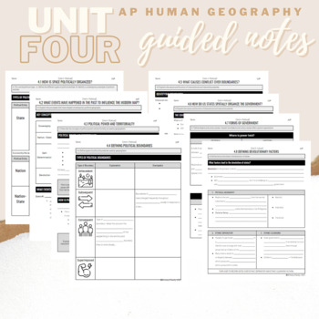
Unit 4: Student Guided Notes - AP Human Geography
Notes pages for each CED topic for Unit Four.Use the guided notes to scaffold your Human Geography lectures or use the notes with my accompanying lecture slideshows! You can find slideshow lectures that correlate directly with EACH CED Topic for AP Human Geography Unit 4 here.Students can use as a study guide, you can assign for homework, or use with a self-guided lecture! You can assign this to be completed digitally for distance learning or print and have students complete hardcopy.So many use
Subjects:
Grades:
9th - 12th
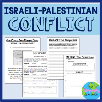
Israel Palestine Conflict History Set
This set includes several resources and activities to use when teaching the complicated Israeli-Palestinian conflict. This set includes:- A short reading on the "two-state solution"- Several primary source documents that help students understand the major issues preventing a two-state solution. As students read the documents, they have to decide whether each document has a pro-Israeli perspective, a pro-Palestinian perspective, or a neutral perspective. - 12 page PowerPoint slides for teachers t
Grades:
6th - 12th
Types:
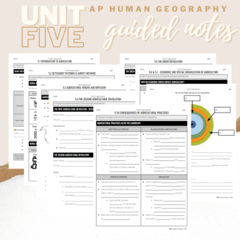
Unit 5: Student Guided Notes - AP Human Geography
Notes pages for CED topics 5.1-5.10 for Unit Five. *NOTE: THIS IS MISSING TOPICS 5.11 and 5.12*Use the guided notes to scaffold your Human Geography lectures or use the notes with my accompanying lecture slideshows! You can find slideshow lectures that correlate directly with EACH CED Topic for AP Human Geography Unit 5 here.Students can use as a study guide, you can assign for homework, or use with a self-guided lecture! You can assign this to be completed digitally for distance learning or pri
Grades:
9th - 12th
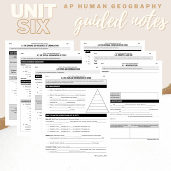
Unit 6: Student Guided Notes - AP Human Geography
Notes pages for each CED topic for Unit Six.Use the guided notes to scaffold your Human Geography lectures with my accompanying lecture slideshows! You can find slideshow lectures that correlate directly with EACH CED Topic for AP Human Geography Unit 6 here.Students can use as a study guide, you can assign for homework, or use with a self-guided or in-person lecture! You can assign this to be completed digitally for distance learning or print and have students complete hardcopy.So many uses!
Grades:
9th - 12th, Higher Education
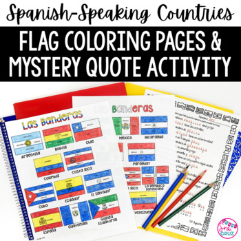
Spanish Speaking Countries Flags Worksheets Spanish Colors Coloring Pages
These coloring pages practice Spanish colors using flags of Spanish-speaking countries. Line versions of each flag have the color in Spanish for each section of the flag (rojo, blanco, azul, etc.) It also includes a mystery phrase activity in basic Spanish using clues about each flag. Ex. La bandera de Colombia es ___, azul, y roja. The answers help solve the secret phrase which is a quote about travel. The answer key for the mystery phrase page is included.These can be copied front and bac
Subjects:
Grades:
4th - 12th
Types:
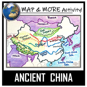
China Map Activity- Ancient China (Label and Color!)
This China Map Coloring & Labeling Activity is a great resource to enhance your unit! Each student will make their own, personalized map of the Chinese Empire, and learn about the geography and landmarks of the region. They will label and color their blank map, and answer follow-up questions related to the geography of China. A fun, 'Make a Travel Brochure' project has also been added. It's a great way of connecting your lesson on China to this map activity! In addition, this activity ha
Grades:
4th - 10th
Types:
CCSS:
Also included in: Ancient Civilizations / World Maps BUNDLE- Color & Label Activities!
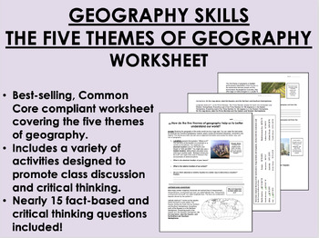
Geography Skills - The Five Themes of Geography worksheet
Geography Skills - The Five Themes of Geography worksheetBEST SELLER!AIM: How do the five themes of geography help us to better understand our world?Common core compliant worksheet that introduces students to the five themes of geography as a tool for understanding our world. Includes a variety of student-centered activities designed to promote critical thinking and class discussion. Topics covered in this worksheet include:The five themes of geography – location, place, human-environment intera
Grades:
7th - 12th
Types:
Also included in: 9th Grade Global/World History MEGA Bundle
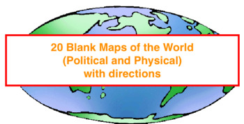
20 Blank Maps of different regions of the world (Political & Physical Maps)
I have created 8 groups of blank maps along with the political (cities, states, countries) and physical (rivers, oceans, mountains etc.) that need to be labeled and colored for each.The maps included are:1. Physical map of the world2. Political and Physical maps of Africa3. Political and Physical maps of South (Latin) America4. Political and Physical maps of US & Canada (One political map of the US, One political map of Canada and then a physical map that contains the US and Canada).5. Polit
Grades:
4th - 12th
Types:
Northwest Ordinance, Land Ordinance, the Northwest Territory, & the Common Core
In this Northwest Ordinance and Land Ordinance primary source analysis activity, students are introduced to the Land Ordinance of 1785, the Northwest Territory, and the Northwest Ordinance to understand their impact to US and American History.Students are engaged with a variety of pictures and text selections from both Ordinances. In keeping with the Common-Core, students are asked to be "close-readers" and pull out specific information from the text. Finally, at the end of each Ordinance, stu
Grades:
7th - 10th
Types:
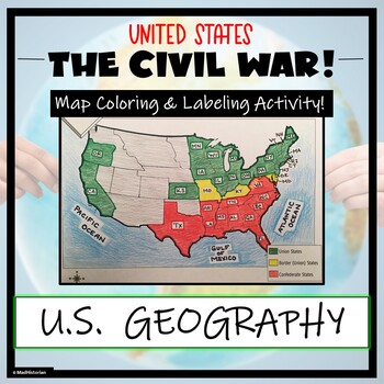
Civil War Map- Label and Color Activity!
This Civil War Map Activity is a great supplemental piece to a unit on the United States Civil War! Students will identify, label, and color the Union states, Border states, and Confederate states, and then color all three regions. Directions for labeling and coloring is provided. A completed and colored map is provided for reference, but this map can be completed using a textbook or online resource as well. This is a creative and engaging way of supplementing lessons on American History! The
Grades:
6th - 11th
Types:
CCSS:
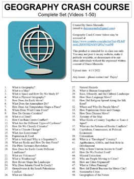
Crash Course Geography Worksheets Complete Set (Full Bundle Collection)
This ZIP file contains Microsoft Word document worksheets (along with PDF versions) for each of the fifty episodes of Crash Course Geography hosted by Alize Carrere.Worksheets contain a combination of fill-in-the-blank and short answer questions. Each worksheet is accompanied with an answer key and relevant images.By purchasing this file, you agree not to make it publicly available (on external websites, etc.) or to share with any other teachers. It is intended for classroom use only. You *are*
Subjects:
Grades:
9th - 12th, Higher Education
Types:
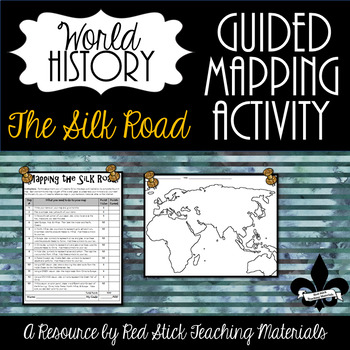
Mapping the Silk Road Activity--No PREP!
This ready-to-use Mapping The Silk Road Activity will give students a 10-step guided mapping activity. All students need to complete the assignment is a World History Textbook, Historical Atlas, OR the internet. This is a great activity to leave with a substitute since it requires only a textbook, crayons, and no prep!Included is the 10-step Mapping the Silk Road handout and a Map of Europe, Africa & Asia. The 10-step handout also serves as a grade sheet/checklist for easy grading and
Grades:
6th - 9th
Types:
Also included in: The Silk Road--Enrichment and Engagement Bundle
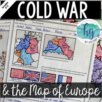
Cold War: The Changing Borders of Europe: 1945-1993
This mini-lesson will help your students understand how Europe's borders changed after World War II, during the Cold War, and after the collapse of the Soviet Union. You can use this as guided notes, station work, homework, in an interactive notebook, and much more! What's Included:*Changing Borders of Europe Reading Packet (7 pages, in color and b&w)*PowerPoint presentation to use instead of the reading packet (32 slides) *added May 2017**Student Handout for notes (7 pages, students will fi
Subjects:
Grades:
6th - 9th
Also included in: Cold War Lesson Bundle for U.S. and World History Units
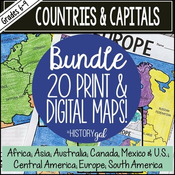
Countries and Capitals of the World Map Activity Bundle (Print and Digital)
Do your students need to know the locations of countries around the world and their capitals? This set bundles all of my engaging country and capitals map activities. These no-prep resources will make covering the countries and capitals of the world easy! The following maps are included in this bundle:AustraliaCanada, Mexico and the United StatesCentral AmericaEastern EuropeNorthern EuropeSouthern EuropeWestern EuropeEuropeSouth AmericaMiddle EastCentral Asia Ukraine South Asia East Asia Southea
Subjects:
Grades:
6th - 9th
Types:
CCSS:
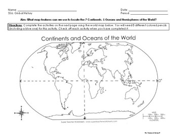
Map Skills Activity: Continents, Oceans and Hemispheres
Students will complete specific map activities designed to introduce them to (or reinforce) the following topics:
- the 7 continents
- 5 oceans
- relative location
- compass rose and cardinal directions
- map scale
- Hemispheres
- Prime Meridian and Equator
Students will need 8 colored pencils for this activity and a post-it note provided by the teacher.
Students will work independently or with a partner to locate or identify specific map features (such as compass rose and map scale
Subjects:
Grades:
6th - 9th
Types:
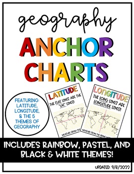
Latitude & Longitude + 5 Themes of Geography Anchor Charts
Latitude and Longitude are tricky concepts to teach! I print mini copies of these out for my students to place in their interactive notebooks and I have large copies hanging in my classroom as a reference guide. I have also included my 5 Themes of Teography reference charts as well.
Grades:
4th - 12th
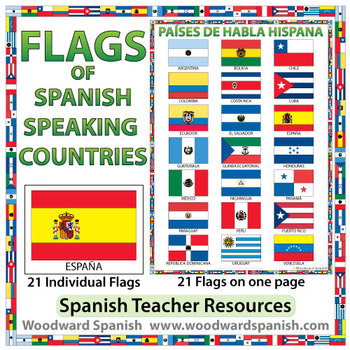
Flags of Spanish-speaking Countries
Flags of the 21 Spanish-speaking countries.
These flags are perfect for decorating the Spanish classroom. You may also want to laminate the flags and use them as large flashcards.
There are 21 individual flags of the following Spanish-speaking countries: Argentina, Bolivia, Chile, Colombia, Costa Rica, Cuba, Ecuador, El Salvador, España, Guatemala, Guinea Ecuatorial, Honduras, México, Nicaragua, Panamá, Paraguay, Perú, Puerto Rico, República Dominicana, Uruguay, Venezuela.
Each flag is on its
Subjects:
Grades:
1st - 12th, Adult Education
Also included in: Spanish Bundle – Spanish-speaking Countries and Capitals
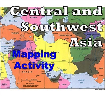
Central and Southwest Asia (Middle East) - Mapping Activity
Map Activity – Central and Southwest AsiaIn this activity, students must locate and identify the countries (and capital cities if so desired) of Central and Southwest (or Middle Eastern) Asia. When students are finished with this, time can be spent coloring in the various countries.Included in this package is a ready-to-copy blackline master map of Central and Southwest Asia along with a separate answer key.This product can also easily be used as a test or quiz.Preview file is available for down
Subjects:
Grades:
4th - 12th, Higher Education, Adult Education
Types:
Also included in: Map Activity Bundle
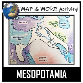
Mesopotamia Map Activity- Fertile Crescent (Assyria, Babylon, Sumer)
This Mesopotamia Coloring & Labeling Activity is a great resource to enhance your unit! Each student will make their own, personalized map of the Fertile Crescent of Mesopotamia, and learn about the geography and landmarks of the region! They will label and color their blank map, and answer follow-up questions related to the geography of Mesopotamia. A link to Google Compatible directions, questions, and a sample map has also been added.Included:- A Blank Map- Map Directions (with suggeste
Grades:
5th - 11th
Types:
CCSS:
Also included in: Ancient Civilizations / World Maps BUNDLE- Color & Label Activities!
Showing 1-24 of 4,832 results


