10,641 results
Not grade specific geography printables
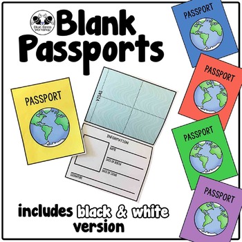
Blank Passport Template
Your students can travel around the world (or the classroom!) with these blank passports. Each passport template prints on one page and is folded to create a booklet with a cover, information page, visa / stamp page, and backing.
♢ Generic, non-country specific
♢ 5 cover colors: yellow, blue, rust, green, purple
♢ Black & white version included
♢ PDF format
You might also like:
Classroom Passport Stamps
Case File Stamps
Thank you for stopping by my store! I appreciate all comments and
Subjects:
Grades:
Not Grade Specific
Types:
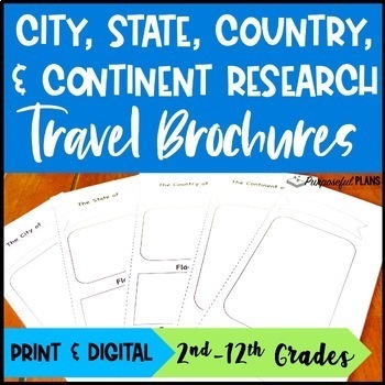
EDITABLE City, State, & Country Travel Brochure Templates Research Project
Get your students excited about social studies research projects with these fun, engaging, and editable travel brochures, rubrics, & checklists templates! There are time-saving trifold research travel brochures, rubrics, & checklists templates available to customize. Students will build research & writing skills by working to create an easy-to-use city, state, country, or continent travel brochure. There is a customizable checklist (self eval & peer edit) and rubric for each of t
Grades:
Not Grade Specific
Types:
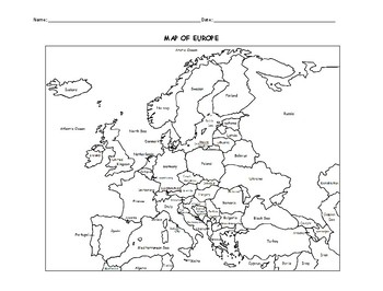
MAP OF EUROPE PRINTABLE COLORING PAGE WITH COUNTRIES
This black and white printable map of Europe includes all 51 countries. Print and Go! Great for reference or to print and color and learn. List of countries included: Albania, Andorra, Armenia, Austria, Azerbaijan, Belarus, Belgium, Bosnia and Herzegovina, Bulgaria, Croatia, Cyprus, Czech Republic, Denmark, Estonia, Finland, France, Georgia, Germany, Greece, Hungary,, Iceland, Ireland, Italy, Kazakhstan, Kosovo, Latvia, Lithuania, Luxembourg, Macedonia, Malta, Moldova, Monaco, Montenegro, Nethe
Subjects:
Grades:
Not Grade Specific
Types:
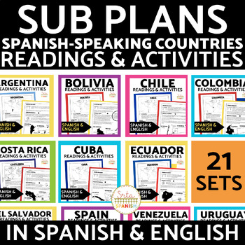
Spanish-Speaking Countries Reading Activities in Spanish and English Bundle
This HUGE Spanish-Speaking Countries Reading Activities GROWING Bundle includes 21 (!) reading infographics and comprehension activities!The resources ALL include:2 pages of infographic readings comprehension activitiesanswer keysAll in Spanish and English10 pages for each resource!Included Countries:ArgentinaBoliviaChileColombiaCosta RicaCubaEcuadorEl SalvadorEspañaGuatemalaGuinea EcuatorialHondurasMéxicoNicaraguaPanamáParaguayPerúPuerto RicoLa República DominicanaUruguayVenezuela Please note,
Subjects:
Grades:
Not Grade Specific
Types:
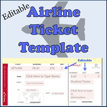
Airline Plane Ticket Template
Print your very own boarding pass / plane tickets for your students. This editable template includes an English version and a Spanish version.Enter your class information in the form of an airline ticket. Great for a geography or travel unit in elementary classes or for foreign language classes in high school teaching about culture. Customize it for your own needs as it is editable! Check out the reviews to see how other teachers have used it -- and loved it!Need a digital template? Check out ou
Subjects:
Grades:
Not Grade Specific
Types:
Also included in: Spanish Travel Pack Bundle
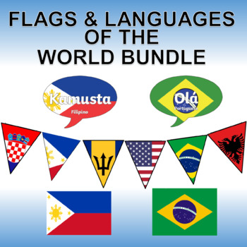
Flags and Languages of the World Bundle - Clipart, Posters and Printable Banner!
Contains five of our best products! Savings of 50%!Languages of the World - Hello in Every Language - Printable PostersThis is a set of 162 color, printable posters that showcase the word "HELLO" in all of the languages of the world. Each has its own unique flag in the background along with the name of the language itself.Flags of the World Banner / Bunting / PennantThis 203 flag collection is an excellent resource for creatively displaying world flags in your classroom.You will receive a zip f
Grades:
Not Grade Specific
Types:
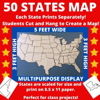
Large Printable United States Wall Map with State Names
Print the 50 states individually and assemble to create a bulletin board sized map of the United States perfect for class projects in a variety of subject areas! Who doesn't need a customizable U.S. map in their classroom?The completed map measures approximately 5 feet by 3 feet and includes blank outlines of the fifty states, each containing only the state name. States are scaled for size so that they can be neatly assembled into a large map.Ideas for Use:*Students researching the 50 states c
Subjects:
Grades:
Not Grade Specific
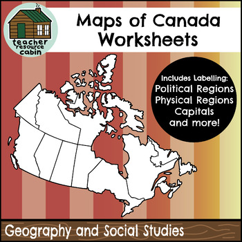
Political and Physical Map of Canada for Students to Label and Colour (10 Maps)
This resource contains 10 worksheets of maps of Canada to support students as they learn to identify and locate all of the provinces, territories, physical regions, and capitals of Canada. This resource is made for 8.5"x11" paper, but could be resized using printer settings to accommodate larger paper. This product contains an ANSWER KEY.Map Worksheets Included:Political map of Canada (Provinces/Territories) with no title and blank legend template.Political map of Canada (Provinces/Territories)
Grades:
Not Grade Specific
Types:
Also included in: Grade 4 Ontario Social Studies Workbook Bundle
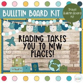
World Travel - Travel Classroom Theme Bulletin Board Kit
This bulletin board kit is a must have for your classroom! Perfectly suited for bulletin boards of all sizes, or even your door, your kiddos and parents will love seeing this happy decor!Why a digital bulletin board?Immediate deliveryNever wears out, just print again!Convenient and easy to useSo much cuter then standard in-store optionsIncluded with this purchase:3 Different Sayings in 3 Different Color Choices (Solid Black, Multicolor, & Black Outline)BannerBoard DecorAt-Home Print: PDF (8.
Grades:
Not Grade Specific
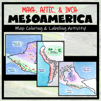
Mesoamerica: Map Coloring & Labeling Activities BUNDLE! (Maya, Aztec, Inca)
Teaching about Mesoamerica and the cultures of powerful indigenous empires? These map activities are a great addition! This bundle adds a geographic component to your Mesoamerica unit. It is completely student-centered and includes a Google compatible resource to limit the use of paper (however, blank maps should be printed for labeling and coloring purposes). Round out your unit with a fun 'Make a Travel Brochure' assignment- included with each Mesoamerica map resource!TOPICS:- Maya Civiliz
Grades:
Not Grade Specific
Types:
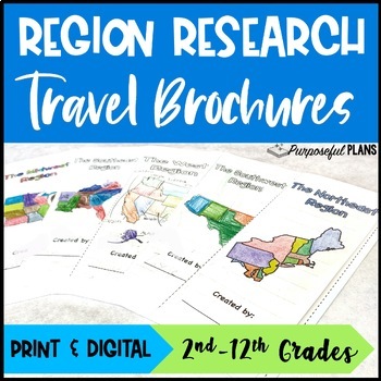
U.S. 5 Regions Research Travel Brochure Project - Digital & Print Templates
Get your students excited about social studies research projects with these fun and engaging travel brochures, rubrics, & checklists templates! There are time-saving U.S. regions research travel brochures, rubrics, & checklists templates. Students will build research & writing skills by working to create an easy-to-use trifold travel brochure. There is a customizable checklist (self eval & peer edit) and rubric for each of the 5 regions travel brochure templates. Have your studen
Grades:
Not Grade Specific
Types:
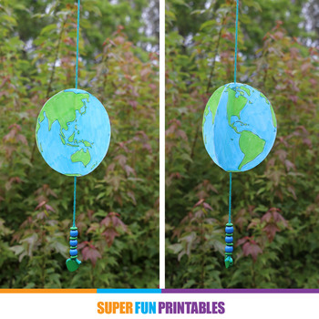
Spinning paper earth craft
Earth Day craft idea for kids - make a spinning 3D paper earth!Make a spinning paper planet earth using this printable template. The template comes in both full colour and colour your own and includes a stylised illustration of the planet from four different angles. The smoother lines and reduced detail make it easier to colour in.Colour in the shapes, cut out and glue together with some string through the middle, then add beads to complete your spinning earth craft. Hang in a spot where it catc
Subjects:
Grades:
Not Grade Specific
Types:
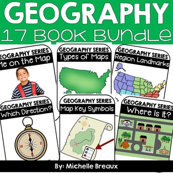
GEOGRAPHY BUNDLE-- Map Skills & Resources Adapted Books (ULS- February Unit)
* 48% SAVINGS * 15 Books & lots of extras!!Doesn’t EVERY student deserve to be engaged and participating science and literacy? Adapted books are just what you need to strengthen vocabulary and build receptive and expressive language, all while interacting in a fun and engaging way. These 15 adapted books all about maps, directions, map symbols, types of maps, landforms, and natural & manmade resources will engage ALL students while reading about geography topics at an easy to comprehend
Subjects:
Grades:
Not Grade Specific
Types:
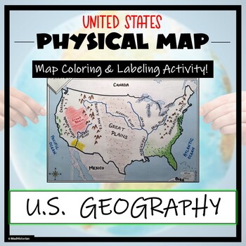
US Physical Map Activity- Label and Color US Physical Features!
This US Geography Map Activity is a MUST for students who are learning about the physical features of the United States! Students will identify, label, and color important geographic elements throughout the country. Directions for labeling and coloring is provided. A completed and colored map is provided for reference, but this map can be completed using a textbook or online resource as well. This is a creative and engaging way of supplementing lessons on geography, topography, and the history
Grades:
Not Grade Specific
Types:
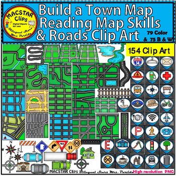
Build a Town Map - Reading Map Skills & Roads Clip Art
Build a Town Map, Reading Map Skills & Roads Clip Art "MACSTAR Clips” 154 Images in totalThis set of clip art will give you the opportunity to create coding (roboticts) games with obstacles . This set includes what you need to build, arrange, and mix and match the clip art. You will receive:79 Color Clip Art: As shown in the preview: 75 Black and White Clip ArtTerms of Use: The clip art may be used in educational commercial products. All images must be secured in a pdf file if you're using
Subjects:
Grades:
Not Grade Specific
WORLD PASSPORT: CULTURES AROUND THE WORLD - Trip Ticket
Just redesigned this passport! Now you can change the text through text boxes in PowerPoint. This can be use by students in the U.S. or by students anywhere in the world. There are 2 options for covers and picture pages for that. (U.S. or Global) I've included pictures of a sample and directions for assembling the passport as well as ideas for creating a Cultures Around the World Day. This template is designed to be printed and the outside glued to blue construction paper or cardstock. Stud
Grades:
Not Grade Specific
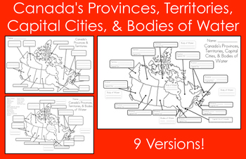
Mapping Canada's Provinces, Territories, Capital Cities, & Bodies of Water
This product includes nine map versions! There are three different types of maps, and each type has three different levels of difficulty designed to meet the needs of all your students!Map #1 - Students must label all of the provinces and territories of Canada.Version 1 - Fill in the blanksVersion 2 - First letter clue givenVersion 3 - Trace over the lettersMap #2 - Students must label all of the provinces, territories, and five bodies of water of Canada. *Word bank provided*Version 1 - Fill in
Subjects:
Grades:
Not Grade Specific
Types:
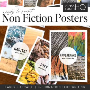
Information Text Writing Word Wall Cards + Posters - BUNDLE
Grab all three sets of our beautiful animal non-fiction word wall cards! Perfect for creating a word wall for learning to write information or informative texts. This set of over 110 different word wall cards focuses on where animals live, what they look like and what they eat. Real life photos have been used throughout to creating this gorgeous resource.Download also includes our three Information Text Posters - Habitat/Appearance/Diet, to help tie the concept together.Use our animal posters to
Subjects:
Grades:
Not Grade Specific
Types:
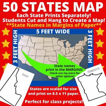
Large Printable Blank United States Wall Map Without State Names
Print the 50 states individually and assemble to create a bulletin board sized map of the United States perfect for class projects in a variety of subject areas! Who doesn't need a customizable U.S. map in their classroom?The completed map measures approximately 5 feet by 3 feet and includes blank outlines of the fifty states. Note that state names are NOT included within the state borders of this version. State names are included in the margins of the paper. Once states are cut, the state n
Subjects:
Grades:
Not Grade Specific
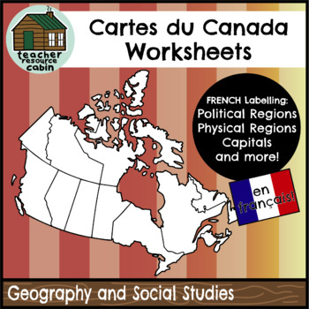
FRENCH Cartes du Canada | Maps of Canada to Label and Colour (10 Maps)
This resource contains 10 worksheets of maps of Canada in FRENCH to support students as they learn to identify and locate all of the provinces, territories, physical regions, and capitals of Canada in French.This resource is made for 8.5"x11" paper, but could be resized using printer settings to accommodate larger paper. This product contains an ANSWER KEY.Map Worksheets Included:Carte politique du Canada (Political map of Canada) (Provinces/Territories) with no title and blank legend template.C
Subjects:
Grades:
Not Grade Specific
Types:
Also included in: MEGA BUNDLE: Grade 4 Ontario FRENCH Social Studies Full Units
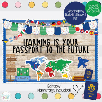
Geography - World Travel Bulletin Board Kit
This bulletin board kit is a must have for your classroom! Perfectly suited for bulletin boards of all sizes, or even your door, your kiddos and parents will love seeing this happy decor!Why a digital bulletin board?Immediate deliveryNever wears out, just print again!Convenient and easy to useSo much cuter then standard in-store optionsIncluded with this purchase:3 Different Sayings in 3 Different Color Choices (Solid Black, Multicolor, & Black Outline)BannerBoard DecorAt-Home Print: PDF (8.
Grades:
Not Grade Specific
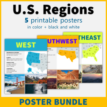
5 Regions of the United States Posters US Regions Geography Classroom Decor
This printable poster bundle of 5 posters in black and white makes it easy to learn about the regions of the United States! These posters are perfect classroom decor for social studies, American history, and geography classes!This bundle includes the following five region posters: NortheastSoutheast Midwest Southwest West Each poster includes a map and representative images, and features information about geographical features, climate, the largest cities in the region, and famous landmarks. The
Grades:
Not Grade Specific
Also included in: American History Posters Classroom Decor Value Bundle
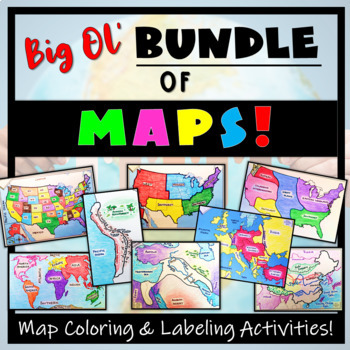
Big Bundle of Map Activities! Color & Label US, World, Conflict Maps & More!
Humans love coloring- tap into your students' interests and apply it to your Social Studies and Geography lessons! 21 different map activities are available and cross many different social studies topics- like American History or Ancient Civilizations. All maps are completely student-centered and act as a great supplement to their learning. These are great to have on hand for homework assignments, independent student work days, to enhance geographical knowledge, and to include in your emergen
Subjects:
Grades:
Not Grade Specific
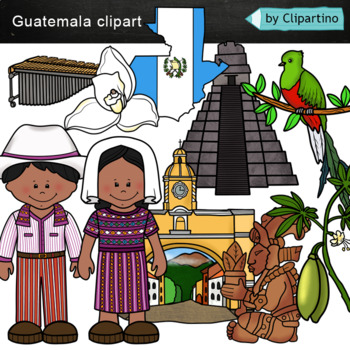
Guatemala clip art Commercial use
Guatemala clipart 10 color PNG&JPG+10 black white (outline) PNG&JPGSize one image about 8 inch by 4 inchFor personal and commercial use.You'll like it!All countries of the worldDownload the archive with the license and logo by the linkhttps://www.teacherspayteachers.com/Product/License-Credit-logo-by-Clipartino-3785741Keywords: spanish colonies, spanish colonization, clipart, sale, bundle, bw, coloring, outline, countries, symbols, map, geography, around the world, landmark, animals, nat
Subjects:
Grades:
Not Grade Specific
Showing 1-24 of 10,641 results

