2,588 results
Higher education geography printables
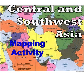
Central and Southwest Asia (Middle East) - Mapping Activity
Map Activity – Central and Southwest AsiaIn this activity, students must locate and identify the countries (and capital cities if so desired) of Central and Southwest (or Middle Eastern) Asia. When students are finished with this, time can be spent coloring in the various countries.Included in this package is a ready-to-copy blackline master map of Central and Southwest Asia along with a separate answer key.This product can also easily be used as a test or quiz.Preview file is available for down
Subjects:
Grades:
4th - 12th, Higher Education, Adult Education
Types:
Also included in: Map Activity Bundle
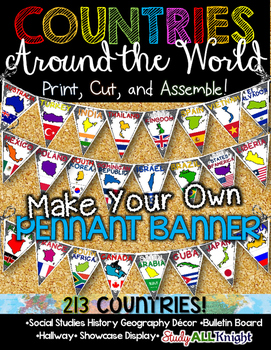
Countries Around the World Classroom Decor Make Your Own Pennant Banner
Worldwide Countries Classroom Decor Make Your Own Pennant BannerGrades K-12 social studies, history, geography, Model UN, global studies, world history Celebrate our world! Teachers can decorate their classrooms, hallway, gymnasium, media center, or anywhere in their building. You'll get 213 pennants to choose from. Pick pennants that represent your student's heritage, ethnicities, backgrounds, ancestry. They are colorful and awesome to look at. The countries pennant will bring enthusiasm and un
Grades:
PreK - 12th, Higher Education, Adult Education, Staff
Also included in: English Teacher Activities and Fun Bundle
Geography and World History, World Map Quizzes, Quiz Bundle
These 8 pre-numbered maps and 16 quizzes will save you hours upon hours of creation and make preparation for assessing students on geographic locations effortless. Each has been designed with a numbered map, reproducible answer sheet and teacher’s answer key. When the class reaches the larger continents such as Europe, Asia, and Africa, it is suggested that the instructor assess the student in sections or regions before assessing them over the entire continent. This will allow students to learn
Grades:
5th - 12th, Higher Education, Adult Education
Types:
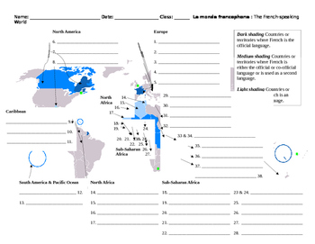
Monde Francophone World Map French-Speaking Countries
Overview: Printable map to label French-speaking countries. Includes answer key. Thirty-seven countries and/or territories listed. Objective: Identify French-speaking countries and territories by labeling a world map.Estimated Time: 10 to 30 minutes (depending on how the teacher would like to enrich it)Suggested/Possible Sequence:1. Students brainstorm or make a list of countries they already know. Teacher verifies student lists.2. Students then use textbooks or maps to identify the countries sh
Subjects:
Grades:
5th - 12th, Higher Education, Adult Education
Types:
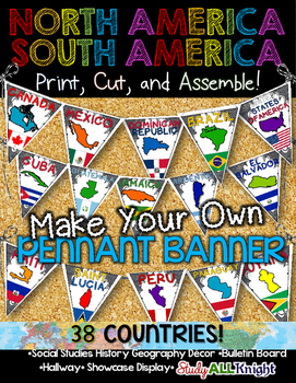
North America South America Classroom Decor Make Your Own Pennant Banner
North America South America Classroom Decor Make Your Own Pennant Banner
Grades K-12 social studies, history, geography, Model UN, global studies, world history
Celebrate our world! Teachers can decorate their classrooms, hallway, gymnasium, media center, or anywhere in their building. You'll get 38 pennants to choose from. Pick pennants that represent your student's heritage, ethnicities, backgrounds, ancestry.
They are colorful and awesome to look at. The countries pennant will bring enthu
Grades:
PreK - 12th, Higher Education, Adult Education, Staff
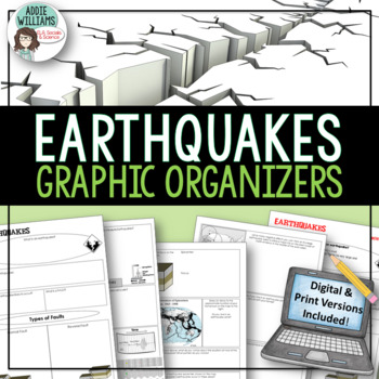
Earthquakes / Faulting Graphic Organizer | Print & Digital
Earthquakes / Faulting Graphic Organizer - A great way for students to organize information on earthquakes and faulting. Instead of asking students to take traditional notes, they fill in the graphic organizer - either as review or instead of standard question and answer in a textbook. Excellent for review or group work. Includes 4 pages of organizers and all answer keys!Also includes a link to a Google™ Slides version of the organizers so students can add text, images, color and more while wo
Subjects:
Grades:
8th - 10th, Higher Education, Adult Education
Also included in: Plate Tectonics / Earthquakes / Volcanoes Organizers | PRINT & DIGITAL
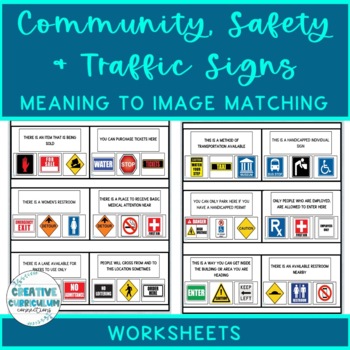
Community, Safety & Traffic Signs Sign Definition to Image Matching Worksheets
For this community instruction based lesson, students are presented with varying community, traffic, or safety signs visually/in word form. Students will work on their functional vocabulary skills by identifying the sign's name and image. Students are asked to review the provided sign meaning or definition and match it to its image, out of an array of three. Students will work on identifying sign based vocabulary words, reading signs, defining signs/understandings purpose and more!There are 15 w
Subjects:
Grades:
1st - 12th, Higher Education, Adult Education
Types:
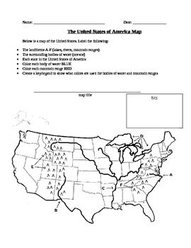
Geography: United States Map Exercise
This activity is a map of the United States containing some landforms and physical features as well as political state lines. Students are asked to label landforms like mountain ranges, rivers, lakes, and bodies of water as well as the state names. Students are also asked to create a map title and a legend to show what colors they used to color in bodies of water and mountain ranges.
Subjects:
Grades:
3rd - 12th, Higher Education
Types:
Capybaras' Revenge (Current Events) - 3 versions + activities in Spanish
La revancha de los carpinchos is a current event from 2021 in the suburbs of Buenos Aires, Argentina. Due to habitat loss, capybaras have invaded private, gated communities in search of food. But, who are the real invaders?This resource features three versions of La revancha de los carpinchos, all written in Spanish: Básico, Intermedio, and Avanzado. The Básico text will be a good fit for students that are nearing the end of their first year of Spanish, particularly students that have completed
Subjects:
Grades:
7th - 12th, Higher Education
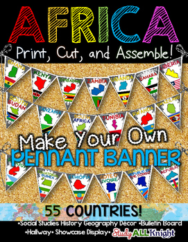
Africa Classroom Decor Make Your Own Pennant Banner
African Countries Classroom Decor Make Your Own Pennant Banner
Grades K-12 social studies, history, geography, Model UN, global studies, world history
Includes:
Ready for you to easily line up by using the directions on how to assemble. The preview shows more!
Includes:
★55 pennant printables – each flag represents a country: the name of the country, the country outline, and their flag.
55 COUNTRIES/ TERRITORIES:
Algeria
Angola
Benin
Botswana
Burkina Faso
Burundi
Cameroon
Cape Verde
Central A
Grades:
K - 12th, Higher Education, Adult Education, Staff
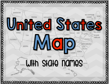
United States Map with State Names
You're search for the PERFECT United States map is over!
This black and white version has student learning in mind and contains the FULL STATE NAMES! This map is also part of my larger bundle on the Electoral College.
Click here to view it!
If you have any questions regarding any part of this product, please do not hesitate to contact me.
Thank you!
Subjects:
Grades:
1st - 12th, Higher Education, Staff
Types:
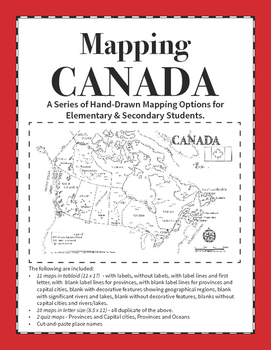
Mapping Canada Series
This is a resource that includes 12 different versions of the map of Canada in both letter and tabloid format and is designed for differentiated learning. These maps can be used for primary grades to learn place names, for intermediate and upper grades as a base map for mapping trade routes, resources, or illustrating concepts that require mapping. The maps are hand drawn and designed so that oceans are easy to identify.
There is also two choices for mapping assignments, depending on the grade,
Grades:
3rd - 12th, Higher Education
Types:
Also included in: Mapping Canada Bundle
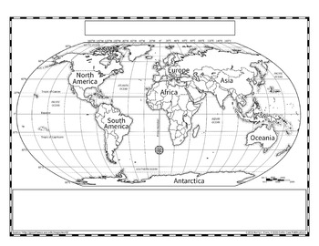
Political World Map (Robinson Projection)
The Robinson projection of the world map is the version that Rand McNally used in their books. This provides a more accurate representation of country size without the confusing nature of an interrupted map, such as the Goode's Projection.
I created this map extra large so that it could be scanned and reduced more accurately, especially when representing the tiny countries. Since this is a hand drawn map, there may be slight errors in the country boundaries, but I have tried to be as accurate a
Grades:
3rd - 12th, Higher Education, Adult Education
Types:
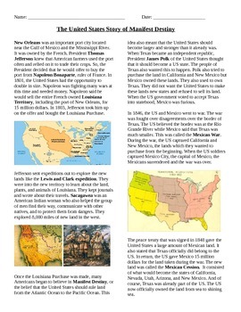
Manifest Destiny: The Story
This document contains the story as to how the US became so large. It talks about the Louisiana Purchase, Louis and Clark, Gadsden Purchase, Mexican Session, Texas annexation, Oregon Territory, and the Oregon Trail. There are questions to follow
Grades:
6th - 12th, Higher Education
Types:
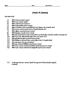
Create A Country Activity ( Great End of the Year Activity )
In this activity, students will "create their own country". Students will answer a variety of detailed questions regarding their country as well as draw out their country's flag & draw a map of their country. Assignment should take 60-130 minutes depending on student ability levels. Color pencils/crayons are required.
Grades:
4th - 12th, Higher Education
Types:
Tourism: Bundle Of 5 Reading Comprehension Lessons (Excellent Value!)
30% discount when you purchase all 5 lessons!*INCLUDES SPECIAL BONUS TEMPLATE PACK FREE-OF-CHARGE*This is an excellent-value lesson bundle of 5 flexible reading comprehension-based lessons based on the 'Tourism' scheme of work.This bundle contains the following lessons:Exploring the Tourist Experience: Sightseeing, Culture, Nature, and Beyond. This lesson delves into various aspects that attract tourists to different destinations, including sightseeing, culture, nature, food, history, relaxation
Grades:
7th - 12th, Higher Education, Adult Education
Types:
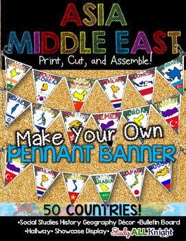
Asia Middle East Countries Classroom Decor Make Your Own Pennant Banner
Asia Middle East Countries Classroom Decor Make Your Own Pennant Banner
Grades K-12 social studies, history, geography, Model UN, global studies, world history
Includes:
Ready for you to easily line up by using the directions on how to assemble. The preview shows more!
Includes:
★50 pennant printables – each flag represents a country: the name of the country, the country outline, and their flag.
50 COUNTRIES/ TERRITORIES:
Afghanistan
Armenia
Azerbaijan
Bahrain
Bangladesh
Bhutan
Brunei
Cambodi
Grades:
K - 12th, Higher Education, Adult Education, Staff
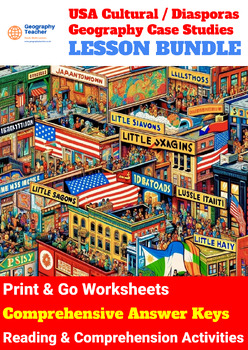
United States Cultural (DIASPORA) Geography Case Studies (14-Lesson Bundle No 4)
Unmissable 30% discount when you purchase all 14 lessons!*INCLUDES SPECIAL BONUS TEMPLATE PACK FREE-OF-CHARGE*This is a great-value lesson bundle of 14 flexible reading comprehension-based lessons based on United States Cultural (Diaspora) Geography Case Studies.Students studying United States Cultural/Diaspora Geography Case Studies will gain a comprehensive understanding of the historical contexts, cultural landmarks, and community dynamics within various ethnic enclaves across urban America.
Grades:
8th - 12th, Higher Education, Adult Education, Staff
Types:
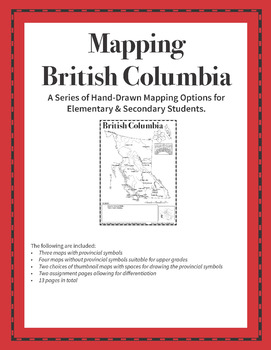
Mapping British Columbia
This series of hand-drawn (not vector) black-line maps is for the province of British Columbia. There are seven maps in this unit for use from 3rd Grade to Secondary. It is one of the five main regions of Canada (BC, Prairie Provinces, Ontario & Quebec, Atlantic Provinces and The North). There are two assignment pages as well as two pages for drawing the provincial symbols. I have included a page of explanation and ideas which you can view on the preview.
Please let me know what you like an
Subjects:
Grades:
3rd - 12th, Higher Education
Types:
Also included in: Mapping Canada Bundle
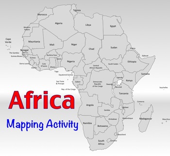
Africa Map Activity
Map Activity – Africa
In this activity, students must locate and identify the countries (and capital cities if so desired) of Africa. When students are finished with this, time may be spent coloring in the various countries.
Included in this package is a ready-to-copy blackline master map of Africa along with a separate answer key.
Also included are PowerPoint slides of the region so that answers can be shared and discussed.
Additionally, this activity could also easily be used as a test or
Subjects:
Grades:
4th - 12th, Higher Education
Types:
Also included in: Map Activity Bundle
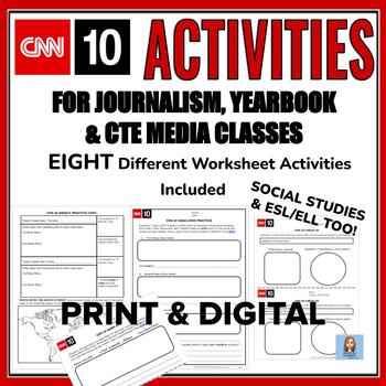
CNN 10 Worksheets for Journalism, YB, CTE Media & Social Studies Too!
CNN 10 is so useful in the classroom and fun. These worksheet activities (In PDF or on Google Slides) go over the important journalism/CTE words and concepts. And most importantly, these worksheets will help your journalists and CTE students to write better HEADLINES and captions. Also, included is an article that you can use to remind students how to write headlines.And if you teach social studies, these activities can be really helpful learning terms and geography.These worksheets align with t
Grades:
7th - 12th, Higher Education
Types:
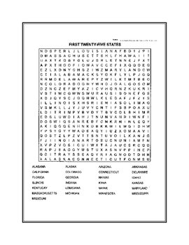
Fifty States Word Search
United States word search. Fifty states broken down in two puzzles.
Subjects:
Grades:
4th - 12th, Higher Education
New Zealand Country Study (9-Lesson Geography Bundle)
Unmissable 30% discount when you purchase all 9 lessons!*INCLUDES SPECIAL BONUS TEMPLATE PACK FREE-OF-CHARGE*This is a great-value lesson bundle of 9 flexible reading comprehension-based lessons based on the 'New Zealand: Country Study' geography scheme of work. Studying the Geography syllabus "New Zealand Country Study" offers students a comprehensive understanding of New Zealand's geographical, social, political, economic, and environmental landscapes. In Lesson 1, students gain an introductio
Grades:
8th - 12th, Higher Education, Adult Education, Staff
Types:
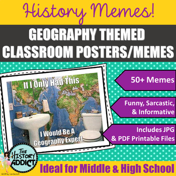
Geography Themed Classroom Posters (Memes)
What is a meme? Students will no doubt know exactly what a meme is, but probably have a hard time defining one. Essentially memes are humorous images or a piece of text that is spread rapidly by Internet users. Yep. That’s the basic definition. But who cares about that? Well, your students, of course. They create and distribute memes to their friends all the time. Why not take advantage of what they love doing and incorporate it in your classroom? One of my favorite ways to connect with students
Grades:
5th - 12th, Higher Education, Adult Education
Also included in: Middle Grade Geography Instructional Bundle
Showing 1-24 of 2,588 results


