854 results
Not grade specific geography assessments
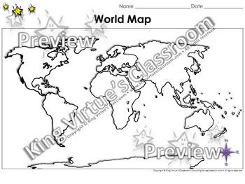
World Map: Continents and Oceans - Blank - Full Page - King Virtue's Classroom
World Map: Continents and Oceans - Blank - Full Page - King Virtue's ClassroomWorking on your unit on Map Skills? This map is the perfect resource for you! Use it to review the 7 continents and 5 oceans with your students.This set includes:1 map sheetEnjoy!:)Copyright © King Virtue’s Classroom • www.kingvirtuesclassroom.com • All rights reserved.
Grades:
Not Grade Specific
Types:
Also included in: Social Studies MegaBundle - King Virtue's Classroom
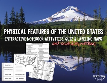
Physical Features of the United States Activities
Take your study of Geographic Features step further by having students practice labeling the geographic features on maps for their interactive notebooks. Included are maps, a quiz, and 2 different interactive notebook foldables about Physical Features of the United States. Students will have a better understanding of locating and labeling 8 of the US geographic features including....Death ValleyGreat LakesGreat BasinGreat PlainsMississippi RiverGulf of MexicoAtlantic Coastal Plain Continental D
Grades:
Not Grade Specific
Types:
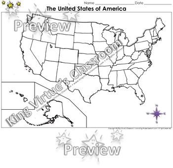
The United States of America Map - Blank - Full Page - King Virtue's Classroom
The United States of America Map - State Lines - Blank - Full Page - King Virtue's ClassroomWorking on your unit on Map Skills? This map is the perfect resource for you! Use it to review The United States of America with your students.This set includes:1 map sheetEnjoy!:)Copyright © King Virtue’s Classroom • www.kingvirtuesclassroom.com • All rights reserved.
Grades:
Not Grade Specific
Types:
Also included in: Social Studies MegaBundle - King Virtue's Classroom
The 5 Regions of the United States | GAMES Bump Bundle
Want your kids to master the states, capitals, or abbreviations, but short on prep time? These differentiated games make learning the content a breeze with very little effort. Grab some paperclips and connecting cubes, press print, and you’re ready! ⭐⭐⭐⭐⭐⭐⭐⭐⭐⭐⭐⭐⭐⭐⭐⭐⭐⭐⭐⭐⭐⭐⭐⭐⭐⭐⭐⭐⭐⭐⭐⭐⭐⭐⭐⭐⭐⭐Teachers rave about these games!❤️"These are AWESOME!!! The perfect way to study states and capitals with my 4th graders. They're engaged, they love it, it's hands on, AND I can send it home as a fun study guide
Subjects:
Grades:
Not Grade Specific
Types:
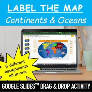
Label the Map - Continents and Oceans | Google Slides™ Drag & Drop Activity
Let your students have fun labeling Earth’s 7 continents and 5 oceans with this interactive mapping Google Slides™ Drag & Drop Activity. The digital resource comes with 6 different assignments all-in-one, as well as two different color schemes. The activity is designed for Google Classroom users, but can ALSO be downloaded, printed and used as a handout in the classroom. Pick and choose what best serves your classroom. Click HERE if you want a cut and paste version of the same activity with
Subjects:
Grades:
Not Grade Specific
Types:
One Pager Templates
Give your students to opportunity to respond to what they have learned in a creative way with one pagers! This product includes 16 one pager templates that are perfect for students who haven't never completed a one pager before, or students who are unsure how to create their own one pager layout. Here's what you'll get:16 one pager templatesGreat to use for:♦ In-unit activity♦ Formative assessment♦ Summative assessment ___________________________________Copyright © Culture Over Content.Permissi
Grades:
Not Grade Specific
Types:
Also included in: Classroom Culture Toolkit
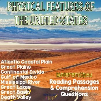
Physical Features of the US- Reading Passages for Geographic Landforms Bundle
In this resource, there is a nonfiction reading passage based on the geographic features & landmarks of the Great Plains, Great Basin, Atlantic Coastal Plain, St. Lawrence River, Great Lakes, Death Valley, Continental Divide, Man-made features (Boston, NYC, Philadelphia, Lake Erie), and the Gulf of Mexico. It is differentiated for your high, mid, and lower level students as you study the geography of the United States. Integrate social studies content with your reading texts and meet each re
Subjects:
Grades:
Not Grade Specific
Types:
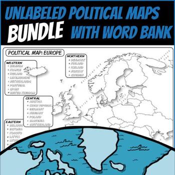
*UNLABELED POLITICAL MAP BUNDLE* **Coloring Book Series**
**Un-LABELED MAPS with Word Banks**These unlabeled political maps are ready for students to use. Each independent country and state is left blank, but with a nearby word bank so that students can fill in the map themselves. Students can use these to create choropleth maps, practice rote memorization, or annotate along with your lecture.These are particularly great for any social studies or physical science classroom.Included:Un-Labeled Africa Map Un-Labeled Asia Map Un-Labeled East Asia Map Un-L
Grades:
Not Grade Specific
Types:
US Rivers & Mountains Vocabulary and Location Sort
Are your students studying the major rivers and mountains of the United States? This sort incorporates major facts about six major US rivers and the Appalachian and Rocky Mountains. There are many clues included for each river and mountain range, along with a map of each that students must identify as well. Students could use Google Earth, maps, textbooks, or other resources to support this activity as well! This can serve as a review or even a test-prep assessment right before those upcoming s
Grades:
Not Grade Specific
Types:
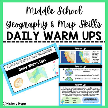
Geography & Map Skills DAILY WARM UPS
3 WEEKS WORTH OF DAILY WARM UPS!This 32-page file is the perfect way to begin your Social Studies class every day. The students come in, open up their notebooks, and answer the daily question(s). I also use this file to review for final exams and the BIG state test at the end of the year.The warm up slides feature geography based questions including types of maps, map features, and map skills. This file also includes an answer key slide for each day. This resource would best be suited for 4th-8t
Grades:
Not Grade Specific
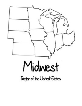
Four Regions of the United States Maps & Test
This packet contains four sets of map showing the four regions of the United States (Northeast, South, Midwest, and West). This contains a set of blank maps divided by region, regionally divided maps labeled by state, regionally divided numbered map without a word bank (for assessment), and regionally divided numbered map with a word bank (for assessment). It also includes an assessment to test the knowledge of the locations of the states.
Subjects:
Grades:
Not Grade Specific
Countries of the World Map Quiz Bundle
Teach your students about world geography with this resource bundle. Practice maps and numerous no-prep, easy-to-grade quizzes are included to help students learn the location of countries in Africa, Asia, Europe, Oceania, and North and South America. They would be great for mapping practice or formal assessment. Multiple different quizzes are included for each region for added test security. Answer keys are included for quick and easy grading.You save 20% off the purchase price of each resource
Subjects:
Grades:
Not Grade Specific
Types:
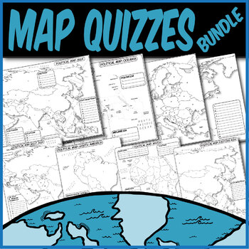
*QUIZZES BUNDLE* Political Maps **Coloring Book Quiz Series**
**MAP QUIZZES**Included:Africa Map QuizAsia Map QuizEast Asia Map QuizWestern Asia Map QuizEurope Map QuizN. America/C. America Map QuizS. America Map QuizOceania Map QuizThese blank political map quizzes are ready for students to label. Each independent country is labeled with a letter than corresponds to a blank space.These are particularly great for AP Human Geography, AP European History, AP World History, any social science, or physical science course.The formats are .PNG to allow for you t
Grades:
Not Grade Specific
Types:
Great Plains Differentiated Close Reading Passages & Questions
In this United States Geography resource, there is a nonfiction reading passage based on general information about the Great Plains. It is differentiated for your high, mid, and lower level students. Integrate social studies content with your reading texts and meet each reader's needs with this set. Add rigor to the lesson with three different types of questions. Perfect for a US Physical Features or Geography and Landforms unit introduction, or easy as a quick review or homework.
Guided Readin
Subjects:
Grades:
Not Grade Specific
Types:
Comparing the North and South in the Civil War Reading Passages Leveled Texts
In this resource, there is a nonfiction reading passage comparing the north and the south during the time of the Civil War. It is differentiated for your high, mid, and lower level students as you study about the Civil War. Integrate US History content with your reading texts and meet each reader's needs with this set. Guided Reading Levels: L-N-O
Differences between the North and the South HIGHER Leveled Texts
Slave Trade Leveled Texts
$Why should I purchase this passage set?$
• Textbooks a
Subjects:
Grades:
Not Grade Specific
Types:
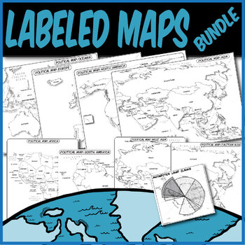
*LABELED POLITICAL MAP BUNDLE* **Coloring Book Series**
**LABELED MAPS**Included:Labeled Africa Map Labeled Asia Map Labeled East Asia Map Labeled Western Asia Map Labeled Europe Map Labeled N. America/C. America Map Labeled S. America Map Labeled Oceania Map Labeled Antarctica Claims MapThese labeled political maps are ready for students to use. Each independent country and state is pre-labeled. Students can use these to create choropleth maps, practice rote memorization, or annotate along with your lecture.These are particularly great for AP Human
Grades:
Not Grade Specific
Types:
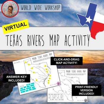
Virtual Texas Rivers Map Activity (Print Version Included)
Hello, educators! Welcome to the Virtual Texas Rivers Map Activity! This activity is the first of its kind on this site . . . it's a fun click-and-drag Texas History and Geography activity that's perfect for hybrid, in-person, and virtual learning! Make it a game with partners or groups for a fun challenge! Make social studies come alive for your students with this unique click-and-drag activity! Printer friendly version available as well as keys for the map!This was made with Google Slides and
Grades:
Not Grade Specific
Types:
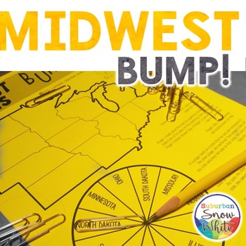
The 5 Regions of the United States GAMES: The MIDWEST | Capitals
Want your kids to master the states, capitals, or abbreviations, but short on prep time? These differentiated games make learning the content a breeze with very little effort. Grab some paperclips and connecting cubes, press print, and you’re ready!⭐⭐⭐⭐⭐⭐⭐⭐⭐⭐⭐⭐⭐⭐⭐⭐⭐⭐⭐⭐⭐⭐⭐⭐⭐⭐⭐⭐⭐⭐⭐⭐⭐⭐⭐⭐⭐⭐Teachers rave about these games!❤️"These are AWESOME!!! The perfect way to study states and capitals with my 4th graders. They're engaged, they love it, it's hands on, AND I can send it home as a fun study guide t
Subjects:
Grades:
Not Grade Specific
Types:
Also included in: The 5 Regions of the United States | GAMES Bump Bundle
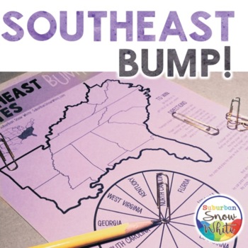
The 5 Regions of the United States GAMES: The SOUTHEAST | Capitals
Want your kids to master the states, capitals, or abbreviations, but short on prep time? These differentiated games make learning the content a breeze with very little effort. Grab some paperclips and connecting cubes, press print, and you’re ready!Want your kids to master the states, capitals, or abbreviations, but short on prep time? These differentiated games make learning the content a breeze with very little effort. Grab some paperclips and connecting cubes, press print, and you’re ready!⭐⭐
Subjects:
Grades:
Not Grade Specific
Types:
Also included in: The 5 Regions of the United States | GAMES Bump Bundle
Life Skills Reading and Writing: Google Maps - Distance Learning - BUNDLE
| Life Skills Reading | Writing | Maps | Google Maps | BUNDLE | Special Education | Distance Learning | Google | Looking to get a whole DIGITAL unit on Google Maps? Look no further!! This four-set unit has everything you will need to teach your students an invaluable life skill that they will use for years to come!! Buy this bundle and save 20%! Instead of paying $20, you can get them all for $16! Are you interested in the PRINT AND GO version of this activity instead? You can find it by CLICKIN
Subjects:
Grades:
Not Grade Specific
Types:
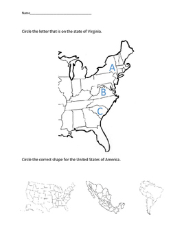
VAAP Geography - Identify Shape America & Virginia HS-G1(c)
A simple multiple choice worksheet for VAAP Social Science Reporting Category GEOGRAPHY HS-G1(c) "identifying the shapes of the United States and Virginia on maps and globes". Appropriate for all levels.
Subjects:
Grades:
Not Grade Specific
Types:
Physical Features of the United States {Interactive Notebook Sort}
There are so many amazing physical features in America! Let's show our students where they are located using these geographic feature activities. Make sure that your students are able to distinguish between the many features as your class studies the physical geography of the United States. This would be a perfect assessment or interactive notebook activity. Students will need scissors and glue to complete, but other than that, prep work is print and go! There are 2 options for differentiation b
Subjects:
Grades:
Not Grade Specific
Types:
The 5 Regions of the United States Games: The WEST
Want your kids to master the states, capitals, or abbreviations, but short on prep time? These differentiated games make learning the content a breeze with very little effort. Grab some paperclips and connecting cubes, press print, and you’re ready!⭐⭐⭐⭐⭐⭐⭐⭐⭐⭐⭐⭐⭐⭐⭐⭐⭐⭐⭐⭐⭐⭐⭐⭐⭐⭐⭐⭐⭐⭐⭐⭐⭐⭐⭐⭐⭐⭐Teachers rave about these games!❤️"These are AWESOME!!! The perfect way to study states and capitals with my 4th graders. They're engaged, they love it, it's hands on, AND I can send it home as a fun study guide t
Subjects:
Grades:
Not Grade Specific
Types:
Also included in: The 5 Regions of the United States | GAMES Bump Bundle
Time Zones - Life Skills - Special Education - Reading - Math - Geography
| Time Zones | Life Skills | Special Education | Travel | Geography | Reading | Math |Many students struggle with understanding time zones. Whether using them for knowing when to watch a specific TV show or planning for a family vacation, comprehending time zones is a major soft skill for students to master in the real world.This PRINT AND GO packet walks students step by step through the six different time zones found in the United States. It scaffolds understanding by breaking down the math in
Subjects:
Grades:
Not Grade Specific
Types:
Showing 1-24 of 854 results


