8,911 results
Geography worksheet microsofts
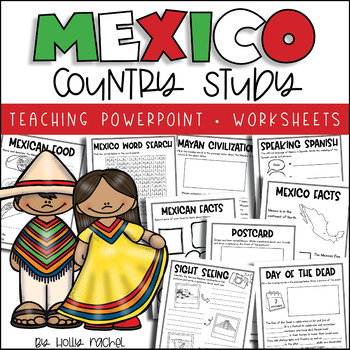
All About Mexico - Country Study
Your students will love learning all about Mexico with this fun country study! Included is a Powerpoint slideshow (.pptx) to teach your class all about Mexico, the capital city, flag, food, language, famous landmarks, the Day of the Dead and the Mayan Civilization! Student activity worksheets are also included based on the facts in the Powerpoint (all differentiated on two levels to support the different abilities in your class), plus a Mexico word search, postcard activity and favorite facts ac
Subjects:
Grades:
1st - 3rd
Also included in: Country Study Bundle
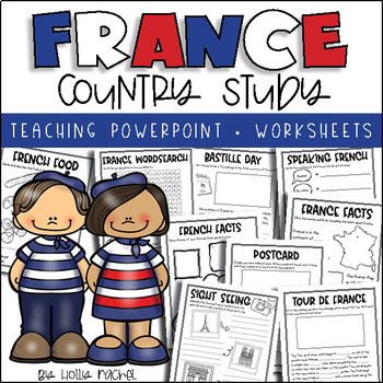
All About France - Country Study
Your students will love learning all about France with this fun country study! Included is an all about France Powerpoint presentation (.pptx) to teach your class all about France, the capital city, flag, food, language, famous landmarks, Bastille Day and the Tour de France! Student activity worksheets are also included based on the facts in the Powerpoint (all differentiated on two levels to support the different abilities in your class), plus a France word search, postcard activity and favorit
Subjects:
Grades:
1st - 3rd
Also included in: Country Study Bundle
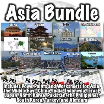
Asia Bundle
This Asia bundle contains PowerPoint/Google Slides presentations and worksheets for the continent of Asia, the Middle East region, and the countries of China, India, Indonesia, Israel, Japan, North Korea, Pakistan, the Philippines, South Korea, Thailand, Turkey, and Vietnam. PDFs, PowerPoints, and links to download versions formatted for Google Apps are included. This bundle also includes two optional 50-question assessments- one focusing on South and Southwest Asia and the other focusing on Eas
Grades:
6th - 8th
CCSS:
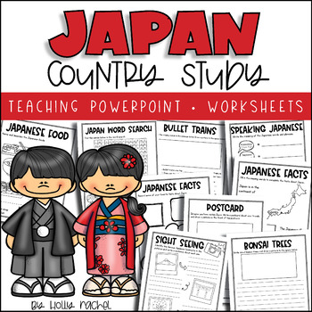
All About Japan - Country Study
Your students will love learning all about Japan with this fun country study! Included is an all about Japan Powerpoint presentation (.pptx) to teach your class all about Japan, the capital city, flag, food, language, famous landmarks, bullet trains and bonsai trees! Student activity worksheets are also included based on the facts in the Powerpoint (all differentiated on two levels to support the different abilities in your class), plus a Japan word search, postcard activity and favorite facts a
Subjects:
Grades:
1st - 3rd
Also included in: Country Study Bundle
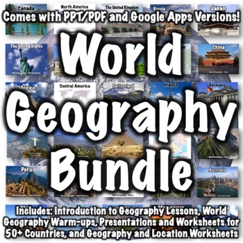
World Geography Bundle
This bundle includes over 100 world geography products. Several products that follow a similar format to products in the bundle are available for free if you want to check them out, including:Introduction to World Geography PresentationIntroduction to World Geography WorksheetUnited States Geography WorksheetEurope Location WorksheetChina Presentation China WorksheetItaly PresentationItaly WorksheetProducts in the bundle include:Introduction to Geography:Introduction to World Geography Presentat
Subjects:
Grades:
5th - 8th
CCSS:
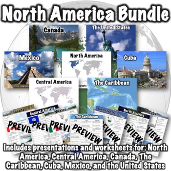
North America Bundle
This bundle includes the following products:Canada PowerPointCanada WorksheetThe Caribbean PowerPointThe Caribbean WorksheetCentral America PowerPointCentral America WorksheetCuba PowerPointCuba WorksheetMexico PowerPointMexico WorksheetNorth America PowerPointNorth America WorksheetThe United States PowerPointUnited States WorksheetPDFs, PowerPoints, and links to download versions formatted for Google Apps are included. An optional 50-question assessment is also included as both a word doc and
Subjects:
Grades:
5th - 8th
CCSS:
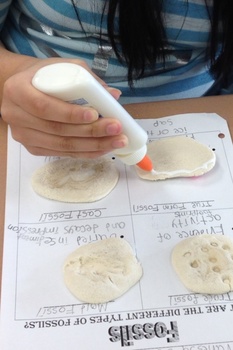
Types of Fossils Activity
Different types of fossils. True form, cast, mold, and trace fossils. Students will replicate each type of fossil and glue it to the handout.
Subjects:
Grades:
1st - 10th
Types:
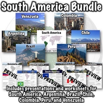
South America Bundle
This South America bundle includes the following products:South America PowerPointSouth America WorksheetArgentina PowerPointArgentina WorksheetBrazil PowerPointBrazil WorksheetChile PowerPointChile WorksheetColombia PowerPointColombia WorksheetPeru PowerPointPeru WorksheetVenezuela PowerPointVenezuela WorksheetPDFs, PowerPoints, and links to download versions formatted for Google Apps are included!An optional 50-question assessment is also included as both a word doc and a Google Form. Due to t
Grades:
6th - 8th
CCSS:
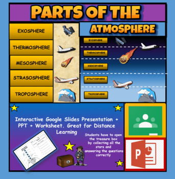
Layers Of The Atmosphere: Interactive Google Slides + PPT Version + Worksheet
Layers Of The Atmosphere: Interactive Google Slides + PPT + Worksheet (Distance Learning)Interactive presentation & quiz on Layers of the atmosphere. Please view the powerpoint previewINTERACTIVE GOOGLE SLIDES/POWER POINT PRESENTATION on layers of the atmosphere. It can be used for distance learning and google classroom or within the classroom.Once downloaded: Please view the GOOGLE SLIDES/POWERPOINT IN 'PRESENT ▶️' modeWorksheet also included in ZIP file 'Parts of the atmosphere' .These are
Subjects:
Grades:
3rd - 8th
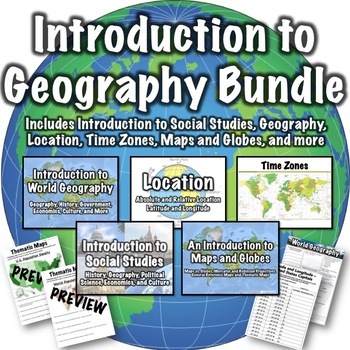
Geography Introduction Bundle
This geography introduction bundle includes the following products: Introduction to World Geography PresentationIntroduction to World Geography WorksheetIntroduction to Social Studies PresentationLatitude and Longitude Worksheet - U.S. CapitalsLocation PresentationMaps and Globes PresentationThematic Maps Worksheets OneThematic Maps Worksheets TwoTime Zones PresentationPowerPoints, PDFs, and links to download versions formatted for Google Apps are included. Guided notes pages are included with t
Subjects:
Grades:
5th - 8th
CCSS:
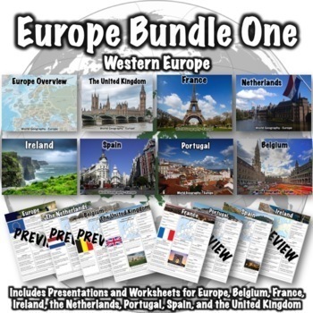
Europe Bundle One
This Europe bundle covers Western Europe and includes the following products:Europe PresentationEurope WorksheetBelgium PresentationBelgium WorksheetFrance PresentationFrance WorksheetIreland PresentationIreland WorksheetNetherlands PresentationNetherlands WorksheetPortugal PresentationPortugal WorksheetSpain PresentationSpain WorksheetThe United Kingdom Presentation The United Kingdom WorksheetPDFs, PowerPoints, and links to download versions formatted for Google Apps are included. An optional
Grades:
5th - 8th
CCSS:
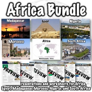
Africa Bundle
This Africa bundle includes the following products:Africa PresentationAfrica WorksheetEgypt PresentationEgypt WorksheetMadagascar PresentationMadagascar WorksheetMorocco PresentationMorocco WorksheetNigeria PresentationNigeria WorksheetSouth Africa PresentationSouth Africa WorksheetPDFs, PowerPoints, and links to download versions formatted for Google Apps are included. An optional 25-question assessment is also included as both a Word doc and a Google Form. Due to the amount of information cove
Grades:
5th - 8th
CCSS:
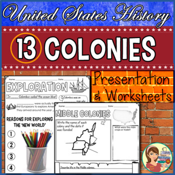
13 Colonies Presentation & Doodle Notes
The thirteen original colonies and colonial exploration are introduced in a 25-slide presentation (PowerPoint & Google Slide options). Plus, you can keep your students' attention with guided notes! The notes are designed in an engaging format allowing for students to add some color to their papers.This zipped file includes:★ Settling America PowerPoint / Google Slides: This 25-slide presentation introduces students to the development of the 13 British colonies and more. It begins by looking
Grades:
4th - 6th
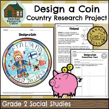
Country Research Project - Design a Coin (Grade 2 Ontario Social Studies)
This project is intended as a culminating task for Grade 2 Social Studies - Global Communities, aligned with the new 2023 Ontario Social Studies curriculum. Students will research different countries. To make the research process simple, easy-to-read country texts are included for 20 different countries: Australia, Bangladesh, Brazil, Canada, China, Egypt, Finland, Germany, India, Indonesia, Italy, Japan, Kenya, Mexico, Nigeria, Pakistan, Russia, Ukraine, The United Kingdom, and The United State
Grades:
2nd
Also included in: Grade 2 Ontario Social Studies Workbook Bundle
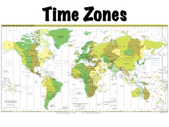
Time Zones
Time zones presentation: this is a lesson on time zones that I use with my students. Includes a simple 10 question worksheet on time zones in the United States and an optional, somewhat more challenging worksheet on world time zones, where students have to determine what time it is at locations around the world given the current time. Included in the presentation are:Definitions of time zones, the prime meridian, the international date line, and daylight savings timeThe history of time zonesHow
Subjects:
Grades:
4th - 7th
Also included in: Geography Introduction Bundle
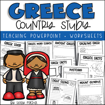
All About Greece - Country Study
Your students will love learning all about Greece with this fun country study! Included is an all about Greece Powerpoint presentation (.pptx) to teach your class all about Greece, the capital city, flag, food, language, famous landmarks, Ancient Greece and Mount Olympus! Student activity worksheets are also included based on the facts in the Powerpoint (all differentiated on two levels to support the different abilities in your class), plus a Greece word search, postcard activity and favorite f
Grades:
1st - 3rd
Also included in: Country Study Bundle
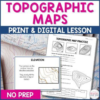
Topographic Maps Complete Lesson | Topographic Map Activity
Your students will be reading topographic maps in a snap with this complete topographic map lesson. Included in this digital and print topographic map lesson are no-prep resources to teach your students to read contour lines, determine contour intervals, and identify elevation. The digital version can easily be shared in Google Classroom.Take a look at the in-depth preview for a closer look at this topographic map resource! Included in this topographic map resource:Topographic Map Presentation
Subjects:
Grades:
4th - 8th
NGSS:
4-ESS2-2
Also included in: Topographic Map Activity and Topographic Map Worksheets Bundle
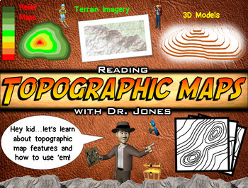
Topographic Maps PowerPoint & Worksheet: FULLY LOADED!
This Topographic Map slide show brings the adventure to your students! Have fun while learning about how to read topographic maps, contour lines, and relief maps. Unlike any animated presentation you have seen before, this visually appealing display will make topographic maps much easier for students of a variety of ages to understand. It emphasizes how to read these types of maps whenever students encounter them in the future. This is also a perfect instructional tool for "distance learning."In
Subjects:
Grades:
4th - 8th
Also included in: Science PowerPoint Bundle: FULLY LOADED
Central America and the Caribbean Mapping Activity
This product is a mapping activity on the region of Central America and the Caribbean. Students will label and color 26 different countries and territories as well as draw and label major physical features. When students have completed the map they will then answer 10 questions based on their map.This product also contains a blackline political maps of the region. I typically make the map a 11x17 making it easier for students to label countries and physical features.This is a rigorous map projec
Grades:
6th - 12th
Types:
Also included in: Geography Mapping Activities BUNDLE
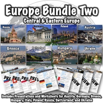
Europe Bundle Two
This Europe Bundle Two covers Central and Eastern Europe and includes the following products:Austria PresentationAustria WorksheetGermany PresentationGermany WorksheetGreece PresentationGreece WorksheetHungary PresentationHungary WorksheetItaly PresentationItaly WorksheetPoland PresentationPoland WorksheetRussia PresentationRussia WorksheetSwitzerland PresentationSwitzerland WorksheetUkraine PresentationUkraine WorksheetPDFs, PowerPoints, and links to download versions formatted for Google Apps
Grades:
6th - 8th
CCSS:
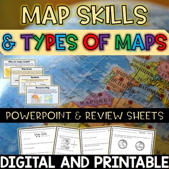
Map Skills and Types of Maps Editable PowerPoint and Review Sheets
Let’s make a geography unit about maps more engaging by starting off your lesson with this 100% editable PowerPoint! After OR during the PowerPoint, have students fill in the review sheets to check for understanding. Topics included: What are maps? Why are maps useful? Globes Map scales Compass rose (cardinal and intermediate directions)Map key / legend Symbols Types of maps (political, physical, climate, resource, road)EquatorPrime meridian Hemispheres Latitude and Longitude Cartographer Contin
Subjects:
Grades:
3rd - 5th
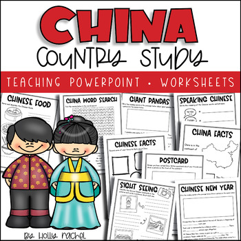
China Country Study
Your students will love learning all about China with this fun country study! Included is an all about China Powerpoint presentation (.pptx) to teach your class all about China, the capital city, flag, food, language, famous landmarks, Chinese New Year and giant pandas! Student activity worksheets are also included based on the facts in the Powerpoint (all differentiated on two levels to support the different abilities in your class), plus a China word search, postcard activity and favorite fact
Subjects:
Grades:
1st - 3rd
Also included in: Country Study Bundle
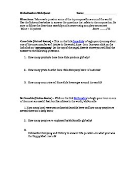
Globalization Webquest IKEA, COKE, WALMART, MCDONALDS Geography Culture Webquest
Globalization Webquest IKEA, COKE, WALMART, MCDONALDS Geography Culture Webquest ActivityNeed a computer with internet access.Explore the globalization of four companies with this webquest.
Grades:
6th - 10th
Types:
Mis amigos africanos | Spanish Bundle
Mis amigos africanos | Spanish BundleEste bundle incluye una presentación en PowerPoint las hojas de tarea para trabajar el tema "Mis amigos africanos" de la unidad 1.1 de la clase de Adquisición a la Lengua del departamento de Educación de Puerto Rico.Este bundle es para un solo uso personal. Un solo salón de clases. No se puede copiar, revender o compartir. No colocar en Facebook o grupos de redes sociales públicas.Gracias por su apoyo. No olviden visitar mi tienda para más recursos en español
Subjects:
Grades:
1st - 3rd
Showing 1-24 of 8,911 results


