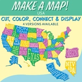
27,949 results
10th grade geography independent works
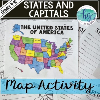
50 States and Capitals Map Activity with printable worksheets & digital map game
Do your students need to know the state capitals and the location of each state on a map? This engaging map set for the 50 states and their capitals will guide your students through labeling a blank map and learning the capitals. Print and digital options plus access to online self-checking map and flashcards let you easily customize the lesson to best fit the needs of your students. Students will label a blank map of the United States with the names of the 50 states and then record the capital
Subjects:
Grades:
4th - 10th
Types:
Also included in: American History Map Activities Bundle for U.S. History Units & Lessons
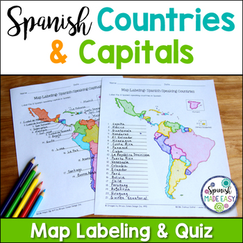
Spanish-Speaking Countries and Capitals Maps and Quiz
This is a map labeling activity and matching quiz over the 21 Spanish-speaking countries and capitals. Students will label and identify the 21 Spanish-speaking countries and capitals in Spanish. This is a great activity when reviewing Spanish-speaking countries and capitals or Spanish geography. Makes a great coloring page. Answer keys are included.
Countries included:
España, México, Costa Rica, El Salvador, Guatemala, Honduras, Nicaragua, Panamá, Cuba, La República Dominicana, Puerto Rico, Ar
Subjects:
Grades:
6th - 12th
Also included in: Spanish Countries and Capitals Geography Bundle
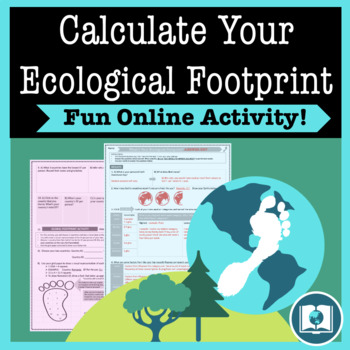
My Ecological Footprint: Fun Online Activity and Worksheet about Climate Change
Take your class to the computer lab for a fun and engaging activity! Students will use an interactive website to find out how their lifestyle determines their ecological footprint and impacts our planet. This activity is the first step in a fun lesson that spans two classes and gets your students learning about the environmental impact of the choices we make every day. This lesson fits perfectly into a unit or course about climate change, environmentalism, geography or world issues. There is lit
Subjects:
Grades:
9th - 12th
Types:
Also included in: Climate Change and Environmental Sustainability Bundle for High School
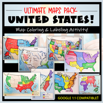
U.S. Maps & Geography- The Ultimate Label & Color Maps Pack! (American History)
This United States Ultimate Maps & Geography Pack includes eight different maps for your American History student explorers- Political Map, Physical Map, Native American Cultural Regions, 13 Colonies, Westward Expansion, 5 Regions, Civil War, and a World Map. These labeling and coloring activities are interactive, engaging, and ready to use- just print and copy! A Teacher’s Guide is provided, as well as options for use to fit your curriculum/lesson. You will also receive a completed, col
Grades:
3rd - 10th
Types:
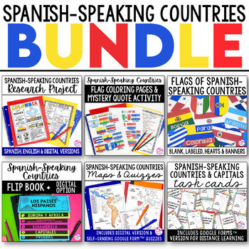
Spanish Speaking Countries BUNDLE Project Maps Flip Book Quizzes + DIGITAL
This money-saving bundle has everything you need to teach the Spanish-speaking countries, their locations, and capitals! Includes maps, quizzes, project, activities, and more! Save over 30% on this bundle of the following items:Spanish-Speaking Countries Flip BookNo cut, no waste, 6 page / 3 pieces of paper printable flip bookDigital flip book in Google Slides for paperless or distance learningWestern Europe map to label SpainWest Africa map to label Equatorial GuineaCentral America / North Am
Subjects:
Grades:
6th - 12th
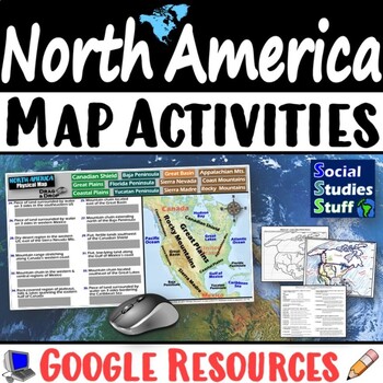
Geography of North America Map Practice Activities | USA Canada Mexico | Google
End the cycle of bored students copying from books to label maps! Your classes think critically with these digital, interactive, geography activities. First, students answer questions about North America by analyzing various physical & political maps of the region. Then, a drag & drop challenge assesses their learning of the locations. This resource also includes a printable worksheet that takes labeling maps to the next level! They create a map of the United States, Canada, and Mexico u
Subjects:
Grades:
5th - 12th
CCSS:
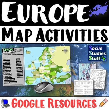
Geography of Europe Map Practice Activities | Print and Digital | Google
End the cycle of bored students copying from books to label maps! Your classes think critically with these digital, interactive, geography activities. First, students answer questions about Europe by analyzing various physical & political maps of the region. Then, a drag & drop challenge assesses their learning of the locations. This resource also includes a printable worksheet that takes labeling maps to the next level! They create a map using only absolute & relative location clues
Subjects:
Grades:
5th - 12th
CCSS:
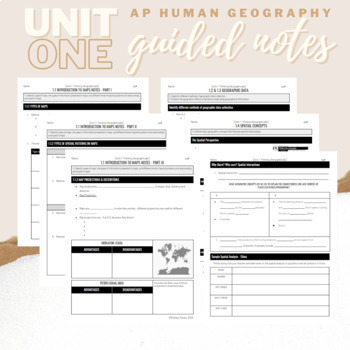
Unit 1: Student Guided Notes - AP Human Geography
Notes pages for each CED topic for Unit One. Use the guided notes to scaffold your Human Geography lectures or use the notes with my accompanying lecture videos on Youtube! You can find one or more lectures that correlate directly with EACH CED Topic for AP Human Geography Unit 1 here. Students can use as a study guide, you can assign for homework, or use with a self-guided lecture! You can assign this to be completed digitally for distance learning or print and have students complete hardcopy.
Subjects:
Grades:
9th - 12th
Types:
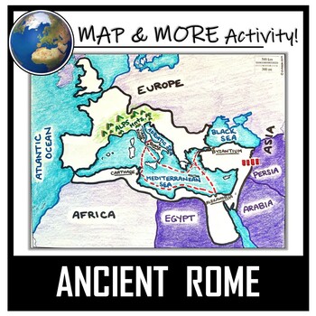
Ancient Rome Map Activity- Roman Empire (Label and Color!)
This Ancient Rome Map Coloring & Labeling Activity is a great resource to enhance your unit! Each student will make their own, personalized map of the Roman Empire, and learn about the geography and landmarks of the region. They will label and color their blank map, and answer follow-up questions related to the geography of Ancient Rome. A fun 'Make a Travel Brochure' project has also been added. It is a great way to connect this map activity to your lesson on Ancient Rome! A link to Goo
Grades:
4th - 11th
Types:
CCSS:
Also included in: Ancient Civilizations / World Maps BUNDLE- Color & Label Activities!
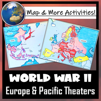
World War II: Map Coloring & Labeling Activities- Europe & Pacific Theaters!
This World War II Map Activity includes two map activities that include blank maps, student direction sheets, follow-up map tasks, and completed sample maps to use as reference. One map activity focuses on Axis Expansion in EUROPE and one on Axis Expansion in ASIA (The Pacific). They can be used with many different age groups, learning styles, and independently- great addition to your WWII unit!**Note: These maps focus on the peak of Axis power/control during WWII. Please see the completed ma
Grades:
5th - 10th
Also included in: US History / American History BIG BUNDLE of Resources! NO-PREP!
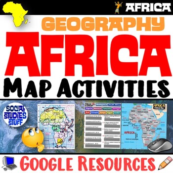
Geography of Africa Map Practice Activities | Print and Digital | Google
End the cycle of bored students copying from books to label maps! Your classes think critically with these digital, interactive, geography activities. First, students answer questions about Africa by analyzing various physical & political maps of the region. Then, a drag & drop challenge assesses their learning of the locations. This resource also includes a printable worksheet that takes labeling maps to the next level! They create a map using only absolute & relative location clues
Subjects:
Grades:
5th - 12th
CCSS:
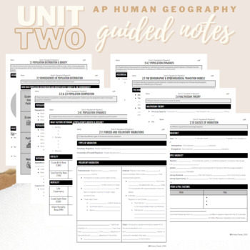
Unit 2: Student Guided Notes - AP Human Geography
Notes pages for each CED topic for Unit Two.Use the guided notes to scaffold your Human Geography lectures or use the notes with my accompanying lecture slideshow! You can find slideshow lectures that correlate directly with EACH CED Topic for AP Human Geography Unit 2 here.Students can use as a study guide, you can assign for homework, or use with a self-guided lecture! You can assign this to be completed digitally for distance learning or print and have students complete hardcopy.So many uses!
Subjects:
Grades:
9th - 12th
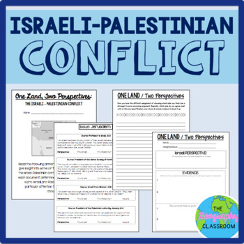
Israel Palestine Conflict History Set
This set includes several resources and activities to use when teaching the complicated Israeli-Palestinian conflict. This set includes:- A short reading on the "two-state solution"- Several primary source documents that help students understand the major issues preventing a two-state solution. As students read the documents, they have to decide whether each document has a pro-Israeli perspective, a pro-Palestinian perspective, or a neutral perspective. - 12 page PowerPoint slides for teachers t
Grades:
6th - 12th
Types:
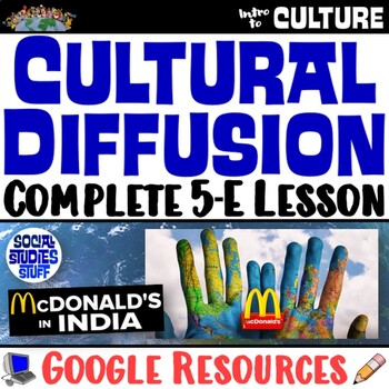
Cultural Diffusion and Globalization 5-E Lesson | McDonalds in India | Google
This student-favorite lesson explores cultural diffusion and its effects on our world. The activities are engaging for students & the guided, 5-E format is easy for you to use! Begin with a fun “Name It” warm-up activity. Explore how culture is shared and adapted globally, then introduce key vocabulary. Fill-in notes accompany the lesson. A photo analysis activity challenges your class to compare McDonalds in India to the United States. Finally, a reading comprehension activity investigates
Grades:
6th - 12th
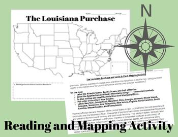
The Louisiana Purchase and Lewis & Clark Mapping Activity
This one day lesson will introduce students to the Louisiana Purchase while incorporating mapping and geography skills.Included in your purchase:1. Summary of Louisiana Purchase and Lewis & Clark expedition.2. Blank Map of the United States3. Directions for coloring and labeling map of the United States using current and historical place names related to the Lousiana Purchase and the Lewis & Clark Expedition.Note Some Additional Supplies Needed:--Colored Pencils--Map resources to help st
Grades:
6th - 10th
Types:
Also included in: Thomas Jefferson, The Louisiana Purchase and Lewis & Clark Lesson Bundle
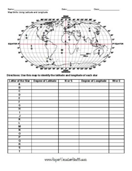
Latitude and Longitude Worksheet & Answer Key
This worksheet is an awesome way to teach Latitude and Longitude. The way that it is structured reinforces that Latitude measures North and South of the Equator, and that Longitude measures East and West of the Prime Meridian. This worksheet features a World Map with an Answer Key.
Subjects:
Grades:
3rd - 12th, Higher Education, Adult Education
Types:
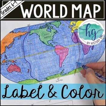
World Map Activity (Print and Digital)
Students will label 17 items on the world map including the continents, oceans, equator, prime meridian, international date line, North Pole and South Pole. Alternatively, students can just color on the coloring page version. What's included with the Printed Versions:*Blank World Map for students to label and color (1 page, uneditable pdf)*World Map Coloring Page (1 page, uneditable pdf)*Map Key (1 page, uneditable pdf)*Animated PowerPoint and Google Slides shows each location and is perfect fo
Subjects:
Grades:
6th - 10th
Types:
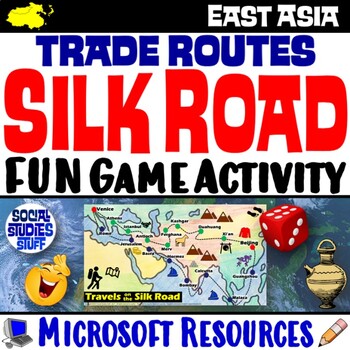
Silk Road Trade Routes FUN Game Activity | Cultural Diffusion and Geography
Play a FUN “Travels on the Silk Road” game that students LOVE! They must identify goods & ideas spread on the trade routes while competing to amass the greatest fortune along the way! Print & interactive, digital versions of the materials are included. Made for traditional in-class learning or digital 1:1 classrooms. Everything you need is included!Includes:Explain Slides: Game DirectionsFill-in Scorecard & ChartGame Task CardsGame BoardAnswer KeyTeacher Reference GuideVocabulary:Sil
Grades:
5th - 12th
CCSS:
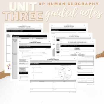
Unit 3: Student Guided Notes - AP Human Geography
Notes pages for each CED topic for Unit Three.Use the guided notes to scaffold your Human Geography lectures or use the notes with my accompanying lecture slideshow! You can find slideshow lectures that correlate directly with EACH CED Topic for AP Human Geography Unit 3 here.Students can use as a study guide, you can assign for homework, or use with a self-guided lecture! You can assign this to be completed digitally for distance learning or print and have students complete hardcopy.So many use
Subjects:
Grades:
9th - 12th
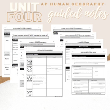
Unit 4: Student Guided Notes - AP Human Geography
Notes pages for each CED topic for Unit Four.Use the guided notes to scaffold your Human Geography lectures or use the notes with my accompanying lecture slideshows! You can find slideshow lectures that correlate directly with EACH CED Topic for AP Human Geography Unit 4 here.Students can use as a study guide, you can assign for homework, or use with a self-guided lecture! You can assign this to be completed digitally for distance learning or print and have students complete hardcopy.So many use
Subjects:
Grades:
9th - 12th
Geography Mapping Skills BUNDLE (World Geography Bundle), Mapping Activities
This Mapping Skills BUNDLE, Google Classroom, Print & Digital Distance Learning covers important foundational mapping skills topics such as Geography Overview, Types of Maps, Map Elements, Key Places on Maps, Latitude, Longitude, Time Zones, Climate Zones, Five Themes of Geography, & Biomes. It also includes historical thinking skills topics such as primary and secondary sources, artifacts, timelines, political cartoons, debates, push/pull factors, charts & graphs, comparing, contras
Grades:
6th - 12th
World Geography Curriculum Editable and Differentiated to Support All Students
This is a complete full year geography curriculum for middle and high school. Be prepared to teach World Geography with these projects, activities, and assessments that have been designed to support ALL students in World Geography classes! These resources are no-prep and great for students of multiple levels. This geography curriculum is editable, digital, and printable. This geography curriculum provides everything you need to make sure all students thrive in your classroom from scaffolded teac
Grades:
7th - 10th
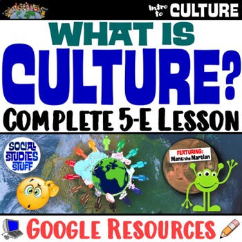
What is Culture? 5-E Intro Lesson | FUN Cultural Traits Activity | Google
This fun, intro lesson challenges your class to explore what culture means and ways cultures vary worldwide. The activities are engaging for students & the guided, 5-E format is easy for you to use! Begin with a fun “What in the World?” warm-up activity featuring Manu Martian, an alien who has crash-landed and is utterly confused. Examine culture and cultural traits through his observations of Earthlings, then introduce key vocabulary and concepts. Fill-in notes accompany the lesson. Next, s
Grades:
5th - 12th
CCSS:
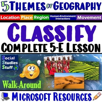
Classify the Five Themes of Geography 5E Lesson | 5 Theme WalkAround | Microsoft
This lesson challenges students to identify, classify & explain the 5 themes of geography using real-world examples. The activities are engaging for students & the guided, 5-E format is easy for you to use! Begin with a fun “Picture It” warm-up activity. Then, introduce each of the five themes & practice applying the concepts. Fill-in notes & practice activities accompany the lesson. A “GSI: Geography Scene Investigation” challenges students to classify 16 colorful images by them
Subjects:
Grades:
4th - 10th
Types:
Showing 1-24 of 27,949 results


