2,871 results
Preschool geography independent works
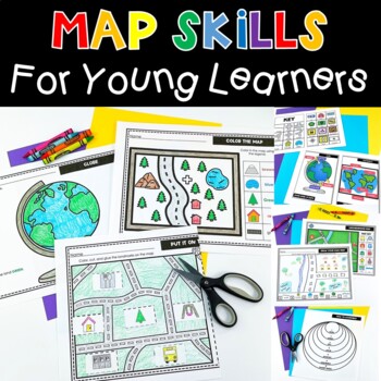
Map Skills Activities and Worksheets Perfect For Me On A Map Kindergarten
This engaging map skills unit has EVERYTHING you need. Early map skills activities don’t have to be boring. These interactive worksheets help your students understand where they are in the world. Students will learn to read a map, create a map, understand geography vocabulary and so much more. Lessons are age appropriate for young learners. This will be a favorite social studies unit! ⭐ WHAT’S INCLUDED: Anchor Charts for Map Grid, Map, Globe, Continents, Compass RoseDraw a MapPut it on the Map
Grades:
PreK - 2nd
Types:
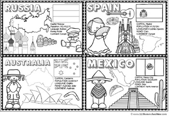
Countries Around the World
If your students are learning about countries around the world this is a handy resource. Kids will learn and commit facts to memory as they color famous landmarks, country shape, flags, traditional clothing, and more for 18 countries including:
- Greece
- Italy
- France
- United Kingdom
- Brazil
- Netherlands
- United States
- Egypt
- China
- Japan
- Peru
- Russia
- Australia
- India
- Kenya
- Spain
- Mexico
Subjects:
Grades:
PreK - 4th
Types:
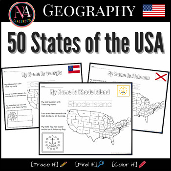
50 States of the USA Activity Bundle (Map and Flags)
Try it on EASEL! This resource includes a ready-to-use interactive activity students can complete on any device. This “50 States of the USA” activity includes fun worksheets for all 50 states, including Washington DC. Each activity aims to build and strengthen the following skillsets for Pre-K thru 1st Grade students.1. Trace it—Penmanship.2. Find it—Critical thinking and problem-solving.3. Color it—Creativity and fine motor skills. The activities also help familiarize young students with the US
Subjects:
Grades:
PreK - 2nd
Types:
Also included in: USA State Symbols and Maps MEGA Bundle | Geography
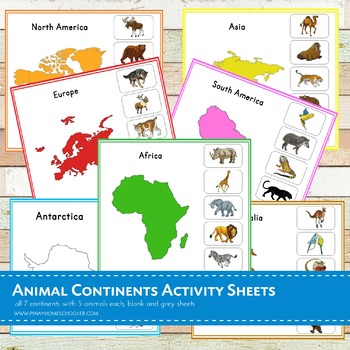
Montessori Animal Continents Activity Sheets
A total of 21 activity sheets!! This is a Nienhuis inspired Montessori geography material in learning animals thriving in each 7 continents (Asia, Africa, Australia, Antarctica, Europe, North America and South America). Note that this file is in a ZIP FORMAT. Be sure you have the tools to open this learning pack.There are 5 animals featured in each continent. ANIMALS ARE IN NOT IN REAL PHOTOS, please check the BLOGPOST and THUMBNAILS for the preview.Each continent has the following sheets: -
Subjects:
Grades:
PreK - 6th
Types:
Habitats and Homes with Sorting, Student-Books, and Scrambles
250+ pages of differentiated activities for learning about 11 different habitats and homes! Ocean, arctic, desert, plain (farm), rainforest, city, forest (deciduous and coniferous), mountain, beach, pond, grasslands (savanna). All sorting cards and pocket chart pictures come in COLOR option and BLACK/WHITE.
--"On the Plains" options come in two varieties for each page, allowing you to choose "On the plains" or "On a farm" depending on your class.
--"In the grasslands" options come in two varie
Grades:
PreK - 2nd
Types:
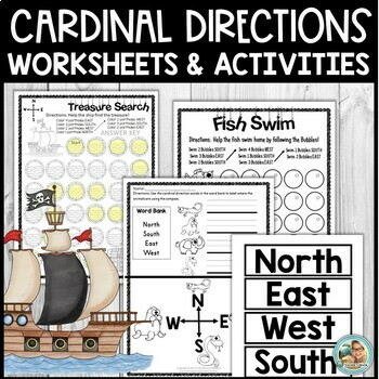
Cardinal Directions Activities and Worksheets for Kindergarten and 1st
Are you looking for age-appropriate and engaging activities to help your little ones with learning about cardinal directions and map skills? I have some great printables for YOU! Check them out!In this download:Pg. 1 CoverPg. 2 Directions Pg. 3 Fish Swim (Follow Cardinal Directions to help the fish.)Pg. 4 Answer KEY Fish Swim (Follow Cardinal Directions to help the fish)Pg. 5 Seal Bubbles (Follow Cardinal Directions)Pg. 6 Answer KEYPg. 7 Treasure Search (Take the ship to a treasure.)Pg. 8 Treas
Subjects:
Grades:
PreK - 1st
Types:
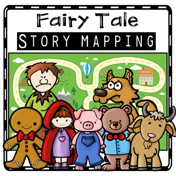
Fairy Tale Story Maps, Retelling Activities, Fairy Tale Sequencing, Map Skills
Kids will love using these fairy tale story map retell printables to create story maps to practice retelling stories, sequencing, and map skills to build oral language, vocabulary, and comprehension skills. This resource was also designed to help you integrate social studies and teaches kindergarten and first grade children about map skills such as using a compass rose and following cardinal directions.Story Retell Maps Include: Story Mapping with Little Red Riding HoodStory Mapping with The Gi
Subjects:
Grades:
PreK - 2nd
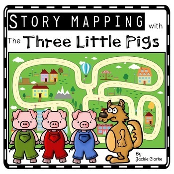
Three Little Pigs Retelling Activities, Story Retell Maps, Fairy Tale Sequencing
Kids will love using The Three Little Pigs retell printables to create story maps to practice retelling stories, fairy tale sequencing, and map skills that build oral language, vocabulary, and language comprehension skills. This resource was also designed to help you integrate social studies and teaches kindergarten and first grade children about map skills such as using a compass rose and following cardinal directions.✅How Can I Use This Three Little Pigs Story Map?As a retelling and sequencin
Subjects:
Grades:
PreK - 2nd
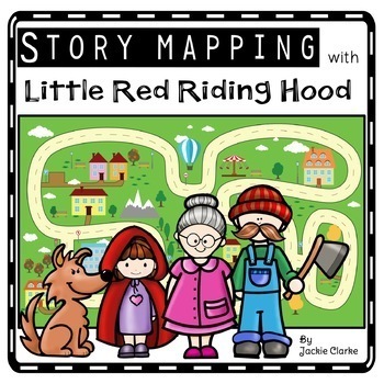
Little Red Riding Hood Retelling Activities, Story Maps, Fairy Tale Sequencing
Kids will love using the Little Red Riding Hood retell printables to create story maps to practice retelling stories, fairy tale sequencing, and map skills that build oral language, vocabulary, and language comprehension skills. This resource was also designed to help you integrate social studies and teaches kindergarten and first grade children about map skills such as using a compass rose and following cardinal directions.✅How Can I Use This Little Red Riding Hood Story Map?As a retelling and
Subjects:
Grades:
PreK - 2nd
Map Skills & Landforms Unit
Do your students need practice with map skills? Do they need engaging activities to help them learn key vocabulary and directions? If so, this unit is perfect for them!What's Included?Map Skills Practice:Zoo - Using a Map Key to Place Objects on a MapIn the Neighborhood - Answering Questions about the MapPlacing Objects using North, South, East, WestTreasure! - Finding objects that are North, South, East, WestClassroom Map - Answering Questions about a Classroom MapOur Classroom - Make your Own
Grades:
PreK - 2nd
Types:
Los Mapas "Yo en el Mapa " Habilidades usando mapas Where We Life
Los Mapas " Yo en el Mapa " Habilidades usando mapas
(Map Skills - Me on the Map / Where We Life - Donde vivimos)
Mini Unit
Por favor asegurece de leer la descripcion y ver el documento previo para asegurar que este producto cubre sus necesidades.
Con este producto los estudiantes aprendedran sobre la historia de los, los elementos basicos y podran hacer mapas.
Contenido de este documento:
Lecturita de la historia de los mapas.
Librito sobre los mapas.
KWL
9 Gráficos de datos
Cuestionario
Subjects:
Grades:
PreK - 2nd
My Vacation Journal: student homework while away
When students go on vacations during the school year, parents often ask for their homework in advance. But let's be honest: who plans their lessons that far ahead of time?
Instead of sending a bunch of worksheets with my students, I send this vacation journal. It is an authentic way for students to work on geography, math, writing, and art. At the end of the trip, it is a great keepsake for families.
This travel journal saves me so much time, plus - kids and families love it!
It includ
Subjects:
Grades:
PreK - 5th
Types:
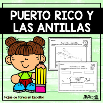
Puerto Rico y las Antillas - Spanish Worksheets
PUERTO RICO Y LAS ANTILLAS | Spanish WorksheetsEste recurso ha sido creado para trabajar el tema de Puerto Rico y las Antillas. Se incluyen hijas de tarea sobre:1. Hoja con palabras de vocabulario su definición. 2. Tarea para localizar a Puerto Rico en el mapa del mundo.3. Torbellino de ideas sobre Puerto Rico.4. Identificar en el mapa las Antillas Mayores.5. Escribir las Antillas Mayores.6. Identificar en el mapa de PR los puntos cardinales.7. Parea palabra con definición. 8. Completa las oraci
Subjects:
Grades:
PreK - 3rd
Types:
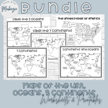
Printable Maps and Worksheets | Continents Ocean & The United States Bundle
This bundle includes 5 printable resources that are perfect for any minimalist teacher or classroom! All of these resources can be printed, laminated, and copied for your students. The featured fonts are from HelloFonts at www.jenjonesfont.com- Black and White Map of the United States of America | Coloring Page- Black and White World Map Continents and Oceans | Coloring Sheet- Black and White World Map | Coloring Sheet- Printable 7 Continents Worksheet | Cut and Paste- Printable Oceans Worksheet
Subjects:
Grades:
PreK - 3rd
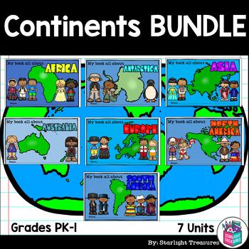
Continents BUNDLE Complete Unit for Early Readers - Asia, Europe, Africa & More!
Take your students on a trip to around the world with this complete unit bundle! It includes information on several major countries in each continent! All seven continents are highlighted and introduced!The units included are:AfricaAsiaAntarcticaAustraliaEuropeNorth AmericaSouth AmericaWhat is included in this unit?- Photo Collage Posters for each country and the continent- Continent Mini Books (half page mini book, one page will print two books)- Country Activities such as fact sheet, research
Grades:
PreK - 2nd
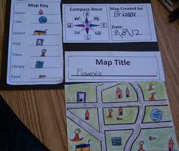
Map Skills for Kids
This six-page document contains blank copies of a town map, a compass rose, map title, and map key. Students will demonstrate their understanding of cardinal and intermediate directions when filling out the compass rose. Students can show their creativity when coming up with a map title and map key symbols. The map key includes symbol words and then the students can draw their own symbols. Then students place their symbols on the map. An example of a students finished map can be seen in the
Subjects:
Grades:
PreK - 6th
Types:
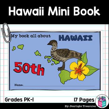
Hawaii Mini Book for Early Readers - A State Study
This Hawaii Mini Book is perfect for your students to learn about Hawaii! This book can be used for a very basic state study in lower elementary grades! This is perfect for Pre-k, Kindergarten, and 1st Grade. Each page has a basic fact about Hawaii and a scene or illustration to get students to connect to the words. The scenes can be colored in as a fun activity for the students! This printable interactive activity includes:A black/white half page mini book for students to color and readA color
Subjects:
Grades:
PreK - 2nd
Groovy School Clipart bundle, boho school clip art, bulletin board, commercial
A cute, hand-drawn clipart set with a groovy school theme.Consists of over 50 individual, high definition png files with a transparent background.Also includes black-and-white versions of all images, suitable for coloring etc.For personal and commercial use.
Subjects:
Grades:
PreK - 12th
Texas Symbols Packet for kindergarten and 1st grade Social Studies
This is a 8 page Texas Symbol Packet. There is a half page coloring black line with half page summary about each symbol. There are several words missing in each paragraph for the children to write in on their own. It includes:
1 Texas flag
2. Bluebonnet
3. Mockingbird
4. Armadillo
5. Geography, rivers and borders of TX
6. Alamo
7. Stephen F Austin
8. Jose' Antonio Navarro
Teacher answers are also included.
Subjects:
Grades:
PreK - 1st
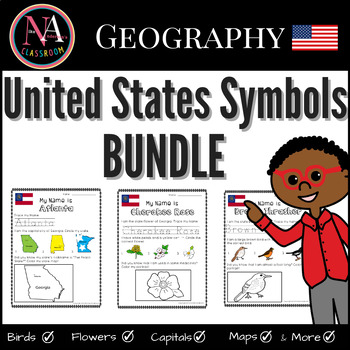
50 States of the USA and Symbols (Capitals, Birds, Flowers) BUNDLE
BUNDLEThis “50 States of the USA (and their symbols)” activity includes 151 fun worksheets for all 50 states. Each activity aims to build and strengthen the following skillsets for Pre-K thru 1st Grade students:1. Trace it—Penmanship.2. Find it—Critical thinking and problem solving.3. Color it—Creativity and fine motor skills. What’s included:State Birds of the USA (for all 50 states) State Flowers of the USA (for all 50 states)States Capitals of the USA (for all 50 states) (includes DC)(TOTAL 1
Subjects:
Grades:
PreK - 1st
Types:
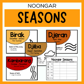
Noongar Australian Aboriginal Seasons Calendar & Worksheet - Nyoongar
✏️ Celebrate the rich cultural heritage of the Noongar Indigenous Aboriginal Australians with our Seasons Calendar & Worksheet! This comprehensive resource includes 7 display posters (with an alternate spelling of Nyoongar) and a worksheet to help students learn about the traditional Noongar seasons. With a link to the Indigenous Weather Map, this resource is an excellent tool to support teaching and learning about Indigenous culture and weather patterns. What's Included?7 Display Posters (+
Subjects:
Grades:
PreK - 12th
Also included in: Noongar Vocabulary Bundle | Aboriginal Language Resource
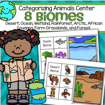
Biomes 8 Animal Habitats Sorting Center for Preschool and Kindergarten
This is a set of 8 biomes or habitats mats, each with 5 related animals to match to the mats.Biomes included are: desert, ocean, rainforest, African savanna, forest, arctic, grassland (farm), and wetland. Print on cardstock for longest use.Click on the PREVIEW link to see all pages.
Subjects:
Grades:
PreK - 1st
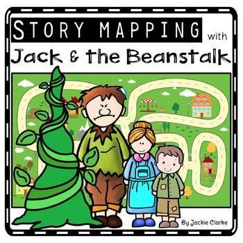
Jack & the Beanstalk Retelling Activity, Story Retell Map, Fairy Tale Sequencing
Kids will love using the Jack and the Beanstalk retell printables to create story maps to practice retelling stories, fairy tale sequencing, and map skills that build oral language, vocabulary, and language comprehension skills. This resource was also designed to help you integrate social studies and teaches kindergarten and first grade children about map skills such as using a compass rose and following cardinal directions.✅How Can I Use This Jack and the Beanstalk Story Map?As a retelling and
Subjects:
Grades:
PreK - 2nd
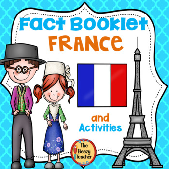
France Fact Booklet and Activities | Nonfiction | Comprehension | Craft
France - the smell of warm croissants and Eiffel Tower! Your kids will have a fantastic time learning about French traditions. Engaging activities with a French flair are included in this fact booklet!This fact booklet on France is a great resource to use for a research project on countries around the world/Europe with your pre-k/kindergarten class and struggling first graders. Included in this product is a black and white informational book about France that can be used for independent reading
Subjects:
Grades:
PreK - 1st
Also included in: Countries Fact Booklet Bundle | Crafts | Comprehension | Writing
Showing 1-24 of 2,871 results


