36,000+ results
7th grade geography independent works
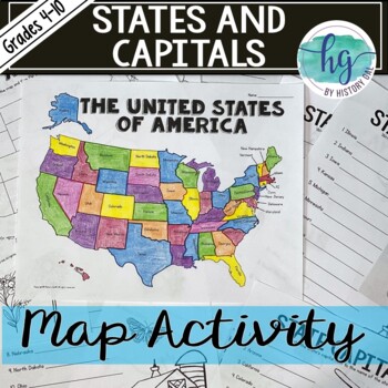
50 States and Capitals Map Activity with printable worksheets & digital map game
Do your students need to know the state capitals and the location of each state on a map? This engaging map set for the 50 states and their capitals will guide your students through labeling a blank map and learning the capitals. Print and digital options plus access to online self-checking map and flashcards let you easily customize the lesson to best fit the needs of your students. Students will label a blank map of the United States with the names of the 50 states and then record the capital
Subjects:
Grades:
4th - 10th
Types:
Also included in: American History Map Activities Bundle for U.S. History Units & Lessons
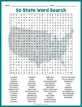
USA GEOGRAPHY Worksheet Activity - All 50 (Fifty) US States Word Search Puzzle
Review United States geography and have your students search for all 50 members of the Union with this challenging worksheet activity. Word search puzzles make great no prep activities for early finishers, bell ringers, morning work, handouts, homework, lesson plan supplements, sponge activities, introductions to new topics, and sub files.We consider this to be a challenging puzzle and it will require quite a bit of time to complete. Students will memorize the names of all fifty states withou
Subjects:
Grades:
4th - 7th
Types:
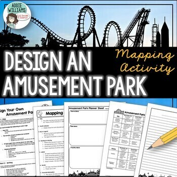
Map Skills Mapping - Design Your Own Amusement Park
Review the basics of mapping with this fun and engaging activity! Using map skills learned in class, students must design a map of their own amusement park and include mapping elements such as scale, a legend, symbols, and more! They must also write about and explain their "best" or most amazing ride. This activity has always been one of my students' favorite projects! It's a fun and unique way to wrap up a mapping unit or a fun project for social studies!I encourage the students to pick a them
Subjects:
Grades:
6th - 9th
Types:
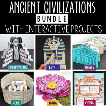
Ancient Civilizations Lessons, Activities, and Projects - Ancient History
This Ancient Civilizations Bundle includes 6 resources for teaching Mesopotamia, Ancient Egypt, Ancient China, Ancient India, Ancient Greece and Ancient Rome. Each resource includes learning activities to help students learn about each civilization’s geography, religion, achievements, politics, economy, and society. Designed to be engaging and interactive, these resources will make learning fun and exciting! Here’s a quick overview of each of the Ancient Civilization Resources: Ancient Mesopotam
Grades:
4th - 7th
Types:
CCSS:
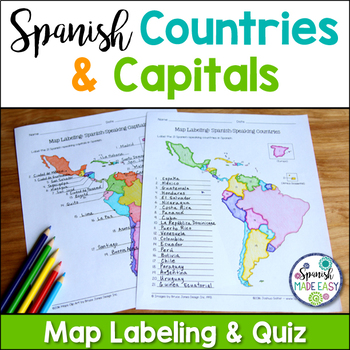
Spanish-Speaking Countries and Capitals Maps and Quiz
This is a map labeling activity and matching quiz over the 21 Spanish-speaking countries and capitals. Students will label and identify the 21 Spanish-speaking countries and capitals in Spanish. This is a great activity when reviewing Spanish-speaking countries and capitals or Spanish geography. Makes a great coloring page. Answer keys are included.
Countries included:
España, México, Costa Rica, El Salvador, Guatemala, Honduras, Nicaragua, Panamá, Cuba, La República Dominicana, Puerto Rico, Ar
Subjects:
Grades:
6th - 12th
Also included in: Spanish Countries and Capitals Geography Bundle
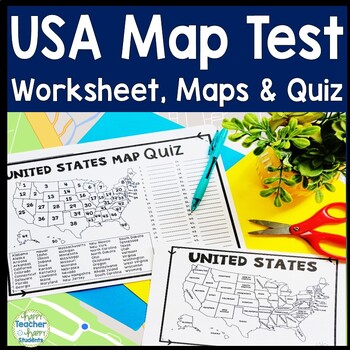
United States Map Quiz & Worksheet, USA Map Test w/ Practice Sheet, US Map Quiz
United States Map Test: Easy-to-read US Map Quiz and Practice Sheet will help students learn to correctly identify and locate all 50 states. This product also includes a labeled USA Map in full & half-page design and blank USA map for practice. Learning how to correctly identify all 50 states on a map of the United States is a critical skill for students of all ages.US Map Quiz (US Map Test) is ready to print-and-go to test knowledge of the USA Map and 50 states. This map of the United State
Grades:
2nd - 8th
Types:
5 Themes of Geography Stations Activity | Five Themes of Geography Lesson
In this Five Themes of Geography stations and student activity, students analyze the five themes of geography (location, place, human-environment interaction, movement, and region) to understand how geographers study the world!This best-selling geography resource is included in the massive All Things Geography Bundle, as well as the American or the World History PLUS Curriculum!This lesson begins with students doing an introductory reading and activity on the five themes of geography. Then, stu
Grades:
5th - 9th
Types:
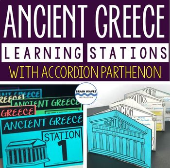
Ancient Greece Stations, Parthenon Accordion Book, Ancient Greece Activities
This resource contains six ancient Greece learning stations that students can rotate through in small groups. Each learning station (or center) is designed to give students engaging and exciting learning experiences to practice, enrich, review, and enhance their learning. Students will visit each station with a small group and complete ancient Greece activities. Here’s the fun part! During the learning stations, students will create an accordion book to showcase their learning. They’ll “build” f
Grades:
5th - 8th
Types:
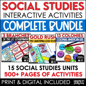
4th 5th & 6th Grade Social Studies Curriculum Activities Project Unit Bundle
Social Studies Class will be your students' favorite time of the day with this popular, engaging bundle of activities, including foldables, timelines, mini books, bulletin boards, and more! The hands-on units in this bundle will help your students learn and understand the events and concepts of American History, Government, and Geography.Click the PREVIEW button above to see everything included!By purchasing this complete bundle, you are saving 20% off the price of the individual units.ALL packe
Grades:
4th - 7th
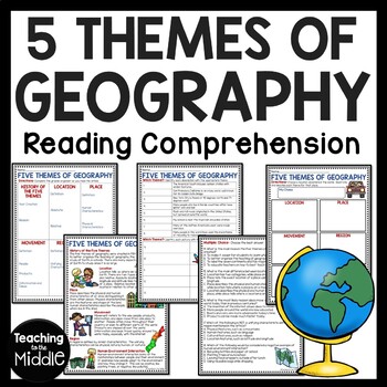
Five Themes of Geography Reading Comprehension Worksheet and Activities
Several Social Studies' Pacing Guides call for review or teaching of the Five Themes of Geography. I found that even though my students had seen this information in the past, they were still confused about some of the differences. This product gives students an informational passage (800-900 Lexile Level) on the history of the themes and a brief description of each. A graphic organizer is provided for students to complete while reading the passage. This can be done as whole group instruction,
Subjects:
Grades:
4th - 7th
Types:
Also included in: Social Studies MEGA Reading Comprehension Bundle For Buyer
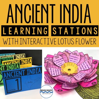
Ancient India Unit with Learning Stations and Interactive Project
This resource contains six ancient India learning stations that students can rotate through in small groups. Each learning station (or ancient history learning center) is designed to give students engaging and exciting learning experiences to practice, enrich, review, and enhance their learning. Students will visit each station with a small group and complete tasks and assignments. Check this out! Students will create a 3-D interactive lotus flower filled with their learning. They’ll add inform
Grades:
4th - 7th
Types:
Histagories Social Studies End of Year Activity for US and World History
In this history review and conversation game, students are engaged with 8 short lists of information where they work with partners (or individually) to try to come up with answers based on the letter for the round. Included is a letter-choosing paper (students flip a coin and see where it lands!) plus 8 different lists geared toward History, Geography, Geology, and Social Studies themes! A condensed worksheet is also included to save space.Enjoy this fun way to spend the first few (or last few
Subjects:
Grades:
5th - 8th
Types:
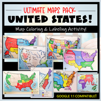
U.S. Maps & Geography- The Ultimate Label & Color Maps Pack! (American History)
This United States Ultimate Maps & Geography Pack includes eight different maps for your American History student explorers- Political Map, Physical Map, Native American Cultural Regions, 13 Colonies, Westward Expansion, 5 Regions, Civil War, and a World Map. These labeling and coloring activities are interactive, engaging, and ready to use- just print and copy! A Teacher’s Guide is provided, as well as options for use to fit your curriculum/lesson. You will also receive a completed, col
Grades:
3rd - 10th
Types:
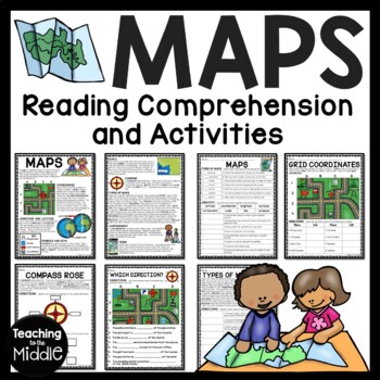
Map Skills Reading Comprehension Worksheets and Activities
Need to briefly explain or review map skills with your students? This product provides several activities to accomplish this. The PDF file includes: map overview reading passage with 15 comprehension questions (types of maps identification and term identification), grid coordinates practice, compass rose review, Which Direction?, and Types of Maps (8 questions). I use this at the beginning of the school year to review map skills with my students. I've provided a color and black and white vers
Grades:
4th - 7th
Types:
Also included in: Social Studies MEGA Reading Comprehension Bundle For Buyer
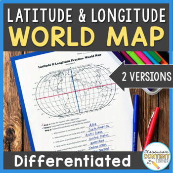
Latitude and Longitude Worksheet | Differentiated Activity| World Map
Students will practice following latitude and longitude coordinates to identify continents and oceans on a world map. This activity comes with 2 differentiated versions to meet your students' needs! Worksheet A has no labels, so students can practice identifying continents, oceans, and 2 (easily identifiable) countries as they follow the Latitude and Longitude coordinates! Worksheet B is similar, and perfect for ELL's or struggling learners! The map on this version is labeled, so students can re
Subjects:
Grades:
4th - 8th
Types:
Also included in: Latitude and Longitude ACTIVITY BUNDLE!
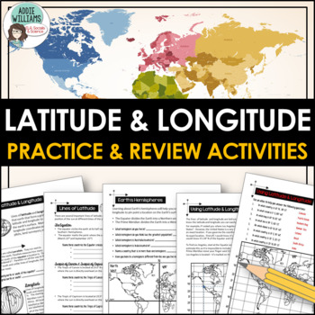
Latitude and Longitude Worksheet Activities for Practice and Review
Do your students struggle with latitude and longitude? Use this resource to help your students learn the fundamentals of latitude and longitude and apply their knowledge to simple maps.This resource includes reference/note sheets on latitude and longitude, the important lines of latitude (Equator, Tropics, Arctic / Antarctic Circle), and longitude (Prime Meridian, Date Line), and how to find a location on Earth using coordinates. This package also includes five worksheets for students to apply
Subjects:
Grades:
6th - 8th
Types:
Also included in: Latitude and Longitude Bundle - Activities, Task Cards, & Posters
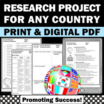
Country Research Projects Study Report Countries Around the World Research
Country Research Projects: This newly revised (July 2023) country study worksheet packet will help your 4th grade, 5th grade, and 6th grade social studies students conduct a country study research project for countries around the world. It not only includes country research graphic organizers and templates and for gathering information and conducting country research, but also guidance and skills for country report writing and giving a presentation. Grading rubrics, answer keys, differentiated a
Subjects:
Grades:
4th - 7th
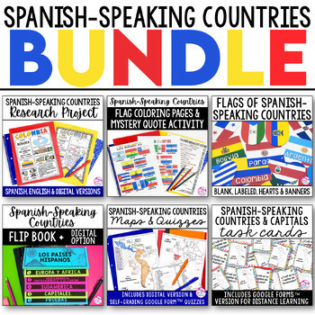
Spanish Speaking Countries BUNDLE Project Maps Flip Book Quizzes + DIGITAL
This money-saving bundle has everything you need to teach the Spanish-speaking countries, their locations, and capitals! Includes maps, quizzes, project, activities, and more! Save over 30% on this bundle of the following items:Spanish-Speaking Countries Flip BookNo cut, no waste, 6 page / 3 pieces of paper printable flip bookDigital flip book in Google Slides for paperless or distance learningWestern Europe map to label SpainWest Africa map to label Equatorial GuineaCentral America / North Am
Subjects:
Grades:
6th - 12th
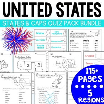
U.S. States and Capitals BIG Bundle-Quiz Packs AND Flash Cards
U.S. States and Capitals Quiz Pack- MEGA BUNDLE!Use this States and Capitals Mega Bundle Quiz Pack to test your students knowledge of the U.S. States and Capitals region by region! What's included in this BIG bundle of 11 resources?Northeast Region:Quiz Pack- 14 pages (7 testing options)Flash Card Printables - 18 Pages (4 options)Southeast Region:Quiz Pack- 14 pages (7 testing options)Flash Card Printables -18 pages (4 options) Midwest Region:Quiz Pack- 14 pages (7 testing options)Flash Card Pri
Subjects:
Grades:
3rd - 7th
Types:
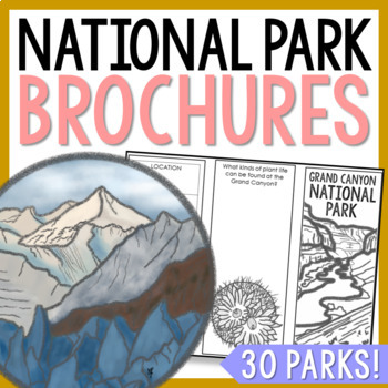
NATIONAL PARK Research Projects | USA American Landmarks Report Activities
This bundle of 30 national park brochure projects is a fantastic way for your students to explore a huge variety of landscapes across North America. Each no-prep activity can be completed in a few different ways. You can provide your students with the information to fill out their brochures, or have them find the information through Internet research. If your students are inexperienced with Internet research, guide them through the process by projecting a search that you lead. NPS.gov and Britta
Grades:
3rd - 8th
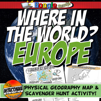
Where in the World Scavenger Hunt & Map Activity Set Physical Geography Europe
This geography activity is completely student-driven, fun, and interactive. It can be done with any textbook map or atlas with European physical geography. First, students create a physical map of Europe, labeling key features. Then, students play the Where in the World Scavenger Hunt printable clue game. Students guess the features by reading four description clues for differing geographical features of Europe. It comes with a key!What's Included:⭐ Physical map activity⭐ Scavenger Hunt Activity
Grades:
4th - 8th
Types:
13 Colonies Regions New England, Middle, & Southern Colony Regions
In this 13 Colonies and Colony Regions activity, students compare the New England, Middle and Southern Colony Regions. Students read the included student-friendly article (either in a group, individually, or as a class), then fill in the details on the included graphic organizer. This serves as a great intro to the 13 Colonies, or as a great way to learn the varying characteristics of the New England, Middle, or Southern colony regions.This resource includes a paper in-class version and a 1:1
Grades:
5th - 8th
Types:
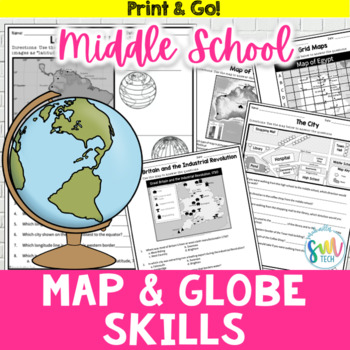
Map and Globe Skills Worksheets (6th, 7th, 8th Grades)
Your students will love reviewing map and globe skills with this engaging, no prep worksheet packet! It's great to use during the back-to-school weeks. Plus, it’s so easy to use that you can even leave it for sub plans or homework packets!Resource Includes: 12 worksheets & answer keysCardinal and intermediate directionslatitude and longitudegrid maps: reading & creatingphysical maps: reading & drawing conclusionsgraphic scales: to determine distancesmap keys: to acquire informationAn
Subjects:
Grades:
5th - 8th
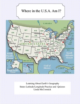
Latitude and Longitude Worksheets and Quizzes - U.S.A. Geography
This collection of worksheets and a printable map provide excellent lessons for learning latitude and longitude. • This package contains 9 pages. • A printable map with the necessary information to answer the questions regarding latitude and longitude.• Includes practice and two quizzes in the “Where Am I” format•Answer KeyThis lesson is google classroom ready.Please e-mail me with any questions about this resource or suggestions for future resources at: ljmccormick33@yahoo.com. If you are diss
Subjects:
Grades:
5th - 9th
Types:
Also included in: U.S.A. Geography- Bundle
Showing 1-24 of 36,000+ results


