14,406 results
2nd grade geography independent works
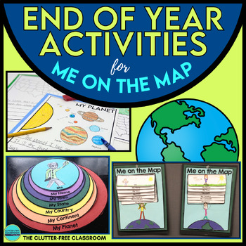
End of the Year Craft Activity Last Week of School Me on the Map Skills Review
Looking for an End of Year Craft Activity to Review Map Skills? Want a Last Week of School Writing Project? This Me on the Map flip book and summer writing pages are perfect for 1st, 2nd, 3rd or 4th grade students!This Maps and Globes activities pack has 8600+ POSITIVE REVIEWS and is the original & most highly-rated Me on the Map Project Activity Bundle on TpT. Teach map skills with crafts, printable worksheets, flip books & a nesting circle craftivity for the book by Joan Sweeney.It wil
Subjects:
Grades:
1st - 5th
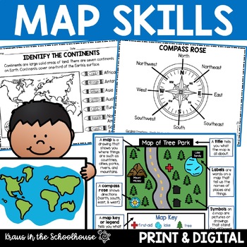
Map Skills Activities and Worksheets Maps Globes Landforms Continents & Oceans
Make learning fun for your students when teaching map skills. Map skills topics include maps, globes, continents, oceans, landforms, water forms, suburban, urban, rural, directions, and more. This resource is perfect for second, third, and fourth grade students. Digital activity included using Easel by TpT.These activities can be used during whole group instruction, independent work, and center time. Easy-to-use activity sheets with clear directions and answer keys are provided.HERE'S WHAT YOU'L
Grades:
2nd - 4th
Types:
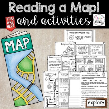
Map Skills- Reading a Map and Activities
✅⭐️Are you studying maps in your primary classroom? If so, then you will love this all inclusive NO PREP set! Not only does it go over cardinal directions and how to read a map, it also reviews parts of a map such as the map key, title, and compass rose. It is a perfect lesson to include in your social studies geography unit!⭐Please know that this resource is a PDF. It is great for distance learning if you are sending home packets or are able to transfer it to Google Slides™ to use in Google Cla
Subjects:
Grades:
K - 5th
Types:
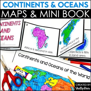
Label Continents and Oceans Activities | Blank World Map Printable 7 Continents
Students LOVE learning about the Continents and Oceans of the World with these fun hands-on activities, including a 7 continents mini-book, blank world map, coloring pages, and even a label continents and oceans quiz. This NO PREP packet is easy for teachers and engaging and hands-on for students!Please click on the preview button above to take a look at everything included.This resource includes:7 Continents Mini-BookColoring Pages/Posters of Each ContinentBlank World MapLabeled World MapPost-U
Subjects:
Grades:
2nd - 5th
Types:
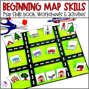
Map Skills Worksheets Book Lapbook - Reading a Map, Cardinal Directions, Compass
Are you looking for an engaging first grade map skills resource to add to your social studies curriculum? This engaging resource is what you need to teach mapping skills like cardinal directions, compass rose, and map skills. Students will love the map skills books and the hands-on build a town map. Finally, students can demonstrate their learning with the final map skills lapbook. Use this resource for:first gradesecond gradewhole class instructionsmall group instructionpartner workStudents wi
Subjects:
Grades:
K - 2nd
Types:
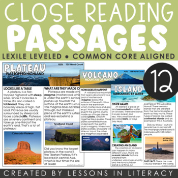
Landforms Close Reading
***For a Goggle Classroom version of this product, click here!Close Reading: Landforms- This 66 page product contains 12 landform-themed nonfiction close reading passages with evidence-based questioning sheets to go with each. Each landform has a cover page with a definition, close reading article in color + black/white, and comprehension sheet. Great to use as a whole group lesson or in small group reading. The articles are about the following topics:-plateau-plains-mountain-coast-canyon-valley
Subjects:
Grades:
1st - 4th
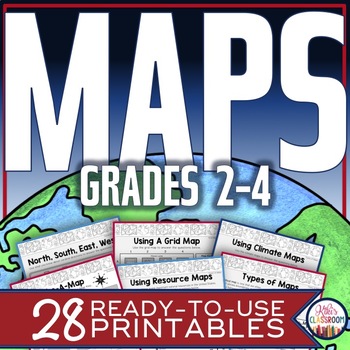
Map Skills Worksheets - Types of Maps, Cardinal Directions, Scale, Reading Maps
This pack of activities for Grades 2 - 4 includes 28 pages of thoughtfully designed printables to engage your students while they practice these basic concepts. You’ll find these ready-to-use pages to be easy to implement and thorough in scope. This resource includes opportunities for your students to acquire information from a variety of maps, to use map elements including the compass rose and scale, and to create their own maps within a defined (and easy to use) set of directions. There’s j
Grades:
2nd - 4th
Types:
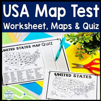
United States Map Quiz & Worksheet, USA Map Test w/ Practice Sheet, US Map Quiz
United States Map Test: Easy-to-read US Map Quiz and Practice Sheet will help students learn to correctly identify and locate all 50 states. This product also includes a labeled USA Map in full & half-page design and blank USA map for practice. Learning how to correctly identify all 50 states on a map of the United States is a critical skill for students of all ages.US Map Quiz (US Map Test) is ready to print-and-go to test knowledge of the USA Map and 50 states. This map of the United State
Grades:
2nd - 8th
Types:
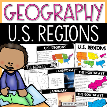
US Geography Worksheets | 5 Regions of the United States Lessons and Activities
Your students will love learning about the 5 regions of the United States with this jammed pack US Geography resource! This resource is filled with everything you need to teach your upper elementary students about the regions of the United States in a fun and meaningful way. Your students will learn that each of the US regions have similar characteristics like climate, landforms, culture, history, and landmarks. This unit includes easy to follow lesson plans, hands-on foldable to use on their o
Subjects:
Grades:
2nd - 4th
Types:
MAPS - How to Use a Map - Mapping Unit for Kindergarten and First Grade
Teach your students all about maps with this adorable, hands-on unit. We learn about using directional words with a compass rose, how to use map grids (find square A2, C3, etc.) how to make your own map, where we live on the map, how to find specific places on town maps and more! THESE MAP ACTIVITIES ARE INCLUDED IN MY ALL ABOUT EARTH UNITPlease do not purchase this listing if you already own Unit 8 All About Earth.--------------------------------------------------------------------------------
Grades:
K - 2nd
Types:
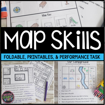
Map Skills Worksheets & Performance Task | Print & Easel
Practice using a map key, a compass rose, and a scale to read, interpret, and create basic maps! These printables are perfect for teaching geography or quick map skills assessments in first grade, second grade, or third grade! The following print-and-go map skills activities are included:Map Vocabulary Foldable: Students cut along the dotted lines to create three flaps and then fold along the solid line. Under each flap, students define the vocabulary word shown on the top of the flap. Words inc
Grades:
1st - 3rd
Types:
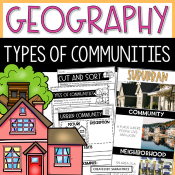
2nd & 3rd Grade Geography - Types of Communities Social Studies Activities
Teaching 2nd and 3rd grade students about the different types of communities is fun and exciting with these activities and worksheets! This social studies resource contains easy-to-follow lessons to help you teach your class about the different characteristics of communities in the U.S. Cover a variety of geography topics as your students will learn about the population, transportation, and homes in urban, suburban, and rural communities. This product includes lesson plans, foldables, activities
Subjects:
Grades:
2nd - 3rd
Types:
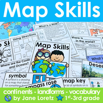
Map Skills 2nd grade 3rd grade worksheets, continents, vocabulary, landforms
This unit has everything you need for a great unit to teach map skills, vocabulary, continents, and landforms. This unit was written and used with first, second and third graders.What is included….MAP SKILLS-A 12 page no prep packet to help your students understand basic map skills. A cover is included so all you need to do is copy and staple. This pack would be great for distance learning, easy enough so students can do this independently. This pack includes these concepts…-What is a globe?-Wh
Subjects:
Grades:
1st - 3rd
Types:
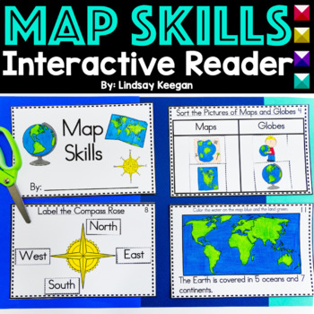
Map Skills Interactive Reader for Maps, Globes, Directions and more
These map skills worksheets are so much fun for young learners. Use this interactive mini-reader to help reinforce your student's understanding of maps, globes, cardinal directions, land, water and more!This map skills book can be used across several lessons and is perfect for whole group, small group or center activities.Each page has information about map skills and tasks for students to complete to help them show their understanding of the topic.Map Skills included in this interactive reader
Grades:
K - 2nd
Types:
Also included in: Interactive Books Bundle Readers for Math, Science and Social Studies
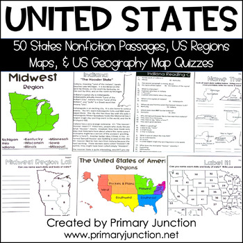
United States 50 States Reading Comprehension Passages Region Geography Map
Are you teaching a unit on United States geography or the 50 states and capitals, or would you like to incorporate some non-fiction informational texts into your instruction? These United States 50 States Reading Comprehension Passages and Region and Geography Maps will help you engage and teach your students interesting and important facts about each of the 50 states and their capitals, as well as assess students’ knowledge of each state’s location on a map. Each of the 50 state reading passag
Subjects:
Grades:
2nd - 5th
Types:
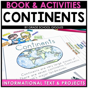
7 Continents And 5 Oceans Activity Printables & Project - Cut, Paste, Label, Map
Are you looking for an engaging way to teach your students about the 7 continents and 5 oceans? These printables and fun continent activities will keep your kids engaged while they label, color, cut, and paste as they learn about the world. This mini-book is full of informational text about each continent organized into bite-sized chunks. You'll also find interactive pages to help your students comprehend and retain the information they read.In addition to the interactive mini-book, you'll also
Subjects:
Grades:
2nd - 3rd
Types:
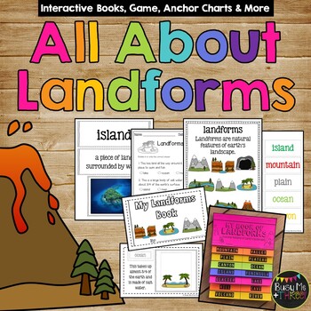
Landforms and Bodies of Water Interactive Books Posters Game and Worksheets
This ALL you will need to teach your students about landforms! This set has posters, a game, interactive booklets & flip books, a test & more!! Real photos and clip art versions are available for all. I love to get the students engaged instead of just having them copy down words, and this set is perfect for that! My All About Landforms Books are great for end of the year 1st graders, 2nd graders, and even 3rd grade. Check out the preview for a better look of all that is included!⭐Save $$
Subjects:
Grades:
1st - 3rd
Types:
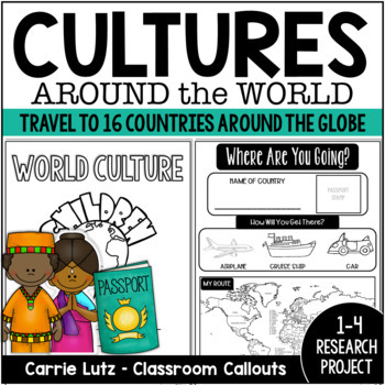
Cultures Around the World Research | Countries | Passport
Teaching your students about other people and their culture can instill compassion and understanding in young learners. With this project, students can get their passports stamped in 16 countries! They will learn about different cultures, flags, maps, and more using this fun and, high-interest resource! Great for your Social Studies Lessons. Great for Summer School!This product works well with the following objectives:2nd Grade TEKS 2.10 Culture.Culture. The student understands similarities an
Subjects:
Grades:
2nd - 4th
Types:
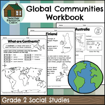
Global Communities Workbook (Grade 2 Social Studies)
This workbook covers the Grade 2 Global Communities unit in the NEW 2023 Ontario Social Studies curriculum (People and Environments).It covers various topics such as map skills, continents, oceans, and the equator. It further explores Canada, comparing climate, wildlife, natural features, homes, and recreation. It includes information on specific Canadian communities in Ontario, Yukon, Nova Scotia, and British Columbia, including a contemporary FNMI community (Saugeen First Nation). The workbook
Grades:
2nd
Also included in: Grade 2 Ontario Social Studies Workbook Bundle
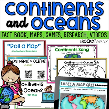
Continents and Oceans Activity | 7 Continents Printables | Ocean and Continents
Are you looking for a fun and engaging continents and oceans activity to teach map skills lessons in 2nd and 3rd grade? With engaging games, songs, maps and more, these 7 continents printables will lead to student mastery in no time! Students can label the 7 continents on a map, learn about the continents and oceans through reading passages, play continents and oceans games, sing songs, complete continent and oceans project ideas, and complete research. INCLUDES BOTH A PRINT AND DIGITAL VERSIO
Subjects:
Grades:
2nd - 4th
Types:
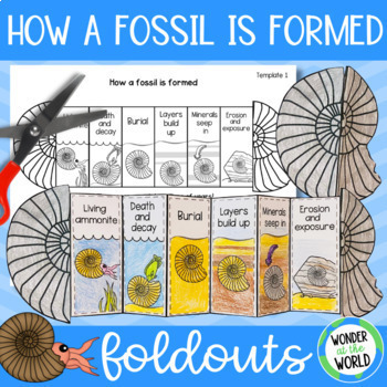
How a fossil is formed foldable sequencing activity fossilization process
Teach or review the stages of how fossils form with this folding ammonite cut-and-paste activity. This foldable sequencing activity will help students recall 6 stages of fossilization in a fun and engaging way, that's more hands-on than a standard fossils worksheet.Ammonites were pre-historic sea creatures with tentacles and a spiral shell. Their fossils can be found all over the world in many different types of sedimentary rock. The templatesThere are 4 similar PDF templates to choose from for
Subjects:
Grades:
1st - 4th
NGSS:
3-LS4-1
Also included in: Rocks and fossils display, presentation and activity bundle
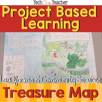
Map Skills Project Based Learning Pirate Treasure Map w/ Landforms & Communities
Need to assess your students' map skills in a fun engaging way? This project-based learning activity assesses elementary student map skills by having them bury their pirate treasure! Students become actively engaged in designing their own island and mapping the route to X Marks the Spot! A great resource for teaching and assessing basic map skills in your social studies classroom! This pirate project includes landforms and community services to make a comprehensive map assessment.This map skill
Grades:
2nd - 5th
Types:
Planet Earth - Earth Day Activities - Using Maps and Globes - Science - Reading
This comprehensive, standards-based unit teaches your kindergarten and first grade students all about planet Earth. Children love learning about our place in the solar system, an overview of our planet, how to use a map and a globe, where we live in the world (address, city/town, country and continent), how to take care of the Earth, how to reduce, reuse, recycle and compost.... plus so much more!Students are incredibly engaged:watching and learning through a slideshowmaking an Earth Day craft
Subjects:
Grades:
K - 2nd
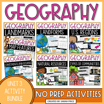
Geography Unit 2nd Grade Social Studies Interactive Notebook Worksheets Bundle
This Geography Unit 2nd Grade Social Studies Interactive Notebook resource is a bundle of 7 2nd grade social studies activity packs that include pre-made lesson plans and easy to use activities to help you teach your students about geography! This resource focuses on landmarks, maps, continents, oceans, land forms, natural resources, as well as US regions and types of communities. These social studies interactive notebook activities will teach 2nd grade social studies standards such as the sign
Grades:
2nd - 4th
Types:
Showing 1-24 of 14,406 results


