5,413 results
Kindergarten geography independent works
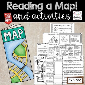
Map Skills- Reading a Map and Activities
✅⭐️Are you studying maps in your primary classroom? If so, then you will love this all inclusive NO PREP set! Not only does it go over cardinal directions and how to read a map, it also reviews parts of a map such as the map key, title, and compass rose. It is a perfect lesson to include in your social studies geography unit!⭐Please know that this resource is a PDF. It is great for distance learning if you are sending home packets or are able to transfer it to Google Slides™ to use in Google Cla
Subjects:
Grades:
K - 5th
Types:
Geography: Map Skill Cardinal Directions Worksheets:
Geography: Map Skill Cardinal Directions Worksheets:Following worksheets are included:1 directions worksheet.2 compass rose worksheets.3 worksheets..... My bedroom.3 worksheets..... My Neighborhood.3 worksheets...... My Classroom.2 worksheets....... My City.1 worksheet.....Grandma's FarmAssessment worksheets and answer keys are also included.Note: Kindly give me positive 5 stars rating. Thankyou!Kindly check my other Geography products :<a herf=”https://www.teacherspayteachers.com/Product/Geo
Subjects:
Grades:
K - 5th
Types:
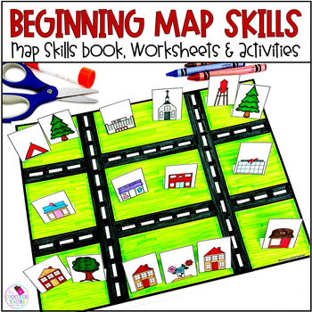
Map Skills Worksheets Book Lapbook - Reading a Map, Cardinal Directions, Compass
Are you looking for an engaging first grade map skills resource to add to your social studies curriculum? This engaging resource is what you need to teach mapping skills like cardinal directions, compass rose, and map skills. Students will love the map skills books and the hands-on build a town map. Finally, students can demonstrate their learning with the final map skills lapbook. Use this resource for:first gradesecond gradewhole class instructionsmall group instructionpartner workStudents wi
Subjects:
Grades:
K - 2nd
Types:
MAPS - How to Use a Map - Mapping Unit for Kindergarten and First Grade
Teach your students all about maps with this adorable, hands-on unit. We learn about using directional words with a compass rose, how to use map grids (find square A2, C3, etc.) how to make your own map, where we live on the map, how to find specific places on town maps and more! THESE MAP ACTIVITIES ARE INCLUDED IN MY ALL ABOUT EARTH UNITPlease do not purchase this listing if you already own Unit 8 All About Earth.--------------------------------------------------------------------------------
Grades:
K - 2nd
Types:
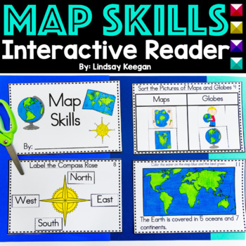
Map Skills Interactive Reader for Maps, Globes, Directions and more
These map skills worksheets are so much fun for young learners. Use this interactive mini-reader to help reinforce your student's understanding of maps, globes, cardinal directions, land, water and more!This map skills book can be used across several lessons and is perfect for whole group, small group or center activities.Each page has information about map skills and tasks for students to complete to help them show their understanding of the topic.Map Skills included in this interactive reader
Grades:
K - 2nd
Types:
Also included in: Interactive Books Bundle Readers for Math, Science and Social Studies
Planet Earth - Earth Day Activities - Using Maps and Globes - Science - Reading
This comprehensive, standards-based unit teaches your kindergarten and first grade students all about planet Earth. Children love learning about our place in the solar system, an overview of our planet, how to use a map and a globe, where we live in the world (address, city/town, country and continent), how to take care of the Earth, how to reduce, reuse, recycle and compost.... plus so much more!Students are incredibly engaged:watching and learning through a slideshowmaking an Earth Day craft
Subjects:
Grades:
K - 2nd
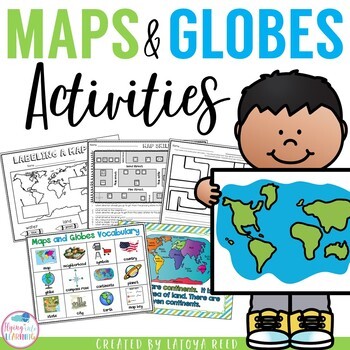
Maps and Globes
Maps and GlobesThis is the perfect unit for your teaching on Maps, Globes, and Where We Live. I have packed some great resources in this unit!!!You will get a 2 PAGE FREEBIE when you download the preview!!!Download the preview to see every page in the unit!!!!Table of ContentsPg. 2-13 Posters for teaching and vocabularyPg. 14 Vocabulary ChartPg. 15-18 word wall cards, write the room cards, etcPg 19 write the room recording sheetPg 20 What is a Globe? Mini bookPg 21 What is a map? Mini bookPg 2
Grades:
K - 2nd
Types:
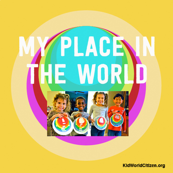
My Place in the World Project: "Me on the Map" Geography for Kids
This hands-on geography project "My Place in the World" has kids create a visual representation of how we fit into the world. Teachers often use it with the kids' geography book "Me on the Map," by Joan Sweeney. Ideal for integrated Social Studies, ELA, Geography, Literacy, and Map Skills.Using a series of nesting circles to show the relative sizes of different geographic places, this simple but effective geography lesson helps kids sort out their relation to one another. This activity includes
Grades:
K - 5th
Also included in: Geography for Kids Bundle: Three Essential Hands-on Activities
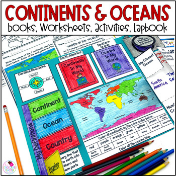
Continents and Oceans 1st & 2nd Grade Social Studies 3D Map, Lapbook, Worksheets
Do you need an engaging social studies resource to teach your students about the seven continents and five oceans? This easy-to-use resource includes everything you need to help your students learn about the world's continents and oceans.A variety of activities will keep your students engaged. These include vocabulary cards, books, worksheets, a 3D student map, a mapping lapbook, and a writing activity.This resource is part of a money-saving BUNDLE. Click to save 20% by purchasing the BUNDLE.Use
Subjects:
Grades:
K - 2nd
Types:
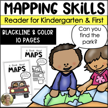
Mapping Skills Reader for Kindergarten and First Grade Social Studies
Teaching mapping skills to your students? Need to help them understand key vocabulary: map, symbols, key, cardinal directions and compass rose? Grab this reader perfect to generate talks and discussions about what maps are and how they help provide information!Includes both a blacking version for your students to color and take home! Plus a color version to project and read whole group!Information included in the reader:maps are flatmaps tell information compass rose tells north, south, east and
Subjects:
Grades:
K - 1st
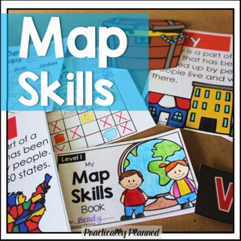
Geography & Map Skills - Reading a Map & Globe Activities & Worksheets
Make teaching mapping skills fun with this map skills mini unit! It covers geography and map navigation basics, including foundational vocabulary; using a compass rose, map key, and simple grid to navigate and read maps and globes; locating continents, oceans, poles, and the equator; and more.Here's what's included:Map Skills Anchor Charts and Vocabulary Cards (map, globe, equator, prime meridian, North Pole, South Pole, latitude, longitude, coordinate, compass rose, key, scale, physical feature
Grades:
K - 3rd
Types:
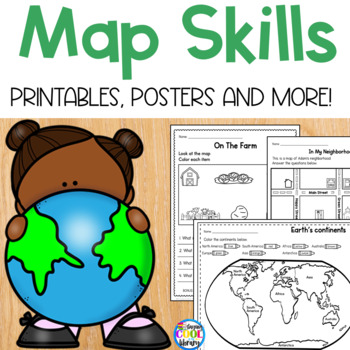
Map Skills - Worksheets and Printables
Teach beginning map skills and geography with these engaging worksheets and activities. Students will learn about cardinal directions, map symbols and map keys. Also basic geography including identifying land and water and labeling the continents and oceans. Students will also get to practice their learning by creating their own simple map. Bonus: flip book, vocabulary posters and word wall cards.Key map skills covered:Identifying north, south, east and west Practice identifying an address Ident
Subjects:
Grades:
K - 1st
Types:
Also included in: Library Skills Print MEGA Bundle
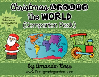
Christmas Around the World Interactive Slideshow or Informational Text
This is a companion pack to my best-selling "Christmas Around the World Scrapbook & Craft Pack".**Updated Sept. 12/16 -- slideshow is now 87 pages with 20 countries, including other winter holidays such as Kwanzaa, Diwali, and Hanukkah.**Updated Dec. 12/16 -- added an editable version of the slideshow pages so you may add your own countries. I will not be adding any more countries to the pack.**Updated Nov. 30/20 -- added a folder with separate PowerPoints for each country, to help with dist
Grades:
K - 3rd
Types:
Also included in: Christmas Around the World Bundle
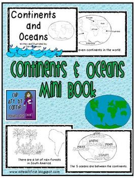
Continents and Oceans Mini Book
This is a first grade friendly emergent reader about the continents and ocean. Students will be able to read one fact about each of the continents and the oceans. Picture clues will help with text.There are 7 continents in the world.North America is made up of mostly 3 big countries.There are a lot of rain forests in South America.There are many small countries in Europe.Asia is the biggest continent.Africa is by Europe and Asia.Australia is called the "Land Down Under".Antarctica is at the So
Subjects:
Grades:
K - 3rd
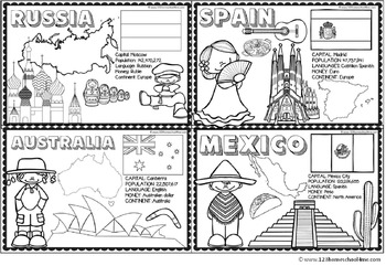
Countries Around the World
If your students are learning about countries around the world this is a handy resource. Kids will learn and commit facts to memory as they color famous landmarks, country shape, flags, traditional clothing, and more for 18 countries including:
- Greece
- Italy
- France
- United Kingdom
- Brazil
- Netherlands
- United States
- Egypt
- China
- Japan
- Peru
- Russia
- Australia
- India
- Kenya
- Spain
- Mexico
Subjects:
Grades:
PreK - 4th
Types:
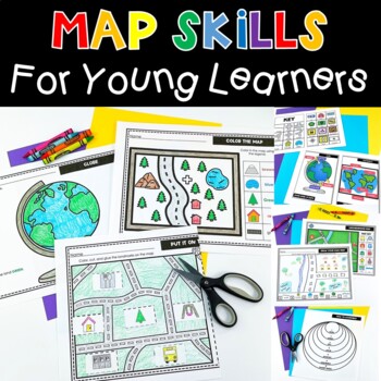
Map Skills Activities and Worksheets Perfect For Me On A Map Kindergarten
This engaging map skills unit has EVERYTHING you need. Early map skills activities don’t have to be boring. These interactive worksheets help your students understand where they are in the world. Students will learn to read a map, create a map, understand geography vocabulary and so much more. Lessons are age appropriate for young learners. This will be a favorite social studies unit! ⭐ WHAT’S INCLUDED: Anchor Charts for Map Grid, Map, Globe, Continents, Compass RoseDraw a MapPut it on the Map
Grades:
PreK - 2nd
Types:
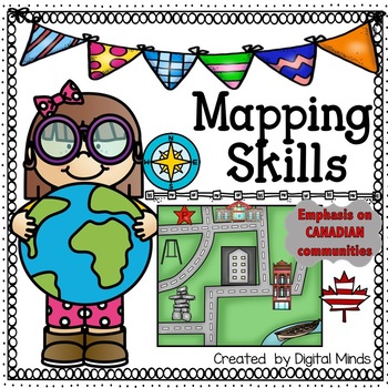
Mapping Skills
Perfect for Kindergarten to Grade 2. Even better for Alberta Grade 2 Social Studies. This resource includes the communities of Meteghan, Iqaluit and Saskatoon as a point of context within learning about mapping skills. This pack is great as an introduction of the bigger picture of where we live and teaches students spatial awareness.In this pack, students will learn what a map is, cardinal directions, compass rose, answer high level thinking comprehension questions, learn what symbols are and us
Grades:
K - 2nd
Types:
Also included in: Alberta Grade 2 Social Studies Bundle - ALL UNITS
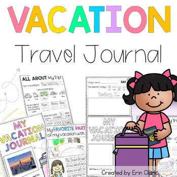
My Vacation Student Travel Journal
This NO-PREP journal was created for your students to take with them as a homework assignment (or just for FUN!) while they are on vacation.Your students will be able to practice their writing while they are away by recording their vacation experiences.INCLUDED PAGES:- Customizable Journal Cover- Introduction Letter- All About My Trip: I am traveling by... (transportation) I am traveling with... (family and friends) I will be there for ___ days (calendar skills)- Differentiated Daily Journal
Subjects:
Grades:
K - 6th
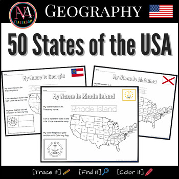
50 States of the USA Activity Bundle (Map and Flags)
Try it on EASEL! This resource includes a ready-to-use interactive activity students can complete on any device. This “50 States of the USA” activity includes fun worksheets for all 50 states, including Washington DC. Each activity aims to build and strengthen the following skillsets for Pre-K thru 1st Grade students.1. Trace it—Penmanship.2. Find it—Critical thinking and problem-solving.3. Color it—Creativity and fine motor skills. The activities also help familiarize young students with the US
Subjects:
Grades:
PreK - 2nd
Types:
Also included in: USA State Symbols and Maps MEGA Bundle | Geography
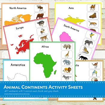
Montessori Animal Continents Activity Sheets
A total of 21 activity sheets!! This is a Nienhuis inspired Montessori geography material in learning animals thriving in each 7 continents (Asia, Africa, Australia, Antarctica, Europe, North America and South America). Note that this file is in a ZIP FORMAT. Be sure you have the tools to open this learning pack.There are 5 animals featured in each continent. ANIMALS ARE IN NOT IN REAL PHOTOS, please check the BLOGPOST and THUMBNAILS for the preview.Each continent has the following sheets: -
Subjects:
Grades:
PreK - 6th
Types:
Geography Unit for Special Education
Make geography concepts accessible to all learners with this comprehensive unit tailored for special education teachers and parents of autistic students. Designed for easy understanding, the visually-based resources include multiple versions of each activity, ensuring differentiation for various learning styles. The unit features engaging games, printables, flashcards, and an adapted book, making geography an enjoyable social studies theme in your classroom. The extensive content includes flashc
Subjects:
Grades:
K - 2nd
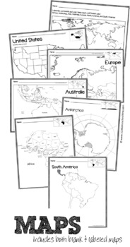
Full Page Maps of the World / Continents
Included are 19 pages of full page maps:
- color the continents
- label the continents
- Africa (labeled & plain)
- Antarctica (labeled & plain)
- Asia (labeled and plain)
- Australia (labeled & plain)
- Europe (labeled and plain)
- North America (labeled and plain)
- South America (labeled & plain)
- United States (labeled & plain)
Subjects:
Grades:
K - 6th
Types:
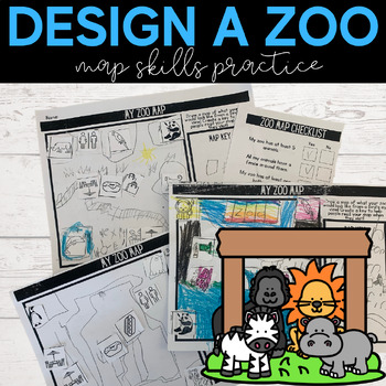
Map Skills | Design a Zoo | Build a Map
Are you looking for fun and engaging map worksheets for your primary learners to practice their map skills and featuring zoo animal clipart? This is perfect for a geography unit in your social studies instruction. This hands-on printable is suitable for students in kindergarten, first, and second grade who are introduced to reading and using maps. Your students will love this activity because they get to use their creativity and map knowledge to build and design their own zoo. Ways to Use this A
Subjects:
Grades:
K - 2nd
Types:
Also included in: Social Studies Primary Project Bundle | Geography | Economy | Map Skills
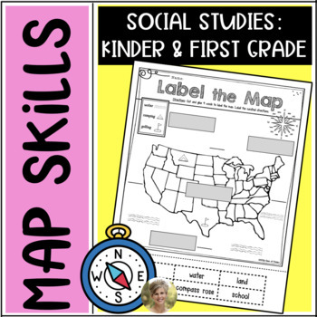
Mapping Skills: Label It! First Grade & Kindergarten Social Studies Vocabulary
Teaching your students mapping skills? Want them to know some basic vocabulary about mapping? This is a clear and simple Label It sheet for mapping! No teacher prep, just print & go!The following 4 parts are cut & then glued:compass roselandoceanmap keyStudents are also asked to label the cardinal directions on the lines provided.(Please note: 2 of the labels are NOT used, students will need to determine which they are.)Print and go for young students and would make a good center activit
Subjects:
Grades:
K - 1st
Types:
Showing 1-24 of 5,413 results

