635 results
Free high school geography handouts
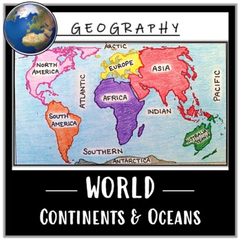
World Map Activity- Label & Color the Continents and Oceans! (Google Compatible)
Use this Continents & Oceans Map Coloring activity to jump-start your lesson! Each student will make their own, personalized world map that focuses on labeling and coloring the continents and oceans, all while enhancing their knowledge of the earth. After the map activity, your students can test their skills with a blank map assessment! A completed, colored map is included to use as reference. This resource is Google compatible, but the blank map is intended to be printed for coloring and
Grades:
5th - 12th
Types:
CCSS:
Also included in: Ancient Civilizations / World Maps BUNDLE- Color & Label Activities!
United States Map with State Names
You're search for the PERFECT United States map is over!
This black and white version has student learning in mind and contains the FULL STATE NAMES! This map is also part of my larger bundle on the Electoral College.
Click here to view it!
If you have any questions regarding any part of this product, please do not hesitate to contact me.
Thank you!
Subjects:
Grades:
1st - 12th, Higher Education, Staff
Types:
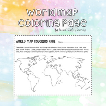
World Map Coloring Page Continents and Oceans
Use this fun, free coloring page to help students learn their continents and oceans! Students will be directed to color and label the three primary oceans (Atlantic, Indian, Pacific) and the six primary continents (Africa, Asia, Australia, Europe, North America, South America).
Subjects:
Grades:
1st - 9th
Types:
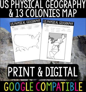
US Physical Geography & 13 Colonies Maps
US Physical Geography and 13 Colonies Maps - Print & DigitalThis is a great activity to do with your students at the beginning of your US History or APUSH class! Whether your students are from the States or you are teaching these classes abroad, this is a good refresher/introduction to the geography of the States.I usually give this out at the beginning of the year so students can become more familiar with the geography we will be referencing throughout the course. Using Google Classroom? No
Subjects:
Grades:
4th - 12th
Types:
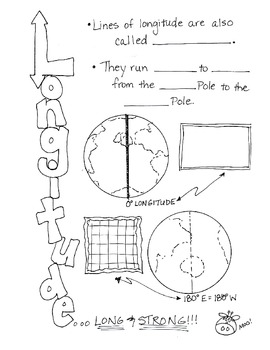
Cartoon Notes for Map Skills-Longitude
Visual notes for learning map skills...I call them 'Cartoon Notes!' These notes are a hit in my classroom, as they tie in visual learning with note-taking. I use these in my classroom to introduce, reinforce, and review with my students. Enjoy!
This is the page for teaching 'Longitude." Make sure you search for the page on 'Latitude' as well!
Subjects:
Grades:
3rd - 9th
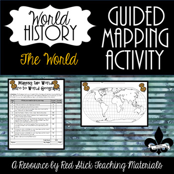
FREE Mapping The Continents and Oceans--No PREP!
See what my Guided Mapping Activities are all about with this FREE Guided Mapping Activity. This ready to use Mapping The World: Intro To World Geography Activity will give students a 10 step guided mapping activity. All students need to complete the assignment is a Textbook, Atlas OR the internet. This is a great activity to leave with a substitute, since it requires only a textbook, crayons and no prep!Included is the 10 step Mapping the World handout and an outline map of the Continents w
Subjects:
Grades:
7th - 11th
Types:
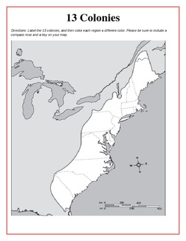
13 Original British Colonies Blank Map
This is a map of the original 13 British Colonies that is blank and able to be filled out by students. The directions also state that students are to color the three regions and include a key and compass rose on their maps. Great way for the students to learn about the 13 Original colonies.
If you like this printable, please visit my store and see what else I have!!! www.teacherspayteachers.com/store/Kathryn-B
Subjects:
Grades:
5th - 12th
Types:

Country Research Project Rubric and Packet
This is an original rubric and research packet to photocopy and give to students when doing a country research project. I created it for my middle school world geography class but it can be used by any social studies teacher or English teacher who wants students to complete a thorough research project.
The research packet includes a rubric with fill-in-the-blank due dates for each section. There is space for notes and citations of each general category (history, economics, culture, physical ge
Subjects:
Grades:
6th - 12th
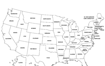
United States Map
United States Map.
FYI - For some reason the bottom is cut off a little.
Grades:
PreK - 12th, Higher Education, Adult Education
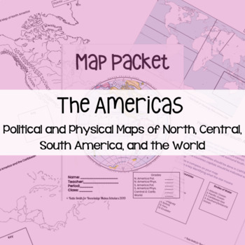
Maps: Political and Physical of North, South, Central America
I feel that it is important my students know about geography before they can understand the places I am going to be talking about. This resource has two formats: 1 - PowerPoint - Editable (You might want to cut down how many countries they label)2 - PDF - Ready to PrintThe map packet includes: 1 - North America Political Map2 - North America Physical Map3 - South America Political Map4 - South America Physical Map5 - Central America & Caribbean Political Map6 - Central America & Caribbea
Subjects:
Grades:
6th - 12th
Types:
Also included in: CCSD 7th Grade History Back to School Bundle
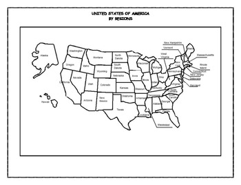
United States by Regions and Word Search
One hundred and ten pages in all. This is an easy way to learn the fifty states names and locations. Broken into four regions, each region contains a map to be labeled with states and capitals, state abbreviations, word search puzzles, and jumble puzzles. All complete with answer keys. They are in PDF format.
Grades:
4th - 12th, Higher Education
Types:
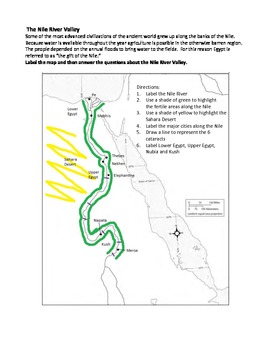
The Nile River Valley Map Activity
Map activity on the Nile River Valley and surrounding territories. Students are asked to label major cities and land forms. They are also asked to highlight the physical features that affected civilization in ancient Egypt. Students are then asked to answer questions about the Nile River Valley and how it affected life in ancient Egypt. Activity provides students with an understanding of how the geography influenced life and early Egyptian culture. Activity includes Common Core Essential St
Grades:
9th
Types:
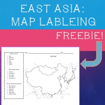
East Asia Map Labeling Freebie
A simple, fill in the blank map of East Asia with prompts to label all major physical features, bodies of water, and countries:"Label the Countries:· China· North Korea· South Korea· Japan· Taiwan· MongoliaLabel the Bodies of Water:· Yellow Sea· East China Sea· Sea of Japan· Pacific Ocean· South China SeaDraw and Label the Physical Features:· North China Plain· Tibetan Plateau· Gobi Desert· Yellow River· Yangtze River· Mongolian Plateau" Compatible with most maps on classroom set of Atlas's or
Subjects:
Grades:
4th - 10th
Types:
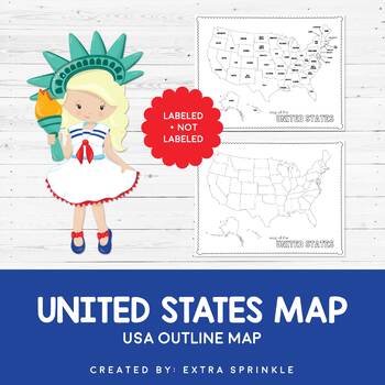
FREEBIE United States Outline Maps
Dear Educator,Thank you for downloading the FREEBIE United States Outline Map. I have no doubt that this incredible resource will become your go-to map year after yearIncluded in this packet you will find two versions of the United States outline map. The first version is available in black and white and contains only a title. It is ready for your students to color and label as you see fit. The second version comes complete with state names. It is available in black and white as well.I crea
Subjects:
Grades:
PreK - 12th
Types:
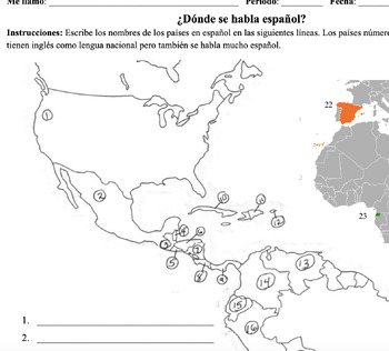
Spanish Speaking Countries Map
This is a clear easy map for the kids to use to test their geography on the different Spanish Speaking countries. Updated version includes Equatorial Guinea, instructions for writing and explains which 2 countries have English as their national language but also have a high percentage of Spanish speakers. Also includes answer key!
Subjects:
Grades:
9th - 12th
Types:
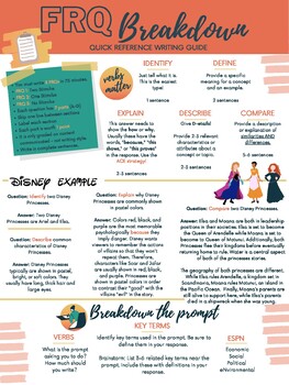
AP Human Geography - FRQ Quick Writing Guide
Use this one-page handout to remind your students of College Board's expectations for writing free response questions. Use this handout digitally or print it for students to use while they write their FRQs for AP Human Geography class!
Grades:
9th - 12th, Staff

Africa Geography Unit
This is a complete unit filled with 37 assignments. The assignments range from worksheets, graphic organizers, map assignments, PowerPoints, study guides and a Unit Test. This Unit is intended for 7th grade but can be modified to be used for any grade level.
Grades:
6th - 9th
Types:

A Long Walk to Water Reading Guide
This lesson set goes along with the book A Long Walk to Water. An excellent read with a powerful message. A full work packet and teacher guide are included at the H2O for Life Website.
Subjects:
Grades:
5th - 12th
Types:

Continents Label Worksheet
Label the 7 Continents Worksheet
Do you need to make a quick activity or assessment for a geography lesson? Color and black/white worksheets are provided.
Answer key included!
Save yourself some time and download this resource!
If you like this product you may also like these free Geography bulletin board posters:
http://bit.ly/2xKY5p5
Let’s Stay Connected!
I would love to be able to share with you new products, store discounts, free products, and updates. Just click the green “Follow
Grades:
PreK - 9th
Types:
Global Environmental Data Set: Population, Consumption, Climate Change
This editable environmental data chart contrasts population, consumption, and carbon dioxide emissions for the United States, Canada, Europe, Latin America, Africa, China, India, and Asia (minus India and China). Related data including income, poverty, contraceptive use, contrasted government expenditures (education, healthcare, military), conserved natural habitat, and more are included. This data set, and clarifications for its use, are ready to use in lesson plans, debates, classroom activiti
Subjects:
Grades:
6th - 12th
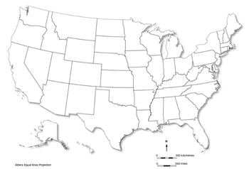
USA - blank map
A blank map of the USA that can be used in class in a range of mapping activities limited only by the imagination of the teacher. This map has a shadow. The map is the Albers Equal Area Projection and includes a north point and both a linear scale in miles and one in kilometres.
Subjects:
Grades:
1st - 12th
Types:
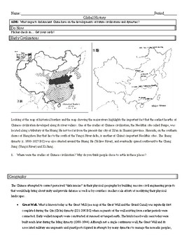
Ancient China - Early River Valley Civilizations
Ancient China - Early River Valley Civilizations; Geography, Oracle Bones, Terrace Farming/Irrigation, and the Great Wall.
Subjects:
Grades:
6th - 12th
Types:
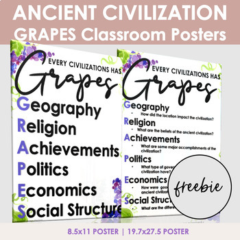
Ancient Civilizations Grapes Posters
The GRAPES ancient civilization posters are perfect for a world history classroom.GRAPES is an easy way for students to remember information about ancient civilizations.GRAPES is an acronym for:GeographyReligionAchievementsPoliticsEconomicsSocial StructurePosters come in two sizes: 8.5x11: Use this version for notebook posters19.7x27.5: Use this version to print a large posterNow Includes 2 new designs (18X24)Customer Tips:How to get TPT credit to use on future purchases:• Please go to your My
Grades:
6th - 12th
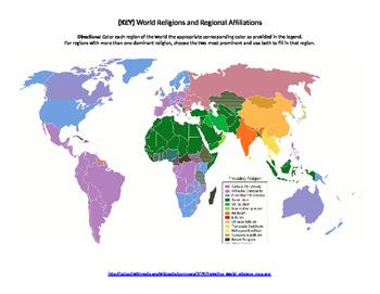
World Religions Map Quiz
Printable document containing a blank map that can be used to highlight where certain religions are most prominent. Also contains a colored map to be used as an answer key.
Subjects:
Grades:
6th - 12th, Higher Education
Types:
Showing 1-24 of 635 results


