
World Map Activity- Label & Color the Continents and Oceans! (Google Compatible)


- PDF
Also included in
 This maps bundle offers a creative way to learn about the geography of the Ancient World! Each student will make their own, personalized maps of different global civilizations, and enhance their knowledge of each region. They will label and color their blank maps, and answer follow-up questions relPrice $9.99Original Price $16.03Save $6.04
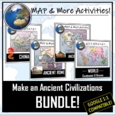 **I can adjust the map topics that you receive with this bundle- just send me a request in the Q&A section!** These map & more activities are consistently rotating based upon buyer request. As the map combinations change, I will keep the current combination announced here! All bundles willPrice $7.95Original Price $10.00Save $2.05
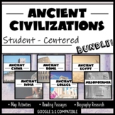 Student-Centered, Google Compatible, and requires NO PREP- great for Distance Learning! This bundle provides an overview of SIX Ancient Civilizations- China, India, Rome, Greece, Egypt, and Mesopotamia. You will receive three different resources per civilization. All resources are aligned with cuPrice $27.00Original Price $38.82Save $11.82
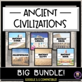 Printable, Google Classroom compatible, differentiated, and created to make your lesson planning easier! The civilizations that this bundle is centered around are: Mesopotamia, Ancient Egypt, Ancient India, Ancient China, Ancient Greece, and Ancient Rome. Students will adapt to the uniformity of tPrice $49.95Original Price $76.46Save $26.51
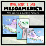 Teaching about Mesoamerica and the cultures of powerful indigenous empires? These map activities are a great addition! This bundle adds a geographic component to your Mesoamerica unit. It is completely student-centered and includes a Google compatible resource to limit the use of paper (however,Price $6.25Original Price $7.50Save $1.25
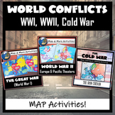 Three Global Conflicts- The Great War (WWI), World War II, and the Cold War, with FIVE different map coloring and labeling activities. Each resource comes with easy-to-follow student directions, follow-up map tasks or questions, and completed sample maps to use as reference. These are very easy fPrice $6.25Original Price $7.50Save $1.25
 Humans love coloring- tap into your students' interests and apply it to your Social Studies and Geography lessons! 21 different map activities are available and cross many different social studies topics- like American History or Ancient Civilizations. All maps are completely student-centered andPrice $27.99Original Price $37.89Save $9.90
Description
Use this Continents & Oceans Map Coloring activity to jump-start your lesson! Each student will make their own, personalized world map that focuses on labeling and coloring the continents and oceans, all while enhancing their knowledge of the earth. After the map activity, your students can test their skills with a blank map assessment! A completed, colored map is included to use as reference. This resource is Google compatible, but the blank map is intended to be printed for coloring and labeling purposes.
Great for independent learning centers, to keep in an emergency sub folder, to enhance knowledge of world geography, or to introduce a social studies lesson. Can be used with students in a variety of grade levels and with varying ability levels.
Included:
- Two blank maps- one with colored oceans, one without
- Map Directions (with suggested colors to use)
- A "Test Your Skills" assessment with a blank map
- A completed, colored map to use as a guide
- A link to the Google Compatible map activity
Are you using this map in a US or American History classroom? Click here for the Ultimate Map Pack!
Are you using this map in a World History Class? Click here for the World Civilizations Map Bundle!
**Please give feedback (and you will earn TpT $$!), and ‘Follow Me’ so that you are the first to get updates and new products!
Check out these other MAP Resources!
