2,931 results
11th grade geography assessments

Spanish Speaking Countries Practice Activities Puzzles pdf and digital Worksheet
Help your Spanish students review the Spanish Speaking Countries and Capitals with 11 pdf practice activities, 11 digital practice activities, PLUS 13 quizzes / assessments / activities to choose from (including Google Forms™ quizzes!)No Prep! ⭐️ 1:1 classroom friendly, digital learning friendly. Google Forms™ self grading assessments included.OR⭐️Just print and go!Perfect for Spanish back to school, and to help your Spanish students practice the Spanish-speaking countries all year!✅ What's inc
Subjects:
Grades:
4th - 12th
Types:
Also included in: Build Your Own Bundle of Spanish Resources | Special order for Sydney
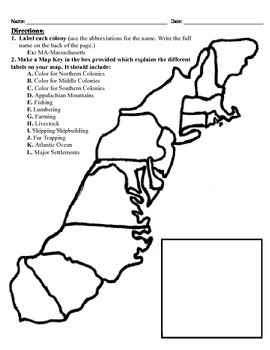
13 Colonies Map Project (8.5x11)
This project has three different differentiated levels for different levels of students, or to have them work up to... This project is set-up to print on 8.5x11 sheets of paper. In the first tier (the easiest), the students are given a map of the thirteen colonies and have to label each colony and then color the Northern/North Eastern Colonies, the Middle Colonies and the Southern Colonies different colors in a map key they create. In the second tier (medium difficulty), the students have to la
Subjects:
Grades:
3rd - 12th
Types:
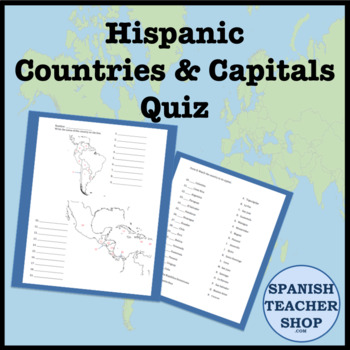
Latin America: Central and South America Country Capital Quiz
Quiz for teaching the capitals and countries of Central and South America. Students label the blank maps of Latin America. Then match the capital to the country. 37 questions. PDF file.
Subjects:
Grades:
5th - 12th
Types:
Also included in: Hispanic Heritage Month Bundle
AP Human Geography Unit 1 Lesson and Activity Bundle
You've got Human Geography Unit 1: Thinking Geographically covered with this no-prep, CED-aligned (updated 2024) lesson and activity bundle! These resources can be used in class or for independent study. Four comprehensive lessons with guided notes and built-in discussion questions are provided, along with complementary worksheets and activities, review games, a review packet, and a quiz to assess student understanding of the unit.Materials included: Unit 1 Introductory TriviaIntro to Maps &
Subjects:
Grades:
10th - 12th, Higher Education
Types:
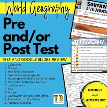
World Geography Pretest and/or Post Test
World Geography Pretest and/or Post TestTest your students’ prior geography knowledge with this pretest. This test is designed to give your students prior to starting your World Geography class, or Geography unit. I also love to give it to my students at the end of the unit or semester as a post test. This is perfect for data analysis. The following topics are covered in 75 questions (matching and fill in)ContinentsOceansYour local geographyFive themes of geographyTopography (land and water f
Subjects:
Grades:
8th - 12th
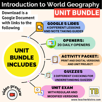
Introduction to World Geography Google Slides BUNDLE and Note Taking Guides
Give your students a SOLID introduction to Geography with Geography Lessons on: Mapping Skills, Topography, 5 Themes of Geography, Standard of Living, and Climate/Earth-Sun Relationship.See Full Preview HEREIncludes:4 Google Slides lessons with notetaking guides: Mapping Skills, Standard of Living, Topography, and 5 Themes of Geography20 daily openers with student worksheetsActivity packet (print, digital, and answers)Create an Island ProjectIntro diagnostic activity that can also be used as a u
Subjects:
Grades:
6th - 11th
Types:
Getting To Know You Through Geography: A Beginning of The Year Carousel Activity
Geography teachers, are you always looking for a great Getting To Know You back-to-school geography activity for the beginning of the year for all ages? This activity will encourage your students to become familiar with their classmates as they work in groups and rotate through various stations. What a great introduction to basic geography skills such as graphs, charts, maps, and the concept of culture. It truly teaches geography skills all the while allowing students to collaborate, have fun, a
Grades:
5th - 12th
Types:
Also included in: Bundle for T. Wilson (25 Geography Lessons)
AP Human Geography Exam Review Packets
Help your students prepare for their Human Geography exam with these comprehensive review packets for units 1-7 that include short answer questions and small activities to help students study the key concepts from each unit, as outlined in the CED (updated 2024). These resources can be printed or used digitally and students can complete the packets on their own or with a partner/group. Once finished, they can be used as helpful guides for independent study. Answer keys are included for quick and
Subjects:
Grades:
10th - 12th, Higher Education
Types:
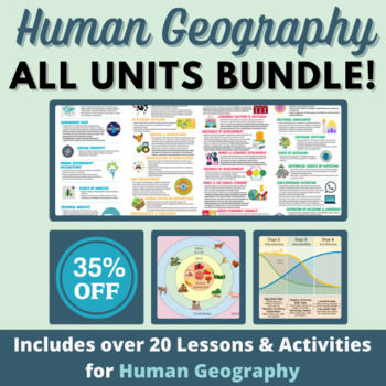
HUGE Human Geography Bundle - Culture, Migration, Political Geo, Urban & Rural
This includes everything in my store - and I will update with anything else I add to my store in 2023! While it's not all that you would need to teach a Human Geography course, it's a great start for a new teacher (or even those of us veteran teachers with multiple preps). I have used these lessons and activities with AP, Honors, and Regular level Human Geography students, both in person, and now as I teach virtually. Note: Please make sure to create copies of any embedded materials (like video
Grades:
7th - 12th
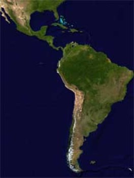
Latin America Mapping Activity
This product is a mapping activity on the region of Latin America. Students will label and color 24 different Latin American Nations as well as draw and label major physical features. When students have completed the map they will then answer 9 questions based on their map.This product also contains a blackline political map of Latin America. I typically make the map a 11x17 making it easier for students to label countries and physical features.This is a rigorous map project that makes the stude
Grades:
6th - 12th
Types:
Also included in: Geography Mapping Activities BUNDLE
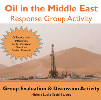
Oil in the Middle East Response Group Activity - Geography
In this response group activity, students learn about the benefits and costs of the Oil in the Middle East. A number of implementation ideas are provided along with the 23 page set to allow students to investigate 5 topics.Content Topics CoveredGeography of the Middle EastThe Processing of OilThe Human ImpactThe Export BusinessWorld ConnectionsAbout this ResourceAll materials are provided and include reading cards for each center, primary sources such as images, charts, and graphs to analyze, a
Grades:
6th - 12th
Types:
Also included in: Modern World History Interactive Lessons Bundle Walking Tours & More
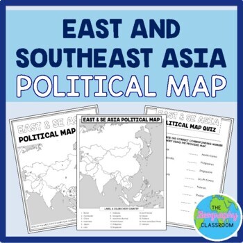
East and Southeast Asia Political Map Set
This set is perfect to use to teach students the countries of East and Southeast Asia.This set includes:TEACHING GUIDE22 editable POWERPOINT SLIDES & GOOGLE SLIDES which guide students through labeling their mapa BLANK POLITICAL MAP of East and Southeast Asia for students to fill out in order to learn and locate the countriesFilled in map / TEACHER KEYPRACTICE map quiz2 differentiated versions of a MAP QUIZ (paper copies)ANSWER KEYS to the map quizzes2 differentiated versions of a GOOGLE FOR
Grades:
6th - 12th
Types:
Also included in: Asia Maps by Region BUNDLE
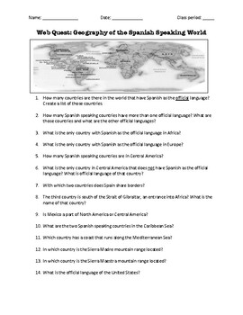
Web Quest: Geography of the Spanish-Speaking World (emergency sub plan)
This activity contains 40 questions in English written in a trivia format. It is excellent if you plan to have a substitute teacher as it will keep your students busy researching answers. The questions can also be useful to motivate class discussion. Includes answer key.
Subjects:
Grades:
5th - 12th, Higher Education, Adult Education
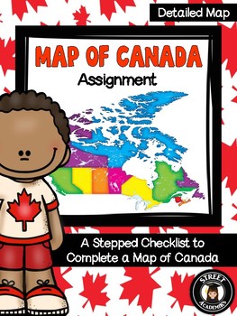
Map of Canada Assignment - Detailed Map
This is a minimal-prep assignment that you can simply photocopy and distribute to students now! The assignment is broken down into 10 steps and is perfect for an applied or academic classroom. The assignment includes a built-in checklist for students to use while completing their maps.
There are two versions of this assignment included in this download – one with and one without the post-it note annotation. There are also two rubrics to reflect both versions of this assignment. You can use the
Subjects:
Grades:
4th - 12th, Higher Education, Adult Education
Types:
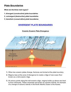
Tectonic Plate Boundaries - Activity and Worksheet
Tectonic Plate Boundaries - Activity and WorksheetIn this activity, students must use their knowledge and understanding of plate tectonics and identify and label each of the correct tectonic plate boundaries. After doing so, students are expected explain, in sentence form, what processes are occurring at each of the respective plate boundaries.An answer key is included.Additional activity:Tectonic Plate Boundaries - Summary Chart with Answer Key
Subjects:
Grades:
7th - 12th
Types:
Geography and World History, World Map Quizzes, Quiz Bundle
These 8 pre-numbered maps and 16 quizzes will save you hours upon hours of creation and make preparation for assessing students on geographic locations effortless. Each has been designed with a numbered map, reproducible answer sheet and teacher’s answer key. When the class reaches the larger continents such as Europe, Asia, and Africa, it is suggested that the instructor assess the student in sections or regions before assessing them over the entire continent. This will allow students to learn
Grades:
5th - 12th, Higher Education, Adult Education
Types:
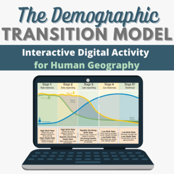
Demographic Transition Model Interactive Digital Human Geography Activity (DTM)
Looking for a lesson to upload for your virtual students on the Demographic Transition Model? Look no further! Included in your purchase is an interactive Google Slide that you can individually assign to students via Google Classroom. An embedded YouTube video and internet links will allow them to learn about the DTM, and then drag & drop information into the 5 stages across 3 Google Slides. They'll learn about birth rates, death rates, the rate of natural increase, fertility rates, example
Subjects:
Grades:
7th - 12th
Types:
Mandela: Long Walk to Freedom Viewing Guide
A key part of holding students' attention and keeping them interested in class is relevance. The 2013 film Mandela: Long Walk to Freedom is a Social Studies teacher's dream! It's new, exciting, AND uber-educational! YAY!
Here's my tried and true viewing guide pack for the film. It includes student questions to answer during the film (in order), teacher notes (answers and lets you know when to hit FastForward due to some intimate moments), a permission slip to send home to parents, and a refle
Grades:
7th - 12th
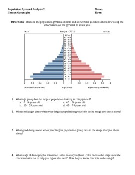
Population Pyramid Analysis Activity (Demographic Transition Model) Version 2.0
I use this activity after teaching both the Demographic Transition Model (stages of demographic transition) and the basics of population pyramids. Taking data from the CIA world fact book site, I have located 4 very different population pyramids that students analyze, answer questions about and make predictions into the future understanding much can be told about a nation looking at population demographics. This document could be used as a formative or summative assessment. Additionally, this
Grades:
8th - 12th
Types:
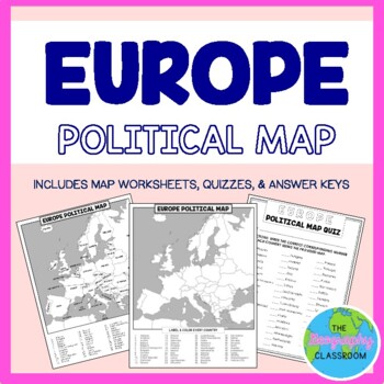
Europe Political Map Set
This set is perfect to use to teach students the countries of Europe.This set includes:Teaching guide56 editable slides (available as PowerPoint slides and Google Slides) which guide students through labeling their mapa BLANK POLITICAL MAP of Europe for students to fill out in order to learn and locate the countriesFilled in map / teacher keyPractice map quiz2 differentiated versions of a MAP QUIZ (paper copies)ANSWER KEYS to the map quizzes2 differentiated versions of a GOOGLE FORM MAP QUIZ tha
Grades:
5th - 12th
Types:
Also included in: Europe Maps by Region BUNDLE
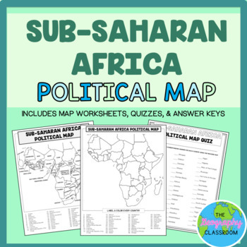
Sub-Saharan Africa Political Map Set
This set is perfect to use to teach students the countries of Sub-Saharan Africa.This set includes:TEACHING GUIDE56 editable POWERPOINT SLIDES & GOOGLE SLIDES which guide students through labeling their mapa BLANK POLITICAL MAP of Sub-Saharan Africa for students to fill out in order to learn and locate the countriesFilled in map / TEACHER KEYPRACTICE map quiz2 differentiated versions of a MAP QUIZ (paper copies)ANSWER KEYS to the map quizzes2 differentiated versions of a GOOGLE FORM MAP QUIZ
Grades:
6th - 12th
Types:
Also included in: Africa Maps by Region BUNDLE
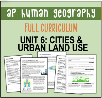
AP Human Geography Unit Plan: CITIES AND URBAN LAND USE
AP HUMAN GEOGRAPHY FULL CURRICULUM - New for 2020! EVERYTHING you need to teach UNIT 6: Cities and Urban Land Use This product is a complete teacher’s guide to Unit 6 Cities and Urban Land Use: day-to-day activities, notes, graphic organizers, YouTube videos, vocabulary, current events, and other reading passages together with a corresponding PowerPoint. The bundle includes ALL of the following! approximately 16-20 days11-12 full period lessons (each lesson’s packet 4+ pages)suggested easy to f
Grades:
9th - 12th
Types:
Also included in: AP Human Geography Full Year Curriculum!
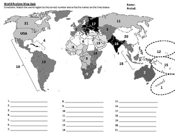
AP Human Geography and AP World History World Regions Map Quiz
This map quiz is based off of the world regions map used in AP Human Geography. There are TWO versions of the quiz, with answer keys, as well as a study map (with regions labeled) and a blank practice map. This map and quiz is useful when teaching any world geography/world history style course, as many students are unfamiliar with the locations of many world regions, making it difficult to do a comparative study without this prior knowledge.* Ties into topic 1.7 Regional Analysis in AP Human Geo
Grades:
7th - 12th
Types:
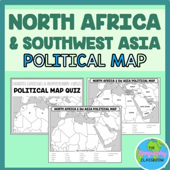
North Africa and Southwest Asia Political Map Set
This set is perfect to use to teach students the countries of North Africa and Southwest Asia.This set includes:TEACHING GUIDE27 editable POWERPOINT SLIDES & GOOGLE SLIDES which guide students through labeling their mapa BLANK POLITICAL MAP of North Africa and Southwest Asia for students to fill out in order to learn and locate the countriesFilled in map / TEACHER KEYPRACTICE map quiz2 differentiated versions of a MAP QUIZ (paper copies)ANSWER KEYS to the map quizzes2 differentiated versions
Subjects:
Grades:
6th - 12th
Types:
Also included in: World Political Maps BUNDLE
Showing 1-24 of 2,931 results


