92 results
Other (social studies) worksheet images
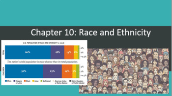
Intro to Sociology- Chapter 10 Bundle- Race and Ethnicity
- A comprehensive bundle that has everything you need to objectively teach about race and ethnicity- The bundle includes the following:a PowerPoint/lecture guide that also doubles as the chapter lesson plansIEP/504 friendly, fill in the blank notes that coincide with a the PPT A guided reading with link to FREE, NEW ONLINE TEXTBOOKa brief article covering John Howard Griffin's famous social experiment of attempting to live undercover as a black man in America during the 1950's with embedded ques
Subjects:
Grades:
9th - 12th, Higher Education
Types:
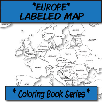
Europe Political Map (Labeled) **Coloring Book Series**
**Geography Coloring Book Series****History Coloring Book Series**This political map is ready for students to color or use for reference. Each independent state comes pre-labeled.These are particularly great for AP US History, AP Human Geography, or any other geography, Spanish, history course, or social science course.The format is .PNG to allow for you to paste and stretch in Word. I've found that .3'' margins (all sides) is the farthest most standard printers will allow. Set these in your Wo
Grades:
Not Grade Specific
Types:
Also included in: MAP BUNDLE *Europe* Labeled, Unlabeled Word Bank, Quiz, Coloring (4)
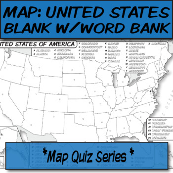
WORD BANK United States Political Map **Quiz Series**
**Geography Coloring Book Series****History Coloring Book Series**This blank political map with word bank is ready for students to label. Each independent state is left blank with a corresponding word bank for assistance.These are particularly great for AP Human Geography, AP US History, or any other social science course.The format is .PNG to allow for you to paste and stretch in Word. I've found that .3'' margins (all sides) is the farthest most standard printers will allow. Set these in your
Grades:
Not Grade Specific
Types:
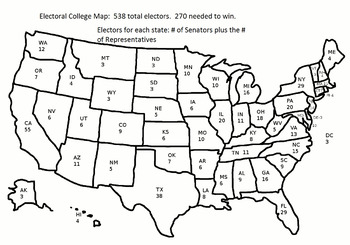
2016 Electoral College Map: Constitution Day
This is a JPEG of the 2016 Electoral College Map.
The map can be used with these questions:
Electoral College Map Questions
Grades:
5th - 12th
Types:
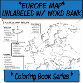
Europe Political Map (Unlabeled with Word Bank) **Coloring Book Series**
**Geography Coloring Book Series****History Coloring Book Series**This political map is ready for students to color or use for reference. Each independent state is left blank for students to label with the help of a word bank.These are particularly great for AP US History, AP Human Geography, or any other geography, Spanish, history course, or social science course.The format is .PNG to allow for you to paste and stretch in Word. I've found that .3'' margins (all sides) is the farthest most sta
Grades:
Not Grade Specific
Types:
Also included in: MAP BUNDLE *Europe* Labeled, Unlabeled Word Bank, Quiz, Coloring (4)
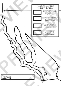
California Regions
Have students color code the California regions with crayon and glue on bits of tissue paper onto designated regions to give this graphic organizer a 3D effect.
Grades:
3rd - 4th
Types:
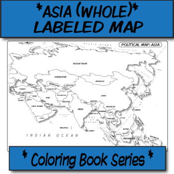
Asia (WHOLE) Political Map (Labeled) **Coloring Book Series**
**Geography Coloring Book Series****History Coloring Book Series**This political map is ready for students to color or use for reference. Each independent state comes pre-labeled.These are particularly great for AP US History, AP Human Geography, or any other geography, Spanish, history course, or social science course.The format is .PNG to allow for you to paste and stretch in Word. I've found that .3'' margins (all sides) is the farthest most standard printers will allow. Set these in your Wo
Grades:
Not Grade Specific
Types:
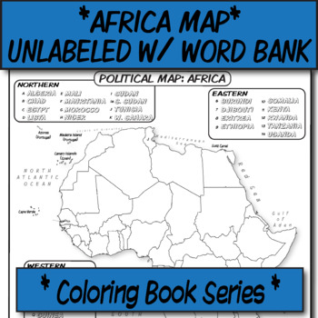
Africa Political Map (Unlabeled with Word Bank) **Coloring Book Series**
**Geography Coloring Book Series****History Coloring Book Series**This political map is ready for students to color or use for reference. Each independent state is left blank for students to label with the help of a Word Bank.These are particularly great for AP US History, AP Human Geography, or any other geography, Spanish, history course, or social science course.The format is .PNG to allow for you to paste and stretch in Word. I've found that .3'' margins (all sides) is the farthest most sta
Grades:
Not Grade Specific
Types:
Also included in: *UNLABELED POLITICAL MAP BUNDLE* **Coloring Book Series**
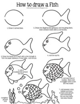
How to draw a fish
I use this method when teaching my students how to draw a fish from a very popular book at the beginning of the year. I make sure to tell them that their fish doesn't have to look just like mine, but by doing the steps they will be able to draw a fish and make adjustments as they see fit. :)
I have had lots of success with it! You can see the progress of some students on my blog, www.jacksonsartroom.blogspot.com.
This item is a paid digital download from my TpT store
(http://www.teacherspayte
Grades:
K - 5th
Types:
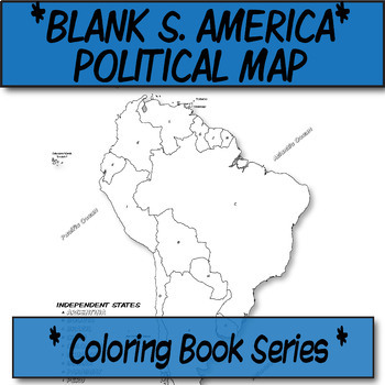
*Coloring Book Page* South America Political Map
**Geography Coloring Book Series**This blank political map is ready for students to color. Each independent country is labeled with a letter than corresponds to its name (which they can also color-code).These are particularly great for AP Human Geography, any geography course, or global studies course.The format is .PNG to allow for you to paste and stretch in Word. I've found that .3'' margins (all sides) is the farthest most standard printers will allow. Set these in your Word page setup befor
Grades:
Not Grade Specific
Also included in: *Coloring Book Pages* TEN Political Maps **Coloring Book Series**
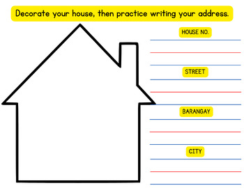
I know my address. (where I live)
Fun and easy way for kids to remember their home address! With colorful visuals and simple prompts, this handy file ensures your child knows where they live, giving you peace of mind and them a vital life skill. Get yours today and empower your child with confidence and safety.
Grades:
PreK - 1st
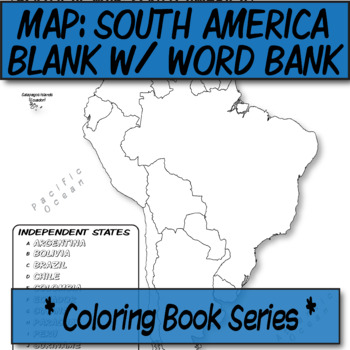
WORD BANK South America Political Map **Coloring Book Series**
**Geography Coloring Book Series****History Coloring Book Series**This blank political map with word bank is ready for students to label. Each independent state is left blank with a corresponding word bank for assistance.These are particularly great for AP Human Geography, AP US History, Spanish, Latin, or any other social science course/humanity.The format is .PNG to allow for you to paste and stretch in Word. I've found that .3'' margins (all sides) is the farthest most standard printers will
Grades:
Not Grade Specific
Types:
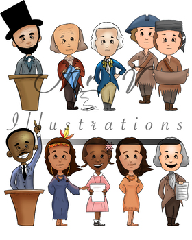
Historical Figures (Color)
These are clipart images of some notable women figures from history. The images include colored versions of each character. These characters include; Abe Lincoln, Ben franklin, George Washington, Lewis and Clark, Martin Luther King Jr., Sacagawea, Ruby Bridges, Pocahontas, and Thomas Jefferson. They are all high resolution PNG's and are great for making worksheets. * For each image - Approximately 9 inches- 300 DPI for scaling- PNG images with extremely tight clipping so they can fit anywhere
Grades:
Not Grade Specific
Types:
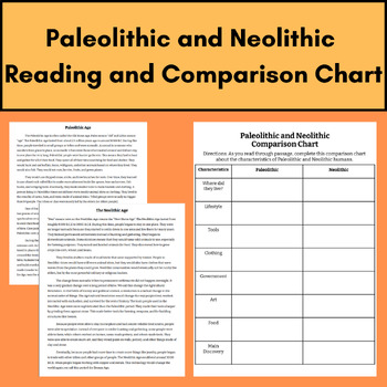
Paleolithic and Neolithic Reading and Comparison Chart
This activity is a simple and easy way for students to understand the differences in the Paleolithic and Neolithic periods! Simply have students read the passage and fill in the chart! This can used in a variety of ways- individually, groups, or whole group.
Grades:
6th - 8th
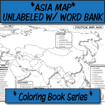
Asia Political Map (Unlabeled with Word Bank) **Coloring Book Series**
**Geography Coloring Book Series****History Coloring Book Series**This political map is ready for students to color or use for reference. Each independent state is left blank for students to label with the help of a word bank.These are particularly great for AP US History, AP Human Geography, or any other geography, Spanish, history course, or social science course.The format is .PNG to allow for you to paste and stretch in Word. I've found that .3'' margins (all sides) is the farthest most sta
Grades:
Not Grade Specific
Types:
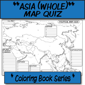
QUIZ Asia Political Map **Coloring Book Series**
**MAP QUIZ SERIES**This blank political quiz is ready for students to label. Each independent country is labeled with a letter than corresponds to a blank space to write the correct name.The format is .PNG to allow for you to paste and stretch in Word. I've found that .3'' margins (all sides) is the farthest most standard printers will allow. Set these in your Word page setup before printing your doc.This item was created using open-source maps, Adobe Illustrator, and Autodesk Sketchbook by the
Grades:
Not Grade Specific
Types:
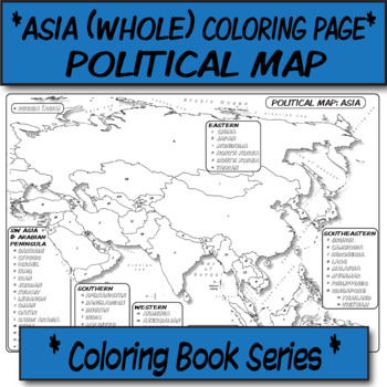
*Coloring Book Page* Asia Political Map
**Geography Coloring Book Series**This blank political map is ready for students to color. Each independent country is labeled with a letter than corresponds to its name (which they can also color-code).The format is .PNG to allow for you to paste and stretch in Word. I've found that .3'' margins (all sides) is the farthest most standard printers will allow. Set these in your Word page setup before printing your doc.You can print this on a poster printer for a small group activity, use in lectur
Grades:
Not Grade Specific
Types:
Also included in: *Coloring Book Pages* TEN Political Maps **Coloring Book Series**
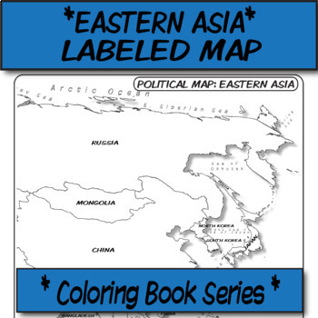
Eastern Asia Political Map (Labeled) **Coloring Book Series**
**Geography Coloring Book Series****History Coloring Book Series**This political map is ready for students to color or use for reference. Each independent state comes pre-labeled.These are particularly great for AP US History, AP Human Geography, or any other geography, Spanish, history course, or social science course.The format is .PNG to allow for you to paste and stretch in Word. I've found that .3'' margins (all sides) is the farthest most standard printers will allow. Set these in your Wo
Grades:
Not Grade Specific
Types:
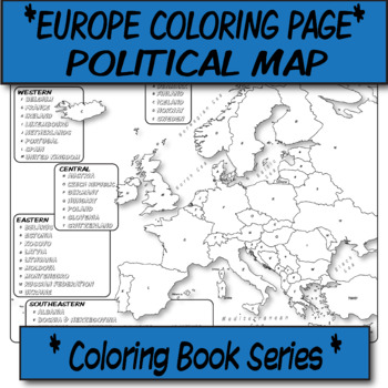
*Coloring Book Page* Europe Political Map
**Geography Coloring Book Series**This blank political map is ready for students to color. Each independent country is labeled with a letter than corresponds to its name (which they can also color-code).These are particularly great for AP Human Geography, any geography course, or global studies course.The format is .PNG to allow for you to paste and stretch in Word. I've found that .3'' margins (all sides) is the farthest most standard printers will allow. Set these in your Word page setup befor
Grades:
Not Grade Specific
Also included in: *Coloring Book Pages* TEN Political Maps **Coloring Book Series**
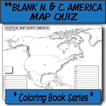
QUIZ North & Central America Political Map **Coloring Book Series**
**MAP QUIZ SERIES**This blank political quiz is ready for students to label. Each independent country is labeled with a letter than corresponds to a blank space to write the correct name.The format is .PNG to allow for you to paste and stretch in Word. I've found that .3'' margins (all sides) is the farthest most standard printers will allow. Set these in your Word page setup before printing your doc.This item was created using open-source maps, Adobe Illustrator, and Autodesk Sketchbook by the
Grades:
Not Grade Specific
Types:
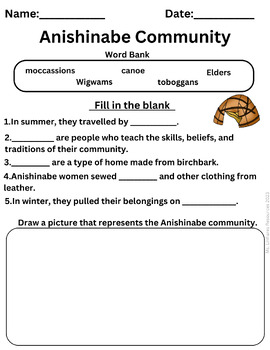
Anishinabe Community Worksheet
Simplify your lesson planning with this ready-to-use resource that aligns seamlessly with your curriculum. Spark meaningful discussions and inspire a love for learning with my Anishinabe Community worksheet.Fill in the Blank Sentences: My worksheet provides a unique learning experience by offering carefully curated fill-in-the-blank sentences. Encourage creativity and self-expression with an engaging drawing section that accompanies the worksheet. _____________________________________________Cop
Grades:
2nd - 4th
Types:
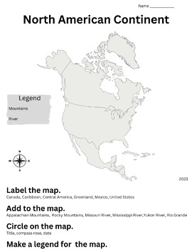
North America Map Activity
A worksheet to help with California 2nd grade Social Studies Standard 2.2-Label from memory a simple map of the North American continent, including the countries, oceans, Great Lakes, major rivers, and mountain ranges. Identify the essential map elements: title, legend, directional indicator, scale, and date.#CAstandards#socialstudiesstandards#2ndgradenorthamerica
Grades:
1st - 3rd
Types:
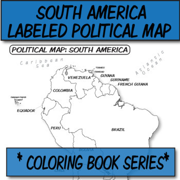
South America Political Map (Labeled) **Coloring Book Series**
**Geography Coloring Book Series****History Coloring Book Series**This political map is ready for students to color or use for reference. Each independent state comes pre-labeled.These are particularly great for AP US History, AP Human Geography, or any other geography, Spanish, history course, or social science course.The format is .PNG to allow for you to paste and stretch in Word. I've found that .3'' margins (all sides) is the farthest most standard printers will allow. Set these in your Wo
Grades:
Not Grade Specific
Types:
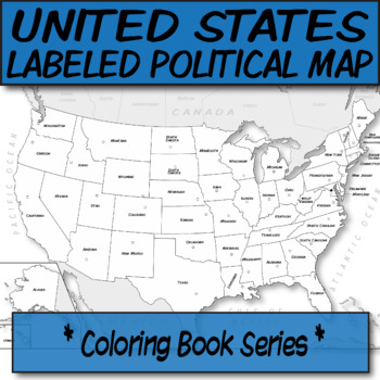
United States Political Map (Labeled) Capitals (Unlist) **Coloring Book Series**
**Geography Coloring Book Series****History Coloring Book Series**This political map is ready for students to color or use for reference. Each independent state is labeled with its capital designated (not labeled).These are particularly great for AP US History, AP Human Geography, or any other geography and history course, or social science course..The format is .PNG to allow for you to paste and stretch in Word. I've found that .3'' margins (all sides) is the farthest most standard printers wi
Grades:
Not Grade Specific
Types:
Showing 1-24 of 92 results


