TPT
Total:
$0.00

7 Continents Geography Unit BUNDLE for Upper Elementary

Rated 4.79 out of 5, based on 74 reviews
4.8 (74 ratings)
;
Fifth in the Forest
1.5k Followers
Grade Levels
3rd - 6th
Standards
Formats Included
  • Zip
  • Google Appsâ„¢
Pages
109 pages
$12.00
List Price:
$13.00
You Save:
$1.00
Bundle
$12.00
List Price:
$13.00
You Save:
$1.00
Bundle
Share this resource
Report this resource to TPT
Fifth in the Forest
1.5k Followers
Includes Google Appsâ„¢
This bundle contains one or more resources with Google apps (e.g. docs, slides, etc.).

What educators are saying

The continents (geography in general) are severely lacking in our social studies curriculum. This was a great supplement.

Products in this Bundle (2)

    Bonus

    7 Continents Lesson Plans

    Description

    This geography unit is both fun and meaningful for the end of the year! Introduce your students to new cultures with the discussion guide, recording packet, suggested crafts, AND teacher lesson plans.

    Update April 2021: This product has a brand new look AND is now compatible with Google Slides!

    Your download gets you:

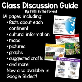
    1. A 64-page discussion guide in PPT and Google Slides format. The 7 lessons introduce each of the continents with facts, colorful pictures, graphs, and maps.

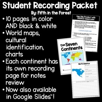
    2. A 10-page student recording packet in PDF or Google Slides. This is available in color and b/w.

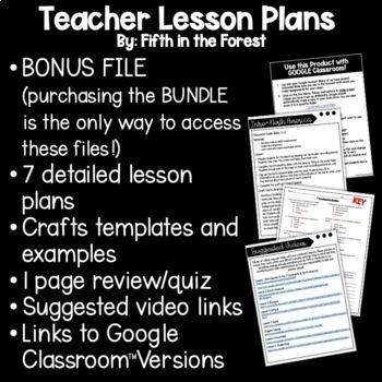
    BONUS: Detailed teacher lesson plans with a craft guide, suggested videos, and assessment. Purchasing the BUNDLE is the only way to receive these files!

    Like what you see? Check out other versions of this product below!

    Seven Continents Geography Discussion Guide

    Seven Continents Geography Unit Student Guide

    Total Pages
    109 pages
    Answer Key
    N/A
    Teaching Duration
    N/A
    Report this resource to TPT
    Reported resources will be reviewed by our team. Report this resource to let us know if this resource violates TPT’s content guidelines.

    Standards

    to see state-specific standards (only available in the US).
    Integrate visual information (e.g., in charts, graphs, photographs, videos, or maps) with other information in print and digital texts.

    Reviews

    Questions & Answers

    1.5k Followers