173 results
9th grade geography interactive whiteboards
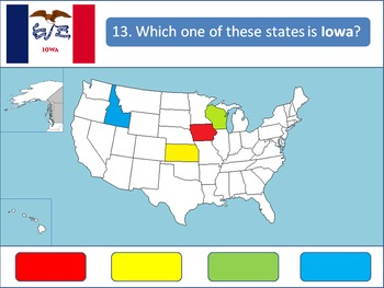
Powerpoint Game: United States Geography
A 50-question, interactive quiz to test your students' knowledge on the fifty states of the United States of America. Simply click on the corresponding color to make your guess! Each of the state's respective flags are shown for additional learning about the USA.This product is designed specifically to be engaging for your students. Your students will love the fun sound effects and the opportunity to get up and walk around in order to tap the on-screen buttons.This product is best used with a Pr
Grades:
4th - 12th, Higher Education
Livin’ La Vida Latina – Fun Facts about Spain Presentation in English
This 45 slide Spain Fun Facts Power Point in English is perfect for incorporating culture into your daily lessons. This best seller Spain presentation can be used as a virtual field trip, as daily warm-up activities or as a complete Spain unit. All of the Livin' La Vida Fun Facts presentations inspire students to make cultural comparisons and to think about dispelling cultural stereotypes. Use this presentation all at once to focus on Spain in a few mini lessons or for one complete Spain unit
Subjects:
Grades:
7th - 12th
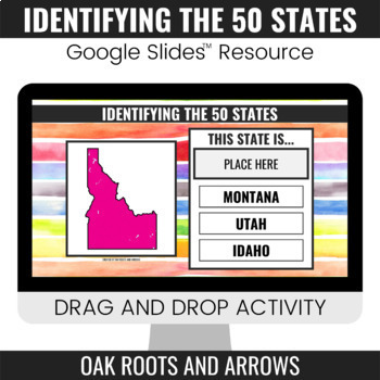
Identifying the 50 States : Google Slides™ Drag and Drop Activity
This product is a Google Slides™ resource. Students will drag and drop the correct state name to the box that says, "PLACE HERE." Each slide displays a different state and three options for students to choose from.You can assign this resource as an assignment to your students in your Google Classroom™. Students will complete the drag and drop activity and then turn it in through Google Classroom™. You will receive a ZIP file that includes a PDF file. There is a clickable link to the Google Slide
Grades:
3rd - 12th
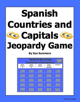
Spanish Speaking Countries and Capitals Jeopardy Game
Students practice Spanish speaking countries and capitals in a fun way! This PowerPoint Jeopardy game contains all 20 official Spanish speaking countries, plus countries and territories where Spanish is still widely spoken, or where there has been significant Spanish influence in the past. They include Puerto Rico, Andorra, Guam, Philippines, and Gibraltar. The 5 categories are North America A, North America B, South America, South America and Africa, and Potpourri. Students click a number u
Subjects:
Grades:
4th - 10th
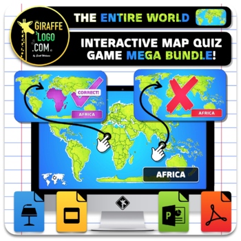
Entire World Interactive World Geography Game & Map Quiz ~ MEGA BUNDLE!
The Entire World Interactive Map Quiz Game MEGA BUNDLE is the absolute coolest way to learn Geography both in and out of the classroom! No Prep required, simple and easy to use, just open up the Interactive Map Quiz Game in one of the x4 included Formats (PowerPoint / Google Slides / Keynote / PDF) and let the learning begin! Each Map Quiz includes x846 slides for ALL x276 Countries + Regions in The Entire World! Maps are engagingly themed to spark students interest, work great for fun class wid
Grades:
4th - 10th
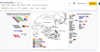
Interactive Imperialism in Asia Mapping Activity
This would work awesome on an interactive whiteboard, or has been made to adapting to this hybrid virtual teaching world. Students can label a map showing the different colonies in Asia during the Age of Imperialism 10.4.
Subjects:
Grades:
7th - 11th
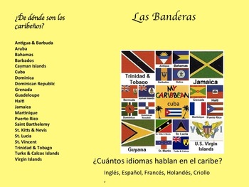
La Música Afro-Caribeña y La Historia de Su Evolución
Descripción:
En esta unidad los estudiantes van a aprender de la geografía, la historia, y la música de Cuba, La República Dominicana, y Puerto Rico. Van a escuchar ejemplos de música de los tres países para tener un mejor entendimiento de la presencia africana adentro de la cultura Caribeña. Primero tendrán una introducción a la geografía y historia del caribe. Luego, van a enterarse como la música cuenta la historia de la gente y la vida cotidiana. También buscarán como la música ayud
Subjects:
Grades:
7th - 10th
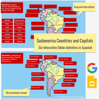
South American Countries & Capitals in SPANISH - drag-drop, labeling activities
This Spanish language Slides activity focuses on the countries and capitals in South America. The post actually contains six assignments all-in-one. Slide #1 is a drag-and-drop with countries, Slide #2 is country labeling with clickable text boxes and a word bank,Slide #3 is country labeling without the text box,Slide #4 is a drag-and-drop with capitals,Slide #5 is capital labeling with a word bank and clickable text boxes, and Slide #6 is capital labeling without a word bank. Please feel free t
Subjects:
Grades:
3rd - 12th
Types:
AP Human Geography Unit 1 Interactive Lecture
This student-reviewed presentation is lecture-based and it is an interactive way for students to obtain the necessary information to score highly on the AP Human Geography test.
Subjects:
Grades:
9th - 12th, Staff
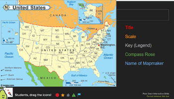
Map & Chart Analysis Skills - Pear Deck
Used as a daily warm-up activity in my class, but could be an assignment for skill based learning. This is used through Pear Deck, but most questions can be answered on paper if that is your preference.Topics Covered: Map Requirements, Longitude/Latitude, Themes of Geography, Map & Data analysis (charts and maps are through "Our World In Data")43 slides in total - 60+ questions.
Grades:
7th - 10th
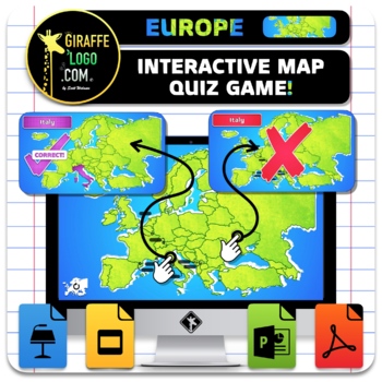
Europe Interactive World Geography Game & Map Quiz
The Europe Interactive Map Quiz Game is the absolute coolest way to learn Geography both in and out of the classroom! No Prep required, simple and easy to use, just open up the Interactive Map Quiz Game in one of the x4 included Formats (PowerPoint / Google Slides / Keynote / PDF) and let the learning begin! Each Map Quiz includes x134 slides for ALL x44 countries in Europe! Maps are engagingly themed to spark students interest, work great for fun class wide review games or individual practice o
Grades:
4th - 10th
Also included in: Entire World Interactive World Geography Game & Map Quiz ~ MEGA BUNDLE!
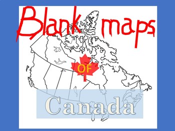
Blank Maps of Canada
PDF files in landscape and portrait.Versatile and useful in numerous waysIncludes maps with and without provinces labeledYou may also like:New French Regions maps of FranceBlank maps of Mexico
Subjects:
Grades:
3rd - 11th
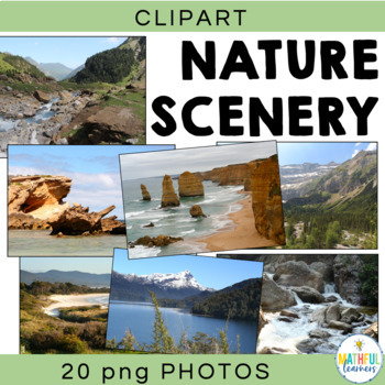
Background Digital Photos Natural Scenery
Are you looking for some beautiful photos to use in your Powerpoint Presentations and Smart Board activities? Then these pictures are perfect for you. You will not be disappointed with these 20 high quality (high resolution) photographs of mountains, the beach, rivers, rocks, hills and snow covered peaks. These photos were taken by an experienced photographer with extreme attention to detail. Each photograph is picture perfect!Locations include:• 12 Apostles, Victoria, Australia• country Victori
Grades:
4th - 12th, Adult Education
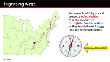
Virginia Studies SOL VS.6 abc Presentation
This Google Slide presentation covers all of VS.6 abc - great visuals, essential questions and links to videos that create strong comprehension of Political Growth and Westward Expansion (1781-mid 1800's).
Grades:
2nd - 9th
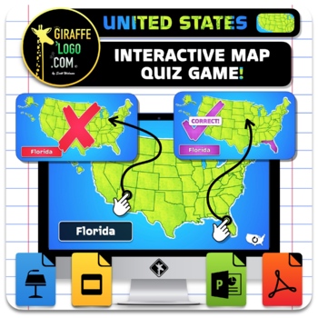
USA Interactive World Geography Game & Map Quiz
The United States of America Interactive Map Quiz Game is the absolute coolest way to learn Geography both in and out of the classroom! No Prep required, simple and easy to use, just open up the Interactive Map Quiz Game in one of the x4 included Formats (PowerPoint / Google Slides / Keynote / PDF) and let the learning begin! Each Map Quiz includes x152 slides for ALL x50 States in The USA! Maps are engagingly themed to spark students interest, work great for fun class wide review games or indiv
Grades:
4th - 10th
Also included in: Entire World Interactive World Geography Game & Map Quiz ~ MEGA BUNDLE!
Ancient Egypt Achievements and Inventions
This is a whole class lesson, or if your students are familiar with the Frayer Models (printed out) then they could do this in small groups. They have the inventions or achievements of ancient Egypt and Frayer Models to go with each one. This is a great way to introduce new ideas and information and get the students talking about the new topics.
Grades:
5th - 9th
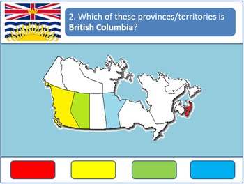
Powerpoint Game: Canadian Geography
A 13-question quiz to test your students' knowledge on the provinces and territories of Canada. Simply click on the corresponding colors to make your guess! Each question also includes each province's respective flag for added learning. A fun activity for all age groups.
This product is designed specifically to be engaging for your students. Your students will love the fun sound effects and the opportunity to get up and walk around in order to tap the on-screen buttons.
This product is best us
Grades:
4th - 12th, Higher Education
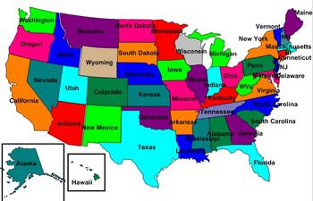
United States Labeling Puzzle Map
This is a map of the United States for students to label. Teachers can scramble up the puzzle and students put it back together. This is a great activity to get students up out of their seats and do a hands-on activity with technology
Subjects:
Grades:
6th - 10th
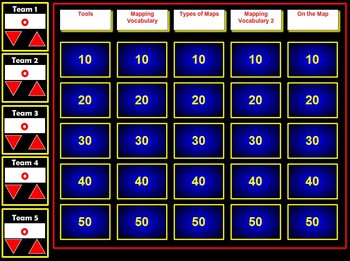
Map Skills Flash Jeopardy Review Game
This Flash Jeopardy Game reviews 25 map skills terms. The game itself is highly interactive and would make a great review on an LCD Projector with or without a SmartBoard.The game will automatically keep score for up to 5 teams.Terms included in the review include:globemapscompassmap keylegendcardinal directionsintermediate directionsscaleatlassymbolspolitical mapphysical mapelevation maphistorical mapdistribution maplongitudelatitudeEquatorPrime MeridianPolesAnd more!
Subjects:
Grades:
4th - 12th
Types:
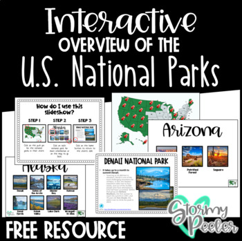
U.S. National Parks - Interactive Slideshow
An interactive slideshow about the United States National Parks which includes pictures and an interesting fact about each.
Subjects:
Grades:
K - 12th
Google form Video and Text in Spanish about Bananas / Exports / Types of Bananas
This is a 2 part lesson google form. It will take 45+ minutes. You could easily "chop" this google form into 2 (File --> Make a copy; then delete 1 half)The first part goes with a 7min Youtube video. The link is in the google form. The second part goes with a google slide lesson I made and posted in my shop titled "La comida Spanish Lesson about different types of Bananas"This is a super fun lesson for the end of the year when the students are having a hard time focusing. I do bring in BANANA
Subjects:
Grades:
5th - 12th, Higher Education, Adult Education
Also included in: BUNDLE Spanish Lesson Video Google Form Google slides BANANAS
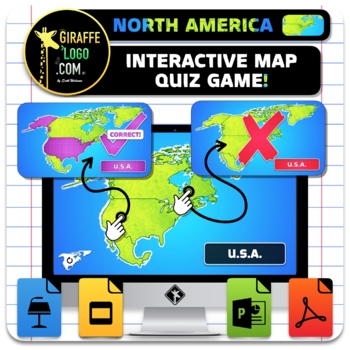
North America Interactive World Geography Game & Map Quiz ~ FREEBIE!
The North America Interactive Map Quiz Game is the absolute coolest way to learn Geography both in and out of the classroom! No Prep required, simple and easy to use, just open up document and let the learning begin! Each Map Quiz includes x14 slides for all x4 countries + regions in North America! Maps are engagingly themed to spark students interest, work great for fun class wide review games or individual practice of geography skills, is perfect for in person or online learning, and can even
Grades:
4th - 10th
Also included in: Entire World Interactive World Geography Game & Map Quiz ~ MEGA BUNDLE!
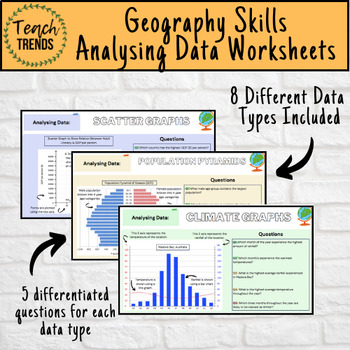
Geography Data Analysis Skills Work Booklet / Activities
Enhance your pupils’ geographical skills with a series of interpretation and analysis sheets and questions. This resource includes 8 PDF slides with corresponding questions all focused on a different data presentation method. Ideal for preparing your pupils for exams and revising analysis skills. The high quality slides include annotations, examples and five scaled-ability questions.The data presentation skills included in this resource are:Climate GraphsPopulation PyramidsChoropleth MapsScatter
Subjects:
Grades:
8th - 12th, Adult Education
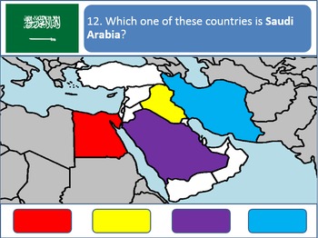
Powerpoint Game: Middle Eastern Geography
A simple, fun, interactive quiz to test your students' knowledge on the geography of the Middle East. Simply click on the corresponding color to make your guess! Each country's respective flags are shown for additional learning.
This product is best used with a Promethean/Smartboard.
Subjects:
Grades:
4th - 12th, Higher Education
Showing 1-24 of 173 results


