98 results
12th grade geography interactive whiteboards
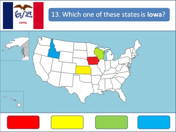
Powerpoint Game: United States Geography
A 50-question, interactive quiz to test your students' knowledge on the fifty states of the United States of America. Simply click on the corresponding color to make your guess! Each of the state's respective flags are shown for additional learning about the USA.This product is designed specifically to be engaging for your students. Your students will love the fun sound effects and the opportunity to get up and walk around in order to tap the on-screen buttons.This product is best used with a Pr
Grades:
4th - 12th, Higher Education
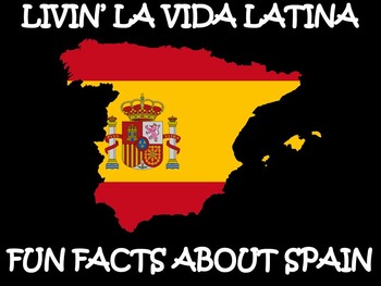
Livin’ La Vida Latina – Fun Facts about Spain Presentation in English
This 45 slide Spain Fun Facts Power Point in English is perfect for incorporating culture into your daily lessons. This best seller Spain presentation can be used as a virtual field trip, as daily warm-up activities or as a complete Spain unit. All of the Livin' La Vida Fun Facts presentations inspire students to make cultural comparisons and to think about dispelling cultural stereotypes. Use this presentation all at once to focus on Spain in a few mini lessons or for one complete Spain unit
Subjects:
Grades:
7th - 12th
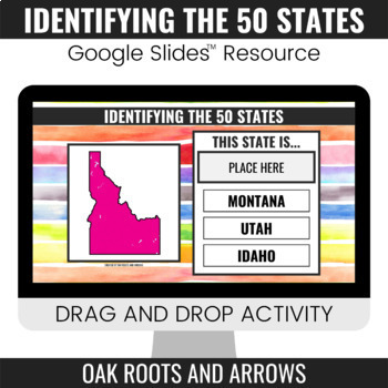
Identifying the 50 States : Google Slides™ Drag and Drop Activity
This product is a Google Slides™ resource. Students will drag and drop the correct state name to the box that says, "PLACE HERE." Each slide displays a different state and three options for students to choose from.You can assign this resource as an assignment to your students in your Google Classroom™. Students will complete the drag and drop activity and then turn it in through Google Classroom™. You will receive a ZIP file that includes a PDF file. There is a clickable link to the Google Slide
Grades:
3rd - 12th
AP Human Geography Unit 1 Interactive Lecture
This student-reviewed presentation is lecture-based and it is an interactive way for students to obtain the necessary information to score highly on the AP Human Geography test.
Subjects:
Grades:
9th - 12th, Staff
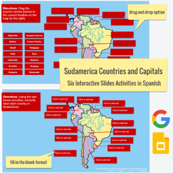
South American Countries & Capitals in SPANISH - drag-drop, labeling activities
This Spanish language Slides activity focuses on the countries and capitals in South America. The post actually contains six assignments all-in-one. Slide #1 is a drag-and-drop with countries, Slide #2 is country labeling with clickable text boxes and a word bank,Slide #3 is country labeling without the text box,Slide #4 is a drag-and-drop with capitals,Slide #5 is capital labeling with a word bank and clickable text boxes, and Slide #6 is capital labeling without a word bank. Please feel free t
Subjects:
Grades:
3rd - 12th
Types:
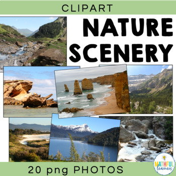
Background Digital Photos Natural Scenery
Are you looking for some beautiful photos to use in your Powerpoint Presentations and Smart Board activities? Then these pictures are perfect for you. You will not be disappointed with these 20 high quality (high resolution) photographs of mountains, the beach, rivers, rocks, hills and snow covered peaks. These photos were taken by an experienced photographer with extreme attention to detail. Each photograph is picture perfect!Locations include:• 12 Apostles, Victoria, Australia• country Victori
Grades:
4th - 12th, Adult Education
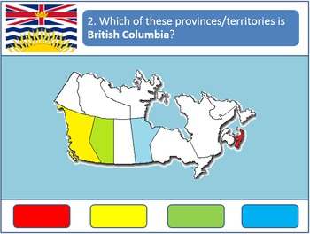
Powerpoint Game: Canadian Geography
A 13-question quiz to test your students' knowledge on the provinces and territories of Canada. Simply click on the corresponding colors to make your guess! Each question also includes each province's respective flag for added learning. A fun activity for all age groups.
This product is designed specifically to be engaging for your students. Your students will love the fun sound effects and the opportunity to get up and walk around in order to tap the on-screen buttons.
This product is best us
Grades:
4th - 12th, Higher Education
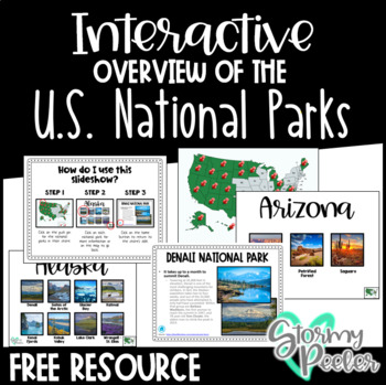
U.S. National Parks - Interactive Slideshow
An interactive slideshow about the United States National Parks which includes pictures and an interesting fact about each.
Subjects:
Grades:
K - 12th
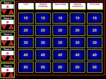
Map Skills Flash Jeopardy Review Game
This Flash Jeopardy Game reviews 25 map skills terms. The game itself is highly interactive and would make a great review on an LCD Projector with or without a SmartBoard.The game will automatically keep score for up to 5 teams.Terms included in the review include:globemapscompassmap keylegendcardinal directionsintermediate directionsscaleatlassymbolspolitical mapphysical mapelevation maphistorical mapdistribution maplongitudelatitudeEquatorPrime MeridianPolesAnd more!
Subjects:
Grades:
4th - 12th
Types:
Google form Video and Text in Spanish about Bananas / Exports / Types of Bananas
This is a 2 part lesson google form. It will take 45+ minutes. You could easily "chop" this google form into 2 (File --> Make a copy; then delete 1 half)The first part goes with a 7min Youtube video. The link is in the google form. The second part goes with a google slide lesson I made and posted in my shop titled "La comida Spanish Lesson about different types of Bananas"This is a super fun lesson for the end of the year when the students are having a hard time focusing. I do bring in BANANA
Subjects:
Grades:
5th - 12th, Higher Education, Adult Education
Also included in: BUNDLE Spanish Lesson Video Google Form Google slides BANANAS
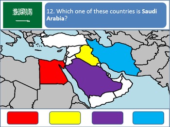
Powerpoint Game: Middle Eastern Geography
A simple, fun, interactive quiz to test your students' knowledge on the geography of the Middle East. Simply click on the corresponding color to make your guess! Each country's respective flags are shown for additional learning.
This product is best used with a Promethean/Smartboard.
Subjects:
Grades:
4th - 12th, Higher Education
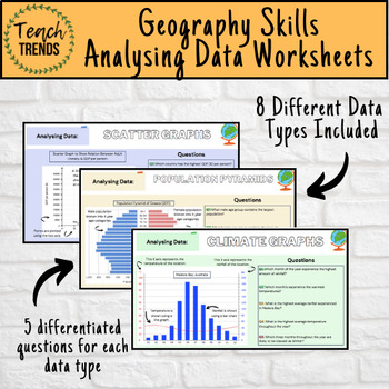
Geography Data Analysis Skills Work Booklet / Activities
Enhance your pupils’ geographical skills with a series of interpretation and analysis sheets and questions. This resource includes 8 PDF slides with corresponding questions all focused on a different data presentation method. Ideal for preparing your pupils for exams and revising analysis skills. The high quality slides include annotations, examples and five scaled-ability questions.The data presentation skills included in this resource are:Climate GraphsPopulation PyramidsChoropleth MapsScatter
Subjects:
Grades:
8th - 12th, Adult Education
"Travel the World FOR FREE!" Intermediate to Advanced ESL lesson (B1-C1 level)
Are you an ESL teacher looking for an engaging and practical lesson on traveling and transportation for intermediate to advanced English learners (CEFR B1 to C1)? Look no further! Our lesson is perfect for adult learners and can also be adapted for older kids and teens.In addition to a fun and informative video from YouTube and its script, our lesson encourages students to learn new travel vocabulary and use it to create an adventure map for other students to solve. With minimal prep required (j
Subjects:
Grades:
5th - 12th, Higher Education, Adult Education
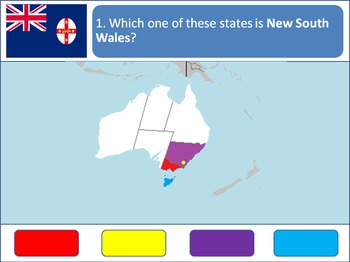
Powerpoint Game: Australian Geography
An 8-Question Quiz to test your students' knowledge on the geography of Australia. Simply click on the corresponding color to make your guess! Each of the state's respective flags are shown for additional learning.
This product is designed specifically to be accommodating and engaging for your students. Your students will love the fun sound effects and the opportunity to get up and walk around in order to tap the on-screen buttons. It is also designed to accommodate students with red/green colo
Grades:
4th - 12th, Higher Education
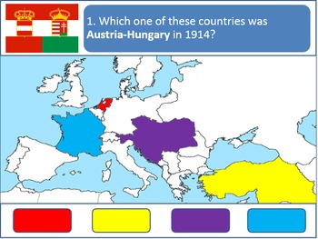
Powerpoint Game: 1914 European Geography (WWI)
A simple, fun, interactive quiz to test your students' knowledge on the geography of Europe in 1914, the eve of World War One. Simply click on the corresponding color to make your guess! This quiz contains questions about every European belligerent of WW1. Each country's respective flags are shown for additional learning about the First World War.
This product is best used with a Promethean/Smartboard.
Subjects:
Grades:
1st - 12th, Higher Education, Adult Education
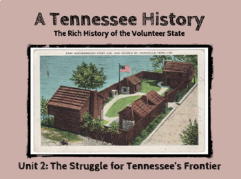
TN History Unit 2: Struggle for Tennessee's Frontier Powerpoint Slideshow
This is the Tennessee History Unit 2 Powerpoint for the Notes Packet (Version 1) covering the long hunters, Overmountain Men, and the first frontiersmen i.e. William Bean, Thomas Sharpe Spencer, Dr. Thomas Walker, Daniel Boone, James Robertson, John Donelson, Richard Henderson, William Blount, John Sevier, etc. It covers Tennessee's Native friends and foes, i.e. Little Carpenter, Dragging Canoe, and Nancy Ward as well as the French and Indian War, Fort Loudoun Massacre, Battle of Kings Mountain,
Grades:
5th - 12th
April is Arab-American History Month!
Celebrate the achievements of history-making Arab-Americans with daily biographical profiles, videos and reading passages. This presentation is perfect for enhancing diversity and inclusion lessons, for morning meetings, daily lesson openers, entrance / exit tickets, and project introductions.
Subjects:
Grades:
PreK - 12th
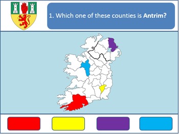
Powerpoint Game: Irish Geography
A 32-question, interactive quiz to test your students' knowledge on the geography of the thirty-two counties that make up both the Republic of Ireland and Northern Ireland (United Kingdom). Simply click on the corresponding color to make your guess! Each county's respective coat of arms is shown for additional learning about the various Irish counties.
This product is best used with a Promethean/Smartboard.
Subjects:
Grades:
1st - 12th, Higher Education, Adult Education

China: Urbanization Webquest
China: Urbanization WebquestThis webquest uses a very student friendly website that covers China shift from an agricultural country of the 1950s to an urban global power by the 2000s. The impact of the Great Leap Forward and Cultural Revolution are covered. Please check out the website by clicking on the link below:Click here to view the website.IMPORTANT: Please check this BBC Website on your school computer, a small amount of schools block archived websites.The webquest contains 18 questions a
Subjects:
Grades:
5th - 12th

Capital cities – ESL, EFL, ELL adults and kids conversation
This is a PowerPoint lesson in editable PPT format with an activity and a worksheet. This is a lesson which I use at the end or the beginning of a school year, on a return from a holiday or on a rainy day. It’s also a great one on one lesson (for private tutoring). learning interesting facts about capital cities can accompany many units and be used at different ages and ability levels.It’s a NO PREP fun lesson that needs no work on the teacher’s part. This lesson includes: ♚ How are capitals cho
Subjects:
Grades:
7th - 12th, Adult Education
Also included in: Pro and Post Vacation Bundle - ESL adult conversation PowerPoint lessons
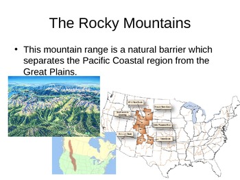
Geography: Physical Geography of the US Presentation/notes
This is a power point presentation which can be used on the smart board, printed out for student handouts, or even used on an overhead projector. It has pictures and notations about the physical features of the United States which is great for US history or US lessons
Grades:
7th - 12th
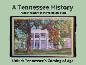
TN History Unit 4: Tennessee's Coming of Age Powerpoint Slideshow
This is the Tennessee History Unit 4 Powerpoint covering the founding of Nashville, the transfer of the capital, early abolitionist efforts (Elihu Embree, Virginia Hill, and Fanny Wright), the War of 1812, Tecumseh's War, Creek War, Horseshoe Bend, Treaty of Fort Jackson, Jackson Purchase, the founding of Memphis as the "Cotton Capital of the South," as well as other important relevant state history information.©Founding Fathers USA. All rights reserved by Founding Fathers USA. This product is t
Grades:
5th - 12th
Mystery Skype Packet
Students will be learning and they won't even know it! Mystery Skype is a fun lesson in which students in one class will pick a "secret location" anywhere in the world, and Skype another class who has done the same. Students will use their knowledge of geography to formulate "yes" or "no" questions and get themselves closer to pinning the other class's location. As easy as it may sound, Mystery Skype is a long process that takes a team of hard-working students who each have a specific job. So
Subjects:
Grades:
2nd - 12th
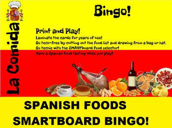
Spanish Food SMARTboard Bingo and SMARTboard Food Selector; Spain, Culinary
Spanish Foods Bingo and/or Famous Dishes Identification!
Practice reading, identifying foods, spelling, vocabulary, or just play for fun!
Included:
20 Different Bingo cards with 32 different Spanish dishes.
A low-tech food list to cut out and draw from a hat.
A SMARTboard food selector to bring in the technology; have students identify the dishes while you play bingo.
Try having a Spanish food tasting while you play!
French Food Bingo found here:
https://www.teacherspayteachers.com/Product
Subjects:
Grades:
7th - 12th, Higher Education, Adult Education
Showing 1-24 of 98 results


