111 results
Free 7th grade geography bulletin board ideas
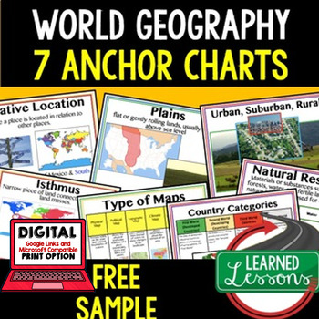
Geography Anchor Charts Sampler Free, World Geography Posters
Geography Free Anchor Charts (Great as Bellringers, Word Walls, and Concept Boards)(Great as Bellringers, Word Walls, and Concept Boards), Mapping Skills Posters, Geography Review Pages, Digital Activity via Google Classroom This bundle will take your through the entire Geography curriculum. It will include all components of Geography. This is perfect for traveling around the world in style. Sign up for email updates and follow me on TPT for updates.Anchor charts are great for representing
Grades:
6th - 12th
Types:
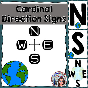
Cardinal Directions Geography Signs Blue
Hang cardinal direction and compass rose signs in your classroom to visually help your students with mapping concepts.
Product includes:
• North
• South
• East
• West
• Compass Rose with North, South, East, and West
• Compass Rose with N, S, E, and W
You might also be interested in:
The United States and Capitals Geography Review Activities and Assessment BundleThe United States and Capitals Geography Northeast Region Freebie SampleThe United States and Capitals Geography Review Activities
Subjects:
Grades:
K - 12th
Types:
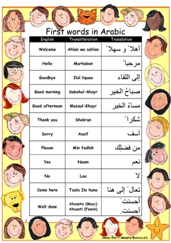
First words and numbers in Arabic ~ Great classroom posters
A selection of basic words and phrases to help you make children with a Arabic speaking heritage feel welcome in your class, or to help support topic work on different Middle Eastern countries.
If you find these useful please leave a review ~ thanks! For other free assessment, language and Islamic resources please check my website, www.the-treasure-box.co.uk
Note: This poster is now in full colour following many requests and the spelling mistakes have been corrected ~ a huge thank you to TES
Subjects:
Grades:
3rd - 12th, Staff
Types:
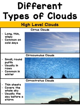
Types of Clouds Poster
Printable poster perfect for aspiring meteorologists! Print, assemble, and post on near your windows to help students identify (and characterize) the different types of clouds in our sky. I'd recommend printing it out on card stock paper with laminating for extra durability! The full size poster measures about 30" in length, but it can be made smaller by adjusting the printing size on your printer options. Works well as a personal cloud chart when printed 2 pages per sheet, then assembled in the
Subjects:
Grades:
PreK - 8th
Types:
NGSS:
K-ESS2-1
, 3-ESS2-1
, K-ESS3-2
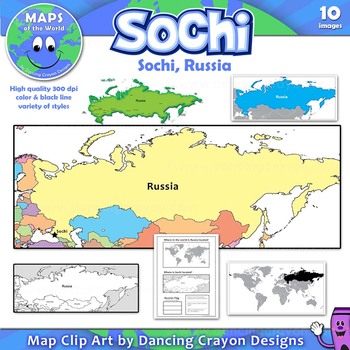
Maps of Sochi / Russia: Clip Art Map Set
Free clip art maps of Sochi and Russia.
Map Collection: Sochi, Russia
Do your students know where Sochi is?
With the 2014 Winter Olympics soon to begin, here’s an opportunity to teach your students more about the city of Sochi and its location in Russia. The set includes a bonus student worksheet.
This clipart map set contains the following commercial use graphics:
- Color maps of Russia showing the location of Sochi
- Black and white line art maps of Russia
- Map of the world with Russia
Grades:
3rd - 12th
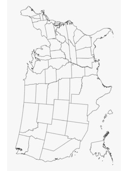
3 blank maps, printable maps of U.S.A. and North America
Blank map poster of the U.S.A. and 50 statesMap of North America with major citiesBlank map poster of 13 colonies for proclamation of 1763 Print and Laminate Maps for reusable map work in your social studies classroom
Grades:
5th - 12th
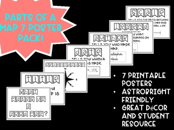
Free! Parts of a Map Posters
These posters are a great resource for any grade level when learning about maps. These maps use the acronym "TODALS" as a quick way to remember the parts of a map: Title, Orientation, Date, Author, Legend, and Scale. These posters are AstroBright friendly and really brighten up a room!
Grades:
K - 12th
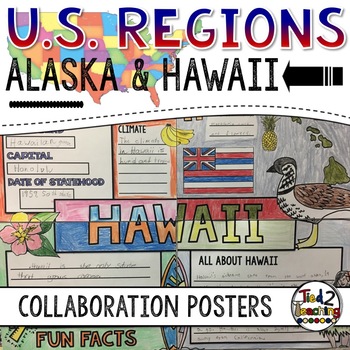
U.S. Regions - Alaska and Hawaii Collaborative Posters
This Regions of the United States Research Collaborative Poster activity lets students work together to display their learning about Alaska and Hawaii Collaborative research poster activities are so much fun because they combine group work, with creativity, color and so much fun!
This collaborative U.S. regions social studies project includes 2 state collaborative research poster activities that can be displayed separately or placed together to form a large collaborative poster mural.
Prin
Grades:
3rd - 7th
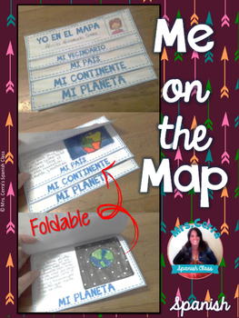
Me on the map foldable {SPANISH} -Yo en el mapa-
This foldable is a great and fun way for review geography. Includes 3 different continent option (North America, Europe and Australia)
Spanish Only!
TERMS OF USE
This product is NOT to be sold AS IS! Purchasing the item does not transfer the copyright to you. It means you cannot claim the design as your own design.
This license is non-transferable. This means you cannot transfer/ give the license to anyone else, nor can you change the item that it applies to. If you want to share it with you
Subjects:
Grades:
1st - 8th
Cardinal Direction Posters Freebie
Need posters for the 4 cardinal directions? This freebie is for you!
Use them as references in your classroom, or use them for a game. It's up to you!
Thanks,
Sarah Moellering
**Updated to include intermediate directions
Subjects:
Grades:
PreK - 12th, Higher Education, Adult Education
Geography Bulletin Board Set 2
7 Geography Bulletin Board Posters
Do you need to make a quick bulletin board to review geography? Or are you looking for signs for a station activity? Save yourself some time and download this resource! You will get 8 full page posters and 8 half-page posters.
I hope you find this resource helpful. Feedback is always appreciated, it helps me create new resources and make changes to existing products.
Let’s Stay Connected!
I would love to be able to share with you new products, store dis
Grades:
PreK - 8th
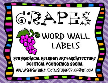
GRAPES Word Wall Labels
Updated! Here are some colorful and fun word wall labels using my version of the GRAPES Acronym. The labels include- geography, religion, art/architecture, political, economics and social. I have also included a label for "achievements" for those of you who prefer that category.As I introduce new vocabulary in my Social Studies classes or we study various civilizations and cultures, I add the words to the word wall under the appropriate categories. Just print, laminate and enjoy!
Grades:
6th - 9th
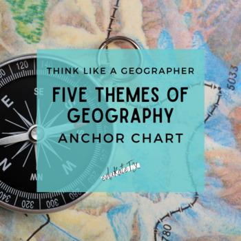
Five Themes of Geography Anchor Chart & Mnemonic Device
MR. HELP can assist students with remembering the five themes of geography: movement, region, human-environment interaction, location, and place. This anchor chart is also a mnemonic device that can be printed as a poster or shared digitally with your distance learners. You can event display it on your Bitmoji classroom bulletin board!Follow my Pinterest page to get even more inspiration from free education resources like YouTube channels, podcasts, memes, and more. You can also follow eduKateTX
Grades:
4th - 12th, Higher Education, Adult Education
Types:
Also included in: Model UN: Resolution Writing BUNDLE
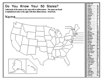
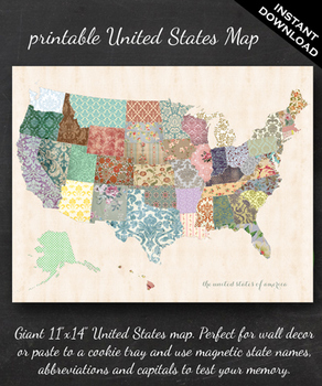
Map - Printable United States Map - 11" x 14"
Map of the United States
***If you love this please rate me!!! And follow my for even more great designs and freebies***
The perfect printable for:
- geography lessons,
- plotting character's journeys in books,
- marking the regions you learn about throughout the year,
- tracking family history,
- practicing state name, abbreviation and capital memorization,
- reviewing current events,
- and more!
ABOUT THE MAP
Printable via professional photo center (like Walgreens) at 11"x14" or print
Subjects:
Grades:
PreK - 7th
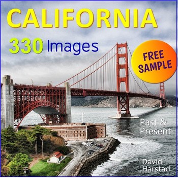
FREE - California Regions
FREE - California Regions - Posters.In this free sample: California Sacramento Delta & San Andreas Fault (8.5" x 11" PDF). Need a mighty California Bundle for $8.25? If you just need images for projects, reports, and lessons, then here are 330 California Images, which includes the following: • Animal - California Condor• Animal - Chinook Salmon• Animal - Cliff Swallow• Animal - Coyote• Animal - Elephant Seal, Piedras Blanca• Animal - Kangaroo Rat• Animal - Mountain Lion• Animal - Quail• Anim
Subjects:
Grades:
K - 7th
Also included in: Running Records
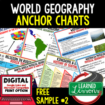
Geography Anchor Charts Free, World Geography Posters & Review Pages #2
Geography Free Anchor Charts (Great as Bellringers, Word Walls, and Concept Boards)(Great as Bellringers, Word Walls, and Concept Boards), Mapping Skills Posters, Geography Review Pages, Digital Activity via Google Classroom This bundle will take your through the entire Geography curriculum. It will include all components of Geography. This is perfect for traveling around the world in style. Anchor charts are great for representing the topics covered with bright and clear visuals. They make
Grades:
6th - 12th
Types:
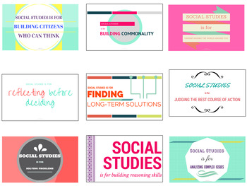
Social Studies Posters (Geography, History, Government, Civics, Economics)
Teaching geography, history, government, or economics? This is a poster pack of nine posters to help students remember why they’re in your social studies classroom in the first place! Each poster is set to print at high resolution at 14 x 8.5 inches (legal-sized paper). To scale it up or down to a different size, please pay close attention to your printer’s scaling/fit-to-page settings. Scaling up can cause image quality to decline. You may also be interested in the following social studies re
Subjects:
Grades:
7th - 9th
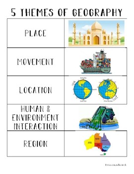
5 Themes of Geography Anchor Chart
Hang in your classroom or glue into student notebooks for a quick visual reminder of the 5 themes of geography.
Subjects:
Grades:
2nd - 8th

Compass Rose Signs N/S/E/W
Cardinal direction signs to hang in your classroom :)
Subjects:
Grades:
PreK - 9th
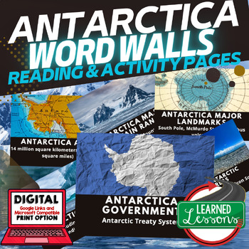
Antarctica Word Wall Activity Pages World Geography Word Wall
Antarctica WORD WALL Activity Pages | WORLD GEOGRAPHY Activities| Classroom DecorAre you looking for ways to engage students in learning using visuals? These Geography Word Wall Activities are perfect for visual learners, ESL students, ESS students, and make great classroom decor. Also part of the World Geography MEGA Bundle & Australia Bundle. Sign up for email updates and follow me on TPT for updates.INCLUDED: Word Wall Posters for Classroom Decor (can be printed 1, 2, or 4 to a page)Word
Grades:
6th - 12th
CCSS:
Also included in: World Geography Word Wall Activity Pages with Definitions BUNDLE
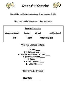
Create Your Own Map Project
Finishing up a unit on reading basic maps? Students will create their own maps from start to finish. Students pick the area of their choice to map out. All basic map elements should be included. *Includes rubric*
Subjects:
Grades:
4th - 7th

FREE Qatar 2022 Maze Wordsearch Countries World Cup Football Soccer Spanish
Free wordsearch and maze, English and Español versions.Check here More Qatar World Cup resources
Subjects:
Grades:
4th - 7th
Elements of Culture Anchor Chart
Support students learning about culture with an anchor chart that details the elements that describe cultural traits and cultural regions. Don't forget to check out the full bundle that includes in-class and distance learning assignments.Be sure to follow eduKateTX on Facebook to receive updates about new releases, product sales, and free Time Saving Tech Tips for Busy Teachers. All products are designed to be used by a single teacher in his/her classroom. Please consider purchasing a license fo
Grades:
6th - 12th, Higher Education, Adult Education
Also included in: Model UN: Resolution Writing BUNDLE
Showing 1-24 of 111 results


