48 results
7th grade geography lectures for Microsoft Word

Global Studies: Middle East PowerPoint
The Global Studies: Middle East PowerPoint allows students to become more familiar with the historical, economic, and cultural characteristics of the Middle East. As such the PowerPoint is broken into:1. Monotheistic Religions in the Middle East (Christianity, Judaism, and Islam)2. Ethnic Groups of Middle East (Kurds, Persians, Arabs)3. Partition of Israel4. Continual Conflict in Israel (Arab-Israeli War, Six Day War, Yom Kippur War)5. PLO & Hamas6. The Intifadas7. Iranian Revolution8. Sadda
Grades:
7th - 12th
Also included in: Complete Global Studies PowerPoint Bundle!
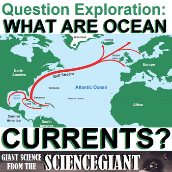
Question Exploration: What Are Ocean Currents?
What Are Ocean Currents? This Question Exploration helps Ss define currents and thermohaline circulation, explain what factors drive deep ocean and surface currents, identify the primary ocean currents. Includes 10 question quiz, and worksheet to label the currents.This product includes both the completed question exploration, and the student guide blanked except for vocabulary, scaffolding questions, and graphics already filled in. It includes a worksheet and recommended video for review. And
Subjects:
Grades:
6th - 12th
Types:
Also included in: StayGiant Earth Science Bundle: The Hydrosphere (water)
World Geography: North America PowerPoint
The North America PowerPoint allows students to become more familiar with the physical and human geography of North America. As such the PowerPoint is broken into:(UPDATED AUGUST 2020 as a Google Slide Presentation! Perfect for hybrid, blended, online, or digital learning!)1. Physical Characteristics of North America2. Economic Characteristics of North America (including NAFTA)3. Cultural Characteristics of North America (including regional differences within the United States)
Subjects:
Grades:
7th - 12th
Also included in: Complete World Geography PowerPoint Bundle!
World Geography: Population and Urbanization PowerPoint
The Population and Urbanization PowerPoint allows students to become more familiar with human geography. As such the PowerPoint is broken into:(UPDATED AUGUST 2020 as a Google Slide Presentation! Perfect for hybrid, blended, online, or digital learning!)1. Population (identifying Population Distribution, Density, and Population Pyramids)2. Location of Cities (site vs situation)3. Cultural Regions (including ethnic and religious regions)
Grades:
7th - 12th
Also included in: Complete World Geography PowerPoint Bundle!
World Geography: Middle East and Northern Africa PowerPoint
The Middle East and Northern Africa Geography PowerPoint allows students to become more familiar with the physical and human geography of Middle East and Northern Africa. As such the PowerPoint is broken into:1. Physical Characteristics of Middle East and Northern Africa2. Economic Characteristics of Middle East and Northern Africa (including OPEC)3. Cultural Characteristics of Middle East and Northern Africa (including Monotheistic Religions)
Subjects:
Grades:
7th - 12th
Also included in: Complete World Geography PowerPoint Bundle!
World Geography: Sub-Sahara Africa PowerPoint
The Sub-Sahara Africa PowerPoint allows students to become more familiar with the physical and human geography of Sub-Sahara Africa. As such the PowerPoint is broken into:(UPDATED AUGUST 2020 as a Google Slide Presentation! Perfect for hybrid, blended, online, or digital learning!)1. Physical Characteristics of Sub-Sahara Africa2. Economic Characteristics of Sub-Sahara Africa3. Cultural Characteristics of Sub-Sahara Africa (comparing food, dance, music, and introduction to polyrhythm)
Subjects:
Grades:
7th - 12th
Also included in: Complete World Geography PowerPoint Bundle!
World Geography: Europe & Russia PowerPoint
The Europe and Russia PowerPoint allows students to become more familiar with the physical and human geography of Europe and Russia. As such the PowerPoint is broken into:1. Physical Characteristics of Europe and Russia2. Economic Characteristics of Europe and Russia (including European Union)3. Cultural Characteristics of Europe and Russia (including regional sites)
Subjects:
Grades:
7th - 12th
Also included in: Complete World Geography PowerPoint Bundle!
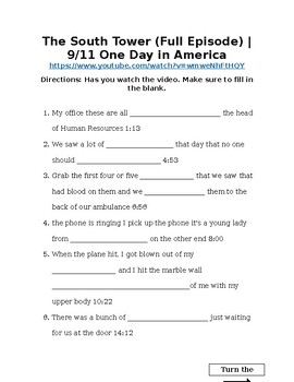
The South Tower (Full Episode) 9/11 One Day in America
Students will watch a video and fill in the blank based on primary sources of people who survived 9/11
Subjects:
Grades:
4th - 12th, Adult Education
Types:
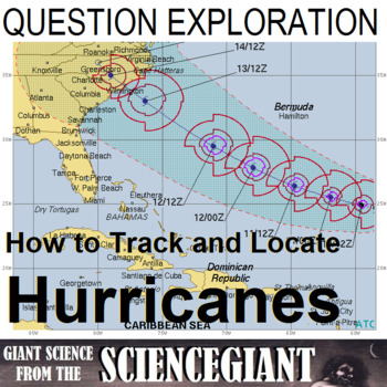
Question Exploration: What Methods Are Used to Track Hurricanes?
What methods are used to locate and keep track of storms and hurricanes? This question exploration helps Ss explain latitude and longitude coordinates, and contains a lab activity from NOAA to practice hurricane tracking.Question Exploration Routines are instructional methods that teachers can use to help a diverse student population understand a body of content information by carefully answering a critical question to arrive at a main idea answer. Students taught using the content enhancement r
Subjects:
Grades:
6th - 12th
NGSS:
HS-ESS2-4
, MS-ESS2-6
, HS-ESS2-2
, MS-ESS2-5
World Geography: Political & Economic Foundations PowerPoint
The Political & Economic Geography PowerPoint allows students to become more familiar with the basics of governmental and economic structures throughout the world. As such the PowerPoint is broken into:(UPDATED AUGUST 2020 as a Google Slide Presentation! Perfect for hybrid, blended, online, or digital learning!)1. Political Geography 2. Forms of Government3. Economic Resources (Natural, Human, and Capital)4. Economic Sectors (Primary, Secondary, Tertiary)5. Trade and Unequal Land Distributio
Grades:
7th - 12th
Also included in: Complete World Geography PowerPoint Bundle!
World Geography: Latin America PowerPoint
The Latin America Geography PowerPoint allows students to become more familiar with the physical and human geography of Latin America. As such the PowerPoint is broken into:(UPDATED AUGUST 2020 as a Google Slide Presentation! Perfect for hybrid, blended, online, or digital learning!)1. Physical Characteristics of Latin America2. Economic Characteristics of Latin America (including USMCA and Maquiladoras)3. Cultural Characteristics of Latin America
Subjects:
Grades:
7th - 12th
Also included in: Complete World Geography PowerPoint Bundle!
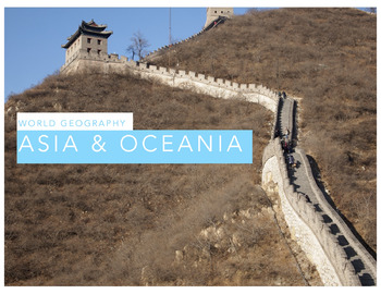
World Geography: Asia & Oceania PowerPoint
The Asia and Oceania Geography PowerPoint allows students to become more familiar with the physical and human geography of Asia and Oceania. As such the PowerPoint is broken into:(UPDATED AUGUST 2020 as a Google Slide Presentation! Perfect for hybrid, blended, online, or digital learning!)1. Physical Characteristics of Asia and Oceania2. Economic Characteristics of Asia and Oceania (including ASEAN)3. Cultural Characteristics of Asia and Oceania (including religions)
Subjects:
Grades:
7th - 12th
Also included in: Complete World Geography PowerPoint Bundle!
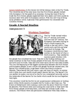
Working Together-Fur Trade in North America
Fur Trade and information about it.
Subjects:
Grades:
4th - 8th

Primary and Secondary Sources Cornell Notes
Helping students to define and distinguish between primary and secondary sources is a necessary skill when thinking like a historian. These Cornell Style Notes help students to understand what makes each type of source important. Students will examine specific examples for each type. These notes also explore why individuals have faked sources and how to examine them carefully for historical accuracy.This product is also sold as part of the World Religions Cornell Notes Bundle AND the World Re
Grades:
7th - 12th
Also included in: Early River Valley Civilizations Unit Bundle (World History)
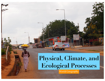
World Geography: Climate & The Environment PowerPoint
The Climate and The Environment PowerPoint allows students to become more familiar with physical geography. As such the PowerPoint is broken into:(UPDATED AUGUST 2020 as a Google Slide Presentation! Perfect for hybrid, blended, online, or digital learning!)1. Plate Tectonics and The Continental Drift Theory2. Elements of Climate3. Natural Effects of Climate4. The Human Impact on the Environment (Dams, Canals, etc)
Grades:
7th - 12th
Also included in: Complete World Geography PowerPoint Bundle!
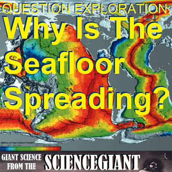
Question Exploration: Why is the Seafloor Spreading?
Why is the Seafloor Spreading? This question exploration helps Ss explore the process that occurs at mid-ocean ridges, where new oceanic crust is formed through volcanic activity and then gradually moves away from the ridge, and helps explain continental drift in the theory of plate tectonics.Question Exploration Routine is an instructional methods that teachers can use to help a diverse student population understand a body of content information by carefully answering a critical question to arr
Subjects:
Grades:
7th - 10th, Higher Education
Also included in: StayGiant Earth Science Bundle: Geology (plate tectonics)
Israel and Palestine Conflict Explanation Video
Students will watch a video with guided notes. They will learn how the current war in Israel started and the political differences.
Grades:
6th - 12th
Types:
Global Studies: Population & Culture
The Global Studies: Population and Culture PowerPoint allows students to become more familiar with the key population trends and cultural concepts for any international studies, world history, or global studies course. As such the PowerPoint is broken into:1. Population Trends (Distribution, Density, and Population Pyramids)2. Culture (Cultural Diffusion and Cultural Convergence)3. Monotheistic Religions (Christianity, Judaism, Islam)4. Polytheistic Religions (Hinduism)5. Non-theism (Buddhism) U
Grades:
7th - 12th
Also included in: Complete Global Studies PowerPoint Bundle!

World Geography: Themes of Geography PowerPoint
The Themes of Geography PowerPoint allows students to become more familiar with the Five Themes of Geography and introduces them to core geographical foundations. As such the PowerPoint is broken into:(UPDATED AUGUST 2020 as a Google Slide Presentation! Perfect for hybrid, blended, online, or digital learning!)1. Five Themes of Geography2. Map Skills (Reading Maps, Relative vs Absolute Location)3. Types of Maps and Globes
Grades:
7th - 12th
Also included in: Complete World Geography PowerPoint Bundle!
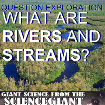
Question Exploration: What Are Rivers and Streams?
Row, Row, Row Your Boat, Gently Down The... What Are Rivers and Streams? This question exploration explains waterways of rivers, streams, rapids and meanders, and gives Ss information on the ages and stages of a river on a topographic map (youthful, mature, and old).Question Exploration Routines are instructional methods that teachers can use to help a diverse student population understand a body of content information by carefully answering a critical question to arrive at a main idea answer. S
Subjects:
Grades:
6th - 12th
Types:
Also included in: StayGiant Earth Science Bundle: The Hydrosphere (water)

Question Exploration: Where are Major Volcanic and Earthquake Zones?
Where are Major Volcanic and Earthquake Zones?This Question Exploration helps students explain the Essential Question: How are earthquake epicenters and volcanic mountain chains related to plate boundaries (the Mid-Atlantic Ridge, the Eurasian-Melanesian Belt, and the Ring of Fire)? Question Exploration Routine is an instructional methods that teachers can use to help a diverse student population understand a body of content information by carefully answering a critical question to arrive at a m
Subjects:
Grades:
7th - 10th
Also included in: StayGiant Earth Science Bundle: Geology (plate tectonics)
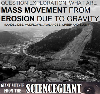
Question Exploration: How Does Gravity Cause Erosion?
Look Out Below! What are types of mass movement from erosion due to gravity? This question exploration explains that while erosion removes material from a place, mass erosion is the downhill movement of weathered materials due to gravity, and is either rapid (landslides and mudflows), or slow (earthflow and creep).
Question Exploration Routines are instructional methods that teachers can use to help a diverse student population understand a body of content information by carefully answering a
Subjects:
Grades:
6th - 12th
Also included in: StayGiant Earth Science Bundle: Geology (plate tectonics)
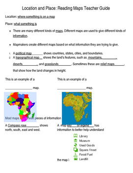
Basic map skills notes outline
This is a basic introduction to location and place, addressing basic geographical concepts such as map features and absolute and relative location. It can be used as a review or as an introduction to a geography unit.
This is helpful for an interactive notebook so students can refer back to the concepts mentioned.
Methods of use range from whole-class direct instruction to partner search and find activities via textbook or internet.
Teacher notes key is included.
Subjects:
Grades:
5th - 7th
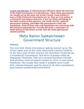
Metis Government Structure-Saskatchewan
This explains the Metis Government Structure within Saskatchewan.
Subjects:
Grades:
4th - 7th
Showing 1-24 of 48 results


