59 results
3rd grade geography assessments for Easel
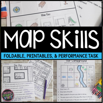
Map Skills Worksheets & Performance Task | Print & Easel
Practice using a map key, a compass rose, and a scale to read, interpret, and create basic maps! These printables are perfect for teaching geography or quick map skills assessments in first grade, second grade, or third grade! The following print-and-go map skills activities are included:Map Vocabulary Foldable: Students cut along the dotted lines to create three flaps and then fold along the solid line. Under each flap, students define the vocabulary word shown on the top of the flap. Words inc
Grades:
1st - 3rd
Types:
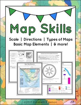
Map Skills Package
This package contains a variety of handouts, worksheets, a lesson idea, and an activity to help teach students map skills such as scale, cardinal and intermediate directions, types of maps (planimetric, thematic, topographic), and basic map elements (legend, title etc.)
Contents
Welcome
Teaching Guide (3 pages)
Latitude, Longitude, and Directions: The Orange Lesson
Latitude Labeling Worksheet Option 1 (label)
Latitude Labeling Worksheet Option 2 (trace)
Cardinal and Intermediate Directions Han
Grades:
3rd - 6th
Types:
Also included in: Map Skills Bundle: activities, worksheets, crafts, posters + more
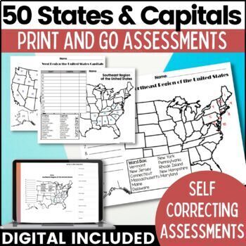
50 States and Capitals Map Activities Print & Digital Resource
Help your students learn and remember the 50 United States and Capitals. This product breaks the 50 states into five regions to make learning easier to manage and teach. United States maps are included with printable assessments, self correcting digital assessment and digital practice worksheets.Update! Easel Digital Version is Included (updated 7/2022)Self Correcting Assessments and Easy to Assign!Save $$$ when you buy as a bundle:The United States and Capitals Geography Review Activities and A
Grades:
3rd - 5th
Types:
Also included in: 50 States and Capitals Bundle Map Print & Digital Resource 50% OFF
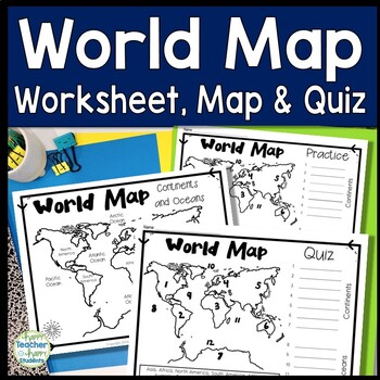
World Map: World Map Quiz (Test) and Map Worksheet | 7 Continents and 5 Oceans
Map of the World Test: Easy-to-read World Map Quiz requires students to locate 7 Continents and 5 Oceans. This resource also includes a world map printable for kids to practice learning the map of the world. Students must label continents and oceans: 7 Continents (Asia, Africa, North America, South America, Antarctica, Australia & Europe) and 5 Oceans (Atlantic, Pacific, Indian, Arctic & Southern). This is an ideal continents and oceans activities for 1st grade, 2nd grade, 3rd grade, 4th
Grades:
2nd - 6th
Types:
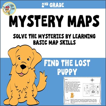
Map Skills 2nd grade, Print and Digital
This fun, engaging map packet is an introduction to map skills. It contains information about a compass rose, map keys, and city blocks. Students will use a compass rose to locate a lost puppy, use information about city blocks to locate a mystery field trip, and illustrate their own maps. Students respond, write their own map questions, and challenge each other. A student formative and answer key is included.
Subjects:
Grades:
2nd - 3rd
Types:
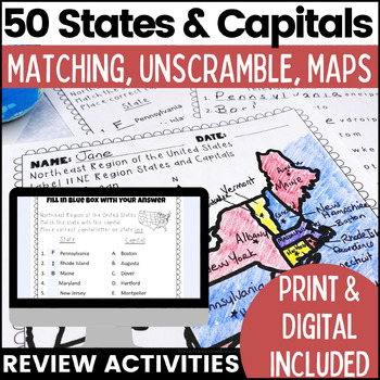
50 States and Capitals Worksheets | Print & Digital Resource
Help your students learn the 50 States and Capitals by region by matching states and capitals, unscrambling, and creating map worksheets. The 50 United States and Capitals Map Activities are print and go easy to use. Update: Digital version is now included! 7/22Click Here to View The United States and Capitals Geography Review Activities and Assessment Bundle (Save 40% when you buy as a bundle)Product includes:Northeast Region Matching States and CapitalsNortheast Region Unscramble States and Ca
Grades:
3rd - 8th
Types:
Also included in: 50 States and Capitals Bundle Map Print & Digital Resource 50% OFF
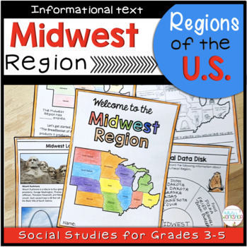
Midwest Region Maps Reading Passages and Comprehension Activities
Your students will enjoy learning what the Midwest Region of the U.S. is known for with this student-friendly printable and digital activity. Students will use maps, text features, and informational text to learn about the landscape, food, climate, natural resources, animals, and the geography of the Midwest Region. This is part of a Regions of the United States Bundle. Bundle and save 20%!This product includes:Cover6 pages of informational text (includes paragraphs, pictures, and maps)Quiz3 Inf
Grades:
3rd - 5th
Types:
Also included in: 5 Regions of the US Maps Reading Passages and Comprehension Activities
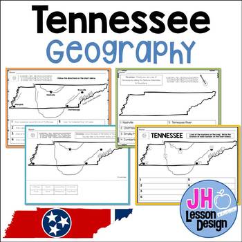
Tennessee Geography: TN Social Studies Standards
This product meets new Tennessee Social Studies Standards. This set includes a variety of ways for your students to practice locating the major cities, rivers, and physical features of Tennessee.Through activities involving labeling, coloring, and cut and paste, students will be able to identify the following features:ChattanoogaNashvilleMemphisKnoxvilleCumberland RiverTennessee RiverMississippi RiverSmoky MountainsTN 3.12 Locate the following cities and physical features in Tennessee:
Subjects:
Grades:
3rd
Types:
Also included in: Geography BUNDLE: TN Social Studies Standards
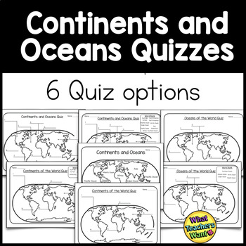
Continents and Oceans Quizzes Distance Learning
There are 6 options for assessment in this product to test your students on the location of continents and oceans.1. Continents and Oceans Quiz with blanks 2. Continents and Oceans Quiz with word bank3. Oceans Quiz with blanks 4. Ocean Quiz with word bank5. Continents Quiz with blanks6. Continents Quiz with word bank**ALSO, included is a handout with continents and oceans marked on the map. Use this as a handout or as a key*****************DO NOT BUY THIS IF YOU HAVE BOUGHT MY CONTINENTS
Grades:
3rd - 5th
Types:
Also included in: Continents and Oceans Bundle
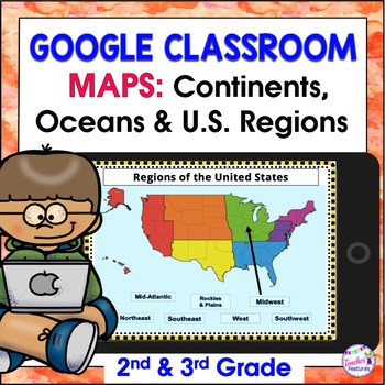
Map Skills US REGIONS CONTINENTS & OCEANS Google Slides & EASEL
Review map skills, 7 continents, identify world oceans & U.S. Regions: Northeast, Southeast, Midwest, Southwest & West using Google Slides. Interactive activities are great for all levels of learning. Use this with your smart board or for individual devices. Includes an Easel Activity! (33 Google Slides, 21 EASEL pages & 60 EASEL Questions)The Google Slide Access link contains 33 slides and 60 Question Easel Assessment:- Continent slides: with labels, without labels & drag the l
Grades:
2nd - 4th
Types:
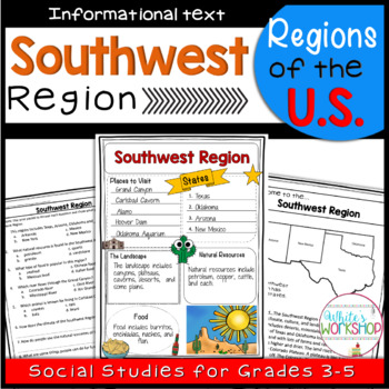
Southwest Region of the United States
Connect your Social Studies curriculum to your ELA block. Your students will enjoy learning about Southwest Region of the U.S. with this student-friendly informational packet. Students will learn about the landscape, food, climate, natural resources, animals, and the geography of the Southwest Region. This is part of a Regions of the United States Bundle. Bundle and Save 20%*PLEASE NOTE: this is not a digital product, but rather a fun alternate to traditional Social Studies practice, especiall
Grades:
3rd - 5th
Types:
Also included in: 5 Regions of the US Maps Reading Passages and Comprehension Activities
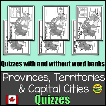
Canada's Provinces, Territories and Capital Cities Map Quizzes Distance Learning
1. Provinces and Territories map labelled (Could be used as a key or handout for studying)2. Province and Territories Quiz - one quiz with a word bank and another without3. Capital Cities labelled (Could be used as a key) 4. Capital Cities Quiz - one quiz with a word bank and another without*****DO NOT BUY THIS IF YOU HAVE ALREADY BOUGHT MY CANADA'S PROVINCES AND TERRITORIES GAMES AND ACTIVITIES. YOU ALREADY HAVE THESE****
Grades:
3rd - 6th
Types:
Also included in: Canada Bundle: Provinces and Territories
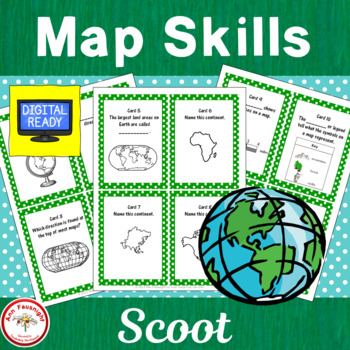
Map Skills Scoot
This game can be used as an assessment of map skills. A page with a map of Canada has been added for cards 19 - 20.1. Cut out each numbered question card and place one randomly on each student’s desk and/or in other locations around the room.2. Copy the answer sheet and give one to each student.3. Each student starts at an assigned spot and answers that question. Be sure students record the response on the answer sheet by the correct space! Everyone cannot start at one!4. On your command of “S
Grades:
3rd - 5th
Types:
Also included in: Map Skills Bundle
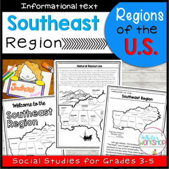
Southeast Region of the United States
Connect your Social Studies curriculum to your ELA block. Your students will enjoy learning about Southeast Region of the U.S. with this student-friendly informational packet. Students will learn about the landscape, food, climate, natural resources, economy, and the geography of the Southeast Region. This is part of a Regions of the United States Bundle. Bundle and Save 20%*PLEASE NOTE: this is not a digital product, but rather a fun alternate to traditional Social Studies practice, especially
Grades:
3rd - 5th
Types:
Also included in: 5 Regions of the US Maps Reading Passages and Comprehension Activities
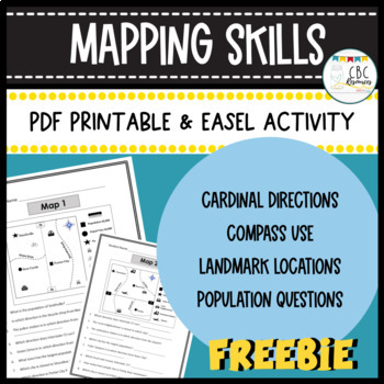
Mapping Skills Worksheets Cardinal Directions Compass Use Easel Activity
Help your students learn more about how to use a map in this free resource. Each page has a specific map that students will need to answer questions about. Students will show understanding of cardinal directions, how to use a compass, locating a landmark, and determining population of specific towns. Teacher keys are provided for easy grading and review with students on a document camera. Each of the maps can be used as a bell ringer, guided practice, or independent class work. This free resourc
Subjects:
Grades:
3rd - 4th
Types:
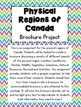
Physical Regions of Canada- Brochure Assignment
This is an assignment for the physical regions of Canada. Students will be tasked to create a brochure discussing a variety of different aspects of the physical region: Location, Landforms, Climate, Wildlife, Vegetation, Industries, Natural Resources, Recreational Activities. This assignment provides students with a graphic organizer to help them record their research. Students should then turn their research into a brochure. An accommodated brochure is also attached to this package. It will hav
Subjects:
Grades:
3rd - 6th
Types:
Also included in: Physical & Political Regions of Canada Assignment/ Activities Bundle
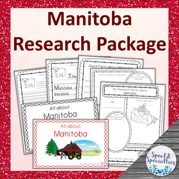
Manitoba Province of Canada Differentiated Research Project
This is a differentiated research package containing all of the materials needed to complete a research project on Manitoba, including emergent readers, graphic organizers, and writing paper. With simple and accessible materials, this project is perfect for the special education and regular classroom, early learners, and more!This non-fiction Canadian research package contains 5 elements: -a full-colour 10-half-page (including cover) emergent reader containing key facts and information, written
Subjects:
Grades:
3rd - 5th
Also included in: Canadian Provinces & Territories Research Packages BUNDLE
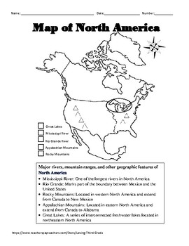
Social Studies VA SOL 3.6 d North America Geography wTPT Digital Learning Option
North America Geographic Features Interactive Notebook Page and QuizIncluded in this resource are: -An interactive notepage that defines the 5 major geographic features found in North America and allows students to color code the location of each geographic feature on a map of North America.-A quiz that requires the students to identify the 5 major geographic features found in North America and label a compass rose with cardinal and intermediate directions.Aligned to the 2015 Virginia Standards
Subjects:
Grades:
3rd
Also included in: Social Studies VA SOL 3.6 Geography Bundle w/TPT Digital Learning Option
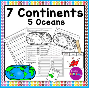
Continents and Oceans Geography Assessments Maps Worksheets and Activities
Embark on a global journey as your students explore the continents and oceans with this comprehensive geography resource. The Continents and Oceans Geography Assessments provide a mix of worksheets and activities designed to strengthen students' understanding of world geography. Whether you're looking for review materials, assessment tools, or engaging activities, this resource has you covered. When is a good time to use this resource?Perfect for introducing or reinforcing geography conceptsIdea
Grades:
3rd - 4th
Types:
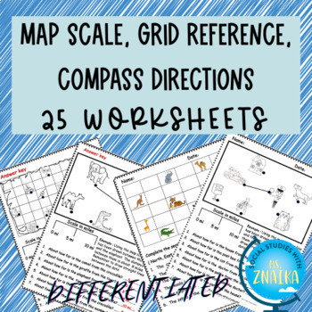
Map skills-scale, grid reference, compass directions (Differentiated)
This product includes 25 worksheets on map scale, grid references and reading maps using compass directions. It is ideal for grade 2 and grade 3 map skills unit! Answer key provided! This resource includes interactive EASEL activities that can be completed from any device. The product includes : 1. Treasure map scale worksheets ( Black-white/ colored + Differentiated)2. Town map scale worksheets (Black-white + Differentiated )3. Zoo map scale worksheets ( Black-white + Differentiated ) 4. Readi
Grades:
2nd - 4th
Types:
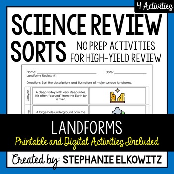
Landforms Review Sort | Printable, Digital & Easel
A NO-PREP resource to review HIGH-YIELD topics in science! My science review sorts help students develop mastery of science concepts, review difficult concepts and avert common misconceptions and misunderstandings. Each individual review sort will target a specific topic. By doing so, students focus their attention and effort on advancing their understanding of scientific ideas and concepts related to that topic. Important Notes:• Download a FREE High-Yield Review Activity• Save $$$ with the Ear
Subjects:
Grades:
3rd - 8th
Types:
NGSS:
4-ESS2-2
Also included in: Earth Science Review Activities | Printable & Digital
Label the Continents and Oceans | Cut and Paste
These cut and glue activity pages provide a hands on opportunity for your students to learn about the 7 continents and 5 oceans! Three different options for a variety of practice: label the continents, label the oceans, or label both the continents and oceans. These activity pages can be used as an assessment, for morning work, homework, early finishers, center work, practice tests, and so much more! Clipart by: Photo ClipzBack to School Clip Art - School Supplies Clip Art - Free Clip ArtFont fr
Subjects:
Grades:
1st - 5th
Types:
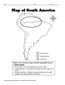
Social Studies VA SOL 3.6 e South America Geography wTPT Digital Learning Option
South America Geographic Features Interactive Notebook Page and QuizIncluded in this resource are: -An interactive notepage that defines the 3 major geographic features found in South America and allows students to color code the location of each geographic feature on a map of South America.-A quiz that requires the students to identify the 3 major geographic features found in South America and label a compass rose with cardinal and intermediate directions.Aligned to the 2015 Virginia Standards
Grades:
3rd
Also included in: Social Studies VA SOL 3.6 Geography Bundle w/TPT Digital Learning Option
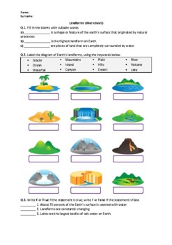
Landforms - Worksheet | Easel Activity & Printable PDF
This worksheet is the perfect way to help your students learn and review Landforms.You can access the answer key, also a word document and Google Slides link of this content from the following resource:Landforms - WorksheetIn this worksheet, students will answer questions about the following terms:GlacierMountainsPlainRiverOceanIslandHillsVolcanoWaterfallCanyonDesertLakePeninsulaPlateauRelated products include:Earth Science (Middle School) - WorksheetsScience Worksheets All in OneFor updates abo
Subjects:
Grades:
3rd - 6th
Types:
Also included in: Earth Science Worksheets Bundle - Easel Activities and Printable PDFs
Showing 1-24 of 59 results


