65 results
3rd grade geography handouts for Easel
World Map - World's Continents & Oceans Mapping Activity
Map Activity – World’s Continents & OceansIn this activity, students must locate and identify the world’s continents and oceans. When students are finished with this, they may spend time coloring the various continents and oceans if so desired. This activity could also easily be used as an assessment piece as well (i.e. test, quiz, etc.) thus has multiple uses!Included in this package is a ready-to-copy blackline master world map along with a separate answer key.Preview file is available for
Subjects:
Grades:
3rd - 10th
Types:
Also included in: Map Activity Bundle
Grade 3 Social Studies Ontario: Living and Working in Ontario 2023
This package includes:Shared reading passages, Easy-to-follow worksheets, Differentiated tasks (Low and High), Unit Quiz, Unit Review Tests, Answer Key, All expectations in "People and Environments" Strand covered, Includes 3 Formats:1. PDF Download:Download PDF and photocopy worksheets2. TPT EASEL Activity:EASEL FAQEASEL Tutorial3. Google Slides:Download PDF and click on the link at the bottom of the Credits pageMake your own copy of the Google Slides when promptedBased on the Ontario Curriculu
Subjects:
Grades:
3rd
Types:
Also included in: Grade 3 Ontario Social Studies Bundle 2023
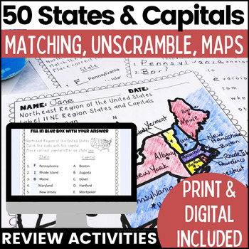
50 States and Capitals Worksheets | Print & Digital Resource
Help your students learn the 50 States and Capitals by region by matching states and capitals, unscrambling, and creating map worksheets. The 50 United States and Capitals Map Activities are print and go easy to use. Update: Digital version is now included! 7/22Click Here to View The United States and Capitals Geography Review Activities and Assessment Bundle (Save 40% when you buy as a bundle)Product includes:Northeast Region Matching States and CapitalsNortheast Region Unscramble States and Ca
Grades:
3rd - 8th
Types:
Also included in: 50 States and Capitals Bundle Map Print & Digital Resource 50% OFF
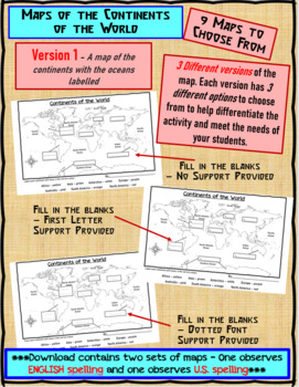
Maps of the Continents of the World For Students to Label and Colour/Color
This download contains 9 maps of the continents of the world (11 x 17 paper) to allow you differentiate your instruction to help meet needs of all students in your classroom as they learn to identify and locate the continents of the world. ***Please note that there are 2 sets of each of the 9 maps – one set observes English Spelling and one set observes U.S. spelling.***This download contains: 1. A map of the continents with the oceans labelled and the continents left blank for students to fill
Subjects:
Grades:
2nd - 7th, Adult Education
Types:
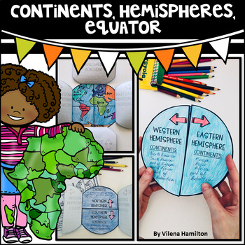
Continents. Hemispheres. Equator. Reading Passage & Foldable.
Reading Passage + Foldable to help your students memorize the continents and understand hemispheres in a simple and not so boring way. Here is what's included:- 2-Page Reading Passage about continents, hemispheres, & equator with 10 comprehension questions;- Foldable Templates;- Answer Keys for everything.You might also like:Maps. Map Skills. Compass Rose. Distance Scale. Map Key. Map Grid.Family Tree Project. Digital & Printable3 Branches of Government Mini Interactive Lapbook. Digital
Grades:
2nd - 3rd
Also included in: Geography Bundle
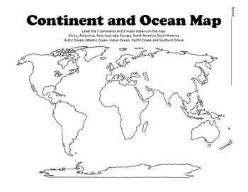
Continent and Ocean Map Worksheet Blank
Continent and Ocean Map worksheet can be used as a worksheet as well as a pretest and post test to assess students knowledge. Student can label and then color the different continents and oceans in order to learn this section of the AKS. Additional Maps - World Maps - Continent, Oceans, Climate Zones and Time Zone MapsUnited States Map Bundle - Political and Physical MapsSouth America Maps - South America Political and Physical MapsLouisiana Purchase MapBe the first to know about new products (a
Subjects:
Grades:
1st - 12th
Types:
Also included in: US History Bundle / Distance Learning
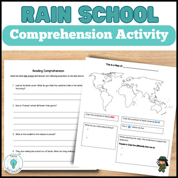
Rain School Worksheets - Map Activity - Rain School Book Companion
These are activities for the book Rain School for upper elementary students to help set the stage for the story and check for understanding. Students will:Answer questions about the continent of Africa and Chad as the story is set in the regionWatch a video about how people in Chad make their homes similar to the Rain School storyAfter reading Rain School, students answer the reading comprehension questions Complete a small research assignment on the country of Chad! This Rain School resource i
Grades:
2nd - 5th
Types:
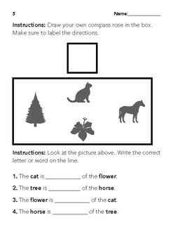
North South East West
This is a simple file for reviewing cardinal directions. The way the questions are written are good for comprehension and understanding. This is geared towards 1st-3rd grades.C3 Framework Standards: D2.Geo.1.K-2. Construct maps, graphs, and other representations of familiar places. D2.Geo.2.K-2. Use maps, graphs, photographs, and other representations to describe places and the relationships and interactions that shape them. D2.Geo.3.K-2. Use maps, globes, and other simple geograp
Subjects:
Grades:
1st - 3rd
Types:
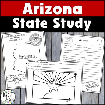
Arizona State Study
Students will increase their state knowledge on Arizona symbols, history, maps, and facts. This study includes a variety of activities and can be adapted for use as an introduction to Arizona or as a more in-depth study using the 18 included task cards. Kids will love completing using the research task cards using primary and secondary sources to gather information. Each task card covers a research topic and has students conduct a meaningful inquiry about the topic. Using library sources to cond
Grades:
2nd - 6th
Types:
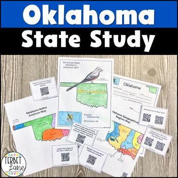
Oklahoma State Study with QR Codes
This Oklahoma packet is an engaging state study including a variety of activities which can be adjusted to meet the needs of students at many levels. More advanced students should be able to give more in depth answers while less experienced students can give more simple facts about the state. Not all of the pages this resource translate well to digital but I have added a TpT digital version of the pages that do to give you more options in using this resource. Includes:State symbols and facts inf
Grades:
3rd - 5th
Types:
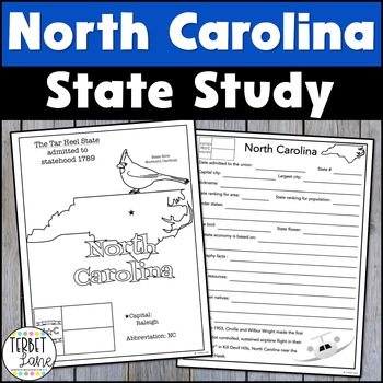
North Carolina History and Symbols Unit Study
This North Carolina packet is an engaging state study covering state symbols and several history research topics. This set including a variety of activities which can be adjusted to meet the needs of students at many levels. More advanced students should be able to give more in depth answers while less experienced students can give more simple facts about the state.Includes: State symbols and facts info pageNorth Carolina symbols coloring pageA travel brochure project18 research task cardsNorth
Grades:
3rd - 6th
Types:
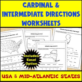
Map Skills Cardinal and Intermediate Directions Mid Atlantic States Worksheets
Do you need a way for your students to practice using maps to identify directions (both cardinal and intermediate)? If so, this set of 5 worksheets (and Easel assessment option) covering the United States and the Mid-Atlantic states of Pennsylvania, New York, and New Jersey can help. Each worksheet has 4-5 questions for students to answer using the map provided on the worksheet. There are 2 USA maps and one each for Pennsylvania, New York, and New Jersey. All of the questions are also provided
Subjects:
Grades:
2nd - 4th
Types:
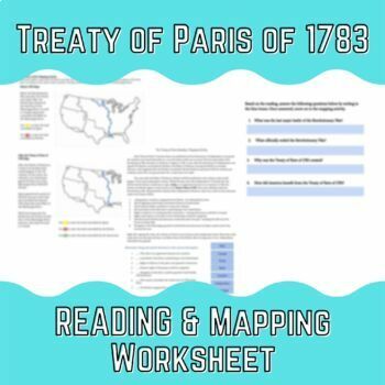
The Treaty of Paris of 1783 Reading & Mapping Worksheet
Have students learn about the end of the Revolutionary War with this interactive worksheet! This worksheet addresses...- The end of the Revolutionary War- The outcomes of the Treaty of Paris- Drag & Drop Activities- short answer questionsand lastly, a before and after mapping activity! Easy to use, little prep for those days you are looking for a filler! Easel version included!
Grades:
3rd - 8th
Types:
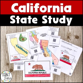
California Social Studies
This California packet is an engaging state study including a variety of activities which can be adjusted to meet the needs of students at many levels. More advanced students should be able to give more in depth answers while less experienced students can give more simple facts about the state.Includes:State symbols and facts info pageCalifornia symbols coloring pageSymbolism of the state flag facts pageA geographic regions facts page18 research task cards, one set with QR codes and one withoutC
Grades:
3rd - 5th
Types:
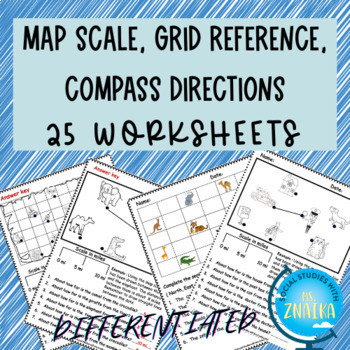
Map skills-scale, grid reference, compass directions (Differentiated)
This product includes 25 worksheets on map scale, grid references and reading maps using compass directions. It is ideal for grade 2 and grade 3 map skills unit! Answer key provided! This resource includes interactive EASEL activities that can be completed from any device. The product includes : 1. Treasure map scale worksheets ( Black-white/ colored + Differentiated)2. Town map scale worksheets (Black-white + Differentiated )3. Zoo map scale worksheets ( Black-white + Differentiated ) 4. Readi
Grades:
2nd - 4th
Types:
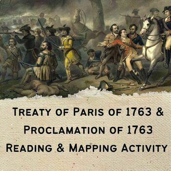
French & Indian War, Treaty of Paris, and Proclamation Reading & Mapping
Easy, ready to go! No prep lesson! Assign or print, then go! Students will be able to understand....- basic information regarding the French & Indian War- Results of the Treaty of Paris of 1763- Pontiac's Rebellion and the Proclamation of 1763!Students will be able to understand this information through a short reading, short answer questions, and a before and after mapping activity for students to understand how the land changed over time due to the French & Indian War! Easy activity, e
Grades:
3rd - 8th
Types:
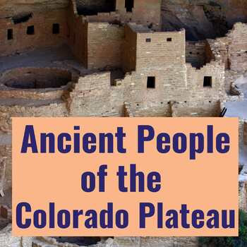
Ancient People of the Colorado Plateau: Informational Text and Activity Packet
Ancient People of the Colorado Plateau is a 20-page packet focused on Native American Heritage activties, containing an original informational text, maps, interactive activities, Common Core Standards-based assessments, and graphic organizers designed to teach elementary students about the Ancestral Pueblo and the Colorado Plateau.I developed this social studies resource for my son the summer after he completed third grade, in preparation for visiting the Cliff Dwellings at Mesa Verde and other
Grades:
2nd - 7th
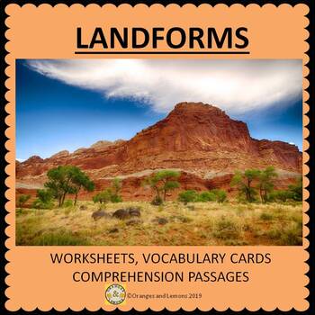
Landforms - characteristics and formation
A resource to assist with the learning of different types of landforms. This comprehensive packet covers 24 different types of landforms:-atoll, glacier, canyon, fjord, butte, bay, hill, island, isthmus, lake, mountain, peninsula, plain, plateau, valley, waterfall, river, volcano, lagoon and gulf.This resource contains:-24 color vocabulary cards;13 worksheets. These worksheets include matching a landform to the description, describing the landform, positive and negative consequences of different
Subjects:
Grades:
2nd - 4th
Types:
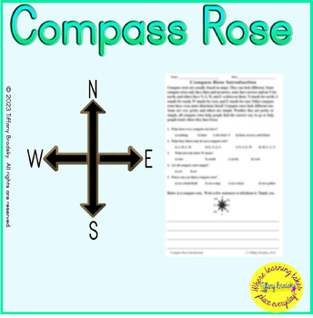
Compass Rose Introduction Relating to Maps & Reading Letters & Directions
This simple explanation is truly an introduction for students who are just beginning to learn about compass roses. What's Included:one worksheetshort paragraph that explains compass roses are usually on maps and what each of the four, main letters stand fora few multiple-choice questions and a written response (below the paragraph) to check comprehensionsame worksheet activity passage and questions in Easel different format with drag-and-drop for multiple-choice questions and typing for written
Grades:
1st - 4th, Adult Education
Types:
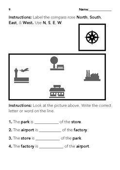
North South East West - Version 2
This is a simple file for reviewing cardinal directions. The way the questions are written are good for comprehension and understanding. This is geared towards 1st-3rd grades.There are 12 different versions with different levels of differentiated instruction to choose from. You can get all of them here in one download!C3 Framework Standards: D2.Geo.1.K-2. Construct maps, graphs, and other representations of familiar places. D2.Geo.2.K-2. Use maps, graphs, photographs, and other repre
Subjects:
Grades:
1st - 3rd
Types:
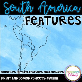
South America Geography
Print and go worksheets to explore countries, languages, and physical features in South America! A project extension idea is also included with this FREEBIE! This packet meets Tennessee social studies standards 3.33-3.34. I used these pages as notes for my class, and as an assessment tool.It includes a handout and answer key for each of the following:-map to label 5 countries (Cuba, Argentina, Brazil, Columbia, Peru)-map to label physical features/nearby islands-languages map
Grades:
3rd - 4th
Types:
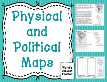
Physical and Political Maps
Students will read and answer questions about the differences and uses of Physical and Political maps. There is a cut and paste activity included.
Grades:
1st - 5th
Types:

What Was the Lewis & Clark Expedition Word Search Puzzle Activity
This differentiated What Was the Lewis & Clark Expedition word search puzzle is a fun, no prep activity that is perfect for boosting literacy skills, building vocabulary, and improving spelling as students learn about the explorers, Sacagawea, and geography. Available in printable PDF and online digital formats, you’ll be able to choose between multiple versions of the puzzle that make differentiated activities a breeze. Put them in your sub folder or keep them on hand for early finishers!Re
Grades:
3rd - 7th
Types:
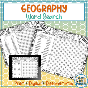
Geography Word Search Puzzle Activity
This differentiated Geography word search puzzle is a fun, no prep activity that is perfect for boosting literacy skills, building vocabulary, and improving spelling as students learn about different geography vocabulary. This puzzle can also be used for back to school introductions to geography class or end of year review. Available in printable PDF and online digital formats, you’ll be able to choose between multiple versions of the puzzle that make differentiated activities a breeze. Put them
Subjects:
Grades:
3rd - 7th
Types:
Also included in: School Subjects Word Search Puzzle Activity Bundle
Showing 1-24 of 65 results


