34 results
3rd grade geography independent work packets for Easel
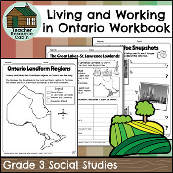
Living and Working in Ontario Regions Workbook (Grade 3 Social Studies)
This workbook covers the Grade 3 Living and Working in Ontario unit in the NEW 2023 Ontario Social Studies curriculum (People and Environments).In this workbook, students will learn many interesting things about Ontario. They will explore the provinces and territories of Canada through maps and descriptions. The workbook will teach them about land use in Ontario, including its purpose and how it is compared to other areas. They will learn about municipal governments and Indigenous reserves, incl
Grades:
3rd
Also included in: Grade 3 Ontario Social Studies Workbook Bundle
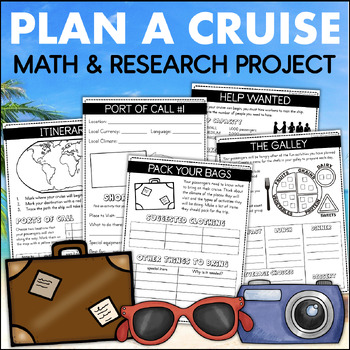
PLAN A CRUISE Vacation Budget Math Project Country Research 4th Grade Enrichment
This Plan A Cruise learning experience lets students become travel agents and design a fun-filled vacation for their classmates. They will use important skills like research, planning, time management, budgeting, and organization to create their one-of-a-kind trip. Each page in their cruise plan book requires students to use academic skills to plan their trip of a lifetime.To complete this project, students will work through the following activities:WORDS TO KNOWThis page includes important word
Grades:
3rd - 4th
Also included in: 4th Grade Math Projects The End of the Year Plan A Cruise & Plan A Party
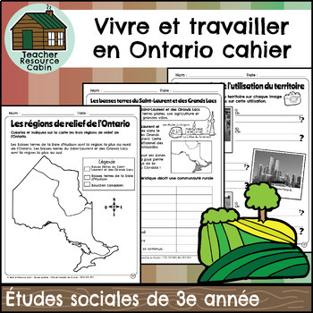
Vivre et travailler en Ontario cahier (Grade 3 FRENCH Social Studies)
This FRENCH workbook covers the Grade 3 Living and Working in Ontario unit in the NEW 2023 Ontario Social Studies curriculum (People and Environments).Ce cahier d'exercices couvre l'unité Vivre et travailler en Ontario de la 3e année du programme d'études sociales de l'Ontario 2023 (Communauté et environnement).In this workbook, students will learn many interesting things about Ontario. They will explore the provinces and territories of Canada through maps and descriptions. The workbook will tea
Subjects:
Grades:
3rd
Also included in: MEGA BUNDLE: Grade 3 Ontario FRENCH Social Studies Full Units
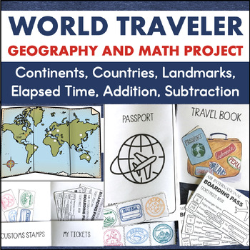
Country Research 3rd 4th Grade Math Geography Enrichment Project 7 Continents
This is a cross-curricular learning project that integrates social studies, math, geography, research, and writing. It is a great activity for the end of the year or enrichment any time!To complete this project, students travel to different continents as they take a world tour of six different countries. Through their travels, they will learn the location of these countries along with important facts about the culture. The countries students will visit and learn about include:AustraliaBrazilChin
Subjects:
Grades:
3rd - 4th
Also included in: Travel Project Bundle Country Research PBL STEM Challenges
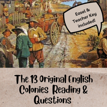
The 13 Original English Colonies Bundle Worksheet & Activities - Map & More!
Need a quick sub plan? Looking for small independent work? Hoping to break up the thirteen original colonies?This Bundle includes worksheets on the following:Southern Colonies- King James, John Rolfe, John Smith, Pocahontas, Powhatan Confederacy- Jamestown- Economy of the Southern colonies- Crossword Puzzle *ACTIVITY*Middle Colonies- William Penn, Quakers, Pennsylvania- Economy of the Middle colonies- Word bank, short answer *ACTIVITY*New England Colonies - In-depth understanding of the Puritan
Grades:
3rd - 8th
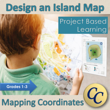
Design an Island Map A Coordinate Grid Project-Based-Learning Activity
Project based learning for coordinate graphing. Teach your students the basics of the coordinate system (or location on a grid) with this no-prep resource. Perfect for in class learning, remote learning, or supply teachers! Students are able to design their own island while learning about the coordinate system. ⏰ 2 or 3 classes of work for most students, but sometimes takes 4 depending on how much detail students add. (1 or 2 classes for the tutorial and practice map, 1 or 2 classes for designi
Subjects:
Grades:
1st - 3rd
NGSS:
2-ESS2-3
Also included in: Primary Project Based Learning Bundle Canadian
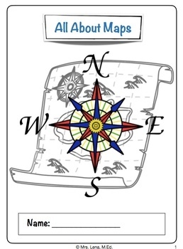
Map Skills Cardinal Directions and Spatial Reasoning Activities and Lesson
Maps ad Data Skills Lesson Plan aligned with SS.3.G.1.1 | SS.3.G.1.2 | SS.3.G.1.3 | SS.4.G.1.4 standards; perfect for teaching elementary geography and spatial reasoning skills, cardinal directions, continents and oceans, map coordinates, and more. Printable & Nearpod (integrates with Google Classroom)⭐️ Bundle & Save ⭐️Purchase 4th Grade Florida Science Year Long Curriculum Bundleand get this lesson PLUS all other fourth grade units. This unit includes: Collaborative Board Lesson object
Grades:
3rd - 5th
Also included in: 4th Grade Florida B.E.S.T. Science Year Long Curriculum 345 Page Bundle
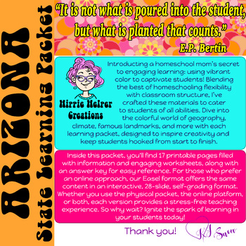
Arizona Learning Packet
LEARNING PACKETDiscover Arizona’s wonders with our vibrant learning packet! Uncover state symbols, facts, and more; enhanced by the power of color for engaging and memorable lessons.Description:Explore the rich history and culture of Arizona with our comprehensive teaching packet! Available in both PDF and Easel formats, this resource is designed to engage students through a variety of activities. Packed with engaging curriculum content and interactive worksheets including word searches, fill-in
Grades:
3rd - 6th
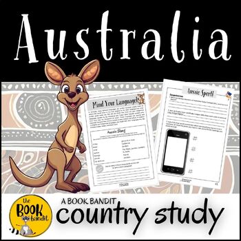
AUSTRALIA Country Study
This 40 page resource is a student resource all about Australia and is suitable for elementary and primary school aged children. The resource includes information over a wide range of topics with engaging questions and activities to go alongside them. Information to complete the activities is in the resource.Topics includeAustralian MapAustralia ProfileAustralia - General KnowledgeAustralian HistoryIndigenous AustraliansLanguage and slangMoneyBoomerangsWildlifeSportNational IconsNational Treasur
Grades:
3rd - 6th
Also included in: TOM APPLEBY CONVICT BOY Novel Study and AUSTRALIA Country Study
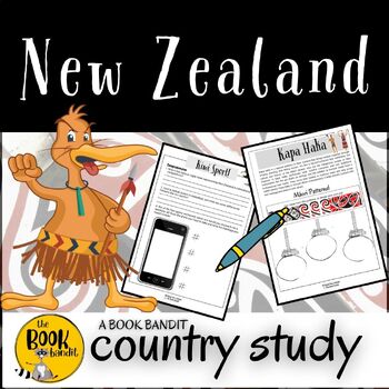
NEW ZEALAND Country Study
This 42 page NO-PREP resource is a student resource all about New Zealand and is suitable for elementary and primary school aged children. The resource includes information over a wide range of topics with engaging questions and activities to go alongside them. Topics include:New Zealand MapNew Zealand - General Knowledge and profileNew Zealand HistoryIndigenous New ZealandersLanguage and slangFlagLegendsFamous New ZealandersKiwisWildlifeSportNational IconsNational TreasuresTourist ActivitiesOpp
Subjects:
Grades:
3rd - 6th
South Carolina Learning Packet
LEARNING PACKETDiscover South Carolina’s wonders with our vibrant learning packet! Uncover state symbols, facts, and more; enhanced by the power of color for engaging and memorable lessons.Description:Explore the rich history and culture of South Carolina with our comprehensive teaching packet! Available in both PDF and Easel formats, this resource is designed to engage students through a variety of activities. Packed with engaging curriculum content and interactive worksheets including word sea
Grades:
3rd - 6th
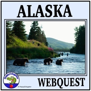
Alaska Webquest with Easel Activity
Alaska Study Webquest. Students must answer 10 basic questions about the state of Alaska. Includes a list of safe websites for researching the questions. Questions are about location, climate, demographics, resources, etc. Bonus Iditarod sled racing webquest has 10 questions with a website to use for a guide. Students can complete as a webquest or do research to find the answers. Answer key for the teacher is included, which can be used as a guide for class discussion as well. Also includes a 2
Grades:
3rd - 6th
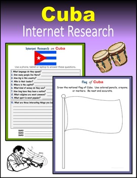
Cuba - Internet Research
24 printable or digital pages to engage your students in Internet Research on Cuba. Students use a phone, tablet or laptop to search online about the people of Cuba: language,customs,flag,coat of arms,coins and paper currency,mountains,rivers,wild animals,leadership and politics,national anthem,history,sports,famous people,and more...PRINT: I created a PDF version that you can download on your computer and print for students to use in class or at home. Click on "Add one to cart" and download yo
Grades:
3rd - 10th
Also included in: The Caribbean Internet Research BUNDLE
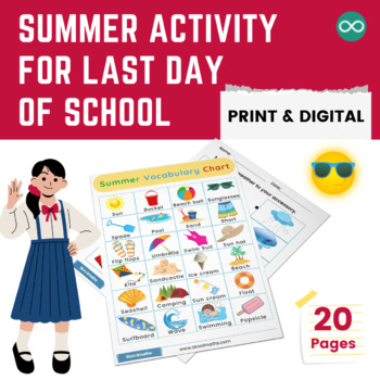
Complete Summer Activity Bundle for Last Day of School
Summer Activity for Last Day of SchoolIt is almost the end of the school year! You can still get your learners engaged with these amazing end-of-the-year worksheets. Kindergarten to 3rd Grade learners can explore the different kinds of weather with our printable weather worksheets that will provide them with ample learning opportunities. These science worksheets come packed with vibrant charts and engaging activities like weather word search, dressing up for the weather, identifying the weather
Subjects:
Grades:
K - 3rd
Identify and Compare Our Communities: Urban Suburban and Rural NO Prep Pack
Learn how to identify and compare different types of communities: Urban, Suburban and Rural. 3rd and 4th Grade Social Studies LessonLesson Objectives:Define, compare and contrast different types of communitiesCharacteristics of different communitiesWhat makes a good community? Matching activityPost lesson activitiesCreating a neighborhood mapCommunity as a social unitHere’s what teachers just like you are saying about this resource:⭐️⭐️⭐️⭐️⭐️ Tiffany's Teaching Tricks says, "Nice product. Thank
Grades:
2nd - 5th
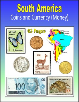
South America - Coins and Currency (Money)
63 printable or digital pages to introduce your students to the coins, currency (paper money) and postage stamps of South America. Students explore Argentina, Bolivia, Brazil, Chile, Colombia, Ecuador, Peru, Uruguay and Venezuela. Each page asks students to describe the words, pictures and numbers that they see on the stamp, coin or currency. Learn about... pesos, sucres, centesimos, decimos, bolivares, and more... PRINT: I created a PDF version that you can download on your computer and print
Subjects:
Grades:
3rd - 10th
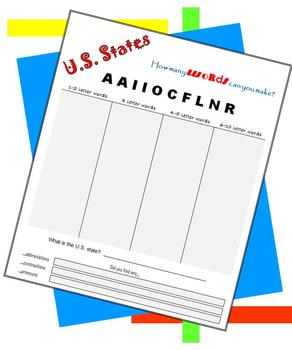
Friday Fun - US States - How many words can you make?
Make abbreviations, contractions, pronouns, one-syllable words and multi-syllable words using the letters of the 50 US states. How to play: Students unscramble a set of letters to spell each state’s name. Every US state is represented in this packet. Students begin this series with the shorter state names (Iowa, Ohio, Texas) and work toward the longer names (Washington, South Carolina, West Virginia). Students try to find as many words as they can, with special attention to abbreviations, c
Subjects:
Grades:
3rd - 8th
Also included in: USA BUNDLE
The South EASEL and PDF Differentiated US Geography Social Studies Workbook
This is my North American Geography Workbook Unit 2 of 4. Unit 2 covers The South/Southern region of the United States. These are great for Social Studies and content-based literacy in ELA. Do you need something students can do independently?Need printable AND digital options?Differentiated resources at the 3rd-8th grade level?Want a way to integrate literacy into your Social Studies classroom (or content-based writing into English class)? Look no further! You get both the digital, Easel and PDF
Subjects:
Grades:
3rd - 8th
Midwest and Great Plains EASEL/PDF Differentiated US Geography Workbook
This is my North American Geography Workbook Unit 3 of 4. Unit 3 covers The Midwest and Great Plains regions of the United States. Perfect for your Social Studies or content-based ELA classroom. Do you need something students can do independently?Need printable AND digital options?Differentiated resources at the 3rd-8th grade level?Want a way to integrate literacy into your Social Studies classroom (or content-based writing into English class)? Look no further! You get both the digital, Easel an
Subjects:
Grades:
3rd - 8th
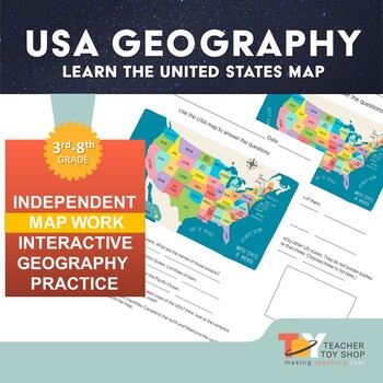
United States Geography Activity Worksheet print version
This is a great worksheet to give students an overview of the United States map. This works as an introduction or a review of the geography of the United States of America with an emphasis on states, borders, oceans and reading directions on a compass rose.Great for distance learning or remote learning as this is self-directed work. If you need this item in a format for Google Slides, please access that here.#TeacherToyShop #DistanceLearning #RemoteLearningYou may also be interested in t
Grades:
3rd - 8th
Also included in: United States Geography | Distance Learning
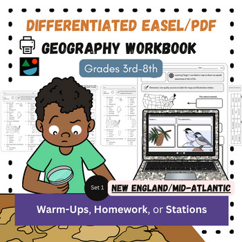
New England and Mid-Atlantic EASEL and PDF Differentiated US Geography Workbook
This is my North American Geography Workbook Unit 1 of 4. Unit 1 covers The New England and Mid-Atlantic regions of the United States. These are great for Social Studies and content-based literacy in ELA. Do you need something students can do independently?Need printable AND digital options?Differentiated resources at the 3rd-8th grade level?Want a way to integrate literacy into your Social Studies classroom (or content-based writing into English class)? Look no further! You get both the digital
Subjects:
Grades:
3rd - 8th
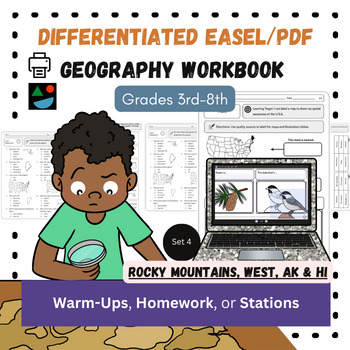
Rocky Mountains, West, AK/HI EASEL and PDF Differentiated US Geography Workbook
This is my North American Geography Workbook Unit 4 of 4. Unit 4 covers The Rocky Mountain, The West Coast, Southwest regions of the United States (plus Alaska and Hawaii). Do you need something students can do independently?Need printable AND digital options?Differentiated resources at the 3rd-8th grade level?Want a way to integrate literacy into your Social Studies classroom (or content-based writing into English class)? Look no further! You get both the digital, Easel and PDF workbook that in
Subjects:
Grades:
3rd - 8th
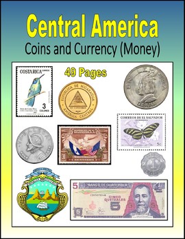
Central America - Coins and Currency (Money)
49 printable or digital pages to introduce your students to the coins, currency (paper money) and postage stamps of Central America: Belize, Costa Rica, El Salvador, Guatemala, Honduras, Nicaragua and Panama. Each page asks students to describe the words, pictures and numbers that they see on the stamp, coin or currency: centavos, centimos, colones, pesos, cents, dollars, cordobas, lempiras, quetzales.PRINT: I created a PDF version that you can download on your computer and print for students
Grades:
3rd - 10th
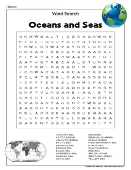
Word Search Puzzle - Oceans and Seas - Grades 3-5 - Fun Geography Activity!
This word search puzzle is titled "Oceans and Seas". Kids practice reading and spelling skills while looking for names of the oceans and seas of the world!This puzzle uses a 18 x 18 grid and has 20 words to search for. Words in this puzzle include names of oceans and seas around the world.Words read from left to right and top to bottom, with a few diagonals reading from left to right. It should be challenging but not too difficult for most 3rd- through 5th-graders.Answer key is included.** Thi
Subjects:
Grades:
3rd - 5th
Showing 1-24 of 34 results


