34 results
9th grade geography resources for Easel Assessments
Deforestation - Global Issues
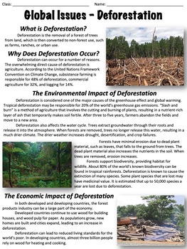
This worksheet covers the issue of deforestation. An optional, ten-question multiple-choice worksheet is included. The worksheet is divided into the following sections:What is deforestation?Why does deforestation occur?The environmental impact of deforestationThe economic impact of deforestationDeforestation ratesHealth concernsCan deforestation be slowed or stopped?There are two extended response questions:What do you think the best method is to reduce deforestation and why? What can individual
Grades:
6th - 9th
Types:
Also included in: Global Issues Bundle
Water Scarcity - Global Issues
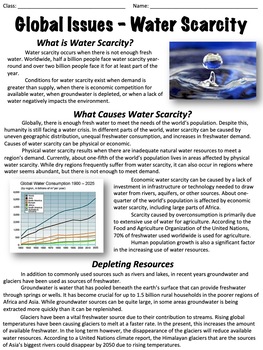
This worksheet covers water scarcity, including its causes, impact, and more. An optional worksheet with ten multiple-choice questions is included.The worksheet is divided into the following sections: What is water scarcity?What causes water scarcity?Depleting resourcesImpact on the environmentThreats posed by water scarcityWhat can be done?At the end there are two extended response questions:Where you live, how concerned are you with water scarcity? Why?What do you think would happen if a major
Grades:
6th - 9th
Types:
Also included in: Global Issues Bundle
Latitude and Longitude Activities | Map Skills Worksheets Posters Presentation
Learning about latitude and longitude is fun and easy with this resource bundle! This ready-to-use no prep value bundle teaches students about latitude and longitude, the hemispheres of the world, major lines of latitude and longitude (Equator, Prime Meridian, Tropic of Cancer and Capricorn, Arctic and Antarctic Circle), and finding locations using geographic coordinates! This bundle includes: Four handouts introducing latitude and longitude, the world's hemispheres, absolute and relative locati
Grades:
5th - 9th
Types:
CCSS:
Overpopulation - Global Issues
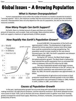
This worksheet covers human overpopulation and the challenges and issues it can create. It includes an optional worksheet with ten multiple-choice questions. The worksheet is divided into the following sections:What is human overpopulation?How many people can Earth support?How rapidly has Earth's population grown?Causes of population growthProjecting population growthNegative effects of overpopulationWhat can be done about overpopulation?At the end, there are two extended response questions:Do y
Subjects:
Grades:
8th - 10th
Types:
Also included in: Global Issues Bundle
Weather and Climate - Text and Exercise Sheets
Weather is the state of the atmosphere in a certain place at a certain time. Weather always changes and is different all around the world. It depends on many elements . It may be warm and sunny in one place, but cold, windy and rainy somewhere else.Climate refers to the weather conditions in a certain area over a longer period of time.Contents : 16 pagesIntroductionElements of the weatherTemperatureAir pressureHumidityPrecipitationGlobal wind systemsAir massesClimate ZonesWeather forecastingExt
Subjects:
Grades:
6th - 12th, Higher Education, Adult Education
Types:
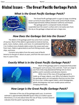
The Great Pacific Garbage Patch - Global Issues - Ocean Pollution
This worksheet covers the issue of pollution in the oceans and specifically, the Great Pacific garbage patch. An optional worksheet with ten multiple-choice questions is included. The worksheet is divided into the following sections:What is the Great Pacific garbage patch?How does the garbage get into the ocean?What is in the Great Pacific garbage patch?How large is the Great Pacific garbage patch?What risks does the garbage patch pose for animals and humans?Is it possible to clean up the Great
Subjects:
Grades:
6th - 9th
Types:
Also included in: Global Issues Bundle
Disappearing Bees - Global Issues
This worksheet covers the recent disappearance of honey bees due to colony collapse disorder. An optional, ten-question multiple-choice worksheet is included. The worksheet is broken into the following sections: What is colony collapse disorder?A history of colony collapse disorderSigns of colony collapse disorderPossible causes of colony collapse disorderCan colony collapse disorder be prevented?At the end of the text, there are three extended response questions:In your opinion, what would you
Grades:
6th - 9th
Types:
Also included in: Global Issues Bundle
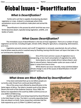
Desertification - Global Issues
This worksheet covers the issue of desertification. An optional ten-question multiple-choice worksheet is included. The worksheet is divided into the following sections:What is desertification?What causes desertification?What areas are most affected by desertification?Desertification and povertyCan desertification be prevented or reversed?At the end, there are two extended response questions:What do you think the best method is for preventing desertification and why?In the near future, do you th
Grades:
6th - 9th
Types:
Also included in: Global Issues Bundle
If The World Were A Village Of 100 People. Global Issues. PPTx. Quiz.
Students watch a classic video or view the pptx highlighting statistics about the world we live in. (Not the David Smith 25min DVD which is copyrighted). 1. Students discuss in groups and fill in, guessing what the statistics are for the world. Explain the concept of "If the world were a village of 100 people". 2. Students fill in pie charts with their own categories and guesses. Share thoughts. 3. Students watch the video. Click play. They record the correct answers and check their guesses. If
Subjects:
Grades:
5th - 12th, Higher Education, Adult Education
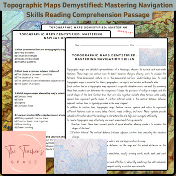
Topographic Maps Demystified: Mastering Navigation Skills Reading Comprehension
Topographic Maps Demystified: Mastering Navigation Skills Reading Comprehension PassageUnlock the secrets of topographic maps with our comprehensive resource, "Topographic Maps Demystified: Mastering Navigation Skills." This engaging package equips students with the knowledge and confidence needed to interpret and navigate through diverse terrains.Key Features:Informative Reading Passage: Dive into a rich reading passage that meticulously breaks down the fundamentals of reading topographic maps.
Subjects:
Grades:
3rd - 9th
Types:
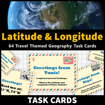
Latitude and Longitude Task Cards Map Skills Activity World and US Cities
Learning about latitude and longitude and is fun and easy with these task cards! 64 travel themed task cards are provided and help your students develop map skills and a stronger understanding of world and U.S. geography. This task card set includes: 20 task cards that include the coordinates of world cities and ask students to identify them20 task cards that feature world cities and ask students to identify their coordinates 12 task cards that include the coordinates of United States cities and
Grades:
5th - 9th
Types:
CCSS:
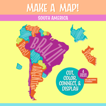
South America Geography Activity | Interactive Bulletin Board Continent Project
A South America map that you build as a giant wall map! This is a fantastic method to learn the South American countries. Both English and Spanish versions are included. When finished, you'll have a gorgeous map on display, clearly showing the South America countries. Your students can research a South American country, decorate each country, assemble the South American continent on your bulletin board or wall, and they will be all ready for a geography quiz.The finished map is HUGE: the contigu
Subjects:
Grades:
6th - 9th
CCSS:
NGSS:
MS-ESS2-3
, MS-LS2-2
, MS-ESS2-2
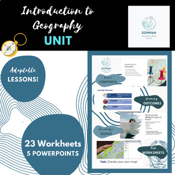
Introduction to Geography unit/module
This module covers the key topics of maps, continents, countries, compass skills, latitude and longitude, and different types of geography. I'll also include engaging hands-on activities like map making, recalls, coordinates, map labelling, reflections and word fills to make the lessons interactive and memorable for students.Firstly , we'll explore different types of geography, such as human geography, physical geography, and cultural geography. Students will engage in hands-on activities like m
Subjects:
Grades:
7th - 10th, Staff
Olympic Project. Countries. Sports. Research. Quiz. Assessment. ESL. EFL. ELA.
Here is a new version for the Tokyo Olympics of my popular Olympic Project.Students in small groups/pairs research an Olympic country and present to the class. They follow their country and report back on medal standings. 16 country sheets all prepared. Use the CIA World Factbook or Stratfor Geography videos as additional resources for research by students. *** Also includes an assessment for student to identify Olympic sports with an online quiz you can assign and get student results. *** Incl
Grades:
4th - 12th, Adult Education
Types:
Ancient China Map Skills Activity Silk Road Latitude and Longitude Task Cards
Learning about the Silk Road and Ancient China while improving latitude and longitude map skills is fun and easy with these task cards! 24 tasks cards are provided and feature notable cities along the Silk Road. This activity helps your students develop map skills and a stronger understanding of the geography of the Silk Road! This activity is an excellent way to reinforce your ancient civilizations lessons about the Silk Road and Ancient China. This task card set includes: 12 task cards that fe
Grades:
6th - 9th
Types:
Changing Racial Makeup of the US: Analyze Census Data with a Map Skills Lesson
I use this ready-to-go lesson and activity as a larger part of a middle or high school social studies lesson on diversity and American identity. Using data compiled from 2010 and 2020 United States Census Bureau and The New York Times, you and your students can look more closely at the shifting racial and ethnic makeup of the United States over the past forty years. This resource includes the following features:Includes Both Print & Digital Version (PDF & Google Workspace)Teacher's Notes
Grades:
8th - 11th
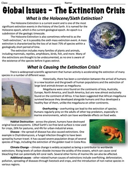
The Extinction Crisis - Global Issues
This worksheet covers the extinction crisis, also known as the Holocene Extinction or the Sixth Extinction. An optional worksheet with ten multiple-choice questions is included.The worksheet is divided into the following sections: What is the Holocene/Sixth Extinction?What is causing the extinction crisis?Historic extinctionsSpecies threatened todayCan anything be done to prevent extinctions?At the end there are two extended response questions:Were you surprised by the seriousness of the extinct
Grades:
6th - 9th
Types:
Also included in: Global Issues Bundle
Natural Disasters. Vocabulary. Weather. Geography. ESL. Reading. ELLs. ELA.
Students learn the names of common natural disasters and discuss, define, explain. Includes:1. Online and printable flashcards (click the link to go to the professionally designed Quizlet set.2. A beautiful pptx, presenting each of 20 natural disasters. 3. Exercises. Watch the video and then do the exercises (answer keys). Labeling and reading. See our other natural disaster vocabulary lesson resource. ESL, EFL, ESOL, worksheets, disasters, environment, nature, learning English, printables, tea
Subjects:
Grades:
4th - 12th, Higher Education, Adult Education
Introduction to Mapping and GIS Presentation and Assessment
This presentation introduces key concepts and considerations in mapping and GIS including: the history of mapping and its use todayan introduction to the benefits of data visualization and mapping types of mapsthe science of GIS and leading platforms the differences between raster and vector dataelements of map layerskey considerations when thinking about creating a mapAlso included is an interactive digital Easel assessment that can be used to gauge student learning before or after the lesson.
Grades:
7th - 12th, Higher Education, Adult Education
Also included in: Graphic Design Growing Bundle
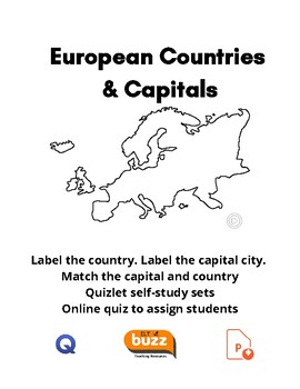
Countries & Capitals Of Europe. Geography. Digital. Assessment. ESL. EFL.
This set of lesson materials gives students full practice learning the names of all the cities (capitals) and countries of Europe. 1. Full PPTx of all the capital cities with descriptions. Also, optional video version. Click the icon on the cover page to download seperately. 2. 2 maps for labeling - one for countries. One for cities. 2. What is the capital city matching activity. Answer key. 3. Quizlet study set. Label the map and flashcards. Click the Q icon link to use. 4. Easel Assessment. 1
Subjects:
Grades:
4th - 12th, Higher Education, Adult Education
Types:
Landforms. Geography. Vocabulary. ELA. PPTx. ESL. EFL. Printables.
A full set of materials to teach and talk about the incredible landforms found on earth. Includes.1. PPTx. Beautiful images. Play online or download the pptx. Click the links on the cover.2. Landforms video. click the play button to access. Transcript. Cut up and use each as a card. Students read out not saying the name and others must guess the type of landform. 3. Online Flashcards. Professionally designed flashcard set for student self-study.4. Flashcards, matching. Match, write the names, c
Subjects:
Grades:
4th - 12th, Higher Education, Adult Education
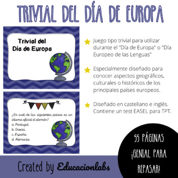
Trivial del Día de Europa / EU Trivial in Spanish
Trivia game to be used during "Europe Day" celebrated on 5 May by the Council of Europe and on 9 May by the European Union. It can also be used as an activity to learn about geographical, historical or cultural aspects of the main European countries.It includes 55 cards in Spanish (English version freebie) and can be used in its printable or digital version. Specially designed to work in cooperative or collaborative groups in a fun and entertaining way.Juego tipo trivial con tarjetas para utiliz
Subjects:
Grades:
4th - 12th, Higher Education, Adult Education
Australian History Trivia Quiz Powerpoint + Free crossword
The Australian History Trivia Quiz is a collection of questions that test your knowledge about the history of Australia. The quiz covers a wide range of topics related to Australia's history. Participants may be asked to identify significant events or individuals in Australian history, answer multiple-choice questions, or provide short written answers. The quiz is suitable for anyone who wants to test their knowledge of Australian history, including students, educators, history enthusiasts, and
Subjects:
Grades:
K - 12th, Higher Education, Adult Education, Staff
Geography : A "Mindbender's" Game of Canada for grades 6 on up.
A "Mindbender's" Game of Canada:Become an expert about the geography of Canada simply by playing a game! *Includes a map of Canada for reference and to color (colored pencils are recommended). A great way to familiarize your students with the geography of Canada. “Highly engaging!” · 14 questions that can be used at the beginning or end of class sessions (one or two questions at a time) or for an entire class session (all questions), or as a game where the students are divided into small groups
Subjects:
Grades:
7th - 10th
Types:
CCSS:
Showing 1-24 of 34 results

