120 results
12th grade geography activboard activities
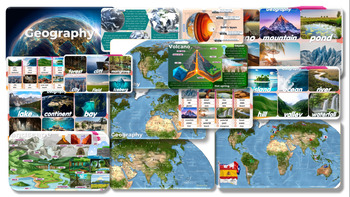
Geography: Editable PowerPoint Slides forTeaching
Geography Volcano-Mountain-pond-desert-beach-glacier-island-ocean-river-hill-valley-waterfall-lake-continent-bay-cave-coral reef-oasis-forest-cliff-mangrove-city-field-iceberg PowerPoint Slides for Teachinginformation and pictures Can play activities during class, increasing interest in learning and teaching of teachers.
Grades:
7th - 12th, Staff
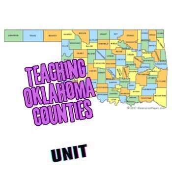
Teaching the Counties of Oklahoma UNIT
Here is everything you need to help your class learn the 77 counties of Oklahoma! Lots of blood, sweat, and tears went into this unit so enjoy simply downloading it instead! Included in this file are:-a Master schedule of short counties quizzes and answer keys, ready for print (I give these to students at the beginning of the semester and have them put them in the front of their 3-ring binder.)-77 images of highlighted counties optimized for a KAHOOT! game (always a big hit!)-Final test answer s
Subjects:
Grades:
9th - 12th

Plan a Family Vacation--$5,000 Budget
Students will have fun with this real life budgeting lesson as they plan their very own family vacation. Students must budget for the family members that live in their household, and must stay with a $5,000 limit. There is a Presentation to discuss all the rules and an excel sheet to help with their totals. As they plan their trip students can create a PowerPoint or a Google Slide that documents their itinerary. The presentation needs to include all expenses and their total cost of the trip
Subjects:
Grades:
4th - 12th
Types:
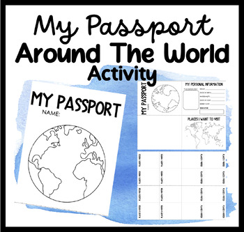
My Passport | Around The World Activity | Places I Want To Go & Visit
Embark on a Global Adventure with Our Student Passport Activity!Are you ready to take your students on an exciting journey around the world? Introducing our Student Passport Activity, where students can create their very own passports, explore different countries, and experience the wonders of the world right in your classroom!Why Choose Our Student Passport Activity?Personalized Passport Creation: Our activity allows students to unleash their creativity by designing and customizing their own pa
Grades:
PreK - 12th, Higher Education, Adult Education, Staff
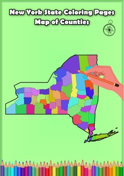
New York State Coloring Pages Map of Counties Highlighting Rivers Lakes Cities
Click Here>>> for more interactive resourcesNew York State Coloring Pages Map of Counties Highlighting Rivers Lakes CitiesOpen your mind to New York colorful adventure with these exciting coloring pages! Explore and bring each New York county to life with these detailed and engaging illustrations. Each page offers a unique opportunity to explore Alabama's geography, highlighting its rivers, lakes, and key towns.These coloring pages are ideal for anyone interested in discovering the beau
Grades:
PreK - 12th, Higher Education
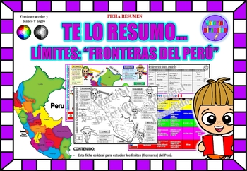
FICHA RESUMEN - Te lo Resumo... "Fronteras del Perú" (IMPRIMIBLES) |GEOGRAFÍA|
A sus estudiantes les encantará esta ficha resumen sobre "Los Tratados Limítrofes del Perú". Esta hoja incluye pequeños datos de los tratados limítrofes: Protocolo de Rio de Janeiro, Tratado Salomón-Lozano, Tratado Velarde-Rio Branco, Tratado Rectificación de Fronteras “Polo-Bustamante” y Tratado de Lima. Esta hoja resumen es perfecta para revisión, una actividad rápida, un proyecto de investigación, un organizador gráfico, centros, proyectos de toda la clase o proyectos de equipo. Los estudiant
Grades:
1st - 12th, Higher Education, Adult Education
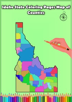
Idaho State Coloring Pages Map of Counties Highlighting Rivers Lakes Cities
Click Here>>> for more interactive resourcesIdaho State Coloring Pages Map of Counties Highlighting Rivers Lakes CitiesOpen your mind to Idaho colorful adventure with these exciting coloring pages! Explore and bring each Idaho county to life with these detailed and engaging illustrations. Each page offers a unique opportunity to explore Alabama's geography, highlighting its rivers, lakes, and key towns.These coloring pages are ideal for anyone interested in discovering the beauty and ge
Grades:
PreK - 12th, Higher Education
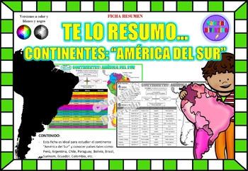
FICHA RESUMEN - Te lo Resumo... "América del Sur" (IMPRIMIBLES) |GEOGRAFÍA|
A sus estudiantes les encantará esta ficha resumen sobre "Los Continentes: América del Sur". Esta hoja incluye pequeños datos del hombre de: Perú, Chile, Argentina, Brasil, Paraguay, Venezuela, etc. Esta hoja resumen es perfecta para revisión, una actividad rápida, un proyecto de investigación, un organizador gráfico, centros, proyectos de toda la clase o proyectos de equipo. Los estudiantes pueden divertirse mientras aprenden todo sobre el continente de América del Sur. ¡Esta hoja resumen es pe
Grades:
PreK - 12th, Higher Education, Adult Education
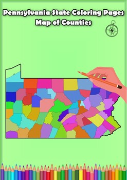
Pennsylvania State Coloring Pages Map of Counties Highlighting Rivers Lakes City
Click Here>>> for more interactive resourcesPennsylvania State Coloring Pages Map of Counties Highlighting Rivers Lakes CitiesOpen your mind to Pennsylvania colorful adventure with these exciting coloring pages! Explore and bring each Pennsylvania county to life with these detailed and engaging illustrations. Each page offers a unique opportunity to explore Alabama's geography, highlighting its rivers, lakes, and key towns.These coloring pages are ideal for anyone interested in discover
Grades:
PreK - 12th, Higher Education
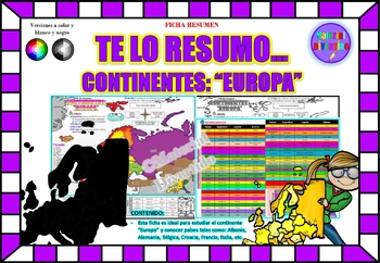
FICHA RESUMEN - Te lo Resumo... "Europa" (IMPRIMIBLES) |GEOGRAFÍA|
A sus estudiantes les encantará esta ficha resumen sobre "Los Continentes: Europa". Esta hoja incluye pequeños datos del hombre de: Albania, Alemania, Bélgica, Croacia, Francia, Italia, etc. Esta hoja resumen es perfecta para revisión, una actividad rápida, un proyecto de investigación, un organizador gráfico, centros, proyectos de toda la clase o proyectos de equipo. Los estudiantes pueden divertirse mientras aprenden todo sobre el continente de Europa. ¡Esta hoja resumen es perfecta para prese
Grades:
PreK - 12th, Higher Education, Adult Education
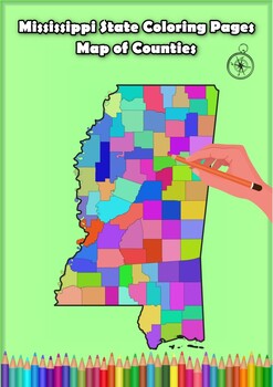
Mississippi State Coloring Pages Map of Counties Highlighting Rivers Lakes Citie
Click Here>>> for more interactive resourcesMississippi State Coloring Pages Map of Counties Highlighting Rivers Lakes CitiesOpen your mind to Mississippi colorful adventure with these exciting coloring pages! Explore and bring each Mississippi county to life with these detailed and engaging illustrations. Each page offers a unique opportunity to explore Alabama's geography, highlighting its rivers, lakes, and key towns.These coloring pages are ideal for anyone interested in discovering
Grades:
PreK - 12th, Higher Education
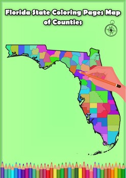
Florida State Coloring Pages Map of Counties Highlighting Rivers Lakes Cities
Click Here>>> for more interactive resourcesFlorida State Coloring Pages Map of Counties Highlighting Rivers Lakes CitiesOpen your mind to Florida colorful adventure with these exciting coloring pages! Explore and bring each Florida county to life with these detailed and engaging illustrations. Each page offers a unique opportunity to explore Alabama's geography, highlighting its rivers, lakes, and key towns.These coloring pages are ideal for anyone interested in discovering the beauty
Grades:
PreK - 12th, Higher Education
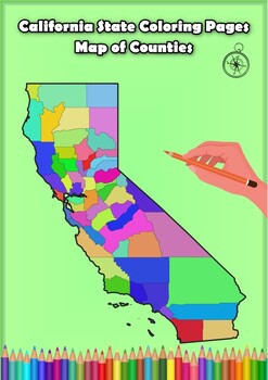
California State Coloring Pages Map of Counties Highlighting Rivers Lakes Cities
Click Here>>> for more interactive resourcesCalifornia State Coloring Pages Map of Counties Highlighting Rivers Lakes CitiesOpen your mind to California colorful adventure with these exciting coloring pages! Explore and bring each California county to life with these detailed and engaging illustrations. Each page offers a unique opportunity to explore Alabama's geography, highlighting its rivers, lakes, and key towns.These coloring pages are ideal for anyone interested in discovering th
Grades:
PreK - 12th, Higher Education
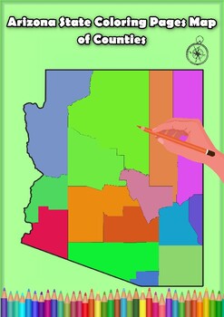
Arizona State Coloring Pages Map of Counties Highlighting Rivers Lakes Cities
Click Here>>> for more interactive resourcesArizona State Coloring Pages Map of Counties Highlighting Rivers Lakes CitiesOpen your mind to Arizona colorful adventure with these exciting coloring pages! Explore and bring each Arizona county to life with these detailed and engaging illustrations. Each page offers a unique opportunity to explore Alabama's geography, highlighting its rivers, lakes, and key towns.These coloring pages are ideal for anyone interested in discovering the beauty
Grades:
PreK - 12th, Higher Education
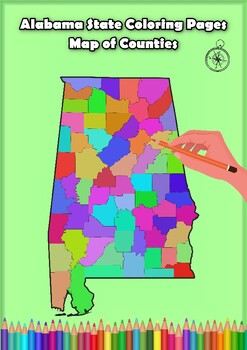
Alabama State Coloring Pages Map of Counties Highlighting Rivers Lakes Cities
Click Here>>> for more interactive resourcesAlabama State Coloring Pages Map of Counties Highlighting Rivers Lakes CitiesOpen your mind to Alabama colorful adventure with these exciting coloring pages! Explore and bring each Alabama county to life with these detailed and engaging illustrations. Each page offers a unique opportunity to explore Alabama's geography, highlighting its rivers, lakes, and key towns.These coloring pages are ideal for anyone interested in discovering the beauty
Grades:
PreK - 12th, Higher Education
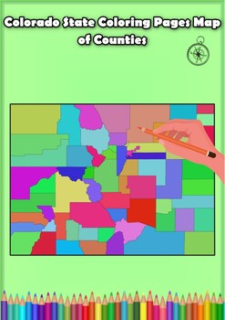
Colorado State Coloring Pages Map of Counties Highlighting Rivers Lakes Cities
Click Here>>> for more interactive resourcesColorado State Coloring Pages Map of Counties Highlighting Rivers Lakes CitiesOpen your mind to Colorado colorful adventure with these exciting coloring pages! Explore and bring each Colorado county to life with these detailed and engaging illustrations. Each page offers a unique opportunity to explore Alabama's geography, highlighting its rivers, lakes, and key towns.These coloring pages are ideal for anyone interested in discovering the beau
Grades:
PreK - 12th, Higher Education
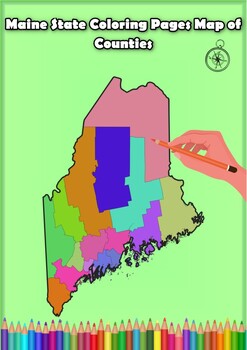
Maine State Coloring Pages Map of Counties Highlighting Rivers Lakes Cities
Click Here>>> for more interactive resourcesMaine State Coloring Pages Map of Counties Highlighting Rivers Lakes CitiesOpen your mind to Maine colorful adventure with these exciting coloring pages! Explore and bring each Maine county to life with these detailed and engaging illustrations. Each page offers a unique opportunity to explore Alabama's geography, highlighting its rivers, lakes, and key towns.These coloring pages are ideal for anyone interested in discovering the beauty and ge
Grades:
PreK - 12th, Higher Education
January Holidays Around the World
Teacher's Guide: January Holidays Around the World - Read and Respond ActivityObjective: The objective of this activity is to familiarize middle-grade students with various January holidays celebrated around the world. The focus is on cultural diversity, traditions, and the significance of these holidays. The activity involves reading a passage, answering multiple-choice questions, and responding to an open-ended question to encourage critical thinking.Materials Needed:Printed copies of the read
Subjects:
Grades:
5th - 12th
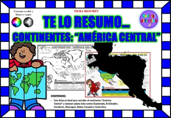
FICHA RESUMEN - Te lo Resumo... "América Central" (IMPRIMIBLES) |GEOGRAFÍA|
A sus estudiantes les encantará esta ficha resumen sobre "Los Continentes: América Central". Esta hoja incluye pequeños datos del hombre de: Guatemala, El Salvador, Honduras, Nicaragua, Belice, Panamá y Costa Rica. Esta hoja resumen es perfecta para revisión, una actividad rápida, un proyecto de investigación, un organizador gráfico, centros, proyectos de toda la clase o proyectos de equipo. Los estudiantes pueden divertirse mientras aprenden todo sobre el continente de América Central. ¡Esta ho
Grades:
PreK - 12th, Higher Education, Adult Education
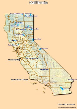
Map of rivers and map of lakes in the state of California, USA
Map of rivers and map of lakes in the state of California, USAThis material gives you two specific maps, one for rivers and one for lakes, which provide an engaging way of learning about geography.Rivers Map: This map shows the major rivers in California. Using a blank map, students can fill in river names on the blank map, developing their geography and mapping skills.Lakes Map: Discover the largest lakes in the state of California. Using this blank map, students will be able to identify and ma
Grades:
5th - 12th, Higher Education
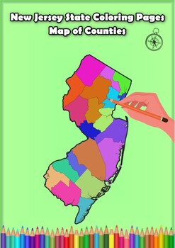
New Jersey State Coloring Pages Map of Counties Highlighting Rivers Lakes Cities
Click Here>>> for more interactive resourcesNew Jersey State Coloring Pages Map of Counties Highlighting Rivers Lakes CitiesOpen your mind to New Jersey colorful adventure with these exciting coloring pages! Explore and bring each New Jersey county to life with these detailed and engaging illustrations. Each page offers a unique opportunity to explore Alabama's geography, highlighting its rivers, lakes, and key towns.These coloring pages are ideal for anyone interested in discovering th
Grades:
PreK - 12th, Higher Education
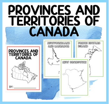
PROVINCES AND TERRITORIES OF CANADA | BOOKLET
Engage Your Students with Our Captivating "Discover Canada" Booklet! Are you searching for an interactive and educational resource to teach your students about the provinces and territories of Canada? Look no further! Our "Discover Canada" booklet is the perfect tool to spark curiosity and promote learning in your classroom.Here's what our captivating booklet offers: Detailed Exploration: Take your students on a journey across Canada as they dive into the rich and diverse landscape of our beauti
Subjects:
Grades:
PreK - 12th, Higher Education, Adult Education, Staff
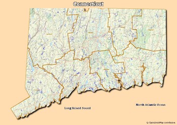
Map of rivers and map of lakes in the state of Connecticut, USA
Map of rivers and map of lakes in the state of Connecticut, USAThis material gives you two specific maps, one for rivers and one for lakes, which provide an engaging way of learning about geography.Rivers Map: This map shows the major rivers in Connecticut. Using a blank map, students can fill in river names on the blank map, developing their geography and mapping skills.Lakes Map: Discover the largest lakes in the state of Connecticut. Using this blank map, students will be able to identify and
Grades:
4th - 12th, Higher Education, Adult Education
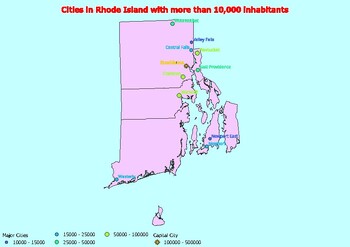
Map of large cities in the state of Rhode Island ranked by population
Click Here>>> click here to subscribe to our storeMap of large cities in the state of Rhode Island ranked by populationDiscover and explore cities in the state of Rhode Island with this exciting series of population-based maps!This resource contains three separate maps, each illustrating cities by different population categories. First, there is the map of cities with a population greater than 10,000, providing an overview of the many urban centers in the state. Then, the map of cities
Subjects:
Grades:
4th - 12th, Higher Education
Showing 1-24 of 120 results


