43 results
Adult education geography activboard activities
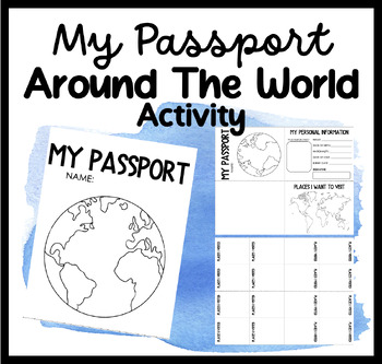
My Passport | Around The World Activity | Places I Want To Go & Visit
Embark on a Global Adventure with Our Student Passport Activity!Are you ready to take your students on an exciting journey around the world? Introducing our Student Passport Activity, where students can create their very own passports, explore different countries, and experience the wonders of the world right in your classroom!Why Choose Our Student Passport Activity?Personalized Passport Creation: Our activity allows students to unleash their creativity by designing and customizing their own pa
Grades:
PreK - 12th, Higher Education, Adult Education, Staff
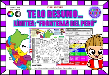
FICHA RESUMEN - Te lo Resumo... "Fronteras del Perú" (IMPRIMIBLES) |GEOGRAFÍA|
A sus estudiantes les encantará esta ficha resumen sobre "Los Tratados Limítrofes del Perú". Esta hoja incluye pequeños datos de los tratados limítrofes: Protocolo de Rio de Janeiro, Tratado Salomón-Lozano, Tratado Velarde-Rio Branco, Tratado Rectificación de Fronteras “Polo-Bustamante” y Tratado de Lima. Esta hoja resumen es perfecta para revisión, una actividad rápida, un proyecto de investigación, un organizador gráfico, centros, proyectos de toda la clase o proyectos de equipo. Los estudiant
Grades:
1st - 12th, Higher Education, Adult Education
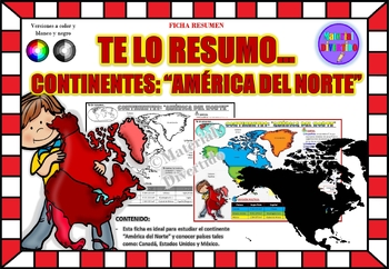
FICHA RESUMEN - Te lo Resumo... "América del Norte" (IMPRIMIBLES) |GEOGRAFÍA|
A sus estudiantes les encantará esta ficha resumen sobre "Los Continentes: América del Norte". Esta hoja incluye pequeños datos del hombre de: Canadá, Estados Unidos y México. Esta hoja resumen es perfecta para revisión, una actividad rápida, un proyecto de investigación, un organizador gráfico, centros, proyectos de toda la clase o proyectos de equipo. Los estudiantes pueden divertirse mientras aprenden todo sobre el continente de América del Norte. ¡Esta hoja resumen es perfecta para presentar
Grades:
PreK - 11th, Higher Education, Adult Education
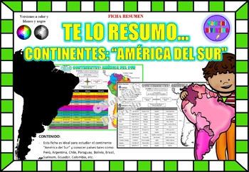
FICHA RESUMEN - Te lo Resumo... "América del Sur" (IMPRIMIBLES) |GEOGRAFÍA|
A sus estudiantes les encantará esta ficha resumen sobre "Los Continentes: América del Sur". Esta hoja incluye pequeños datos del hombre de: Perú, Chile, Argentina, Brasil, Paraguay, Venezuela, etc. Esta hoja resumen es perfecta para revisión, una actividad rápida, un proyecto de investigación, un organizador gráfico, centros, proyectos de toda la clase o proyectos de equipo. Los estudiantes pueden divertirse mientras aprenden todo sobre el continente de América del Sur. ¡Esta hoja resumen es pe
Grades:
PreK - 12th, Higher Education, Adult Education
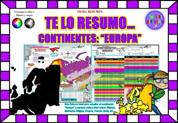
FICHA RESUMEN - Te lo Resumo... "Europa" (IMPRIMIBLES) |GEOGRAFÍA|
A sus estudiantes les encantará esta ficha resumen sobre "Los Continentes: Europa". Esta hoja incluye pequeños datos del hombre de: Albania, Alemania, Bélgica, Croacia, Francia, Italia, etc. Esta hoja resumen es perfecta para revisión, una actividad rápida, un proyecto de investigación, un organizador gráfico, centros, proyectos de toda la clase o proyectos de equipo. Los estudiantes pueden divertirse mientras aprenden todo sobre el continente de Europa. ¡Esta hoja resumen es perfecta para prese
Grades:
PreK - 12th, Higher Education, Adult Education
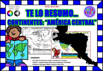
FICHA RESUMEN - Te lo Resumo... "América Central" (IMPRIMIBLES) |GEOGRAFÍA|
A sus estudiantes les encantará esta ficha resumen sobre "Los Continentes: América Central". Esta hoja incluye pequeños datos del hombre de: Guatemala, El Salvador, Honduras, Nicaragua, Belice, Panamá y Costa Rica. Esta hoja resumen es perfecta para revisión, una actividad rápida, un proyecto de investigación, un organizador gráfico, centros, proyectos de toda la clase o proyectos de equipo. Los estudiantes pueden divertirse mientras aprenden todo sobre el continente de América Central. ¡Esta ho
Grades:
PreK - 12th, Higher Education, Adult Education
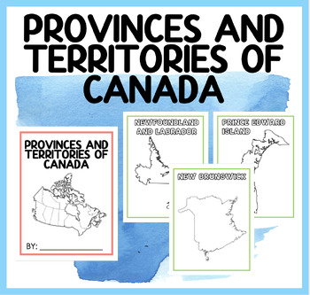
PROVINCES AND TERRITORIES OF CANADA | BOOKLET
Engage Your Students with Our Captivating "Discover Canada" Booklet! Are you searching for an interactive and educational resource to teach your students about the provinces and territories of Canada? Look no further! Our "Discover Canada" booklet is the perfect tool to spark curiosity and promote learning in your classroom.Here's what our captivating booklet offers: Detailed Exploration: Take your students on a journey across Canada as they dive into the rich and diverse landscape of our beauti
Subjects:
Grades:
PreK - 12th, Higher Education, Adult Education, Staff
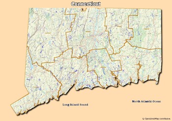
Map of rivers and map of lakes in the state of Connecticut, USA
Map of rivers and map of lakes in the state of Connecticut, USAThis material gives you two specific maps, one for rivers and one for lakes, which provide an engaging way of learning about geography.Rivers Map: This map shows the major rivers in Connecticut. Using a blank map, students can fill in river names on the blank map, developing their geography and mapping skills.Lakes Map: Discover the largest lakes in the state of Connecticut. Using this blank map, students will be able to identify and
Grades:
4th - 12th, Higher Education, Adult Education
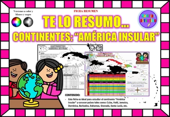
FICHA RESUMEN - Te lo Resumo... "América Insular" (IMPRIMIBLES) |GEOGRAFÍA|
A sus estudiantes les encantará esta ficha resumen sobre "Los Continentes: América Insular (Antillas)". Esta hoja incluye pequeños datos del hombre de: Cuba, Haití, Jamaica, Dominica, Barbados, Bahamas, Granada, Santa Lucía, etc. Esta hoja resumen es perfecta para revisión, una actividad rápida, un proyecto de investigación, un organizador gráfico, centros, proyectos de toda la clase o proyectos de equipo. Los estudiantes pueden divertirse mientras aprenden todo sobre el continente de América In
Grades:
PreK - 12th, Higher Education, Adult Education
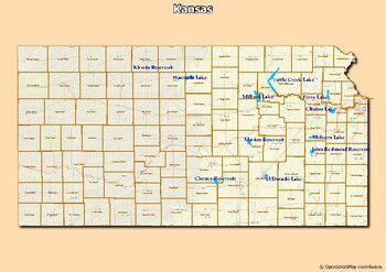
Map of major rivers and map of major lakes in the state of Kansas, USA
Map of major rivers and map of major lakes in the state of Kansas, USAThis material gives you two specific maps, one for rivers and one for lakes, which provide an engaging way to learn about geography.Rivers Map: This map shows the major rivers in Kansas. Using a blank map, students can fill in the names of rivers on the blank map, developing their geography and mapping skills.Lakes Map: Discover the largest lakes in the state of Kansas. Using this white map, students will be able to identify a
Grades:
4th - 12th, Higher Education, Adult Education
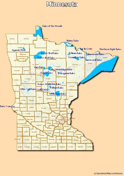
Map of major rivers and map of major lakes in the state of Minnesota, USA
Map of major rivers and map of major lakes in the state of Minnesota, USAThis material gives you two specific maps, one for rivers and one for lakes, which provide an engaging way to learn about geography.Rivers Map: This map shows the major rivers in Minnesota. Using a blank map, students can fill in the names of rivers on the blank map, developing their geography and mapping skills.Lakes Map: Discover the largest lakes in the state of Minnesota. Using this white map, students will be able to i
Grades:
4th - 12th, Higher Education, Adult Education
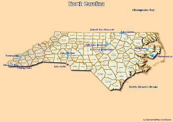
Map of major rivers and map of major lakes in the state of North Carolina, USA
Map of major rivers and map of major lakes in the state of North Carolina, USAThis material gives you two specific maps, one for rivers and one for lakes, which provide an engaging way to learn about geography.Rivers Map: This map shows the major rivers in North Carolina. Using a blank map, students can fill in the names of rivers on the blank map, developing their geography and mapping skills.Lakes Map: Discover the largest lakes in the state of North Carolina. Using this white map, students wi
Subjects:
Grades:
4th - 12th, Higher Education, Adult Education
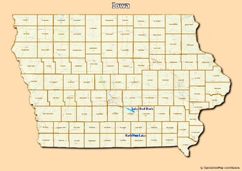
Map of major rivers and map of major lakes in the state of Iowa, USA
Map of major rivers and map of major lakes in the state of Iowa, USAThis material gives you two specific maps, one for rivers and one for lakes, which provide an engaging way to learn about geography.Rivers Map: This map shows the major rivers in Iowa. Using a blank map, students can fill in the names of rivers on the blank map, developing their geography and mapping skills.Lakes Map: Discover the largest lakes in the state of Iowa. Using this white map, students will be able to identify and mar
Grades:
4th - 12th, Higher Education, Adult Education

Map of rivers and map of lakes in the state of Georgia, USA
Map of rivers and map of lakes in the state of Georgia, USAThis material gives you two specific maps, one for rivers and one for lakes, which provide an engaging way of learning about geography.Rivers Map: This map shows the major rivers in Georgia. Using a blank map, students can fill in river names on the blank map, developing their geography and mapping skills.Lakes Map: Discover the largest lakes in the state of Georgia. Using this blank map, students will be able to identify and mark import
Grades:
5th - 12th, Higher Education, Adult Education
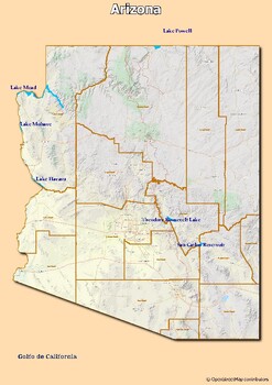
Map of rivers and map of lakes in the state of Arizona, USA
Map of rivers and map of lakes in the state of Arizona, USAThis material gives you two specific maps, one for rivers and one for lakes, which provide an engaging way of learning about geography.Rivers Map: This map shows the major rivers in Arizona. Using a blank map, students can fill in river names on the blank map, developing their geography and mapping skills.Lakes Map: Discover the largest lakes in the state of Arizona. Using this blank map, students will be able to identify and mark import
Grades:
5th - 12th, Higher Education, Adult Education
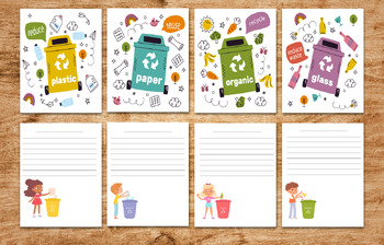
Eco activites of trash containers classification-waste management - printables
31 pages of Environmental Science WasteManagement eco activites and coloring pages posters and stickers1 pdf include 31 pages letter sizeGarbage recycle bins set. activites of trash containers classification. Recycling bins separation. waste management concept. trash and waste, sign concept garbagecollection of plastic glass metal organic paper trash coloring pages of environment symbolsposters of : circular economy infographicBlack lettering ecology 4 postersstickers of ecology badgesAll page
Subjects:
Grades:
PreK - 12th, Higher Education, Adult Education, Staff
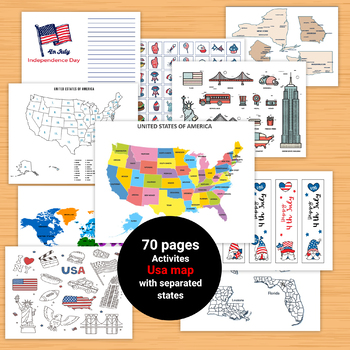
United States Geography Maps Activities,Clipart of USA,Geography Map
70 pages - printable downloadAll the worksheets and activities you will need to help teach the subject USA!Beautiful Coloring pages of USA stickers and symbols, ABC font with flag inside . clipart of USA, Bookmarks,games, United States Map PuzzleUnited States Map Quiz & Worksheet: USA Map Test w/ Practice Sheet Pages of colorful and simplified map of the United States shows the states, location of the capitolsThe United States of America Map - Blank - Full Page Geography Map Skills Activiti
Subjects:
Grades:
PreK - 12th, Higher Education, Adult Education, Staff

Paris Interactive Map Activity- Travel to France
This activity offers students the opportunity to embark on a virtual tour of Paris. Students will navigate an interactive Google map that I personally created, which is publicly accessible. The map features markers hovering over 12 significant landmarks in Paris. When a student clicks on a marker, a photo and a brief description of the landmark will appear. Students will then complete a provided worksheet by extracting information from the virtual tour. The worksheet consists of two parts:1. In
Subjects:
Grades:
10th - 12th, Adult Education
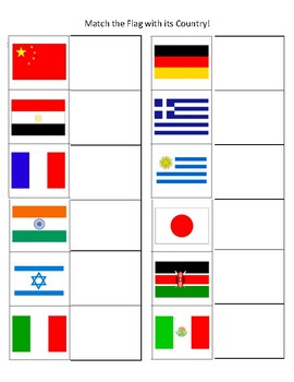
Match the Flag with Country Game/File Folder (ASD, Special Needs)
Can be made into a file folder. Perfect for students who love world flags. They will be able to match the flag to it's country!
Subjects:
Grades:
PreK - 12th, Higher Education, Adult Education
Talking about Wild Animals Complete Communicative ESL Lesson for Low (A2) Levels
Discover the Wild: An Engaging ESL Lesson on Wild AnimalsEmbark on a wild adventure with "Talking about Wild Animals," a captivating PowerPoint lesson designed to enrich ESL learners' vocabulary and conversational skills regarding animals and their natural habitats. This lesson dives into the diverse ecosystems of the Amazon Rainforest, African savannah, the ocean, and the Arctic tundra, introducing students to the fascinating world of wild animals including lions, dolphins, toucans, and polar b
Subjects:
Grades:
3rd - 12th, Higher Education, Adult Education
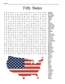
Social Studies Fifty States Word Search Puzzle Worksheet Sub Plan
Do you want your students to memorize all of the fifty states of America? Have them sing along to the song as they work on this...... Alabamaaaaaaa, Alaskaaaa, Arizonaaa!!!!
Grades:
K - 5th, Adult Education
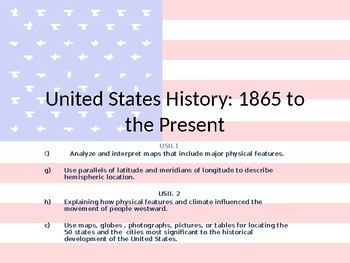
United States Regions
Analyze and interpret maps that include major physical features.
Use parallels of latitude and meridians of longitude to describe hemispheric location.
USII. 2
Explaining how physical features and climate influenced the movement of people westward.
Use maps, globes, photographs, pictures, or tables for locating the 50 states and the cities most significant to the historical development of the United States.
Grades:
5th - 6th, Adult Education
Your Traveling Bucket List / ESL Speaking Lesson for Low Levels (A2 level)
Attention ESL teachers! Are you looking for a fun and engaging lesson that will help your low-level English learners talk about interesting places to travel? Look no further than "Your Traveling Bucket List"!Our lesson is designed to get your students talking and planning their dream trips. Although originally intended for in-person classes, it can be easily adapted for online group lessons. With groups of 4-5 students, our lesson includes a sample lesson plan at the back of the PowerPoint for e
Subjects:
Grades:
8th - 12th, Higher Education, Adult Education
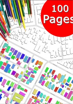
New York map coloring pages - 100 maps
New York map coloring pages - 100 mapsA New York map coloring pages is a great way to explore United States of America metropolis. The Central New York Coloring Map is an intricate map showing each of the major landmarks, buildings, labeled streets, parks, gardens and rivers in black outline. It's a great way to explore the city and get a better understanding of its layout.It provides an opportunity to learn about city planning and express creativity through the use of color.With fun activities
Grades:
4th - 12th, Higher Education, Adult Education, Staff
Showing 1-24 of 43 results


