170 results
Thanksgiving geography resources for Easel Assessments
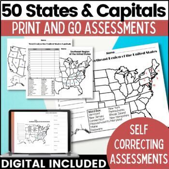
50 States and Capitals Map Activities Print & Digital Resource
Help your students learn and remember the 50 United States and Capitals. This product breaks the 50 states into five regions to make learning easier to manage and teach. United States maps are included with printable assessments, self correcting digital assessment and digital practice worksheets.Update! Easel Digital Version is Included (updated 7/2022)Self Correcting Assessments and Easy to Assign!Save $$$ when you buy as a bundle:The United States and Capitals Geography Review Activities and A
Grades:
3rd - 5th
Types:
Also included in: 50 States and Capitals Bundle Map Print & Digital Resource 50% OFF
Ecosystems and Biomes Reading Comprehension Passage PRINT and DIGITAL
This easy to read, one page passage defines ecosystems and biomes and explains the difference between the two terms. It describes 7 of Earth's major biomes: arctic tundra coniferous forestsdeciduous forestsrainforestsgrasslandsdesertsaquatic biomesThis download includes a one page passage with color and black line versions of the illustration, 10 multiple choice reading comprehension questions, an answer key, and 2 self-scoring digital versions - EASEL and Google Forms. Color and black line illu
Subjects:
Grades:
4th - 7th
Types:
NGSS:
MS-LS3-1
Also included in: Ashton's Custom Science Shorts Reading Comprehension Bundle
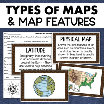
Types of Maps Map Features Skills Geography Posters Social Studies Assessment
Students will learn about different types of maps and common map features with this social studies resource. It includes 17 visuals/posters plus a worksheet/assessment.MAPS POSTERSThese can be kept together as a single page or cut apart into separate cards for display or a matching activity. The top of each card has the title and definition, and the bottom has a full-color illustration. WORKSHEETThis activity requires students to match the types of maps to their purpose, know the function of var
Subjects:
Grades:
3rd - 6th
Types:
Also included in: Geography Landforms & Bodies of Water Types of Maps Map Elements Posters
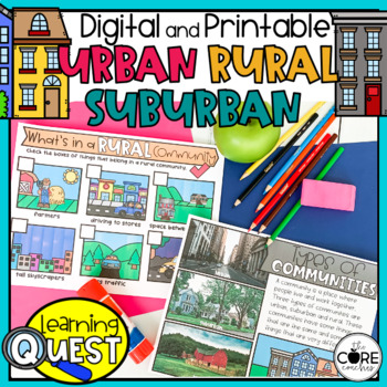
Types of Communities - Urban, Suburban, Rural Communities
These digital Types of Communities activities are easy to use as traditional classroom lesson plans, centers, homework, independent work, or they’re great for fast finishers in first and second grades. Busy teachers love these low-prep lessons and activities that are sure to engage their students! With print & digital options, Learning Quests provide a balance of face to face and device-based learning styles for your modern classroom.Why do teachers and students love our Learning Quests?We a
Subjects:
Grades:
1st - 2nd
Types:
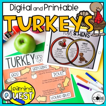
Turkey Lesson Plans - Digital & Print All About Turkeys Activities -Thanksgiving
These digital All About Turkeys activities are easy to use as traditional classroom lesson plans, centers, homework, independent work, or they’re great for fast finishers in first and second grades. Busy teachers love these low-prep Thanksgiving lessons and activities that are sure to engage their students! With print & digital options, Learning Quests provide a balance of face to face and device-based learning styles for your modern classroom.Why do teachers and students love our Learning Q
Subjects:
Grades:
1st - 2nd
Types:
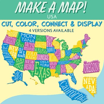
Interactive Bulletin Board United States Map Activity
Transform your classroom into a vibrant learning space with this Interactive Bulletin Board United States Map Activity. This engaging project invites students to actively participate in constructing a colossal wall map of the USA, fostering a collaborative and hands-on approach to learning United States geography. Assign each student a state and watch as the United States comes together, state by state, on your bulletin board! The finished map is an impressive 73 inches in length and 55 inches i
Grades:
4th - 7th
Also included in: USA Geography MEGA Bundle
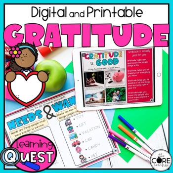
Gratitude Activities - Digital & Print Thanksgiving Thankful Lesson Plans
These digital Gratitude activities are easy to use at Thanksgiving as traditional classroom lesson plans, centers, homework, independent work, or they’re great for fast finishers in first and second grades. Busy teachers love these low-prep lessons and activities that are sure to engage their students! With print & digital options, Learning Quests provide a balance of face to face and device-based learning styles for your modern classroom.Why do teachers and students love our Learning Quests
Subjects:
Grades:
1st - 2nd
Types:
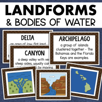
Landforms and Bodies of Water Posters Geography Skills Vocabulary Worksheet
Give your landforms and bodies of water unit a visual boost with this set of illustrated examples! Students will get to SEE what each landform or water body looks like and better understand their features.WHAT YOU WILL GETThis resource contains 24 visuals plus a digital assessment. Each page includes an illustration of the landform or body of water along with the title and definition. Includes:archipelagobaybeachbuttecanalcanyoncavecliffdeltaduneglacierhillislandisthmuslakemesamountainoceanpenin
Grades:
4th - 7th
Also included in: Geography Landforms & Bodies of Water Types of Maps Map Elements Posters
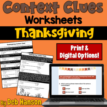
Context Clues Worksheets for Thanksgiving in Print and Digital Easel
Your students will read sentences and paragraphs related to Thanksgiving. To answer the twelve multiple-choice questions, they will need to use context clues to decipher the meaning of each word. Words include: delectable, overindulged, aroma, famished, devour, carve, hardships, adequate, harsh, benevolent, and provisions.I created this because I have found that not only my EL students, but the vast majority of students at my school struggle with this type of question on multiple-choice tests. A
Grades:
3rd - 6th
Types:
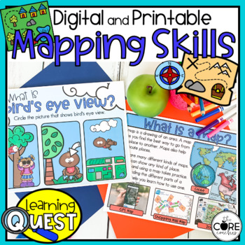
Map Skills Activities - Print & Digital Map Skills Lessons
These digital Mapping Skills activities are easy to use as traditional classroom lesson plans, centers, homework, independent work, or they’re great for fast finishers in first and second grades. Busy teachers love these low-prep lessons and activities that are sure to engage their students! With print & digital options, Learning Quests provide a balance of face to face and device-based learning styles for your modern classroom.Why do teachers and students love our Learning Quests?We all kno
Subjects:
Grades:
1st - 2nd
Types:
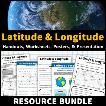
Latitude and Longitude Activities | Map Skills Worksheets Posters Presentation
Learning about latitude and longitude is fun and easy with this resource bundle! This ready-to-use no prep value bundle teaches students about latitude and longitude, the hemispheres of the world, major lines of latitude and longitude (Equator, Prime Meridian, Tropic of Cancer and Capricorn, Arctic and Antarctic Circle), and finding locations using geographic coordinates! This bundle includes: Four handouts introducing latitude and longitude, the world's hemispheres, absolute and relative locati
Grades:
5th - 9th
Types:
CCSS:
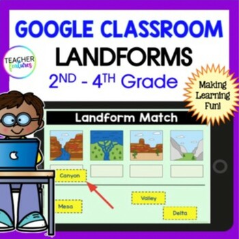
LANDFORMS & BODIES OF WATER 3rd 4th GRADE Google Slides EASEL Geography Activity
Students stay highly engaged as they learn to identify 24 landforms, bodies of water & define geography vocabulary using Google Slides. Each page includes a photo of the landform or body of water along with the title & description in simple, clear language. This resource also allows you to assess skills with a multiple-choice landform quiz. Use these Landform and Bodies of Water Google Slides to add fun to your social studies lessons now! Landforms: Archipelago, Bay, Butte, Canyon, Cav
Grades:
2nd - 4th
Types:
Main Idea and Best Title Worksheets for Thanksgiving with Print and Digital
This main idea and supporting details resource consists of four practice worksheets. Each worksheet contains a high-interest nonfiction reading passage related to Thanksgiving. This will provide you with an opportunity to spiral back to review the skill of identifying the main idea and supporting details during the month of November! Finding the main idea and the key supporting details can be a difficult skill for some students to master, so repeated opportunities at multiple points throughout t
Grades:
4th - 6th
Types:
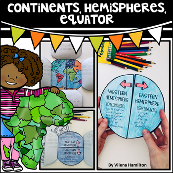
Continents. Hemispheres. Equator. Reading Passage & Foldable.
Reading Passage + Foldable to help your students memorize the continents and understand hemispheres in a simple and not so boring way. Here is what's included:- 2-Page Reading Passage about continents, hemispheres, & equator with 10 comprehension questions;- Foldable Templates;- Answer Keys for everything.You might also like:Maps. Map Skills. Compass Rose. Distance Scale. Map Key. Map Grid.Family Tree Project. Digital & Printable3 Branches of Government Mini Interactive Lapbook. Digital
Grades:
2nd - 3rd
Also included in: Geography Bundle
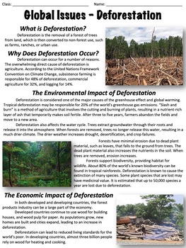
Deforestation - Global Issues
This worksheet covers the issue of deforestation. An optional, ten-question multiple-choice worksheet is included. The worksheet is divided into the following sections:What is deforestation?Why does deforestation occur?The environmental impact of deforestationThe economic impact of deforestationDeforestation ratesHealth concernsCan deforestation be slowed or stopped?There are two extended response questions:What do you think the best method is to reduce deforestation and why? What can individual
Grades:
6th - 9th
Types:
Also included in: Global Issues Bundle
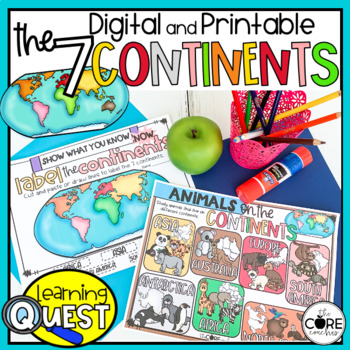
7 Continents Activities - Print & Digital Continent Lessons
These digital Seven Continents activities are easy to use as traditional classroom lesson plans, centers, homework, independent work, or they’re great for fast finishers in first and second grades. Busy teachers love these low-prep lessons and activities that are sure to engage their students! With print & digital options, Learning Quests provide a balance of face to face and device-based learning styles for your modern classroom.Why do teachers and students love our Learning Quests?We all k
Subjects:
Grades:
1st - 2nd
Types:
Author's Purpose PIE'ED worksheet for Thanksgiving with Print and Digital Easel
Use this author's purpose worksheet during the month of November to give your students an opportunity to review how to identify an author's purposes for writing a passage. This is an educational worksheet that students can complete before Thanksgiving. Students read five short passages related to Thanksgiving. They must determine whether the author's purpose is to persuade, entertain, inform, explain, or describe. Students are also asked to justify their answers. ********This resource is availa
Grades:
4th - 6th
Types:
CCSS:
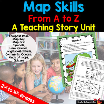
Map skills Unit Print and Digital
Energize your map unit with this high interest map and globes teaching unit for 2nd, 3rd or 4th grade students! You get everything you need for your Maps and Globes study with this fun resource, including a three page "hook" story about a lost alien.If you are a busy teacher (HA! of COURSE you are!) this unit is a real time saver!Everything you need is in one placeCovers most curriculum concepts for any state, or country's needsSpirals from beginning concepts to more complexActivities can be
Subjects:
Grades:
2nd - 4th
Types:
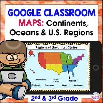
Map Skills US REGIONS CONTINENTS & OCEANS Google Slides & EASEL
Review map skills, 7 continents, identify world oceans & U.S. Regions: Northeast, Southeast, Midwest, Southwest & West using Google Slides. Interactive activities are great for all levels of learning. Use this with your smart board or for individual devices. Includes an Easel Activity! (33 Google Slides, 21 EASEL pages & 60 EASEL Questions)The Google Slide Access link contains 33 slides and 60 Question Easel Assessment:- Continent slides: with labels, without labels & drag the l
Grades:
2nd - 4th
Types:
Continents and Oceans Geography Interactive PowerPoint and Mini Book with Easel
Continents and Oceans PowerPoint. Useful for studying the seven continents of the Earth and the five oceans in your geography or Social Studies classes. Includes examples of some major features of each continent of the world and some animals that are unique to each. Students will also see a visual about the equator and the hemispheres of the planet. Great supplemental activity for Earth Day, too. Has l interactive review slides and a printable for students to follow along. There are two Easel As
Subjects:
Grades:
1st - 4th
CCSS:
Also included in: Earth Day Activities Bundle
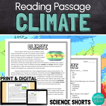
Climate Reading Comprehension Passage PRINT and DIGITAL
This easy to read, one page passage about climate explains:the difference between climate and weatherEarth is divided into 5 main climate categories: tropical, dry, temperate, continental, and polarclimate is affected by latitude, elevation, landforms, ocean wind and currents, and closeness to waterclimate determines which plant and animal species can survive in a regionclimate can change over long periods of time (like during ice ages) and human activities can affect climate change The passage
Subjects:
Grades:
3rd - 6th
Types:
NGSS:
MS-LS2-5
, MS-LS2-4
, MS-ESS3-5
, 3-ESS2-2
, MS-ESS2-6
...
Also included in: Ashton's Custom Science Shorts Reading Comprehension Bundle
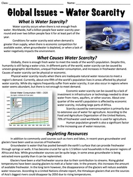
Water Scarcity - Global Issues
This worksheet covers water scarcity, including its causes, impact, and more. An optional worksheet with ten multiple-choice questions is included.The worksheet is divided into the following sections: What is water scarcity?What causes water scarcity?Depleting resourcesImpact on the environmentThreats posed by water scarcityWhat can be done?At the end there are two extended response questions:Where you live, how concerned are you with water scarcity? Why?What do you think would happen if a major
Grades:
6th - 9th
Types:
Also included in: Global Issues Bundle
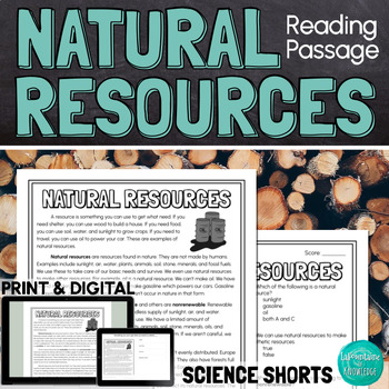
Natural Resources Reading Comprehension Passage PRINT and DIGITAL
This easy to read, one page passage about natural resources explains:natural resources are found in nature but can be used to make synthetic resourcesexamples of natural resourcesthe difference between renewable and nonrenewable resourcesnatural resources are not evenly distributed on Earth because of factors like climate, geologic processes, and the location of ancient lifethe uneven distribution of resources has led to conflict and warThe passage includes 10 multiple choice reading comprehensi
Subjects:
Grades:
4th - 7th
Types:
NGSS:
MS-ESS3-1
, MS-ESS3-4
, MS-PS1-3
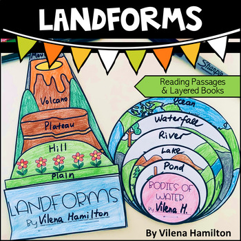
Landforms and Bodies of Water
Make learning about geography engaging and fun for your young learners!Your students will have an opportunity to read about the landforms and bodies of water first, answer some comprehension questions and then construct 2 layered books with the definitions for each landform/body of water. Here is what’s included:- 2 Reading Passages: Landforms and Bodies of Water- Comprehension Questions- Templates - Detailed Instructions- Answer Keys for everything You might also like:Continents. Hemispheres. E
Showing 1-24 of 170 results


