139 results
7th grade geography resources for SMART Notebook and for homeschool
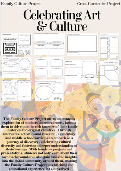
Family Culture Project: Activities, Resources, Google Slides and Lessons
The Family Culture Project offers an engaging exploration of students' ancestral roots, inviting them to delve into the rich tapestry of their family histories and original countries. Through interactive activities and research, elementary and middle school participants embark on a journey of discovery, celebrating cultural diversity and fostering a deeper understanding of their heritage. With hands-on projects and presentations, students not only learn about their own backgrounds but also gain
Subjects:
Grades:
1st - 8th
Types:
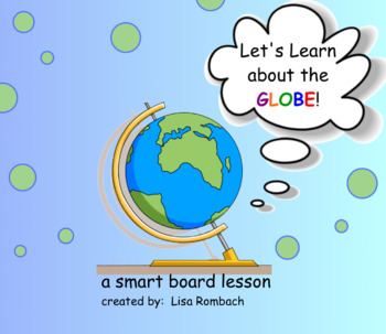
The Globe Social Studies SmartBoard Lesson Primary Grades
Time for a geography lesson! Your students will love learning about the earth and it's model, the globe. This lesson includes a teacher's notes page, 2 graphs, link to interactive website that allows you to unwrap the globe, links to videos (size of earth, moon, sun, how a globe is made) and finally, a cloze writing activity to review the concepts from the lesson. Students will learn about the size of the earth, that the globe is a model of the earth, that the earth has more water than land,
Subjects:
Grades:
1st - 3rd
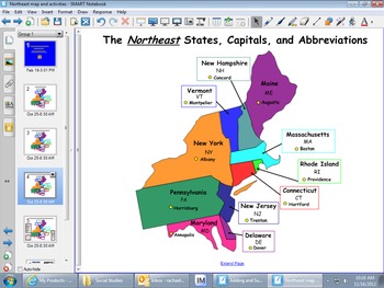
Northeast Region Map and Smartboard Activities
These Smartboard slides were created to help students who are studying the regions of the United States to learn the states, capitals and abbreviations. Students can label the maps. Also, the last slide focuses on key terms of the history, culture, geography, climate, agriculture, and manufactoring of this region.
Subjects:
Grades:
3rd - 6th
Types:
Also included in: REGIONS OF UNITED STATES SMART BOARD SLIDES *BUNDLE/ EDITABLE
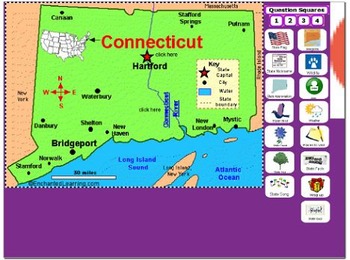
All About Connecticut
PLEASE NOTE: This file needs Notebook Software in order to successfully open. In accordance with TPT policies I am not authorized to issue any refunds.Adobe has discontinued Flash Player and removed all support for Flash in 2020. As a result, Adobe Flash Player is no longer compatible with recent versions of SMART Notebook (version 17 and later for Windows, version 16.2 and later for Mac). Modern versions of web browsers no longer allow Flash objects to be played. Although SMART Notebook autom
Subjects:
Grades:
2nd - 5th
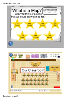
Early Map Skills
This UNIT contains Smartboard lessons that are geared towards children who are just learning basic map skills. Some key concepts covered are the following.
Introduction to a variety of maps, Early maps, Parts of Maps, Directions (N,S,E,W), Compass Rose, Map Symbols, Map Keys, Scale, Standard and Metric Scale Measurements, Map Titles, Map Labels, Types of Maps, Globes, The Equator, Hemispheres, Landforms, Relief Maps, Product Quilts. This Unit also includes printable worksheets available in PDF
Grades:
1st - 4th
Virginia Studies SMARTboard Lesson - VA Geography - VS.2
**Updated to the NEW Virginia SOLS (2016)**
This is a 26 page instructional SMART Board lesson that covers Virginia Studies SOLs VS.2 a,b,c - the entire Virginia Geography Unit. This lesson is full of interactive activities, video clips, websites, pictures and more!
This SMARTboard usually takes me about 2 -3 weeks to teach. It is aligned perfectly to my interactive notebook on this topic that is also listed here on TPT. You can find it here: https://www.teacherspayteachers.com/Product/Virgin
Grades:
3rd - 8th
Types:
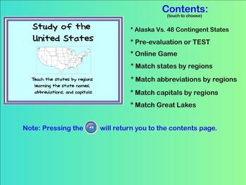
Learn the States - state names, capitals, abbreviations (Smartboard activities)
This product allows you to teach the different states within the United States in a FUN way!
Students are able to drag the states' names, capitals, or abbreviations to the appropriate location on the map. Correct answers will respond but incorrect answers will bounce back into the list. (Allows immediate evaluation of the students' knowledge of the material)
The SMARTboard activities teach/reinforce the states within different regions of the continent. By working with only a few states at a
Grades:
3rd - 6th
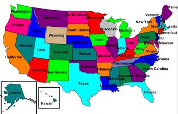
United States Labeling Puzzle Map
This is a map of the United States for students to label. Teachers can scramble up the puzzle and students put it back together. This is a great activity to get students up out of their seats and do a hands-on activity with technology
Subjects:
Grades:
6th - 10th

Virginia Studies SMARTboard Lesson - Virginia Government & Economy - SOL VS.10
This 16 page instructional SMARTboard unit lesson covers the topic of "Virginia Government and Geography." This lesson covers ALL of the Virginia SOLs VS.10 (updated with NEW SOLs in 2017). This lesson is fun, well organized, and will keep your students' attention! It has tons of pictures, video clips, and interactive parts. Use my SMARTboards in place of a textbook! My interactive notebooks (also featured on TPT) correspond perfectly with the SMARTboards and are a perfect way for your stud
Grades:
3rd - 9th
Coordinate & Mapping Skills
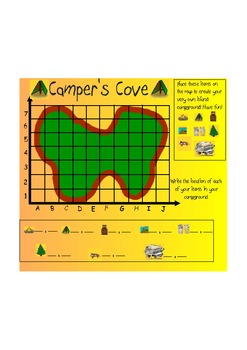
This is an introductory lesson about coordinate mapping. It begins by demonstrating the X and Y axis and teaching them how to read them in the correct order. Then it moves into asking the children to identify the location of certain items on the map. Lastly, it asks them to write the locations of the items on the lines on the board. Great thing about Smart, is that if a child is absent, print the pages, and send them home for homework, or great for make-up work! This lesson is aligned with the N
Subjects:
Grades:
3rd - 5th
Southeast Region Map and Smartboard Activities
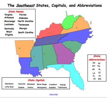
This Smartboard document contains slides of the Southeast region and includes labels for state names, capitals and abbreviations that can be dragged and dropped on the map. In addition, there is a slide which includes key words which can be dragged and dropped into the graphic organizer under the topics of geography, climate, agriculture, manufactoring, history and culture. This is a great activity for a social studies center or whole group instruction.
Subjects:
Grades:
2nd - 8th
Also included in: REGIONS OF UNITED STATES SMART BOARD SLIDES *BUNDLE/ EDITABLE
Central America and Caribbean Labeling Puzzle map
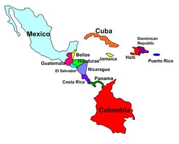
Map of Central America and Caribbean for students to label. Teachers can scramble up the puzzle and students put it back together. This is a great activity to get students up out of their seats and do a hands-on activity with technology
Subjects:
Grades:
6th - 10th
All About Arkansas
PLEASE NOTE: This file needs Notebook Software in order to successfully open. In accordance with TPT policies I am not authorized to issue any refunds.
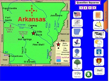
This notebook software file is all about Arkansas. If you need a fun way of introducing the state this will help you out! The file is 48 slides long. The slides include state symbols, fun facts, places to visit, weather, wildlife, and regions. It provides basic information. It is geared for grades 2-5. Some of the slides include short video clips
Subjects:
Grades:
2nd - 5th
Types:
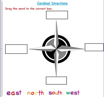
Cardinal Direction Smart board Activities:
Smart board Cardinal Direction Activities:
3 activities are included.
1- Drag the direction word to the correct box.
2- Park cardinal direction activity.
3- Town cardinal direction activity.
Creative Commons License
Cardinal Direction Smart board Activities: by Mumtaz Azmat is licensed under a Creative Commons Attribution-NonCommercial-NoDerivatives 4.0 International License.
Subjects:
Grades:
1st - 3rd
Types:

Geography- Europe Labeling Puzzle Map
Map of Europe for students to label. Teachers can scramble up the puzzle and students put it back together. This is a great activity to get students up out of their seats and do a hands-on activity with technology
Subjects:
Grades:
6th - 10th
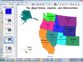
West Region Map & Smartboard Activities
This Smartboard document contains slies of the west region and includes labels for state names, capitals and abbreviations that can be dragged and dropped on the map. In addition, there is a slide which includes key words which can be dragged and dropped into the graphic organizer under the topics of geography, climate, agriculture, manufactoring, history and culture. This is a great activity for a social studies center or whole group instruction.
Subjects:
Grades:
2nd - 8th
Also included in: REGIONS OF UNITED STATES SMART BOARD SLIDES *BUNDLE/ EDITABLE
Virginia Geography & Regions Review SMARTboard Game
This is a SMARTboard Jeopardy style game to review the Viriginia 4th Grade Social Studies SOLs for Virginia Geography & Regions. Categories include: Virginia Regions, Virginia Waterways, Products, Industries, & Miscellaneous. This is a great way to end your study of this unit or to review for SOLs! It can be used after my Virginia Geography instructional SMARTboard lesson, also listed on Teachers Pay Teachers!
Grades:
3rd - 8th
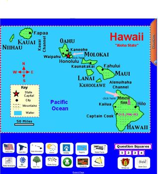
All About Hawaii
PLEASE NOTE: This file needs Notebook Software in order to successfully open. In accordance with TPT policies I am not authorized to issue any refunds. This notebook software file is all about Hawaii. It is meant to be used as an introduction. The file is 45 slides long. The slides include state symbols, fun facts, places to visit, weather, wildlife, and regions. It provides basic information. It is geared for grades 2-5. Some of the slides include short video clips to add excitement to the lear
Subjects:
Grades:
2nd - 5th
Types:
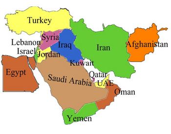
Middle East Labeling Puzzle map
Map of the Middle East for students to label. Teachers can scramble up the puzzle and students put it back together. This is a great activity to get students up out of their seats and do a hands-on activity with technology
Subjects:
Grades:
6th - 10th
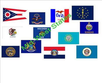
States and Capitals - Mid-West States
An interactive activity that provides your students a fun way to practice states, capitals, and abbreviations for the Mid-Western states. Great for social studies, center time, or mini-lessons. The Browns.
Grades:
2nd - 12th
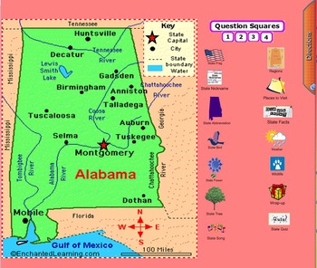
All About Alabama
PLEASE NOTE: This file needs Notebook Software in order to successfully open. In accordance with TPT policies I am not authorized to issue any refunds.This notebook software file is all about Alabama. If you need a fun way of introducing the state this will help you out! The file is 55 slides long. The slides include state symbols, fun facts, places to visit, weather, wildlife, and regions. It provides basic information. It is geared for grades 2-5. Some of the slides include short video clip
Subjects:
Grades:
2nd - 5th
Types:

5 Themes of Geography Smartboard Lesson
This is a Smartboard activity that uses an interactive whiteboard to help the students become engaged in the lesson. The lesson focuses on the 5 themes of geography: location, place, movement, region, and human-environment interaction. This activity provides definitions, as well as examples of the themes of geography. Students are able to interact with the information throughout the entire lesson.
Subjects:
Grades:
4th - 9th
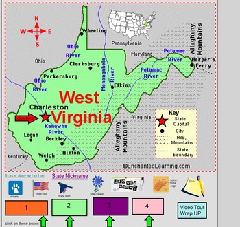
All About West Virginia
PLEASE NOTE: This file needs Notebook Software in order to successfully open. In accordance with TPT policies I am not authorized to issue any refunds.Adobe has discontinued Flash Player and removed all support for Flash in 2020. As a result, Adobe Flash Player is no longer compatible with recent versions of SMART Notebook (version 17 and later for Windows, version 16.2 and later for Mac). Modern versions of web browsers no longer allow Flash objects to be played. Although SMART Notebook autom
Subjects:
Grades:
2nd - 5th
Types:
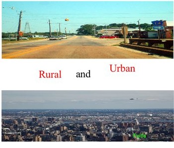
Rural and Urban (Where do you live?)
This is a Smart board/ worksheet activity in which the student is introduced to the labels and objects connected to where they live and where other people live in our country. The student will be able to touch the white screen and see labels appear! They will have the opportunity to sort out objects drag words. The worksheets will reinforce the smart board activity. The student will also be able to make two mini books on the two different types of areas we live in.
Grades:
1st - 3rd
Showing 1-24 of 139 results


